4 min
Overview
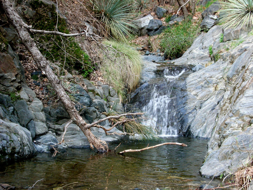
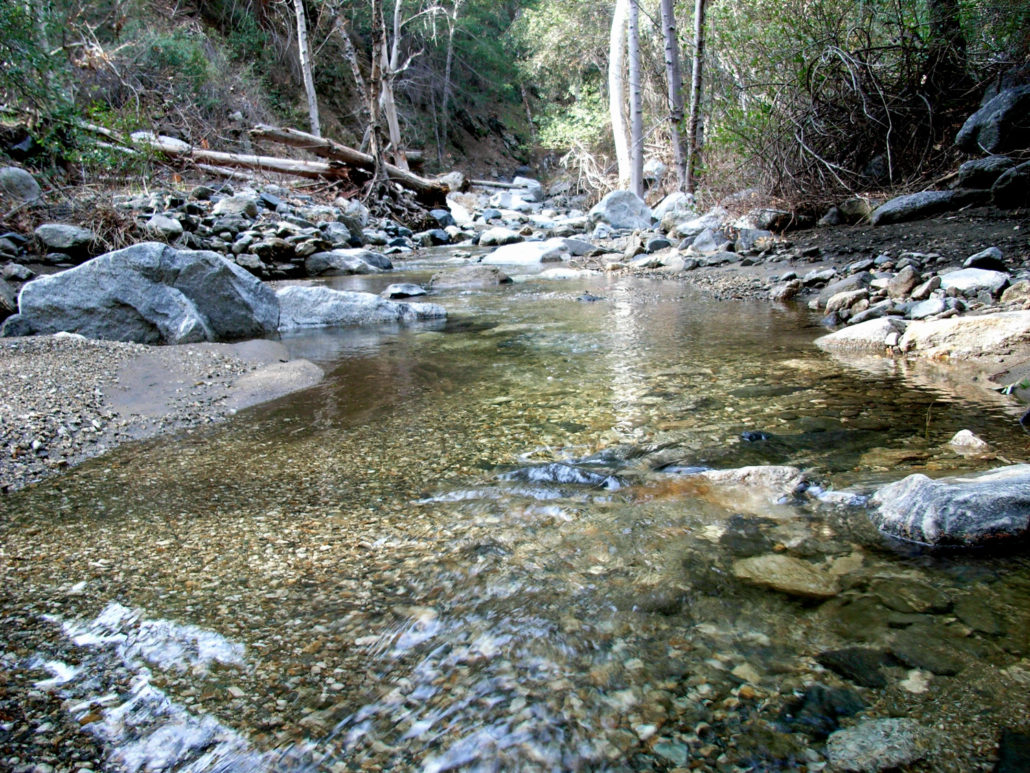
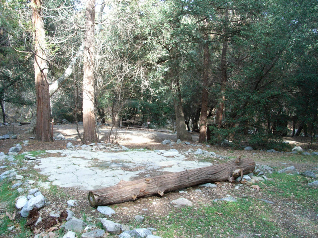
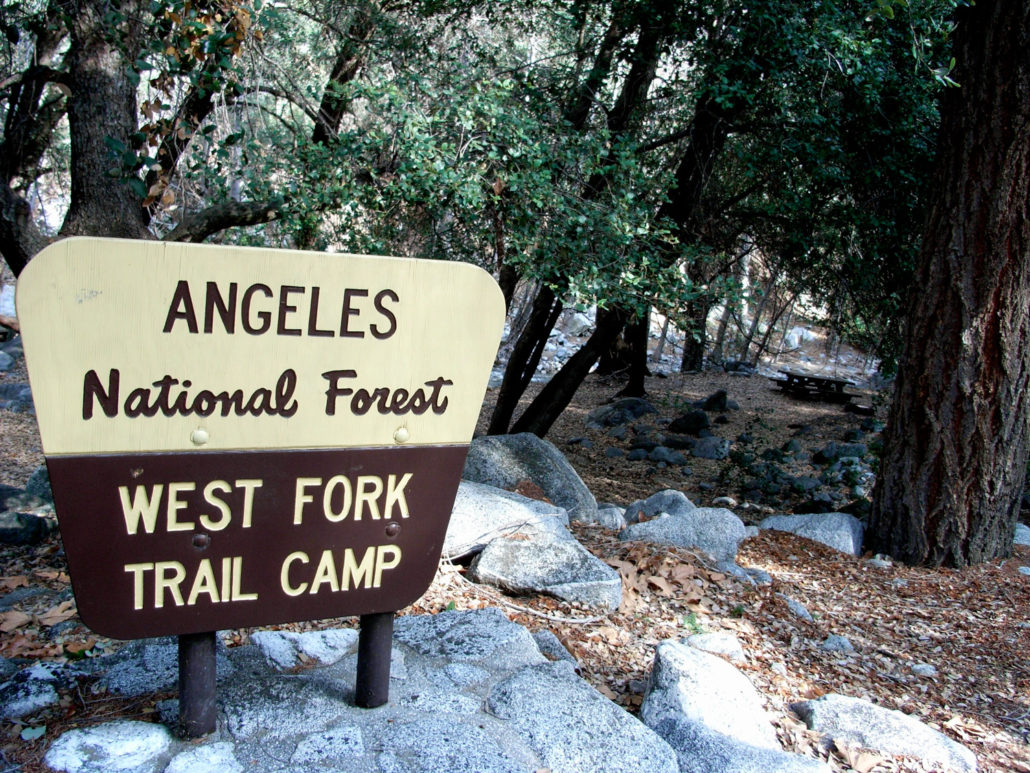
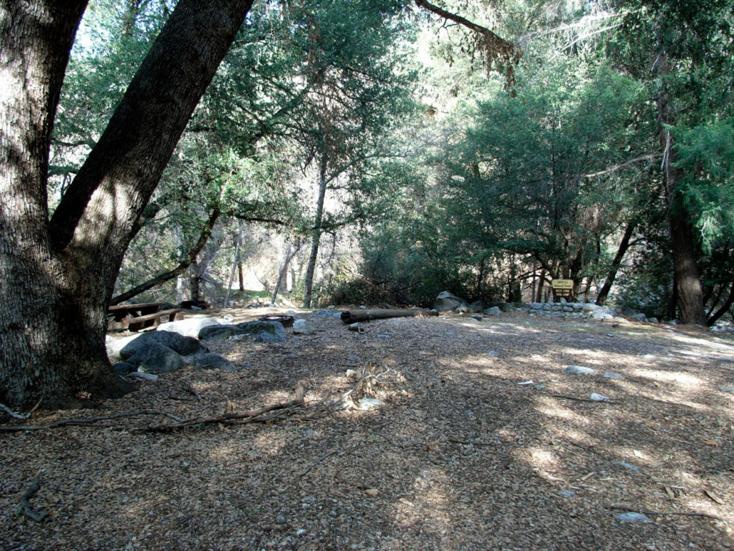
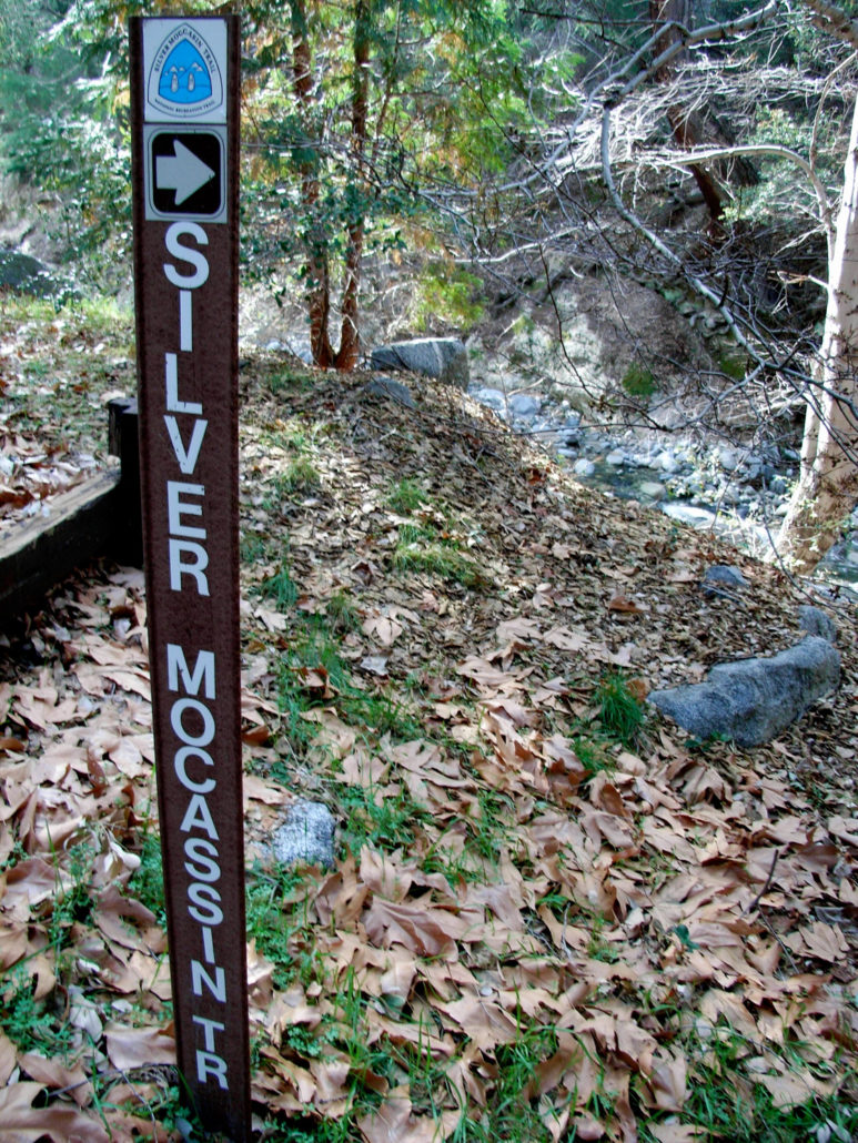
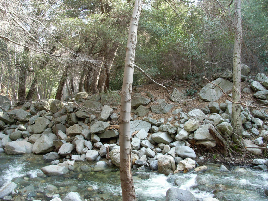
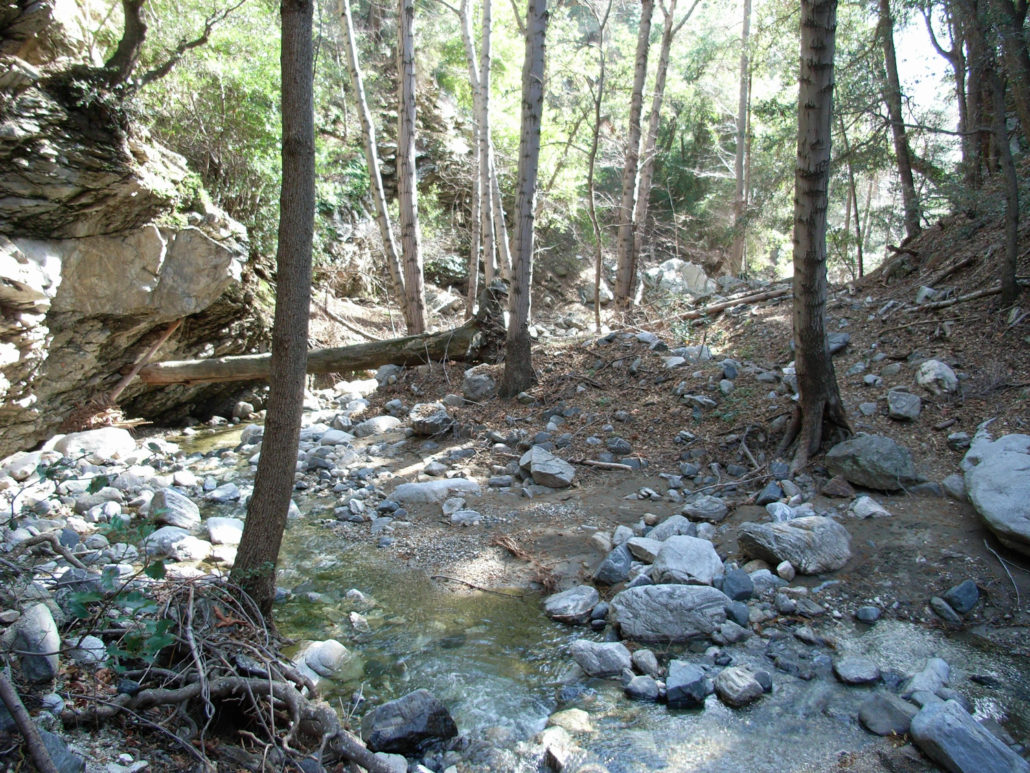
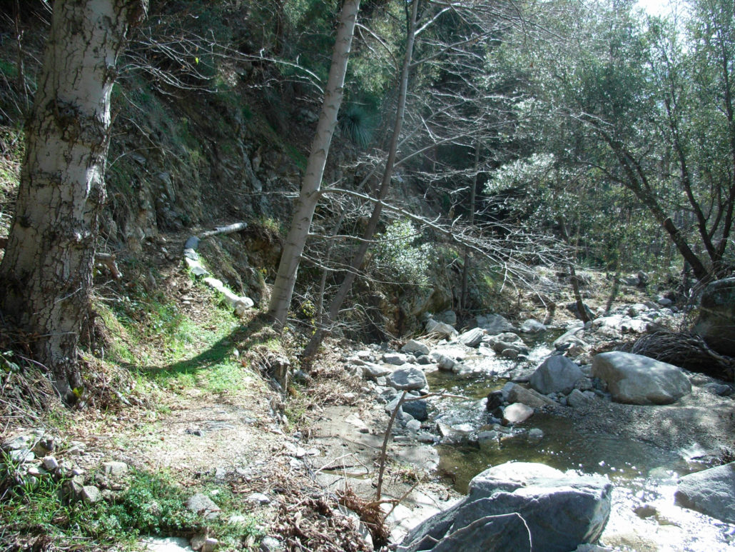
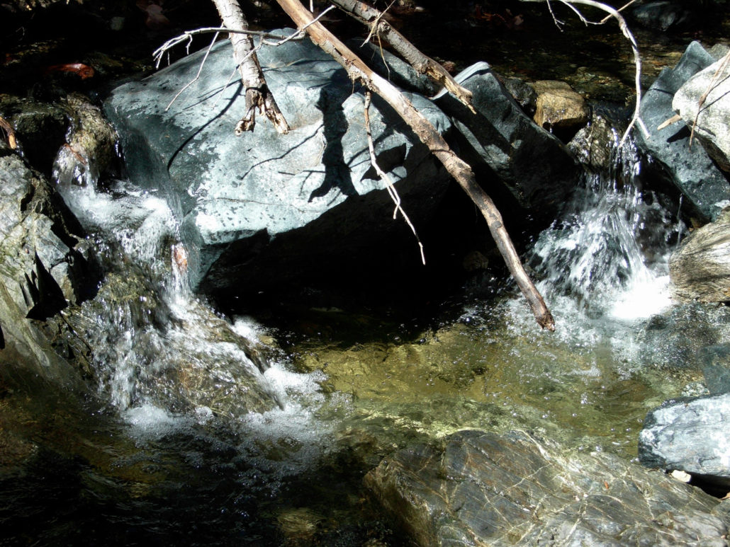
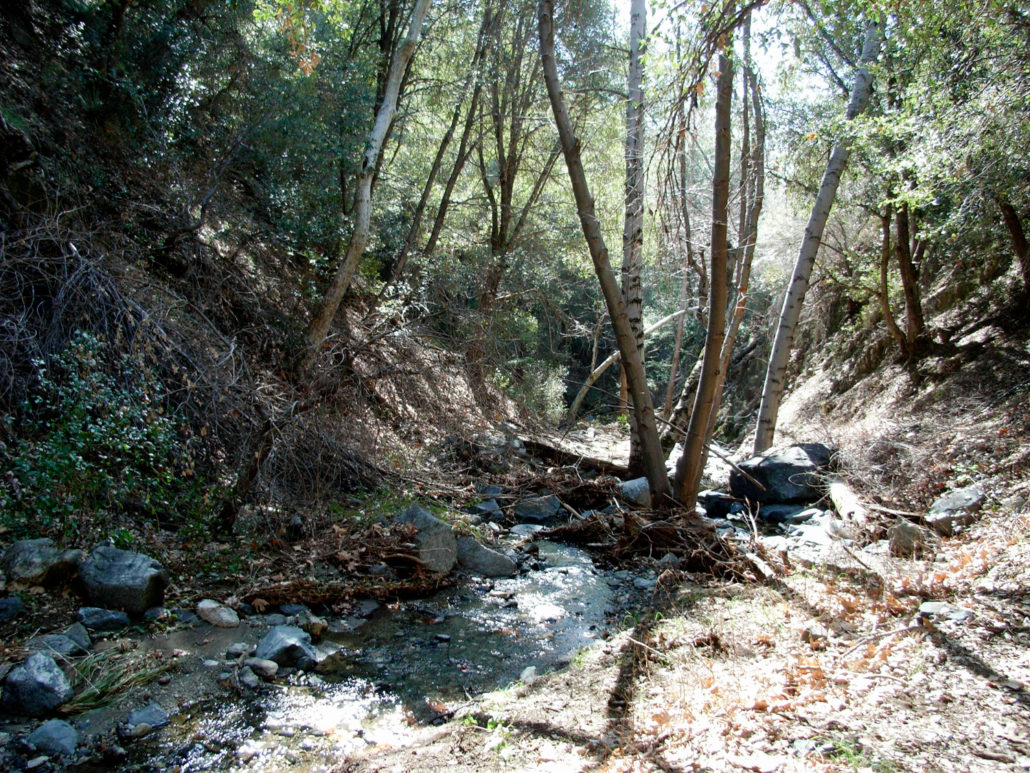
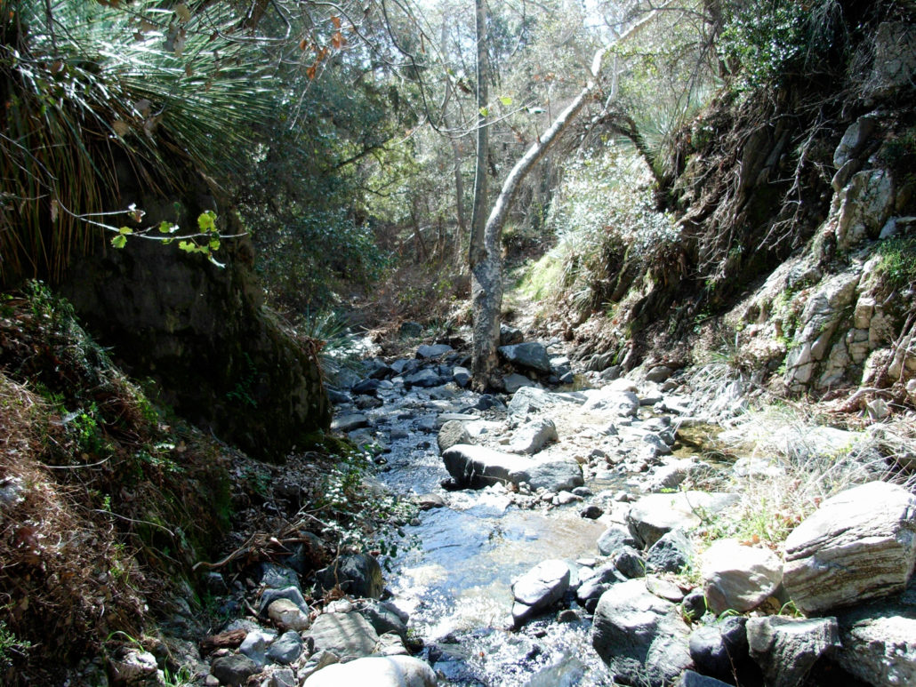
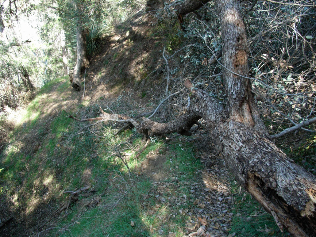
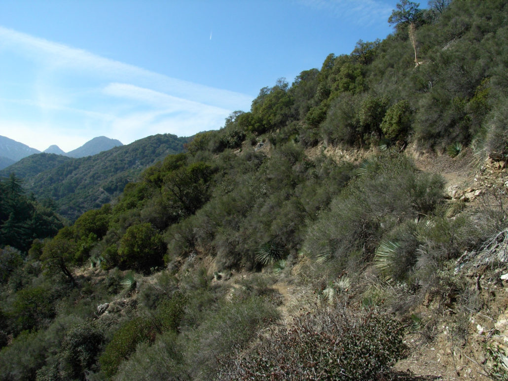
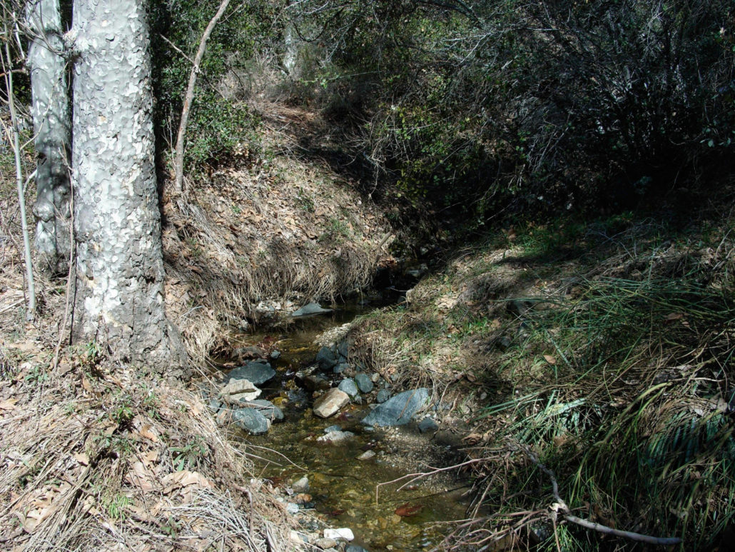
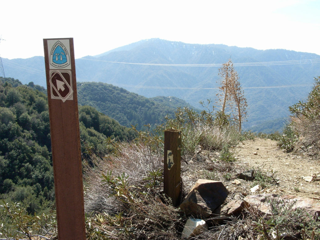
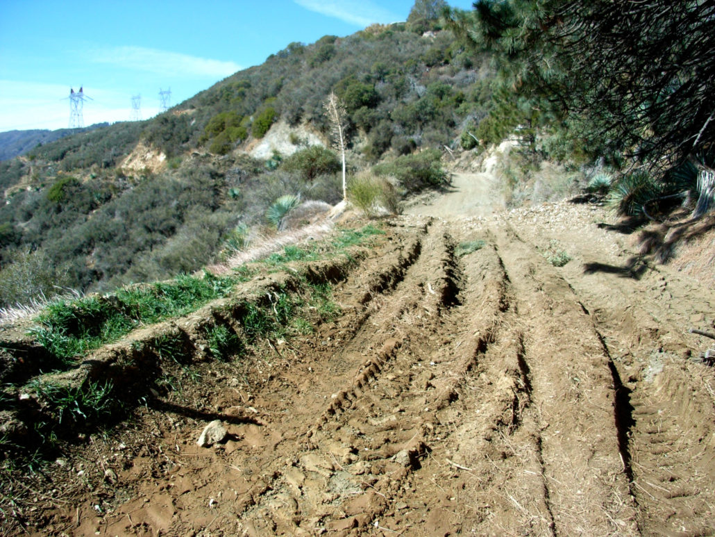
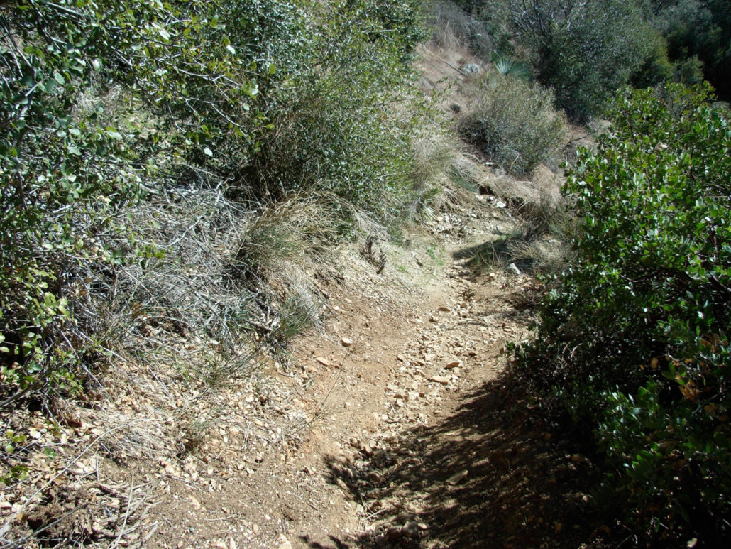
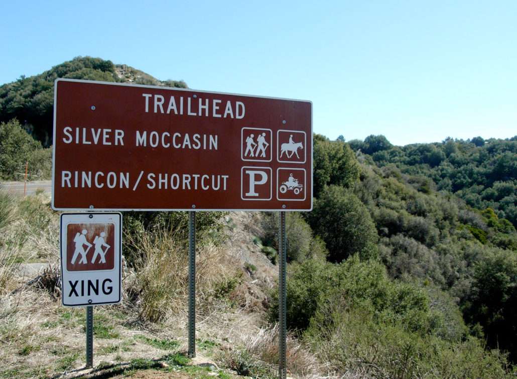
A tranquil route into a wooded canyon on the Silver Moccasin Trail. A good conditioning hike with beautiful campgrounds, streamside views for almost the entire run, and plenty of boulder-hopping and stream crossing along the way. This would be a great candidate for a first-time moderate hike – it’s easy enough for experienced beginners, but difficult enough to make you feel like you worked for it. It’s secluded enough to feel like your own corner of the forest, and fairly difficult to get lost along the way. NOTE: This area was badly burned in the 2009 Station Fire. Trail conditions may differ from the description below – be sure to read the comments to see recent trail reports! Shortcut Canyon, like the Santa Anita Canyon, was a major thoroughfare through the San Gabriels before the Angeles Crest Highway was built — back in the “Golden Age of Hiking,” when trail camps and resorts dotted the entire mountain range. Today, Shortcut Canyon is preserved as part of the Silver Moccasin Trail, which runs over 53 miles from Chantry Flats to Vincent Gap in Wrightwood. This route takes you from a very accessible trailhead from the Angeles Crest Highway, deep into Shortcut Canyon and into West Fork Camp. It’s pretty tough to miss the parking area from the road. (As of February, 2015, some hikers have reported the trailhead sign is still missing or in bad shape. For accurate location of the trailhead, use our Google Maps directions). The Silver Moccasin Trail into Shortcut Canyon starts off with a few quick, steep switchbacks as it makes its way to a tore-up fire road just below the paved Highway. There are signs to the trail, but they can be tough to see, so when you get to the road, take a right and hike toward the west, over the deep ruts. The road is not very picturesque, but you won’t be on it for too long. After a very short distance, the trail leaves the south side of the road and descends toward the canyon floor. This opening section of trail is similar to other trails in the front range — namely, dusty, lined with
Trail Stats
11.6 km
472 m
1454 m
957 m
—
Photos
Trail photo
No caption provided.
Trail photo
No caption provided.
Trail photo
No caption provided.
Trail photo
No caption provided.
Trail photo
No caption provided.
Trail photo
No caption provided.
Trail photo
No caption provided.
Trail photo
No caption provided.
Trail photo
No caption provided.

Trail photo
No caption provided.
Trail photo
No caption provided.
Trail photo
No caption provided.
Trail photo
No caption provided.
Trail photo
No caption provided.
Trail photo
No caption provided.
Trail photo
No caption provided.
Trail photo
No caption provided.
Trail photo
No caption provided.
Trail photo
No caption provided.
Trail photo
No caption provided.