3 min
Overview
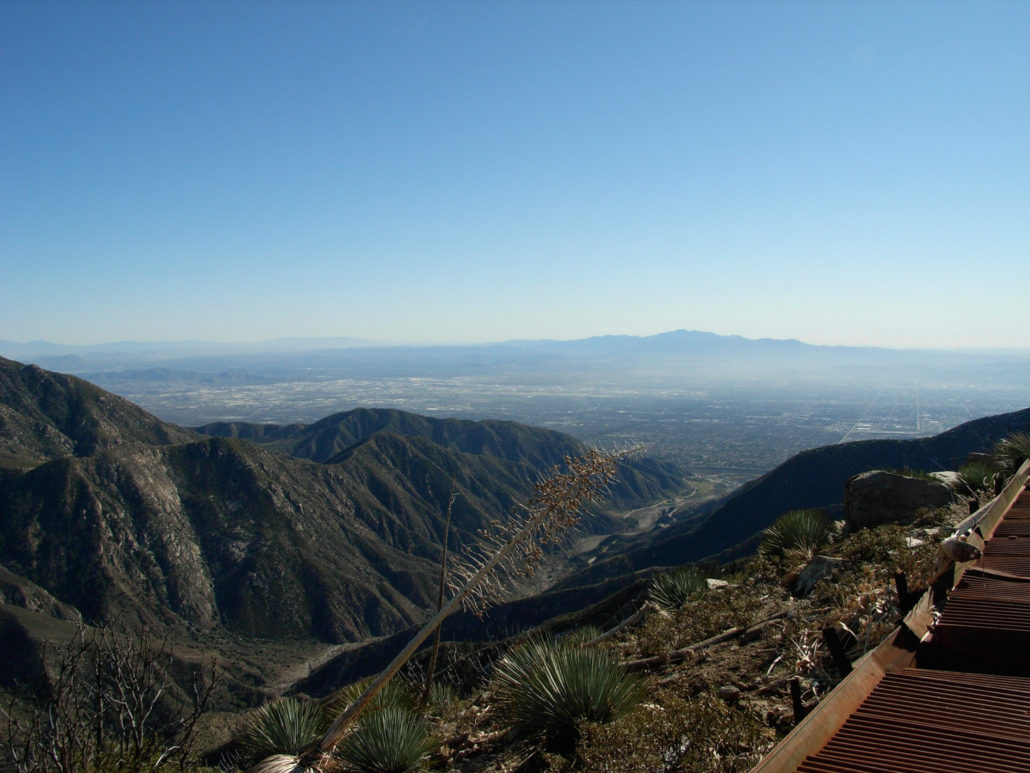
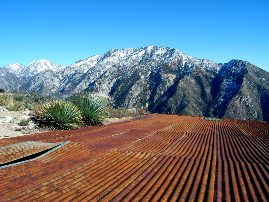
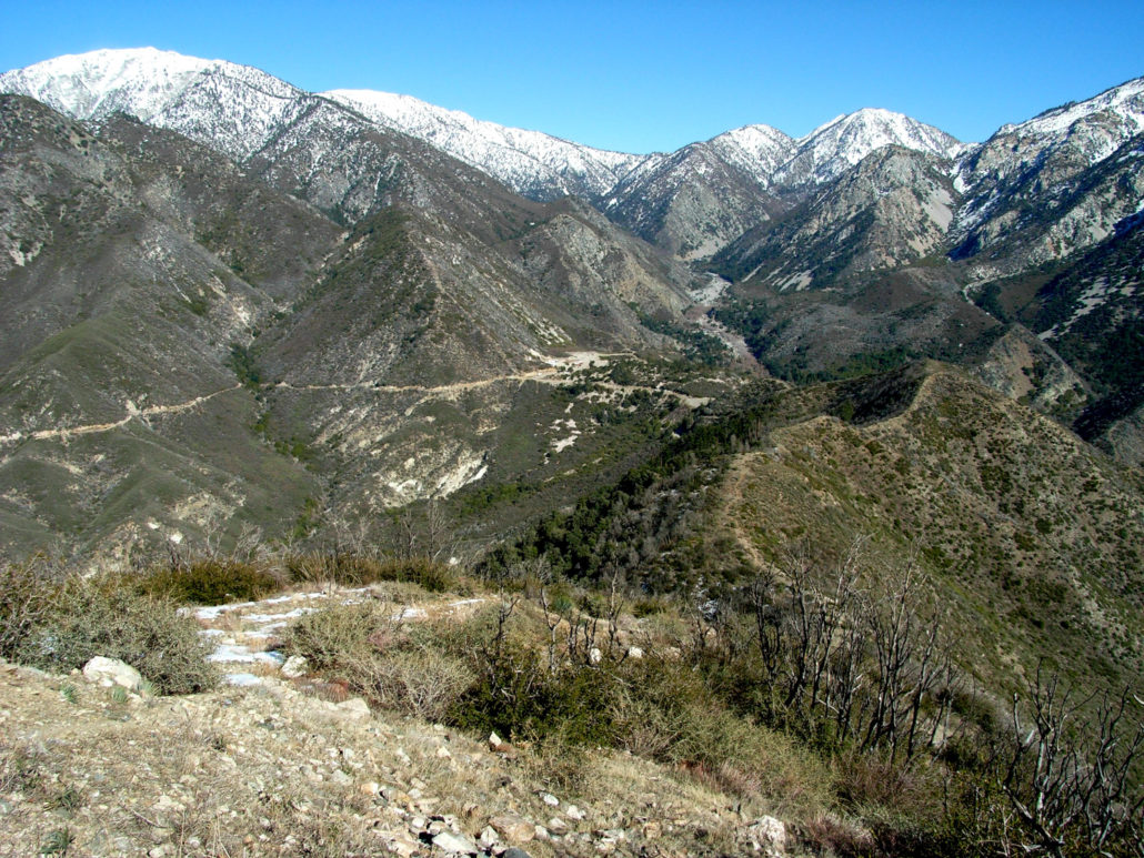
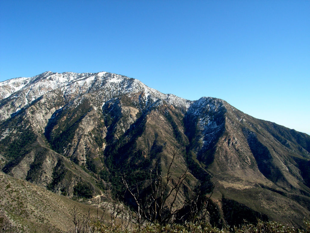
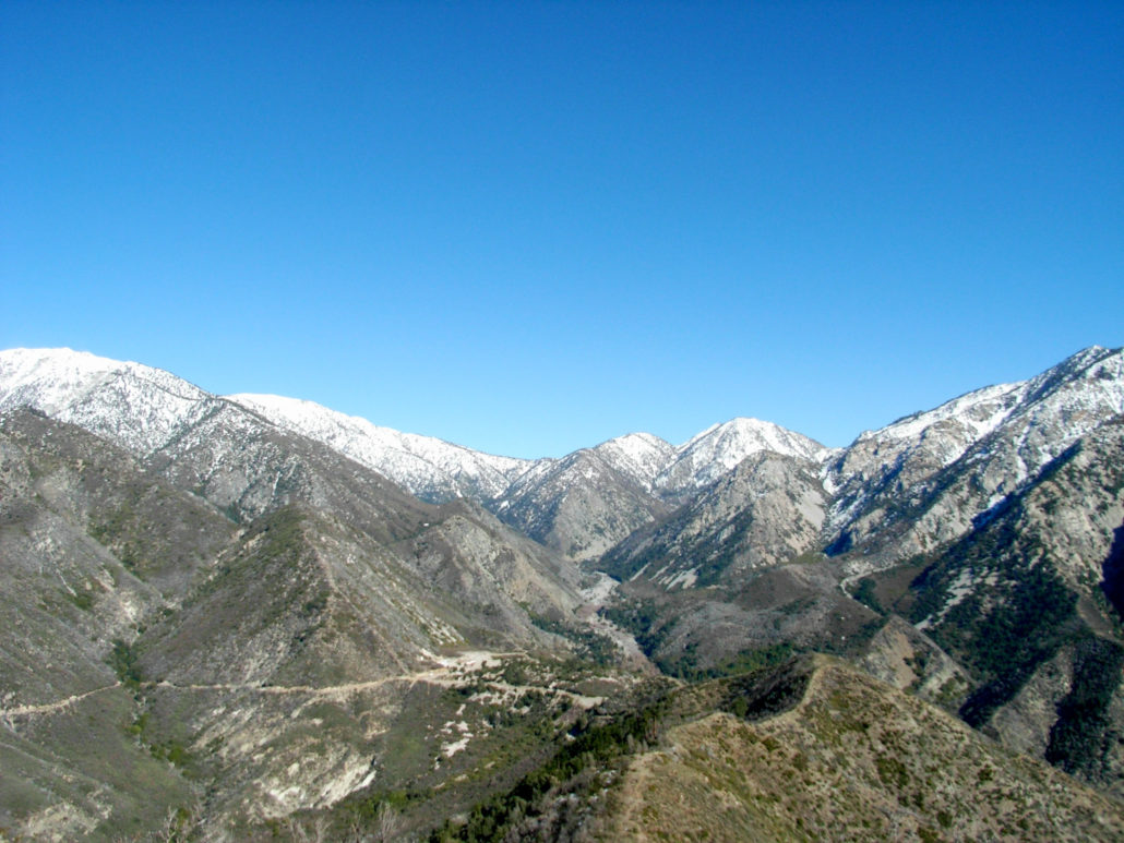
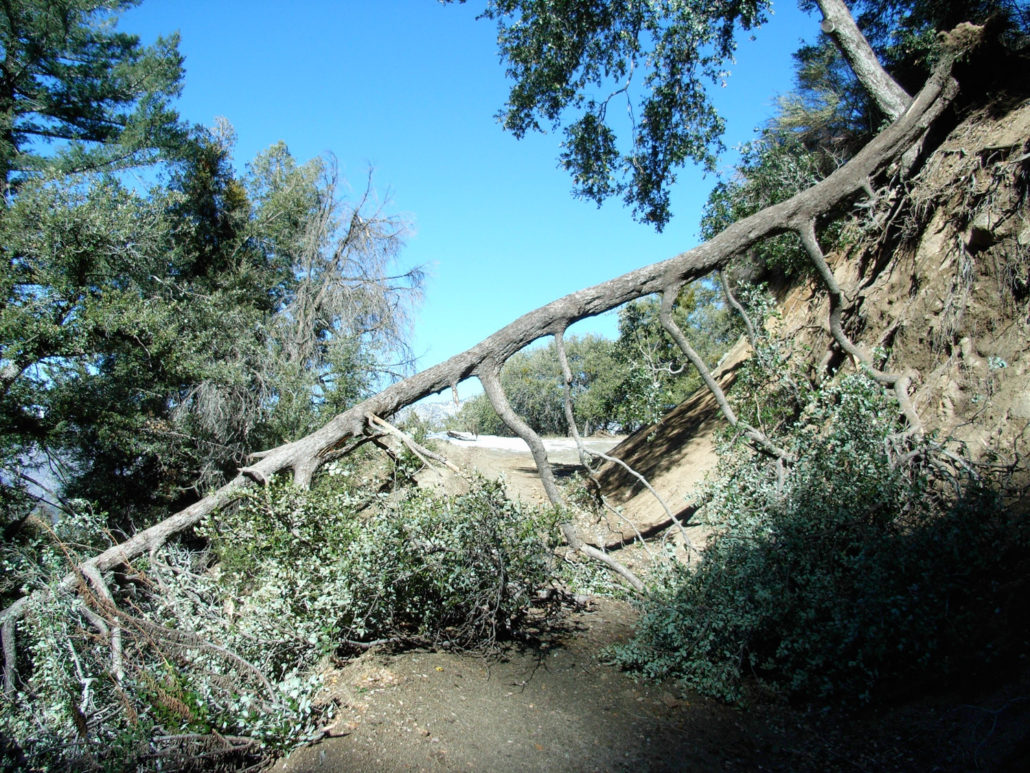
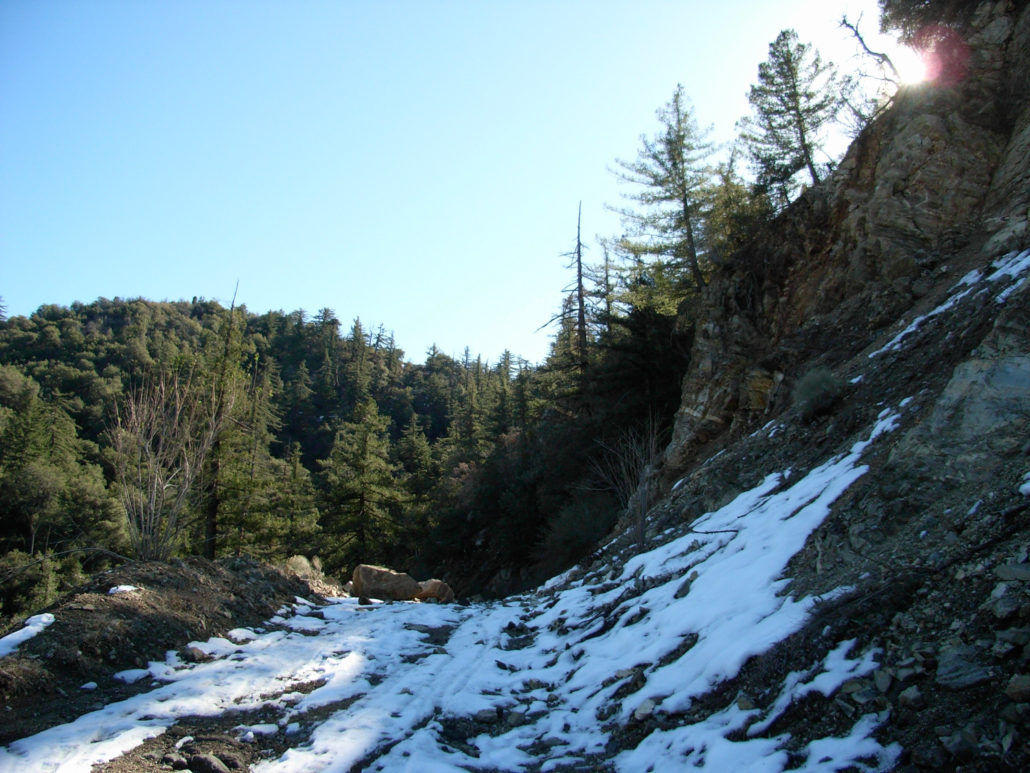
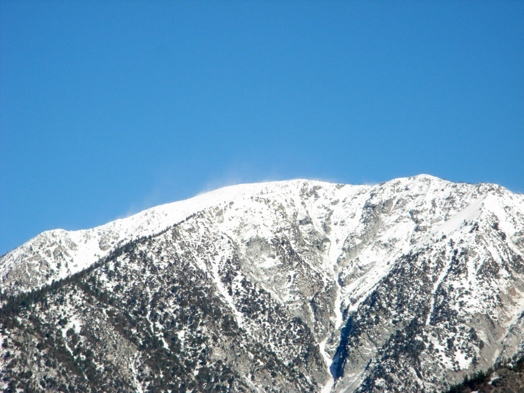
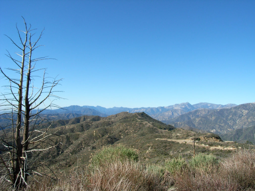
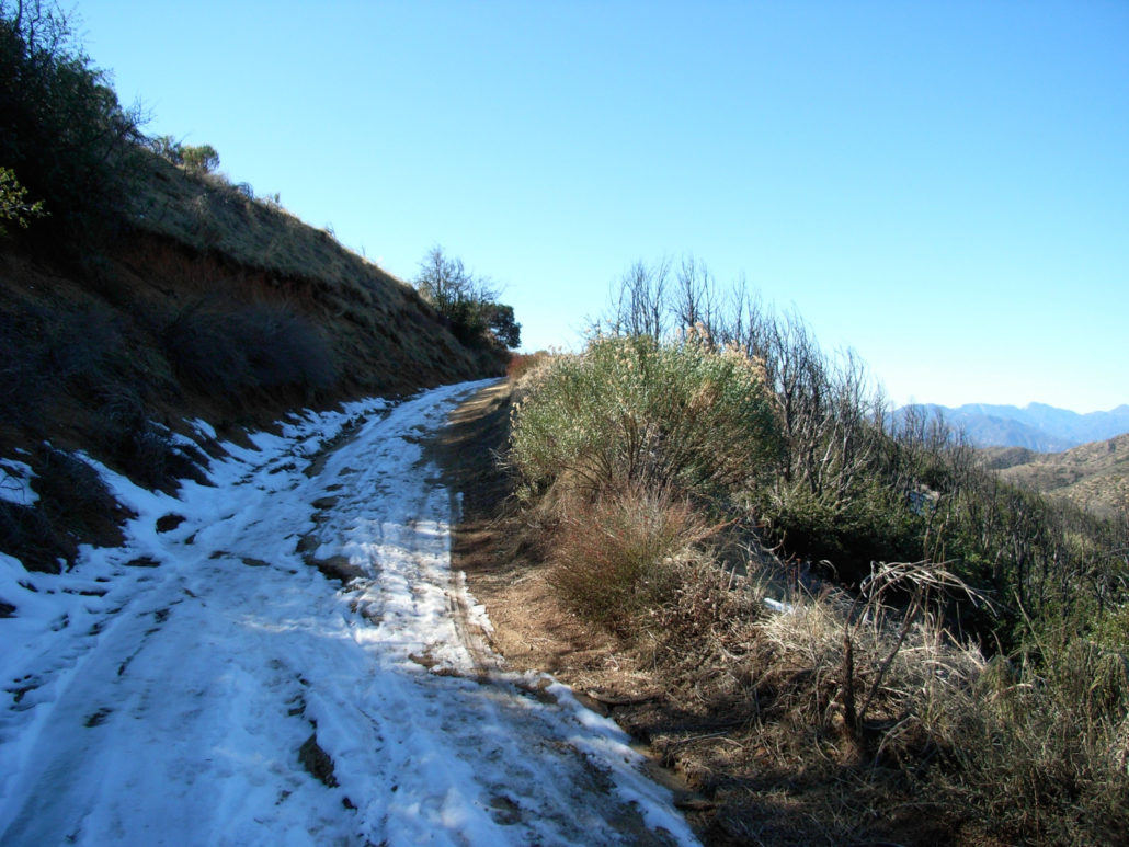
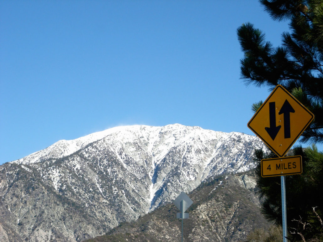
The hike to Sunset Peak is a winding fire-road hike to one of the front peaks near the Mt. Baldy Area. This is the longer but less strenuous of two routes and offers outstanding, panoramic views of the Baldy Bowl and – on clear days – the seemingly never-ending sprawl of the foothill cities. On the peak’s summit are the remains of an old fire tower that burned down years ago. The Baldy Bowl may be my favorite hiking area in the entire San Gabriel Mountains. Sure, there’s the prominent namesake peak, but there are also the impressive “Three Tees” – Timber, Thunder, and Telegraph, the twin sentinels of Cucamonga and Ontario, and many more miles of wilderness trails on the north side of the mountains. For this trip, I set my sights on the least tall of the Baldy Bowl Peaks — Sunset Peak. Located on the western side of San Antonio Canyon, Sunset Peak promised to offer some great views of both the mountains and the cities below, and — with the recent precipitation we’ve been blessed with — some snow-covered alpine scenery, too. From the exit off the 210, I could already see that Ontario Peak had a healthy dusting. Unfortunately, it didn’t look like I was the only one attracted to the snow that day. The closer I got to Mount Baldy Village, the more congested traffic got — not exactly the thing you look for when you’re driving that far away from Los Angeles. But instead of continuing toward the ski resorts, I turned off onto Glendora Ridge Road, passed the first trailhead at Cow Creek Saddle, and pulled off the road near a Forest Service road. The view from the trailhead was already impressive — as the Sprawl Cities lay to my south and Lookout Mountain and a large chunk of Baldy guarded the north. The trail is on this Forest Service road, which slowly and deliberately winds its way to the summit. While I was hiking up, I didn’t pass anyone but did see several hikers’ trails in the small bits of remaining snow, along with a fair share of dog and horse tracks. While the trail itself was not very interesting, the views
Trail Stats
12.8 km
427 m
1742 m
1321 m
—
Photos
Trail photo
No caption provided.
Trail photo
No caption provided.
Trail photo
No caption provided.
Trail photo
No caption provided.
Trail photo
No caption provided.
Trail photo
No caption provided.
Trail photo
No caption provided.
Trail photo
No caption provided.
Trail photo
No caption provided.
Trail photo
No caption provided.
Trail photo
No caption provided.