4 min
Overview
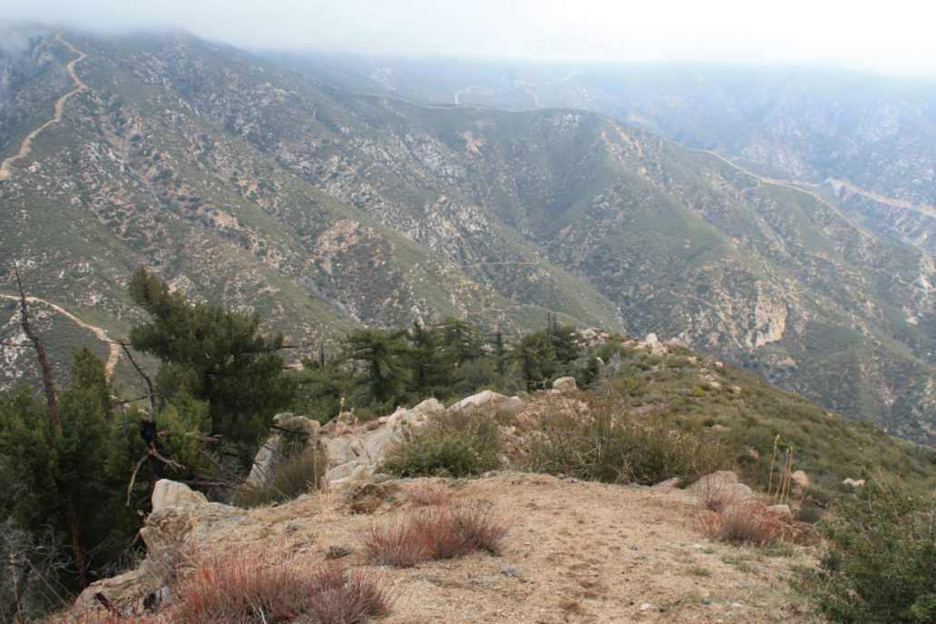
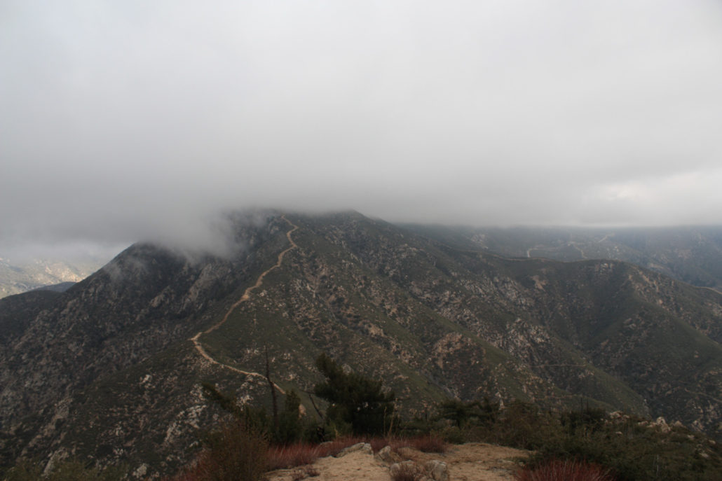
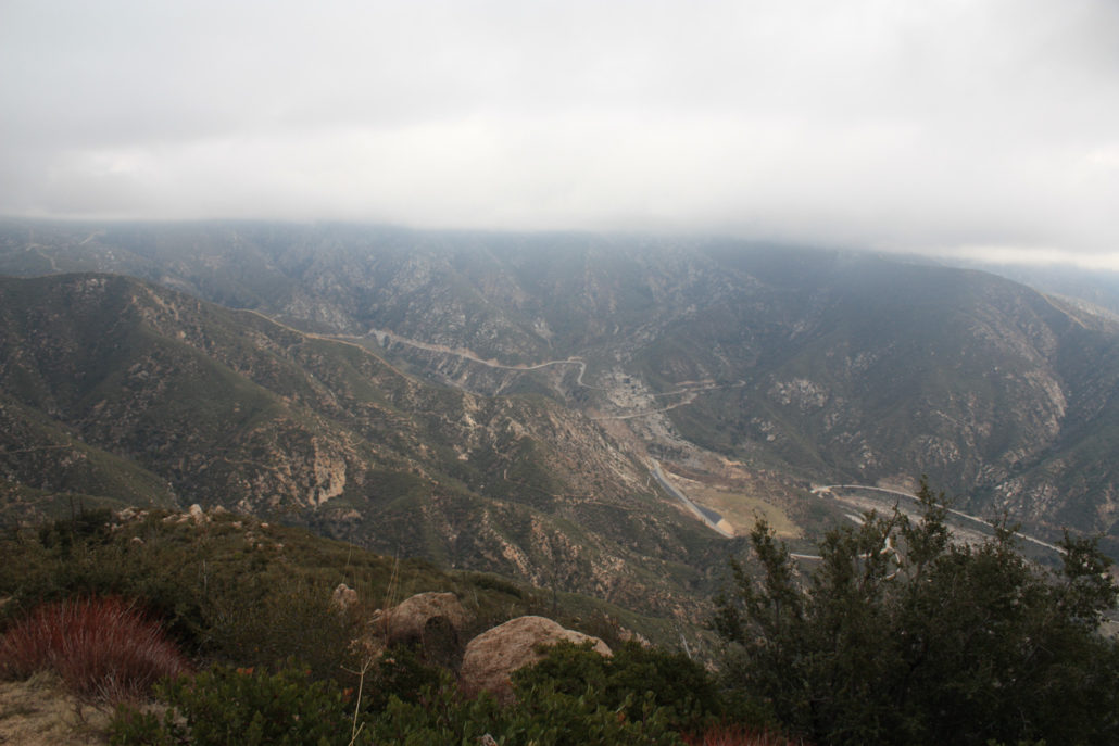
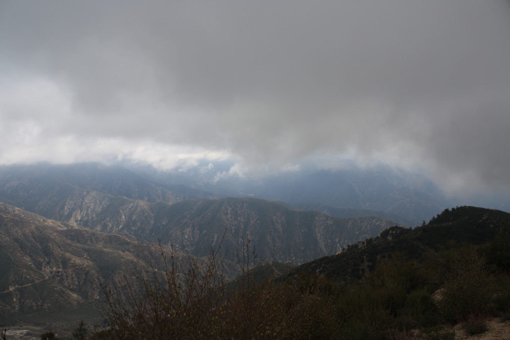
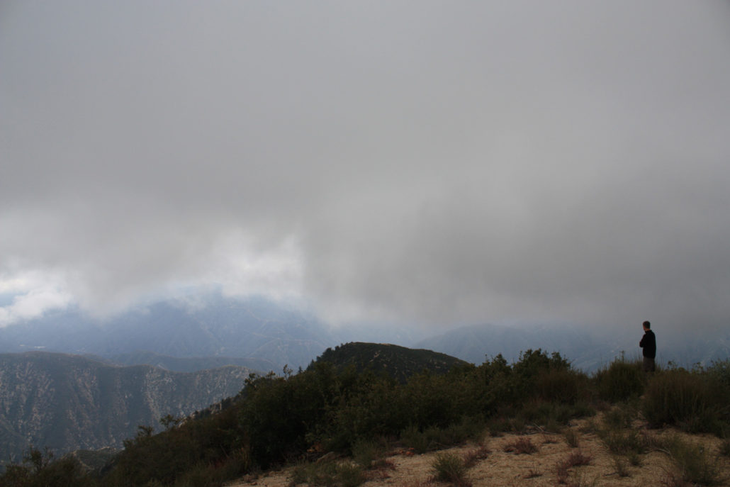
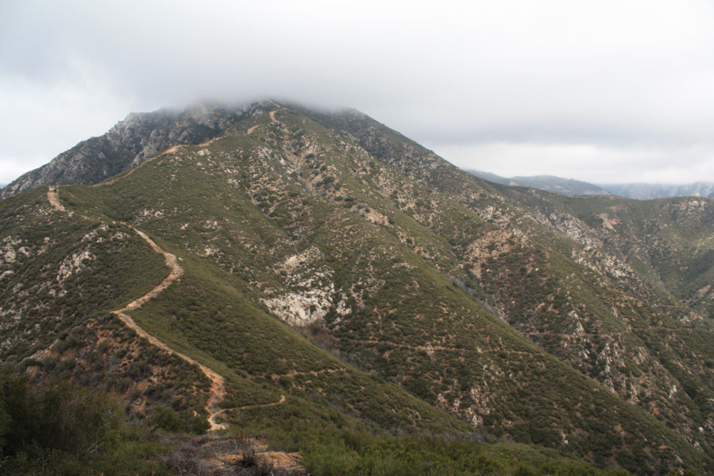
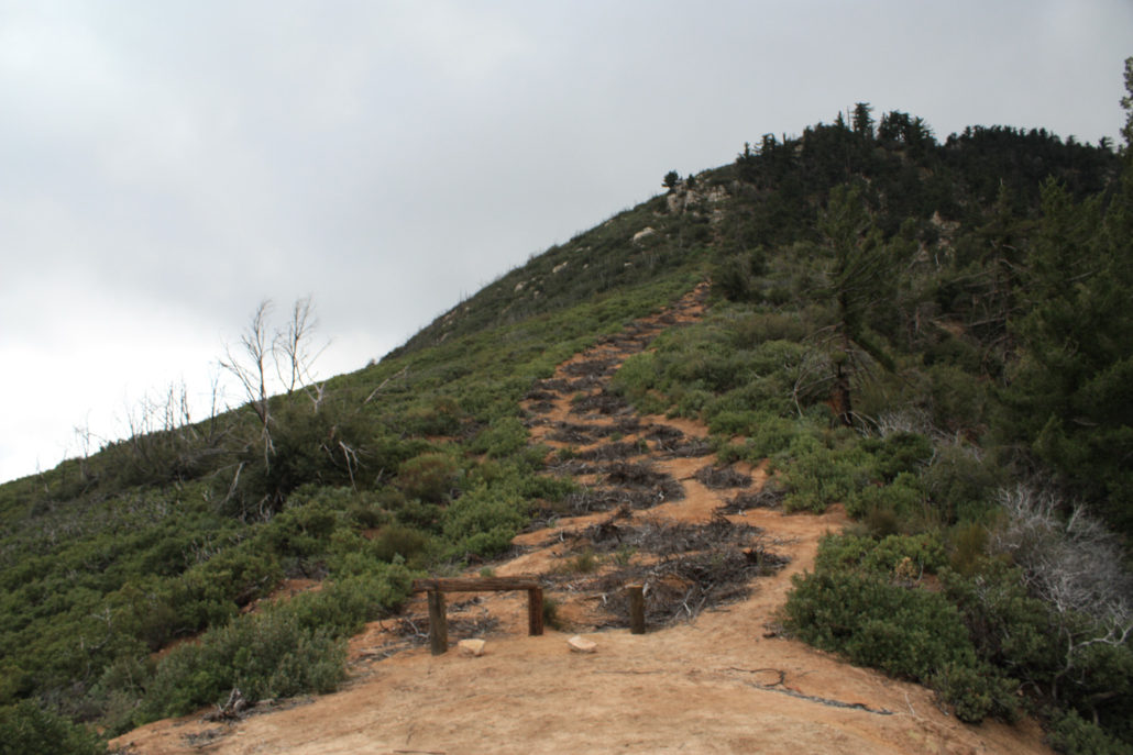
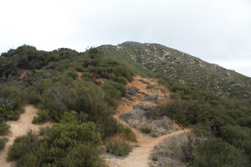
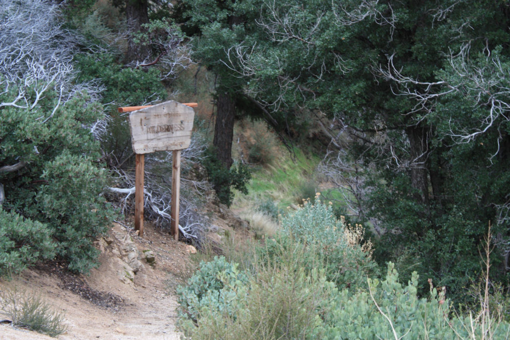
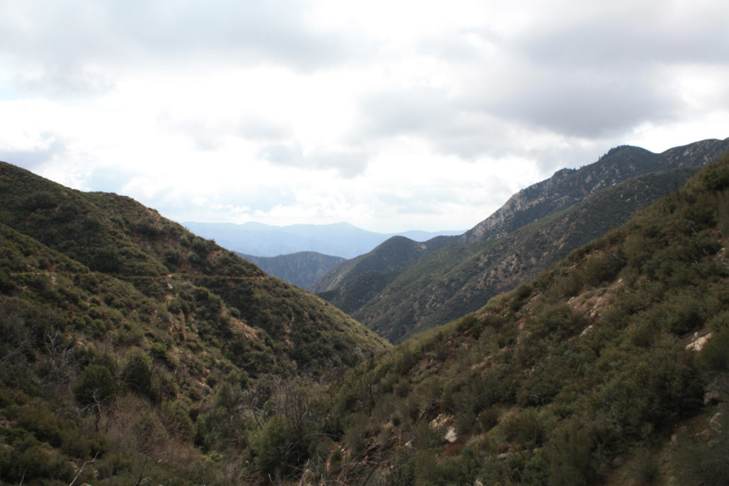
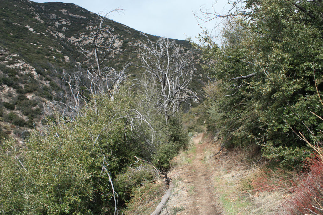
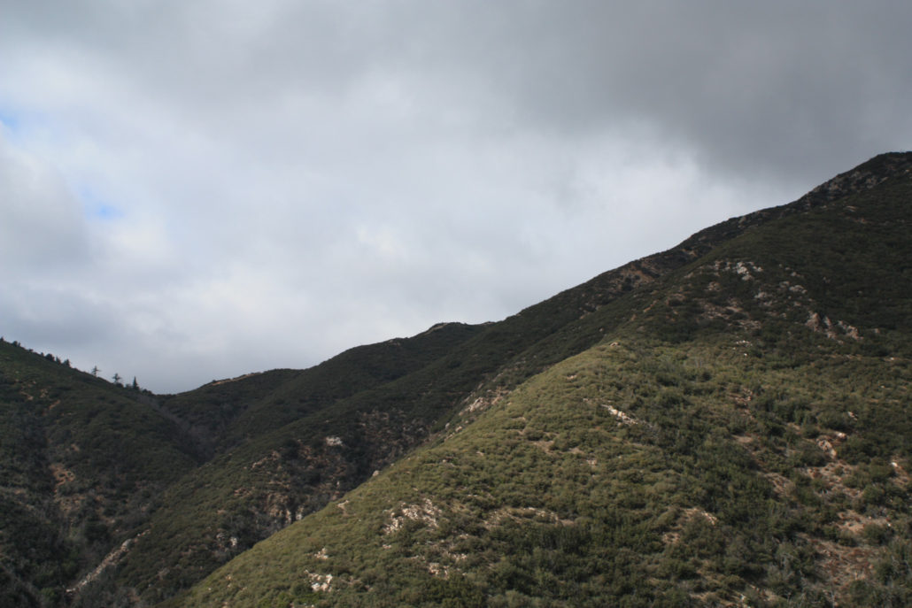
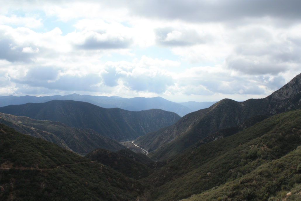
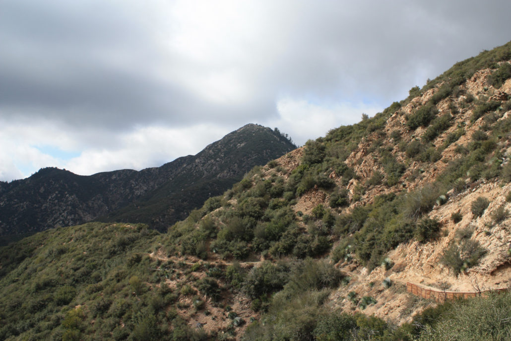
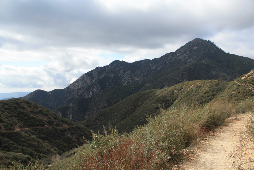
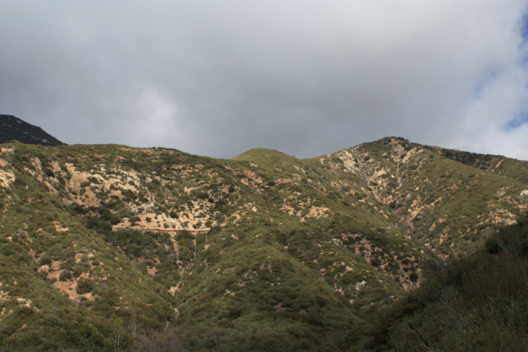
I had tried to do this trail earlier in the year but was turned back when the surprise Santa Ana Winds kept knocking my car doors shut and almost blew me off the trail … and now that I’ve done the whole thing, I’m very glad I turned around on that windy day and didn’t try to scramble to the summit – because there’s a good chance I would have been tossed off the firebreak and into the San Gabriel Wilderness. So, on a much calmer and cloudier day, I returned with the hope of actually hitting the summit. The trail begins near a very large parking area just before Coldbrook Camp. It’s tough to miss – there’s a large gate just north of the lot and an outhouse on the western side of the road. The trailhead is just to the north of this outhouse. The trail begins by working its way back south alongside the road you just drove in on – but it gains in elevation fairly quickly. In fact, you’ll gain almost 600 feet in this first mile – never during any truly steep sections, but because the rest of the trail is more easily graded you might get a little winded near the trailhead. Thankfully you’ll have some nice views of the surrounding mountains to take your mind off of the incline. This is a trail that doubles back on itself a bit, so you’re going to end up looking at a lot of the same canyons and ridges … as well as the trail itself. Just before the you hit the mile marker, you’ll get a good chance to look southwest toward Smith Saddle. The incline of the peak (seen here on the left) doesn’t look that bad from here, but the closer you get, the steeper it appears. It’s another two miles to Smith Saddle, and other than a few seasonal creek crossings the trail itself is fairly consistent. You’ll only gain a little over 400 feet during this shadeless stretch, but as you venture further away from the 39, the feeling of remoteness grows. Just make sure you save some energy, ’cause the really tough part is just around a few more bends. At the 2.9 mile mark, you’ll reach Smith Saddle. A long firebreak extends to the north and the
Trail Stats
11.1 km
561 m
1558 m
996 m
—
Photos
Trail photo
No caption provided.
Trail photo
No caption provided.
Trail photo
No caption provided.
Trail photo
No caption provided.
Trail photo
No caption provided.
Trail photo
No caption provided.
Trail photo
No caption provided.
Trail photo
No caption provided.
Trail photo
No caption provided.
Trail photo
No caption provided.
Trail photo
No caption provided.
Trail photo
No caption provided.
Trail photo
No caption provided.
Trail photo
No caption provided.
Trail photo
No caption provided.
Trail photo
No caption provided.
Trail photo
No caption provided.
Trail photo
No caption provided.
Trail photo
No caption provided.
Trail photo
No caption provided.
Trail photo
No caption provided.

Trail photo
No caption provided.