3 min
Overview
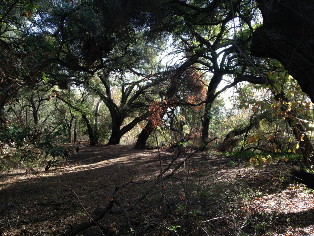
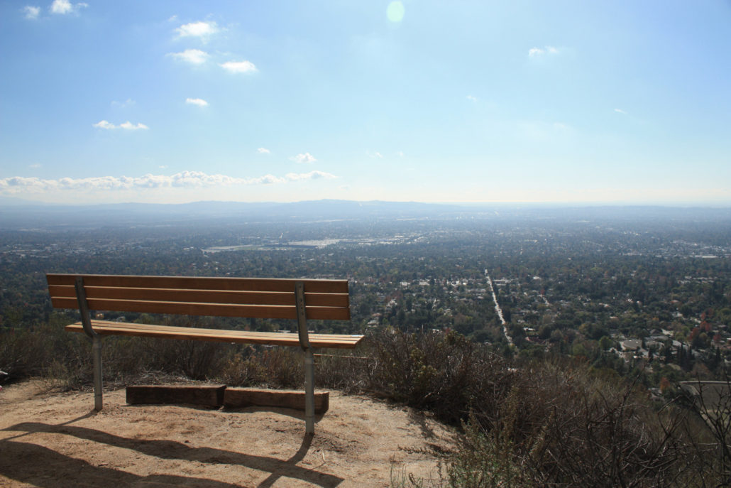
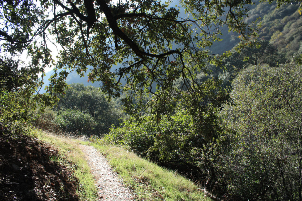
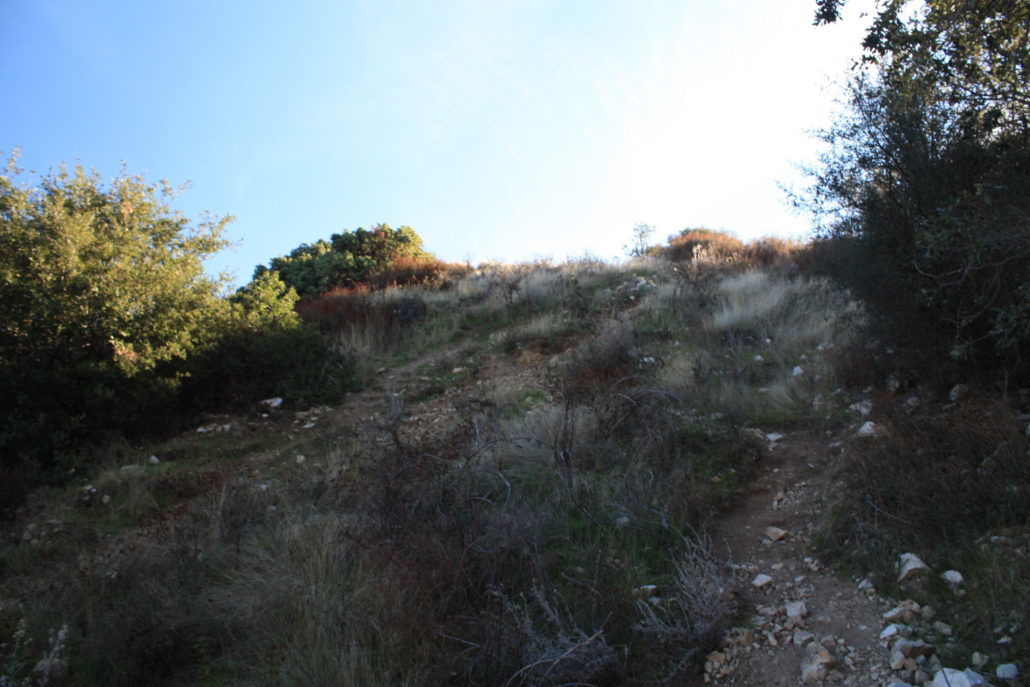
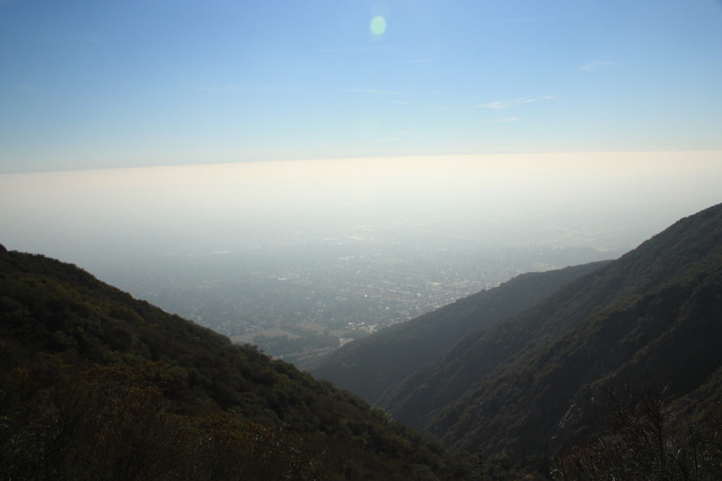
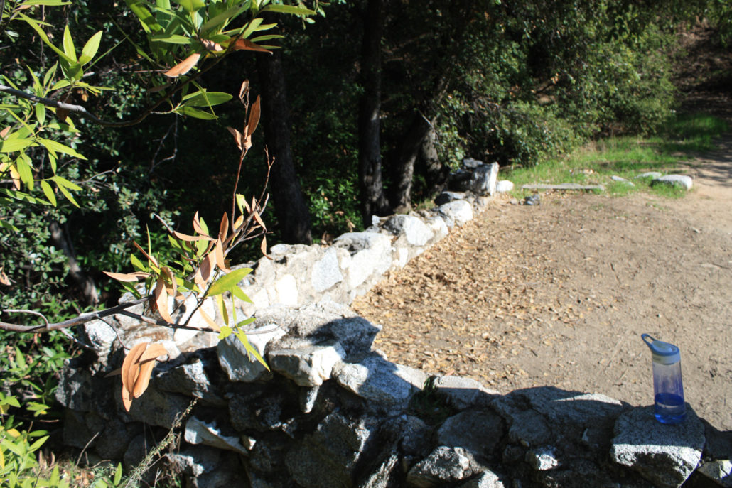
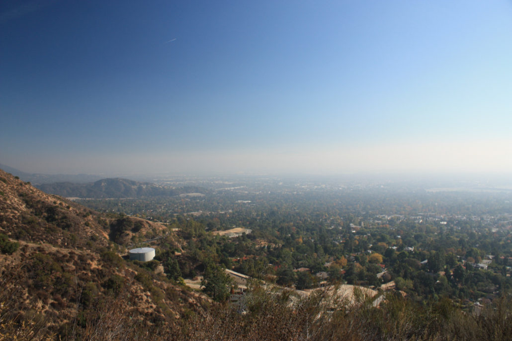
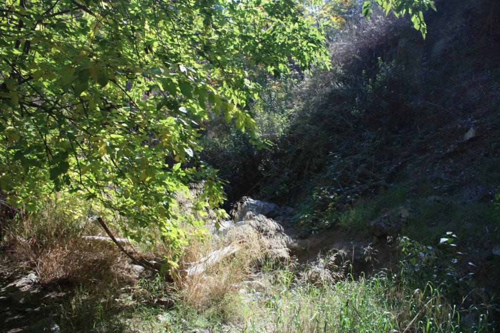
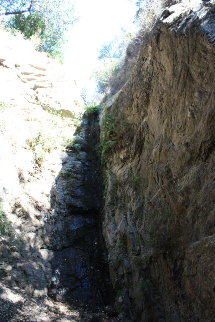
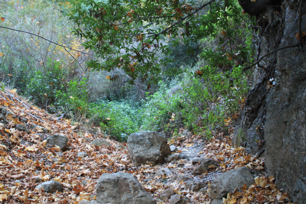
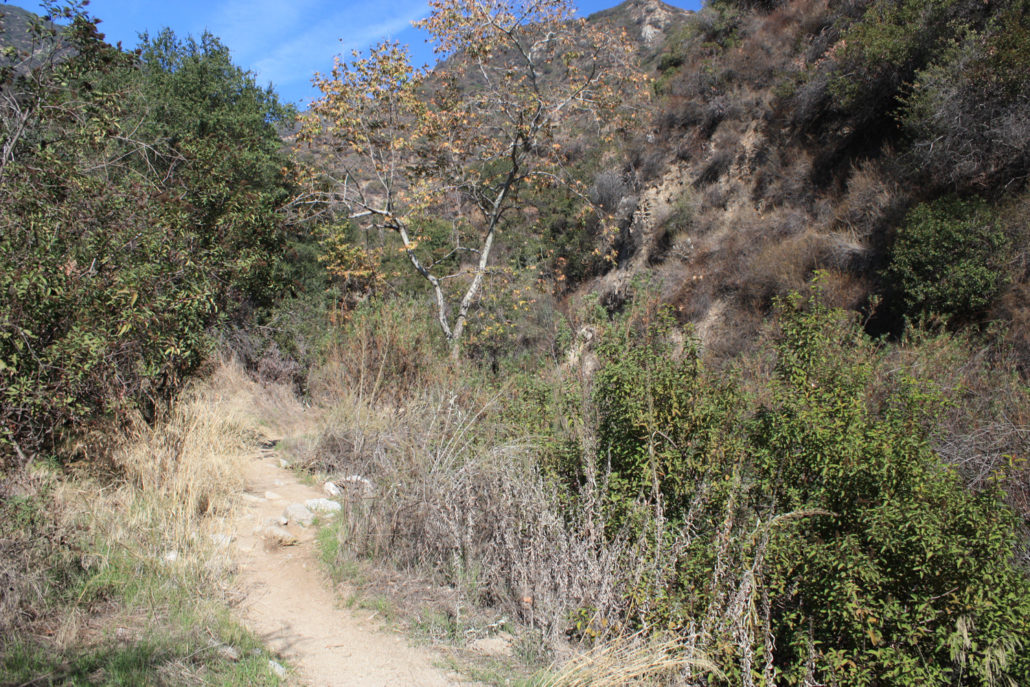
Sierra Madre was the first town in Southern California to establish its own wilderness preserve – and it’s still in great shape. Just past the picturesque downtown area of the small city is the entrance to Bailey Canyon Park – a beautiful city park nestled right up against the base of the San Gabriel Mountains. Near the parking area are several picnic areas and a memorial to local hikers – and when I arrived on a sunny, warm morning the small park was bustling with activity from local youth and church groups – but I was focused more on the amazing yellow foliage of this tree: If you can escape the allure of barbecued foods, head to the west end of the parking area and keep your eye out for this sign: Follow the footpath west through a few more picnic areas. Pass through a turnstile and turn right onto the paved road as it swings around the western side of the large debris dam just north of the park. Don’t worry – the pavement soon ends and you’ll be in the woods on the bank of the canyon. These early stretches of trail are very pleasant – the path narrows and becomes surrounded by traditional SoCal scrub vegetation, a beautiful grove of Live Oaks lies just across a short bridge to the east of the trail, and a small collection of cacti line the trail on its western edge. You’ll note a bridge crossing the creekbed toward a section of the canyon that’s a bit more forested. This will lead you to a short but very pleasant nature trail through a grove of native oaks. Feel free to add this on to your trip or make a quick visit on your way back out to the trailhead – if not, continue heading north into the canyon. After half a mile, you’ll come to a 3-way junction on the trail. If you just want to head to Jones Peak, stay to the right and start the ascent – otherwise, take a short detour on the left and hike on the Canyon View Nature Trail toward the waterfall. Bailey Canyon narrows remarkably quickly – and although you’re probably only a few minutes’ time away from the parking lot, soon you’ll feel like you’re deep in
Trail Stats
10.4 km
682 m
1024 m
338 m
—
Photos
Trail photo
No caption provided.
Trail photo
No caption provided.
Trail photo
No caption provided.
Trail photo
No caption provided.

a hiker stands atop jones peak with the sky behind them
a hiker stands atop jones peak with the sky behind them
Trail photo
No caption provided.
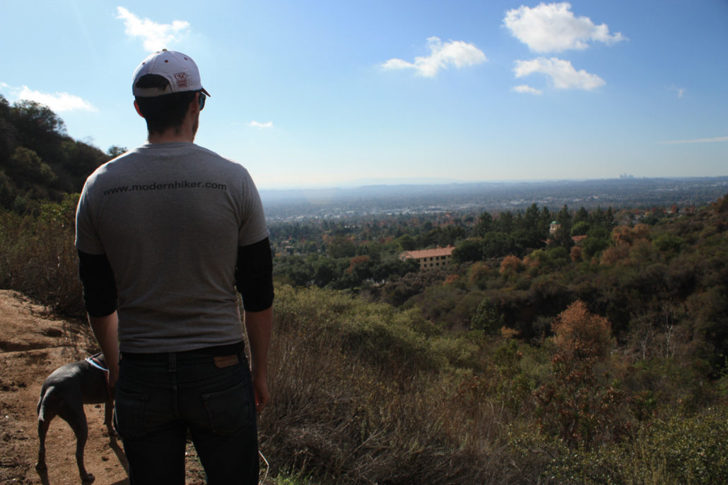
a hiker looks out at the landscape from Jones Peak
a hiker looks out at the landscape from Jones Peak
Trail photo
No caption provided.
Trail photo
No caption provided.
Trail photo
No caption provided.
Trail photo
No caption provided.
Trail photo
No caption provided.
Trail photo
No caption provided.
Trail photo
No caption provided.
Trail photo
No caption provided.
Trail photo
No caption provided.
Trail photo
No caption provided.
Trail photo
No caption provided.
Trail photo
No caption provided.
Trail photo
No caption provided.
Trail photo
No caption provided.
Trail photo
No caption provided.
Trail photo
No caption provided.
Trail photo
No caption provided.
Trail photo
No caption provided.
Trail photo
No caption provided.