4 min
Overview
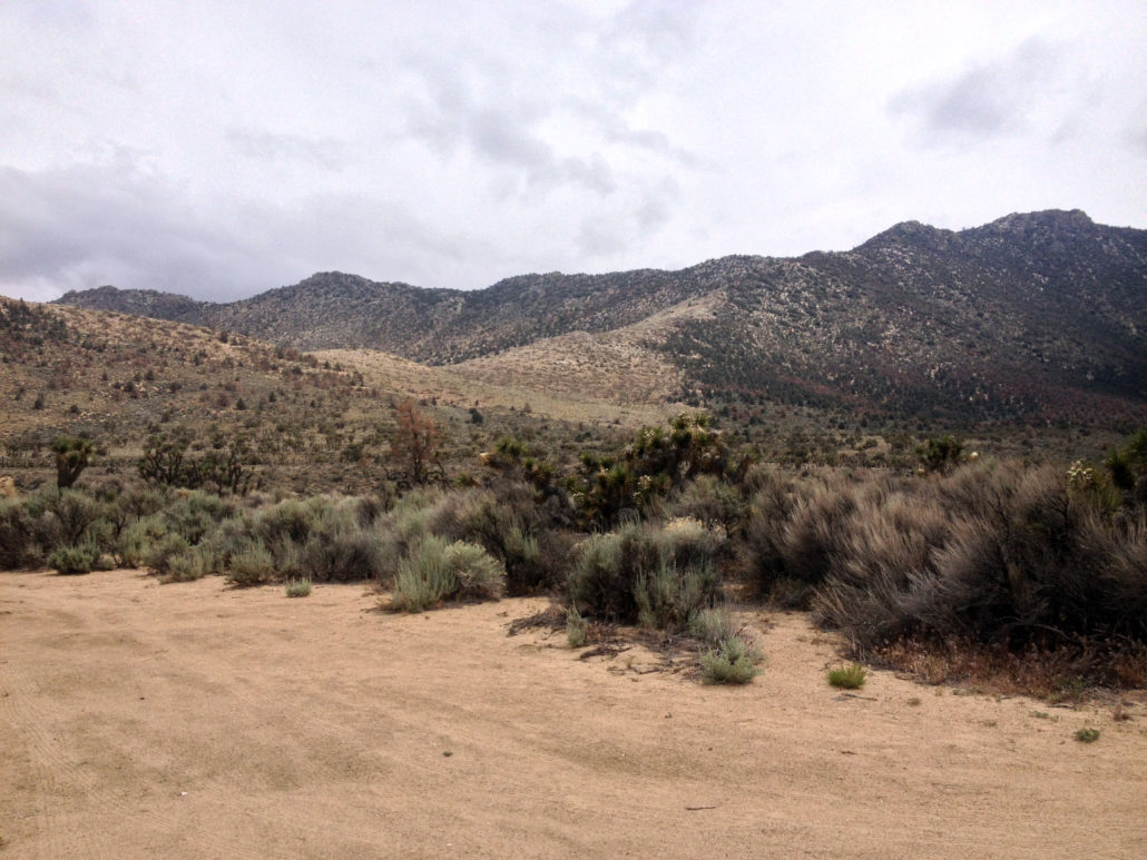
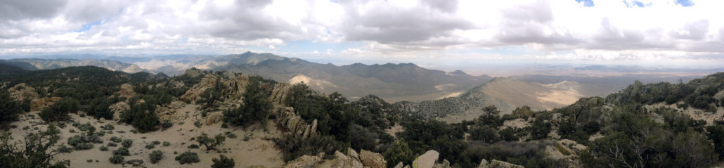
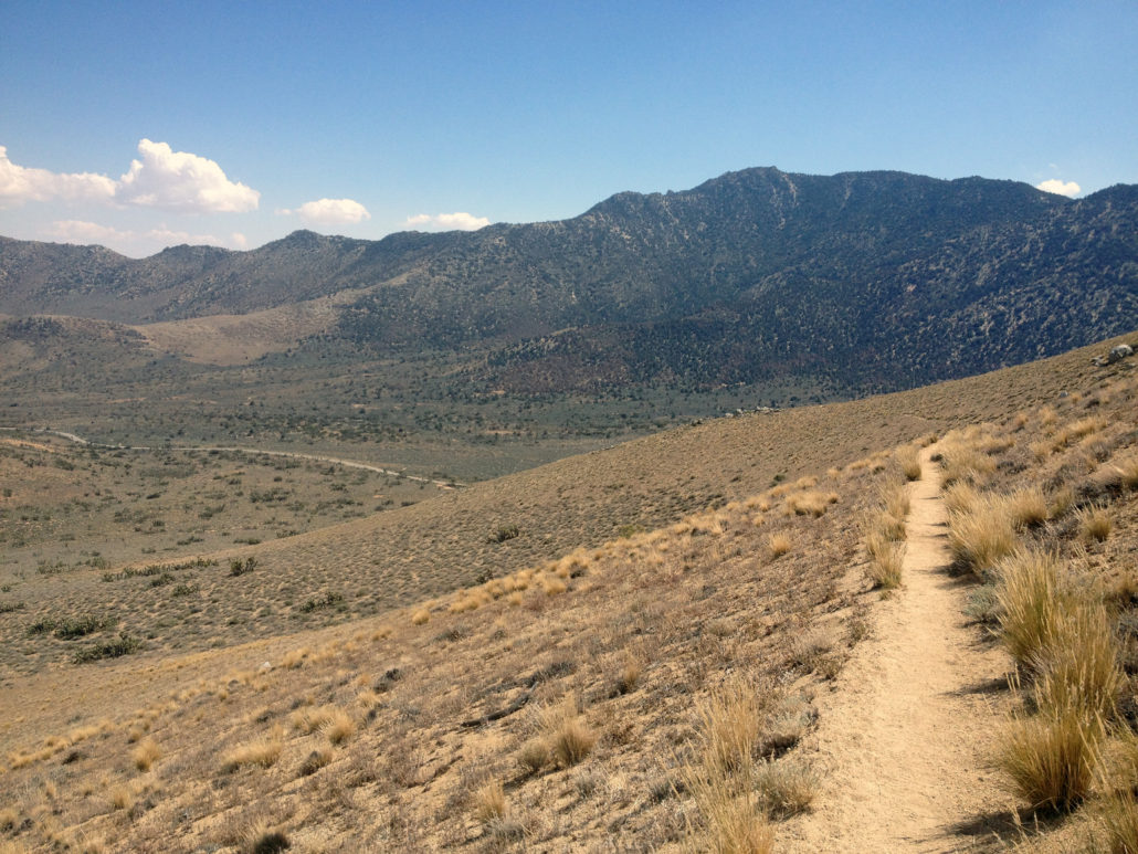
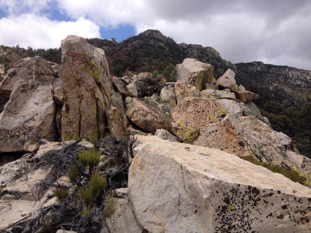
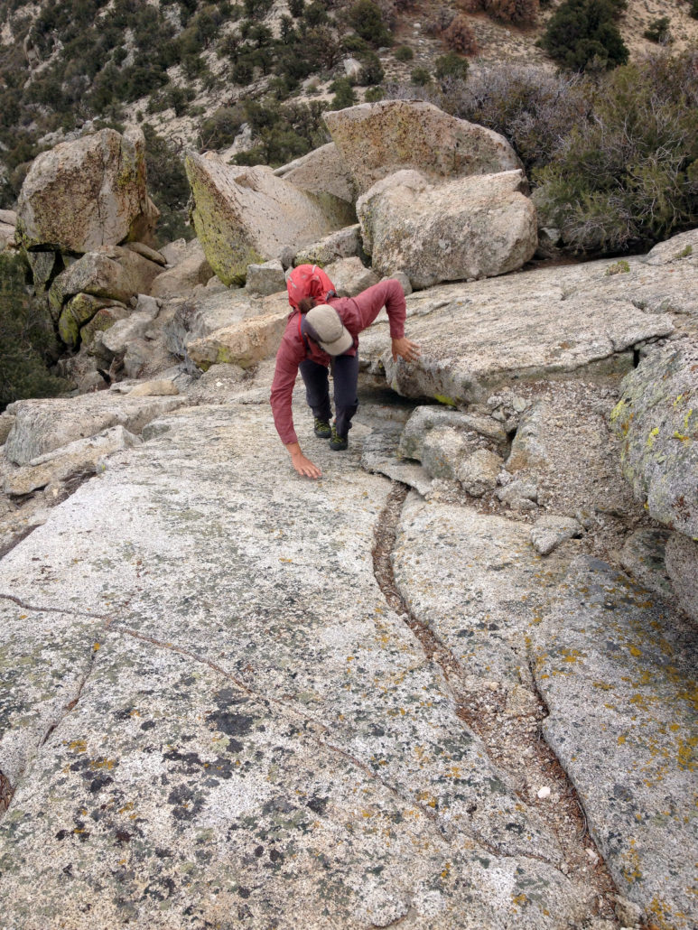
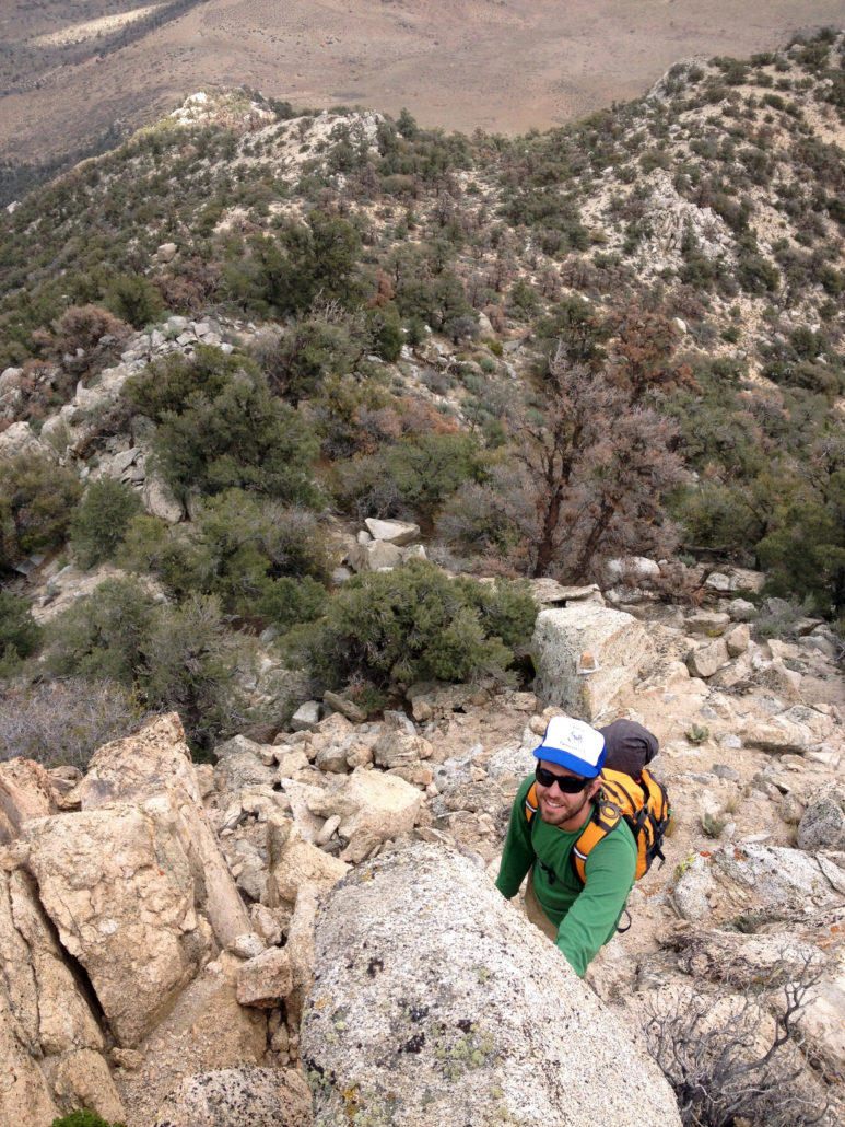
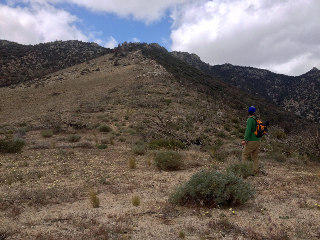
Scodie Mountain is the highest peak in the Scodie Mountain subrange of the southern Sierra Nevada mountains. While this peak doesn’t qualify as a classic, the solitude and views easily make it a worthwhile objective if you are looking for a half-day adventure. There are no established trails to the top so whichever route you choose will involve off-trail travel, often times on loose sand or scree. The northeast ridge is the route described here, but other options include Cow Heaven via the south side or from the Pacific Crest Trail to the northwest. Note: This map renders additional distance on this route for some reason. The GPX is accurate at 6.9 miles roundtrip. The northeast ridge has required sections of 3rd class scrambles with brief exposure, however the biggest difficulty is route finding through occasional sections of dense pinyon pine. Don’t let these challenges sway you from doing this hike. This peak provides a somewhat rare opportunity to reach a prominent summit with views up the Owens Valley without the crowds found on nearby trails. In fact, you will probably have the mountain to yourself. According to the summit register, there are only around four summit parties each month! For the northeast ridge, park along Highway 178 at a large dirt parking lot found on the southern side of the road, 6.8 miles from Highway 395. The GPS tracks begin a little farther to the north since I didn’t notice this parking lot until partway up the climb. You will be traveling through the Kiavah Wilderness (established under the Desert Protection Act of 1994) in Sequoia National Forest. Begin by following an old dirt road 0.6 miles to the south. The road will take a sharp turn to the left and drop into a wash — this is your landmark to leave the road and begin a direct off-trail ascent to a low saddle of the northeast ridge, directly to your south. This trail climbs through a seemingly out-of-place mix of Joshua trees and pinyon pine. The lower elevations of the route are dotted with burnt up Joshua trees. A good way
Trail Stats
6.5 km
761 m
2207 m
1462 m
—
Photos
Trail photo
No caption provided.
Trail photo
No caption provided.
Trail photo
No caption provided.
Trail photo
No caption provided.
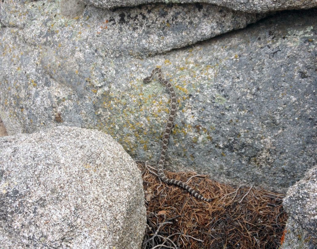
Trail photo
No caption provided.
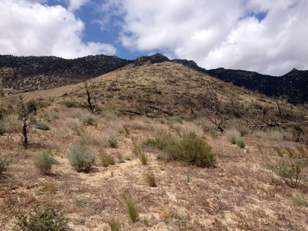
Trail photo
No caption provided.
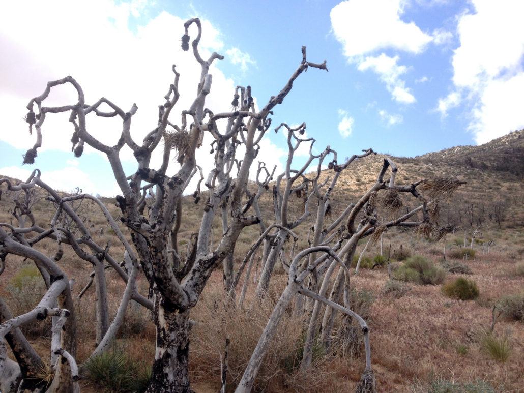
Trail photo
No caption provided.
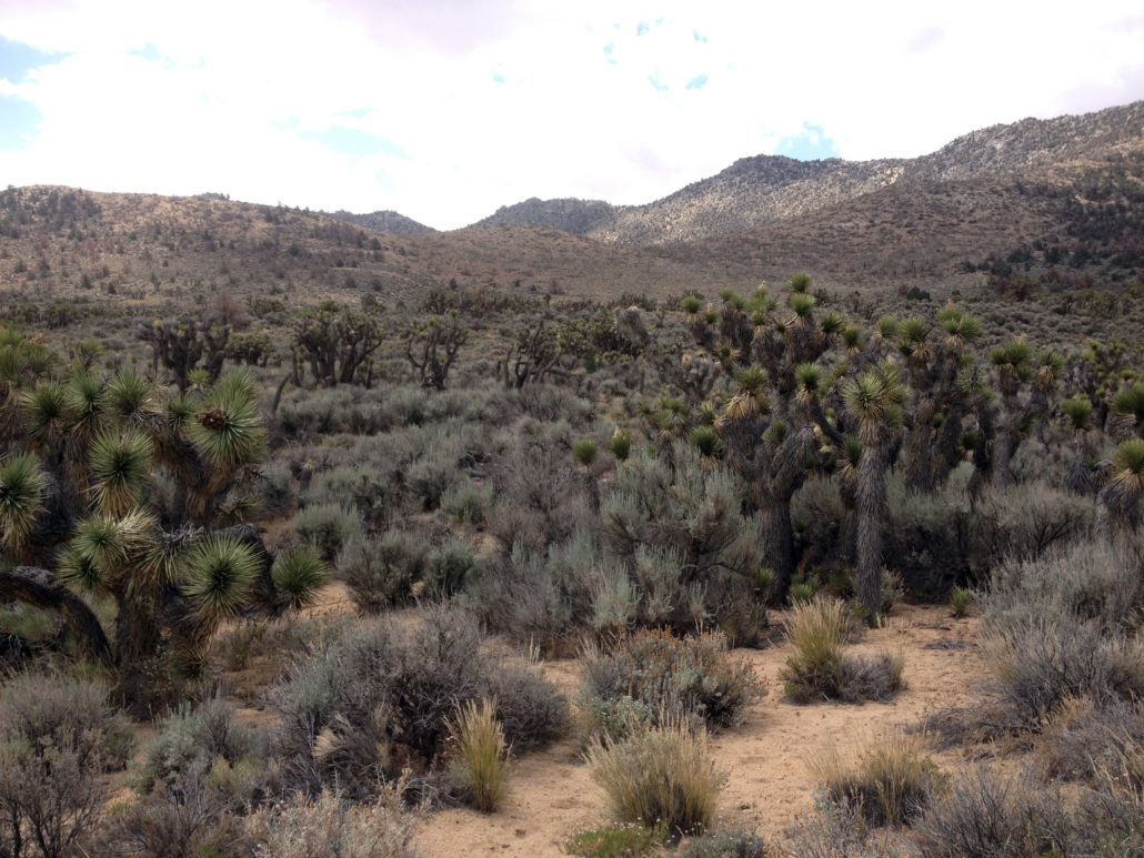
Trail photo
No caption provided.
Trail photo
No caption provided.
Trail photo
No caption provided.
Trail photo
No caption provided.