3 min
Overview
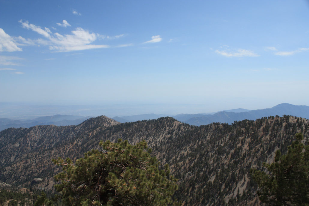
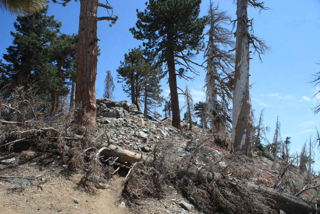
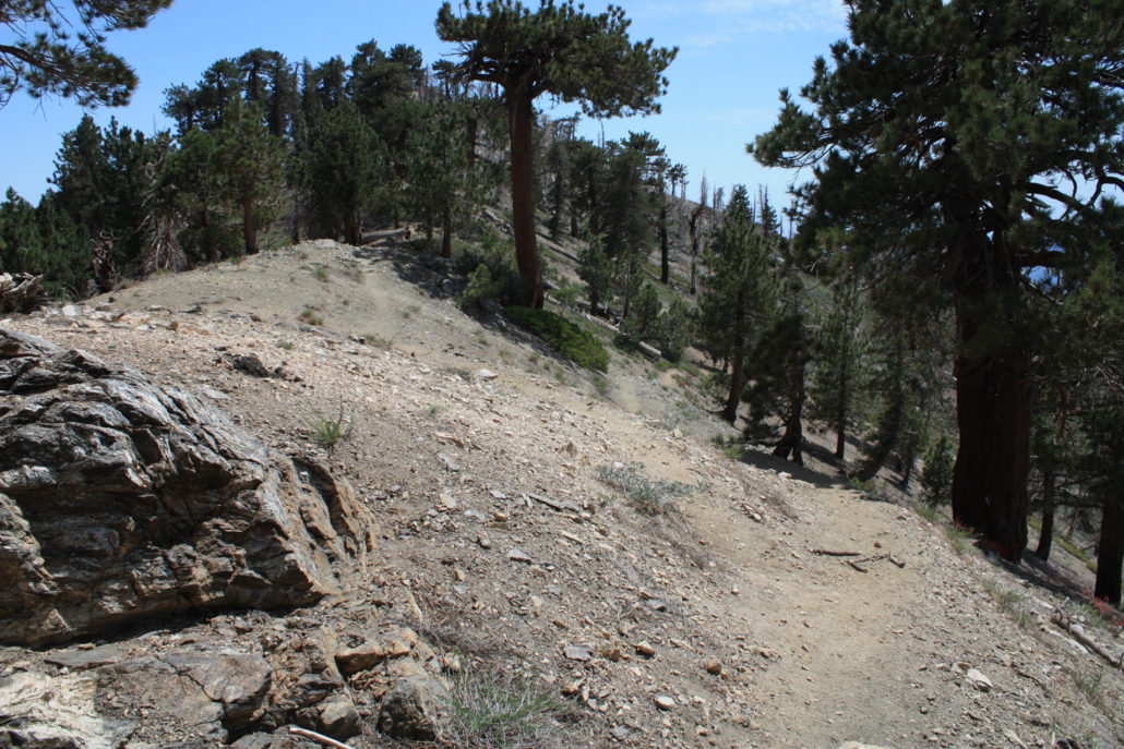
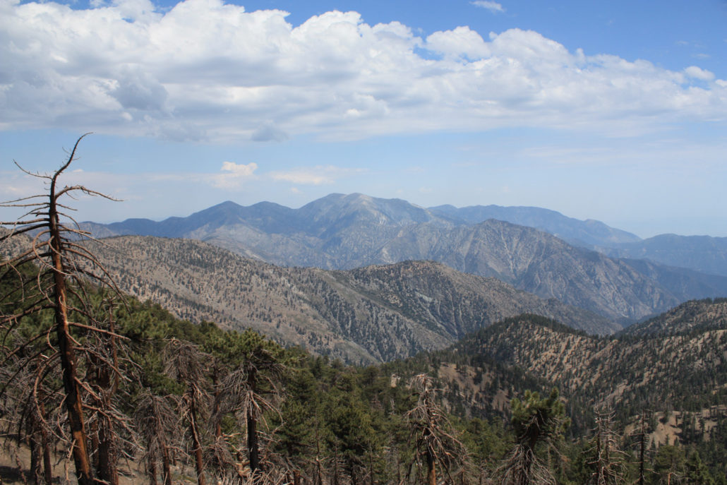
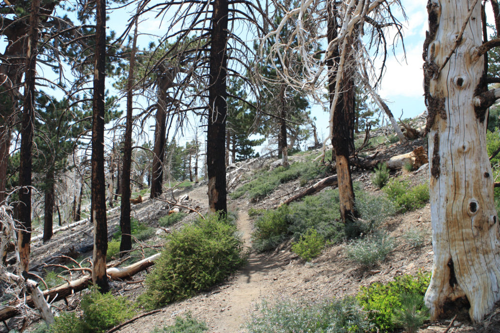
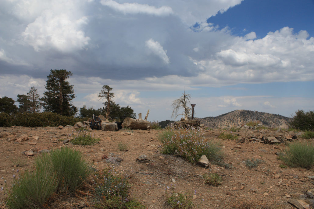
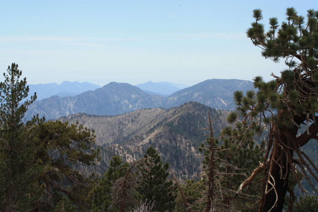
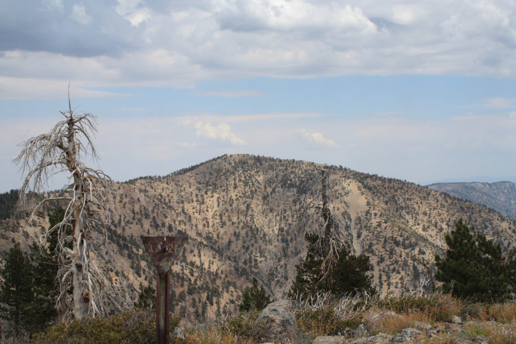
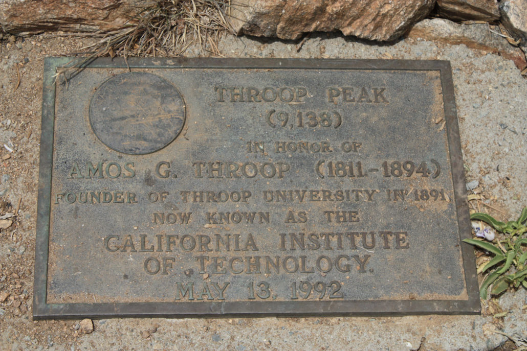
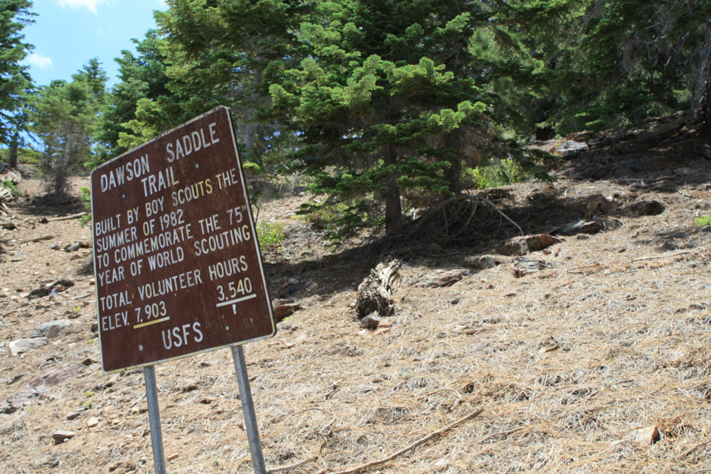
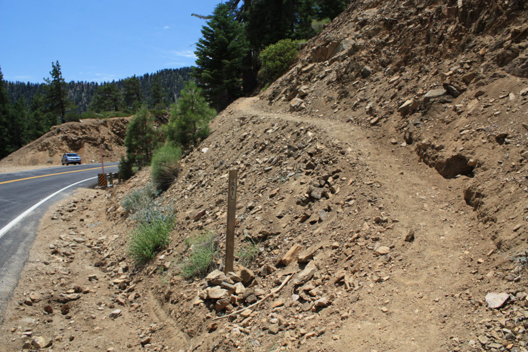
A just over 6 mile out-and-back trail to two prominent peaks to the west of Mount Baden-Powell. With a stretch of spectacularly-designed trail, lots of shade, and phenomenal scenery with not a whole lot of elevation gain, this is a great way to introduce yourself to this area of the San Gabriels and plot out future trips. If you want to spend more time here, there are plenty of connecting trails to other nearby peaks and canyons. Throop Peak (pronounced “Troop”) lies along a ridge just south of a large bend in the Angeles Crest Highway, to the west of Mount Baden-Powell. I wanted to explore more of this newly-opened area of the Angeles National Forest, but didn’t want to drive all the way out there for a single short trail, so decided to add nearby Mount Hawkins to the trip. The parking area is very easy to find. Dawson’s Saddle is clearly marked with a large, visible sign on the road. If you happen to miss that, you’ll most likely see the cars parked on the north side. This is your cue to join them. Park, suit up, hang your Adventure Pass, then cross the street to the south side and walk a few hundred feet to the east, where you’ll see this: Start climbing up these switchbacks, and you’re on your way. And don’t get scared! Unlike nearby Mount Baden-Powell, this trail makes very minimal use of the switchback. You’ll really only encounter them in this first 0.3 miles of trail – and only the very first one is exposed like this. There has been a bit of confusion as to where, exactly, the trailhead is – there is a shed just as the Angeles Crest Highway makes an eastward turn that has a small parking area. There is a series of very steep switchbacks directly across the street from that parking area, but the easier and more official trailhead is just a few hundred feet to the east, near where the road turns south again and a much larger parking area on the north side of the road. This is the Dawson Saddle Trail, built by Boy Scout volunteers in 1982, and I’ve really got to hand it to them – they built a fine stretch
Trail Stats
10.0 km
371 m
2784 m
2402 m
—
Photos
Trail photo
No caption provided.
Trail photo
No caption provided.
Trail photo
No caption provided.
Trail photo
No caption provided.
Trail photo
No caption provided.
Trail photo
No caption provided.
Trail photo
No caption provided.
Trail photo
No caption provided.
Trail photo
No caption provided.
Trail photo
No caption provided.
Trail photo
No caption provided.
Trail photo
No caption provided.
Trail photo
No caption provided.
Trail photo
No caption provided.
Trail photo
No caption provided.
Trail photo
No caption provided.
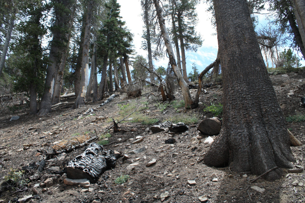
Trail photo
No caption provided.
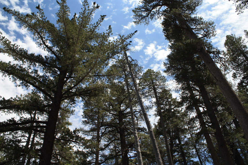
Trail photo
No caption provided.
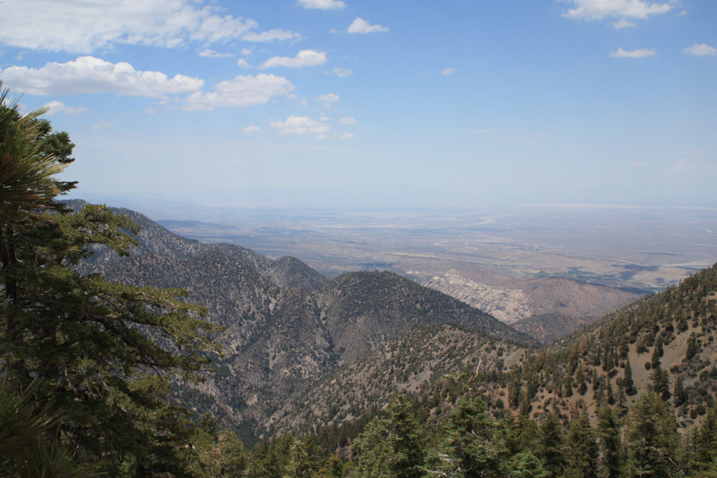
Trail photo
No caption provided.

pine trees near Throop Peak
pine trees near Throop Peak
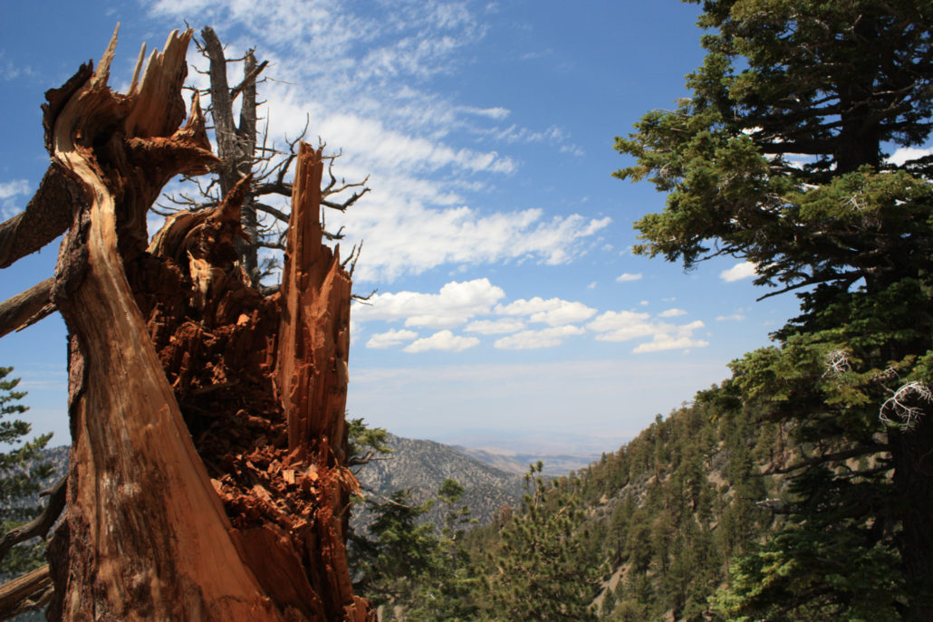
Trail photo
No caption provided.
Trail photo
No caption provided.
Trail photo
No caption provided.