3 min
Overview
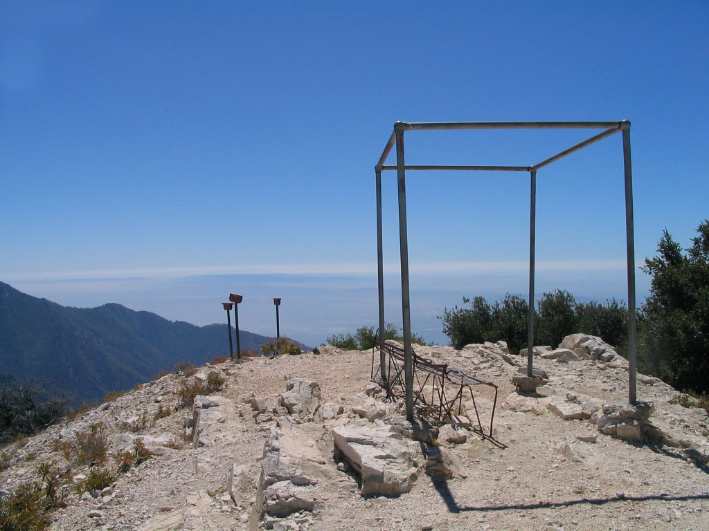
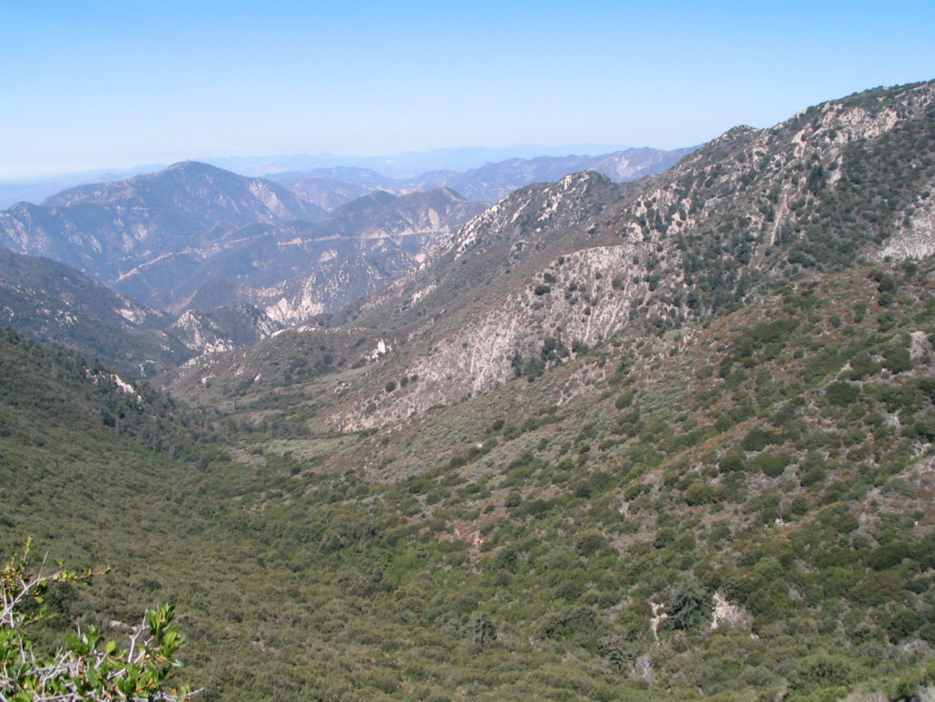
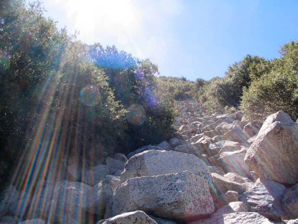
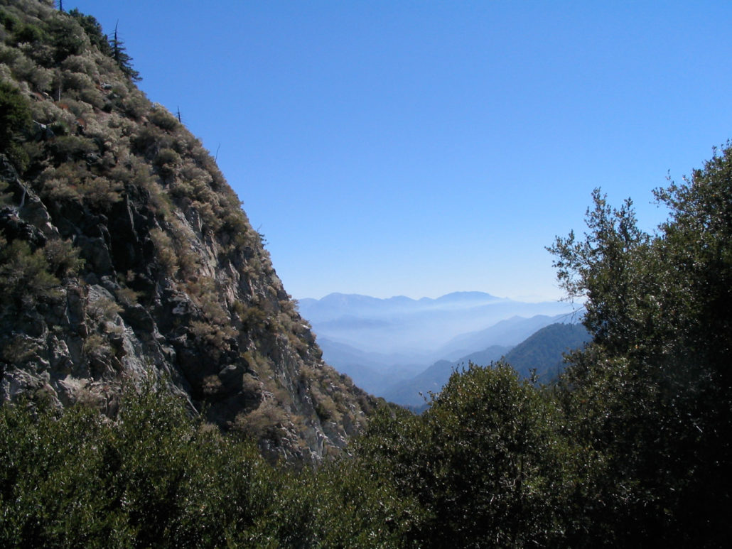
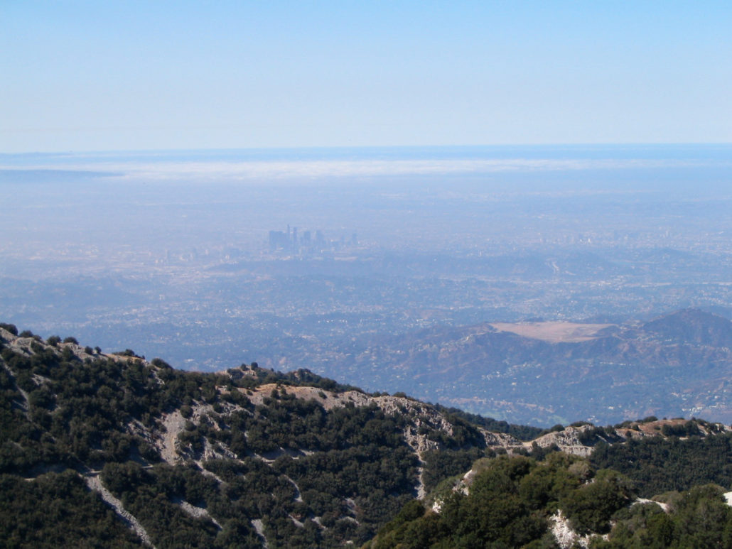
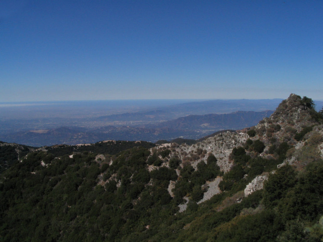
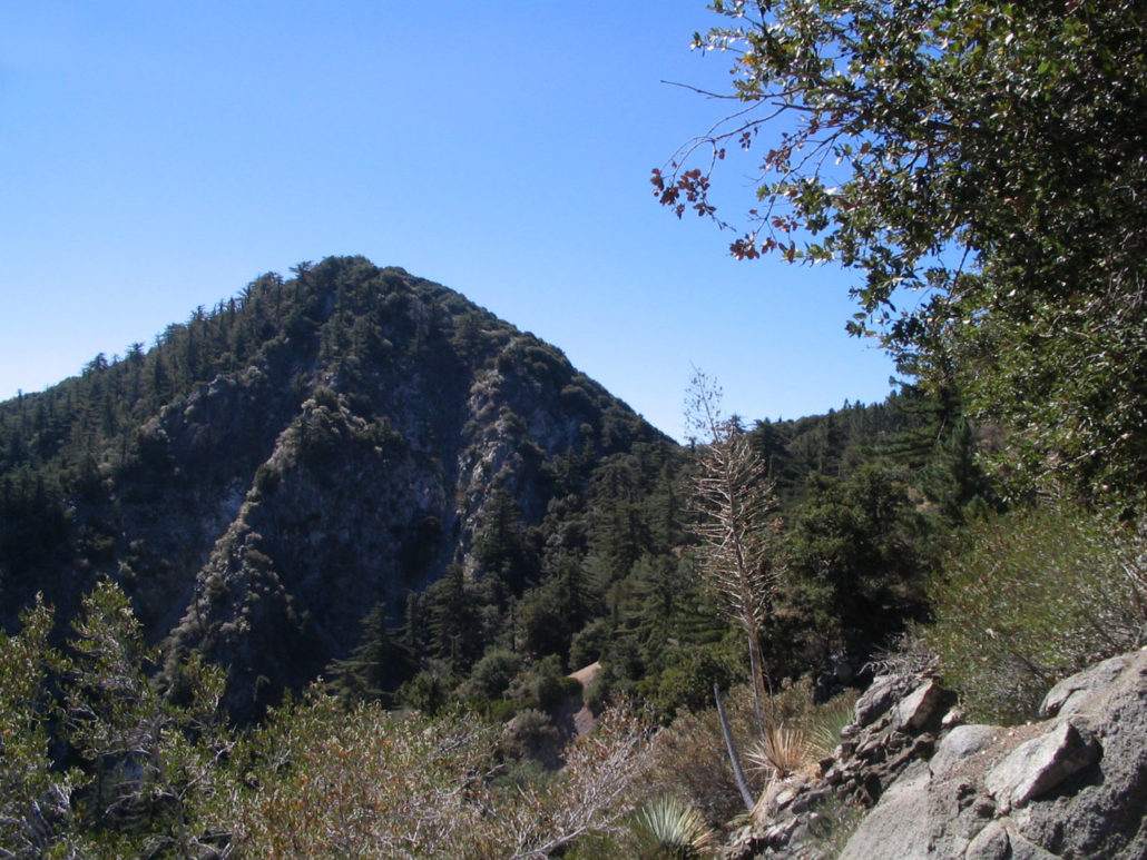
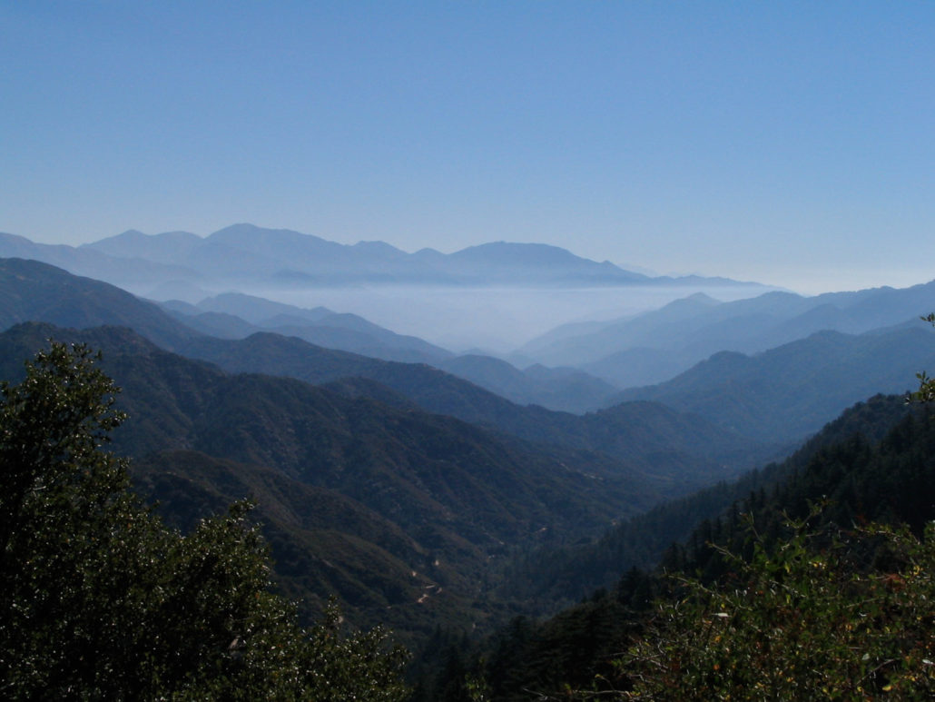
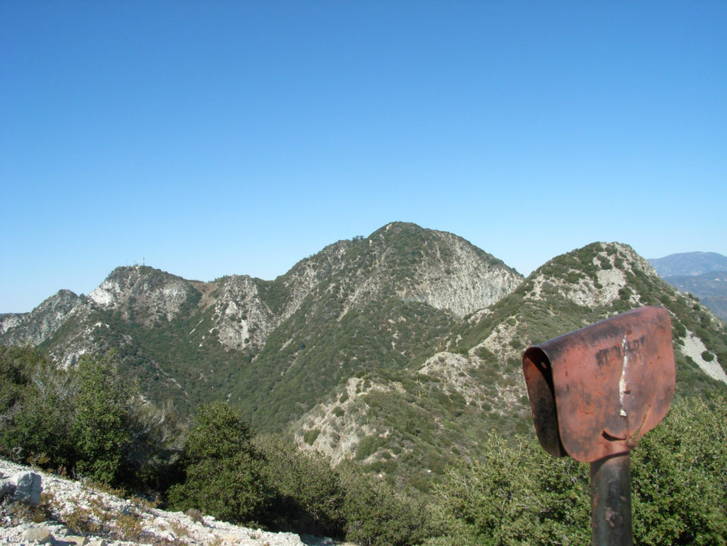
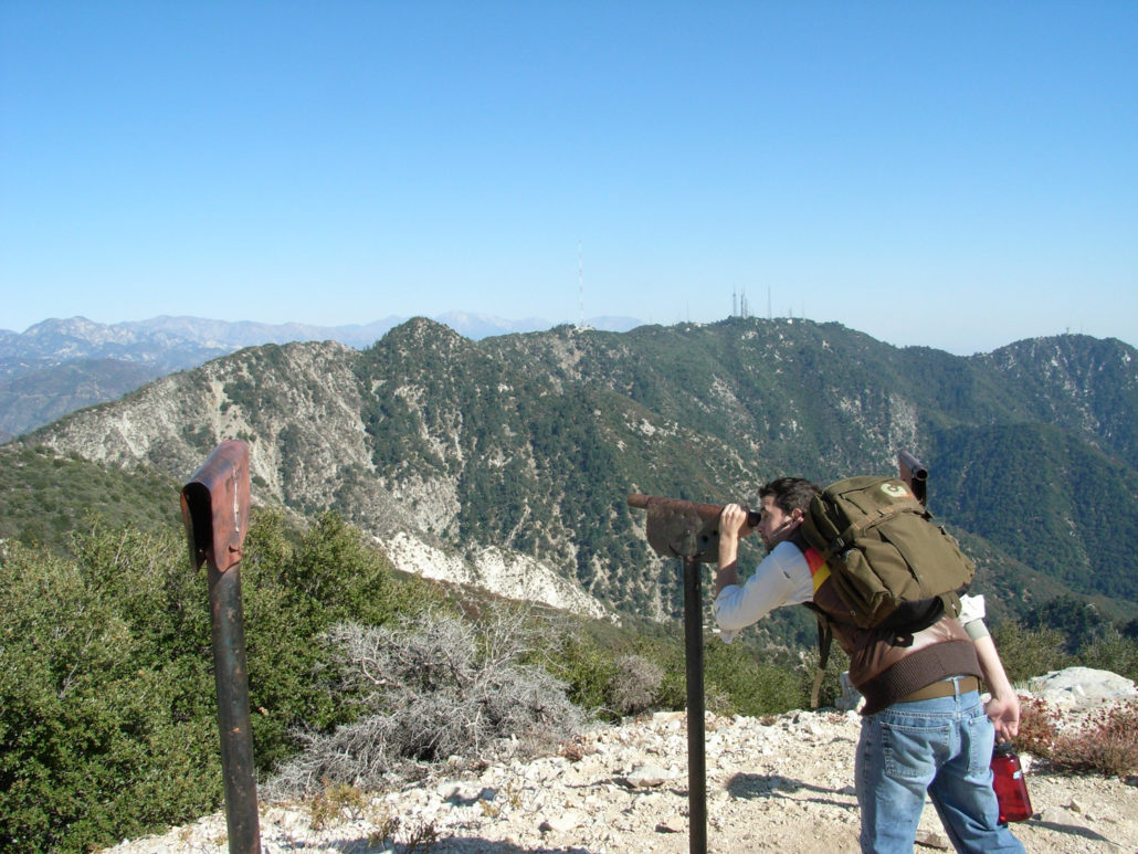
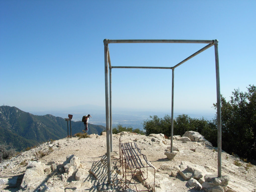
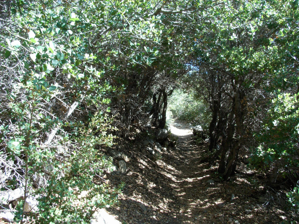
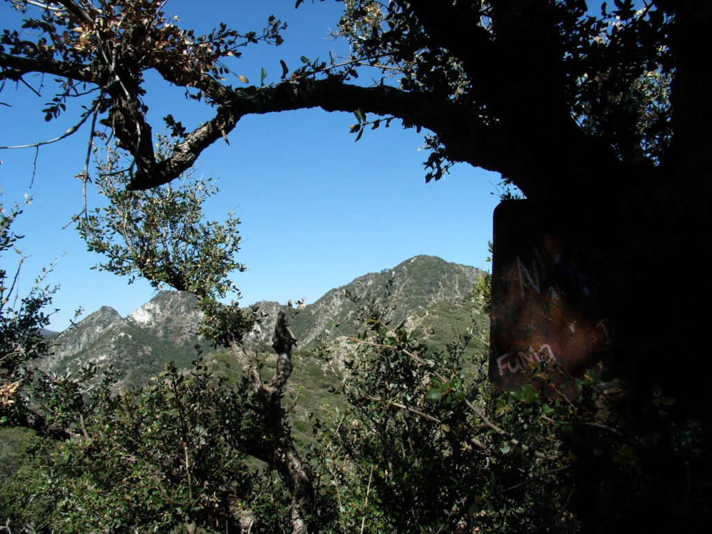
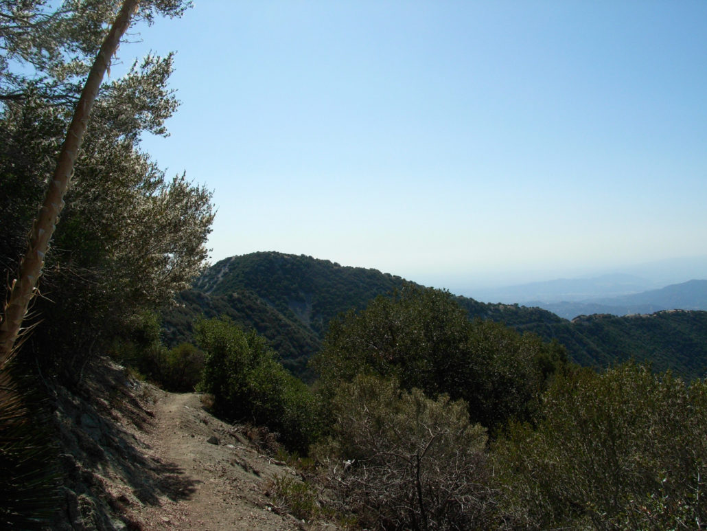
This 6.1 mile out-and-back travels over one ridge of the front range of the San Gabriel Mountains to get to Mount Lowe, part of old, sprawling land of the nearby Echo Mountain Resort. Mount Lowe was planned as the site of a grand alpine tavern and aerial tramway for the resort, but geography and money woes kept it from being fully developed – although there are still remnants of the resort on the summit, including some viewing tubes that can help identify nearby peaks. This trail’s multiple ascents and descents in both directions make it a decent workout trail but the mostly moderate grade, history, and views make it an attractive option for just about anyone. And if you’re feeling extra feisty, there are plenty of nearby peaks to add to the journey! The collection of mountains near San Gabriel Peak is one of my favorites in the San Gabriels – it’s close enough to the city to accomplish as a day-hike, approachable enough for moderately experienced hikers to enjoy, and far enough away from the crowds of nearby Mount Wilson and Echo Mountain to almost guarantee long stretches of hiking solitude. There’s turn-of-the-century history, Cold War history, and several nearby peaks to add to the hike should you feel some extra energy on the return trip. The trailhead for the Bill Reilly Trail begins at a small turn-off off the Mount Wilson-Red Box Road (called Mount Disappointment Road on Google Maps). Park your car just off Mount Disappointment Road or off the Mount Wilson Road if there isn’t any room. Be sure to display your Adventure Pass. The Trail begins on a slightly-eroded hillside and makes a steep, switchbacking ascent up some loose talus. There are a few very small patches of poison oak near this part of the trail, so just keep your eyes open for it. After a few switchbacks in the first 0.2 miles, the trail makes its way into the spotty shade of the pines and manzanita shade on the ridge’s north slope. For the next 1.1 miles, the trail winds its way through this partially shaded region. You’ll occasionally get
Trail Stats
9.9 km
367 m
1749 m
1381 m
—
Photos
Trail photo
No caption provided.

Trail photo
No caption provided.
Trail photo
No caption provided.
Trail photo
No caption provided.
Trail photo
No caption provided.
Trail photo
No caption provided.
Trail photo
No caption provided.
Trail photo
No caption provided.
Trail photo
No caption provided.
Trail photo
No caption provided.
Trail photo
No caption provided.
Trail photo
No caption provided.
Trail photo
No caption provided.
Trail photo
No caption provided.

Trail photo
No caption provided.
Trail photo
No caption provided.
Trail photo
No caption provided.
Trail photo
No caption provided.