4 min
Overview
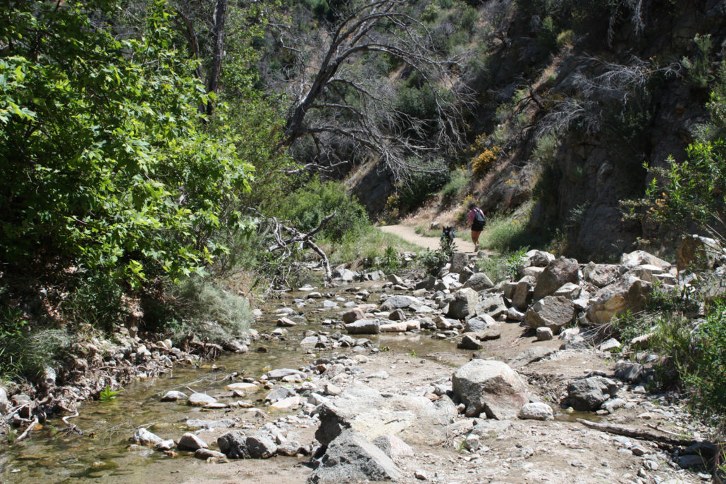
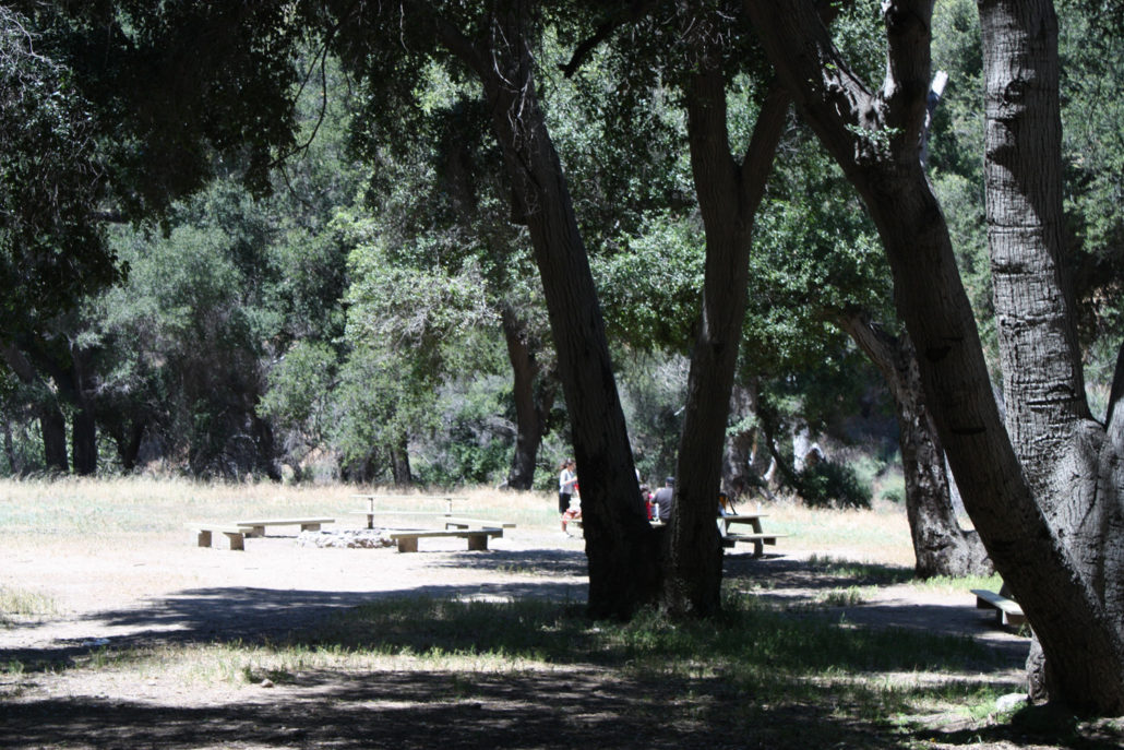
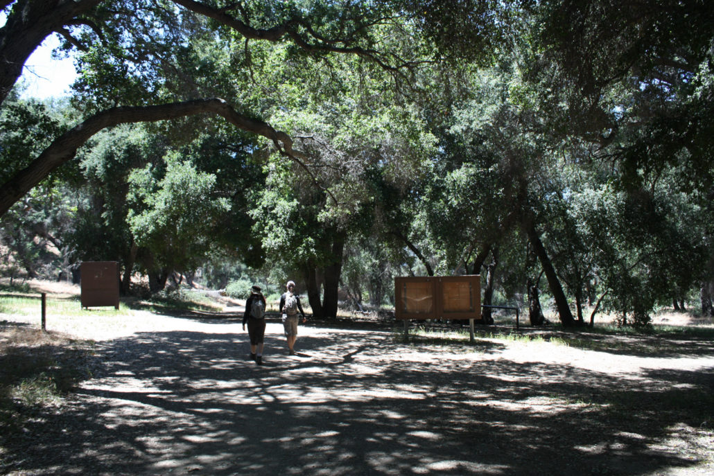
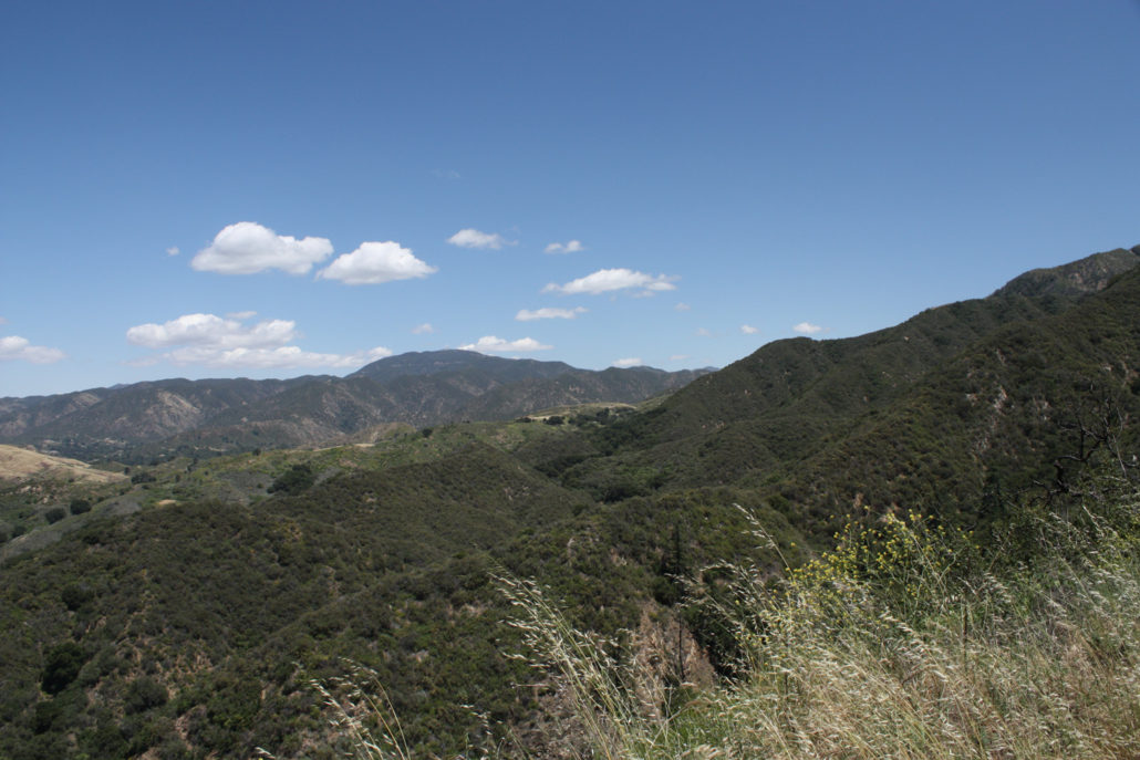
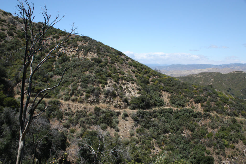
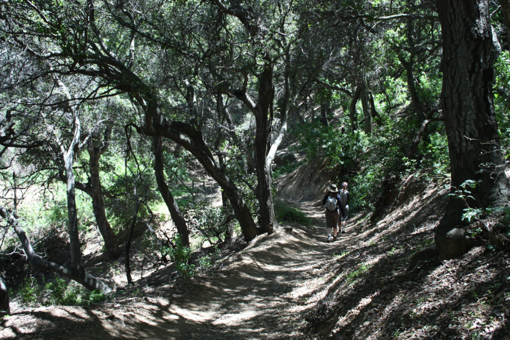
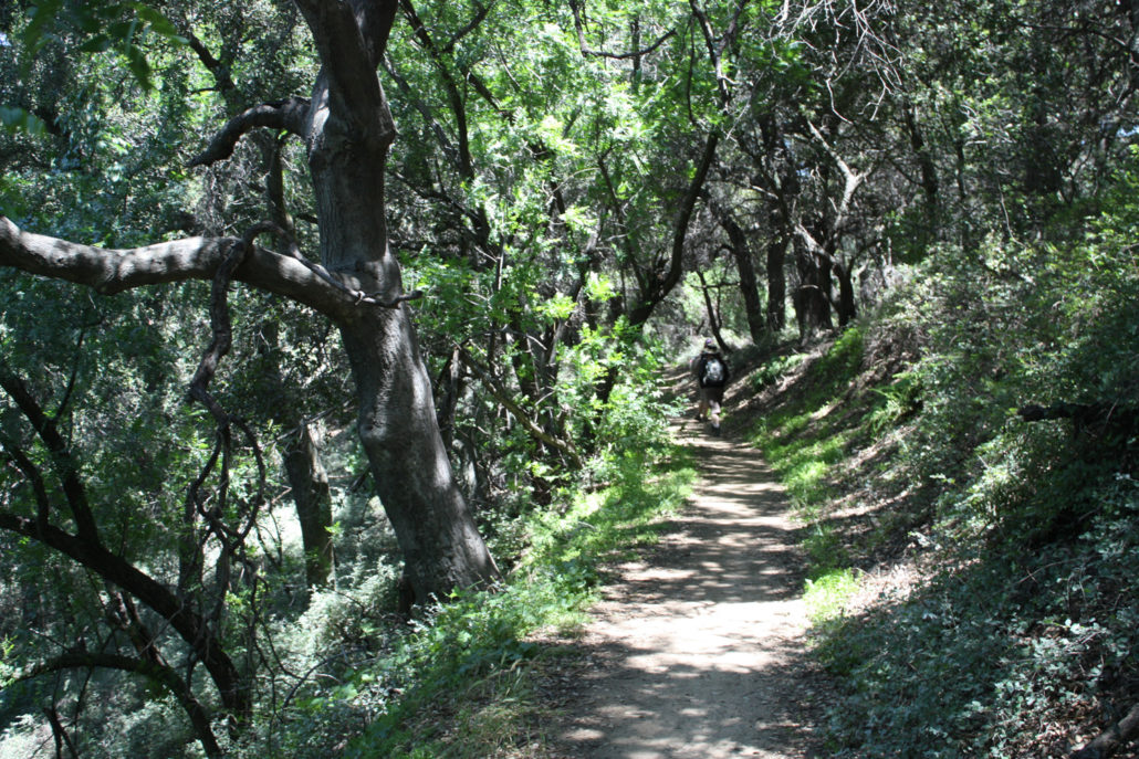
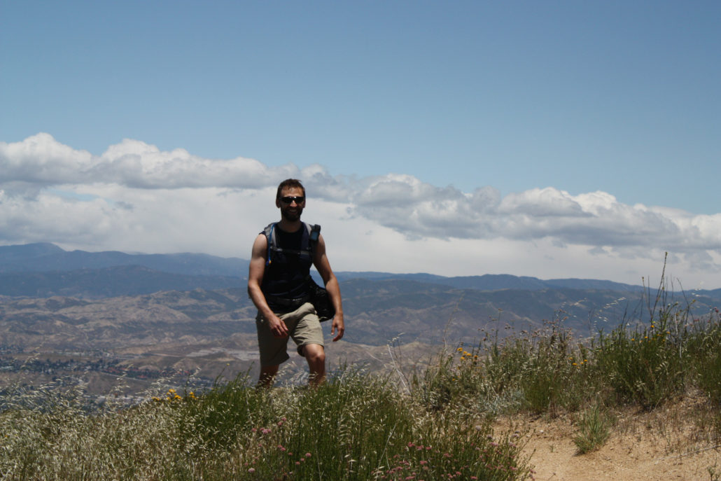
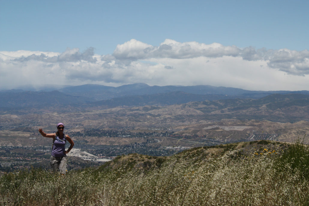
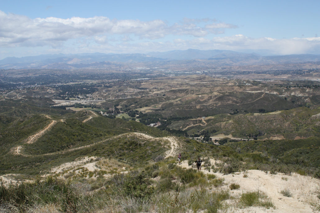
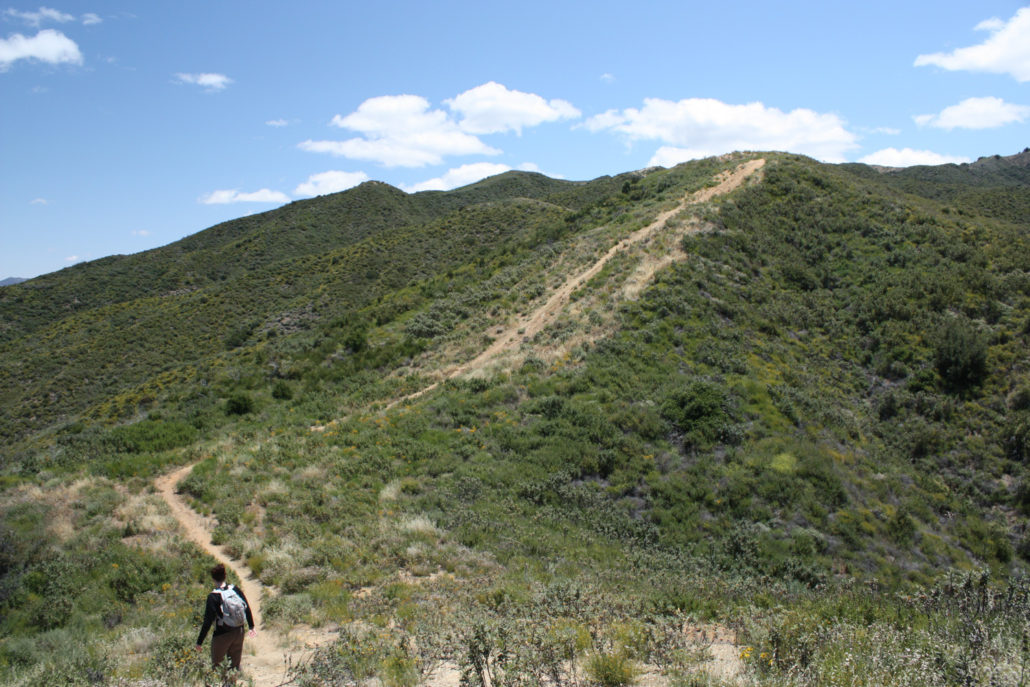
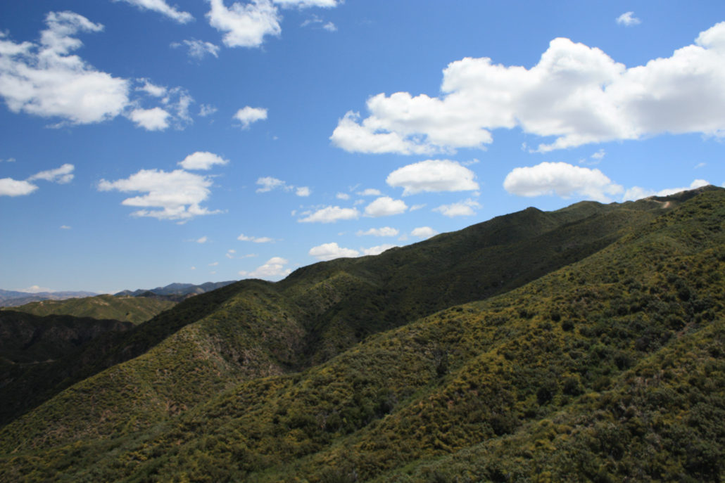
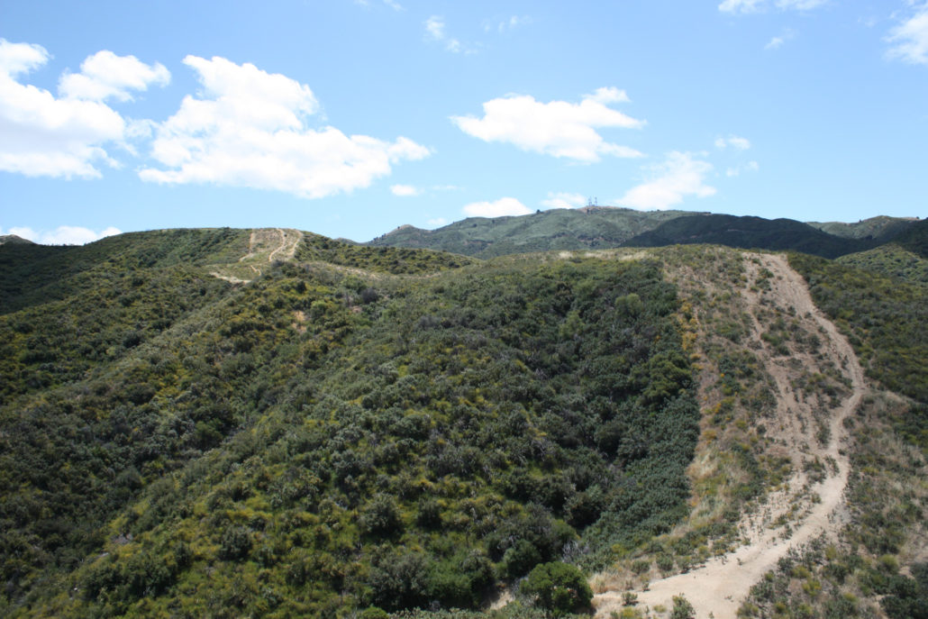
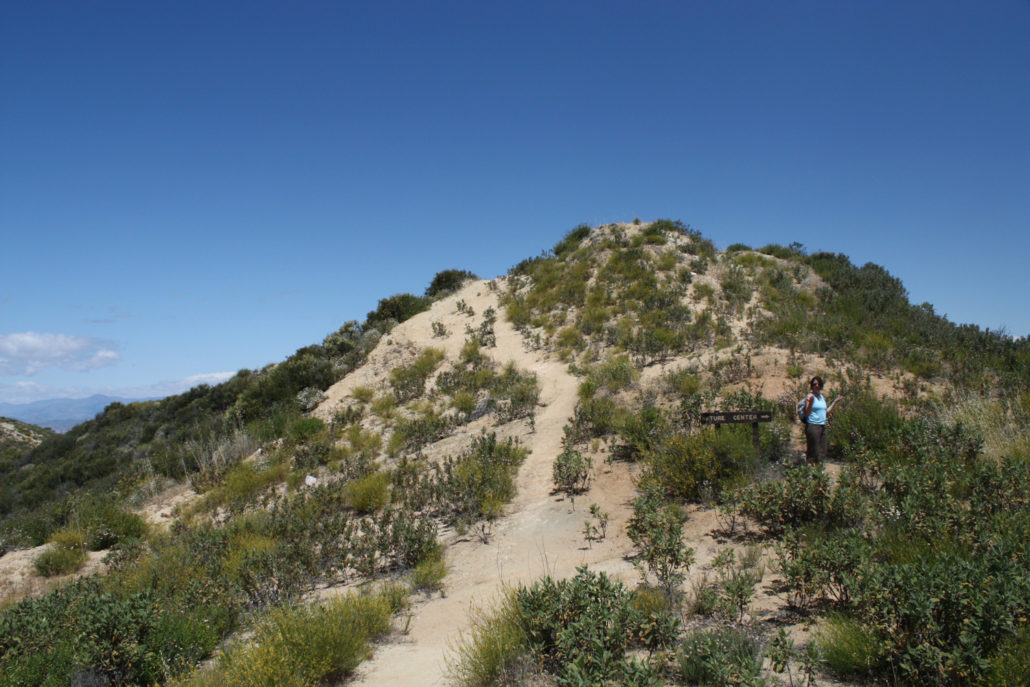
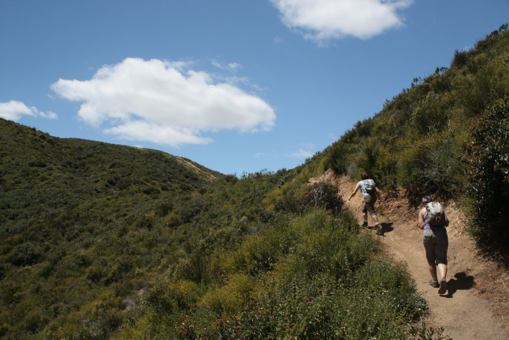
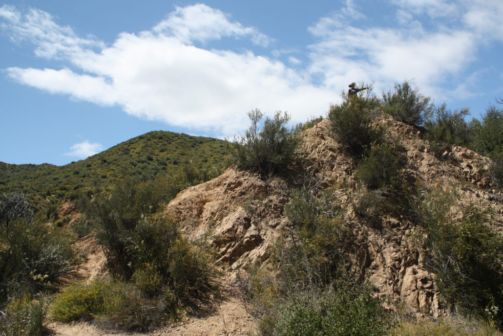
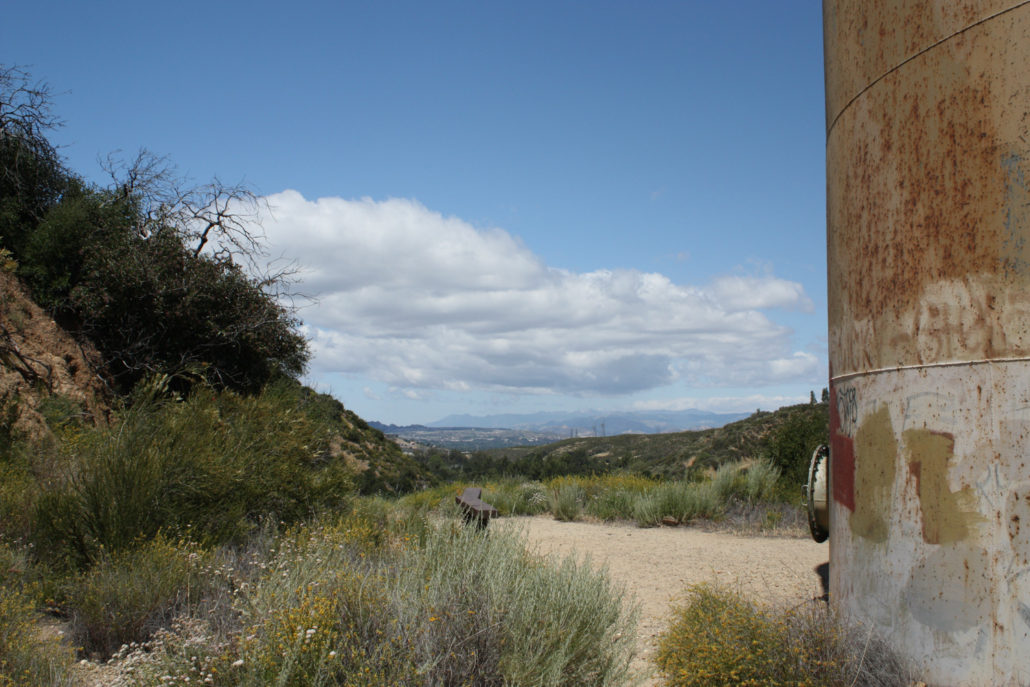
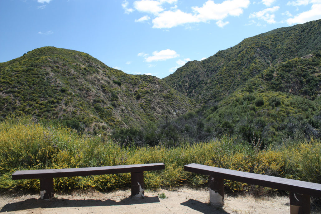
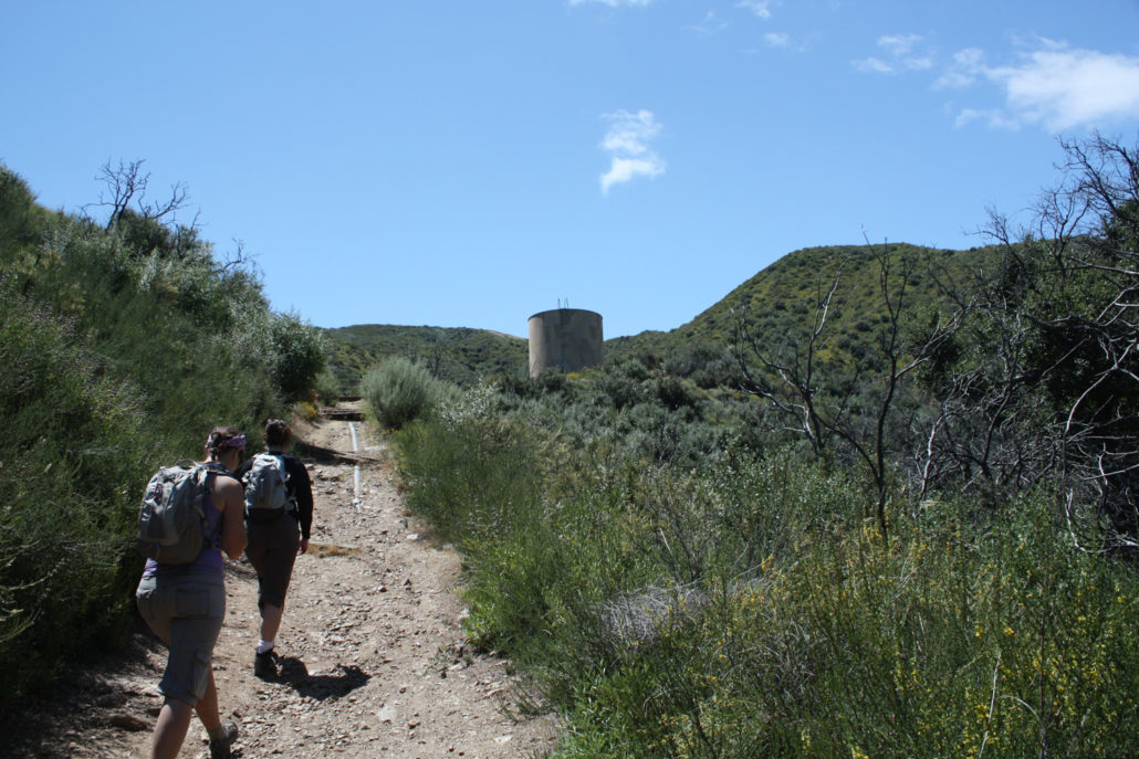
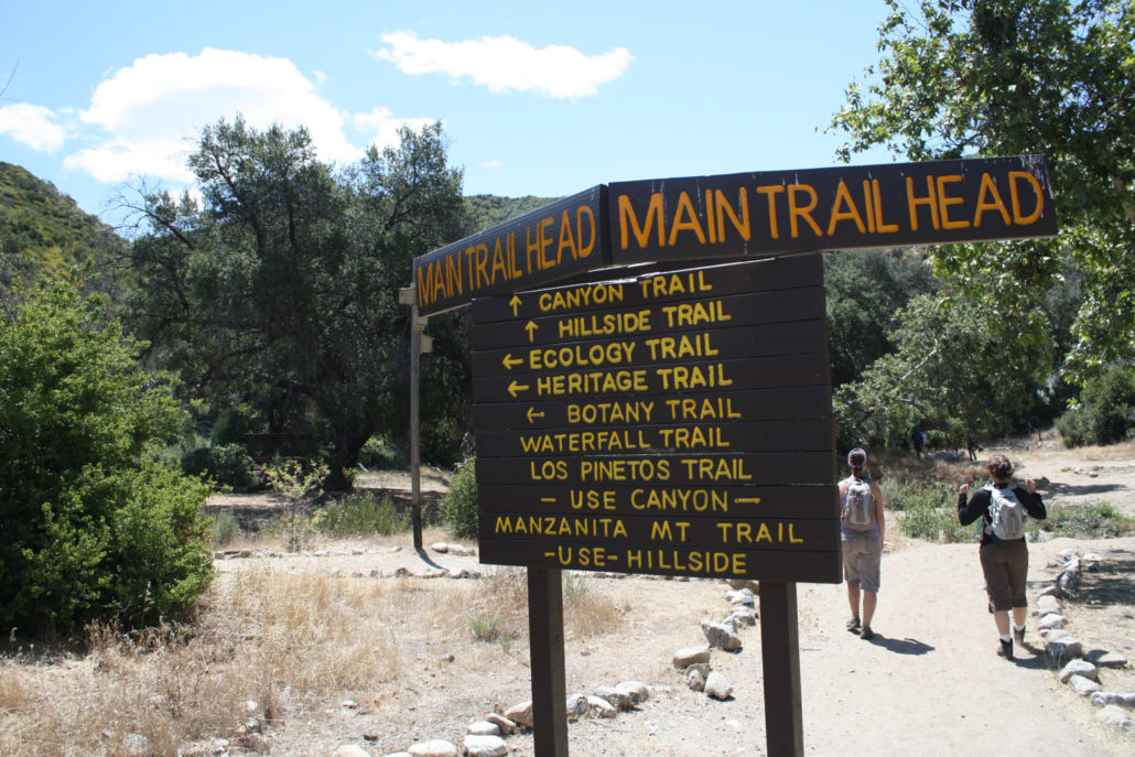
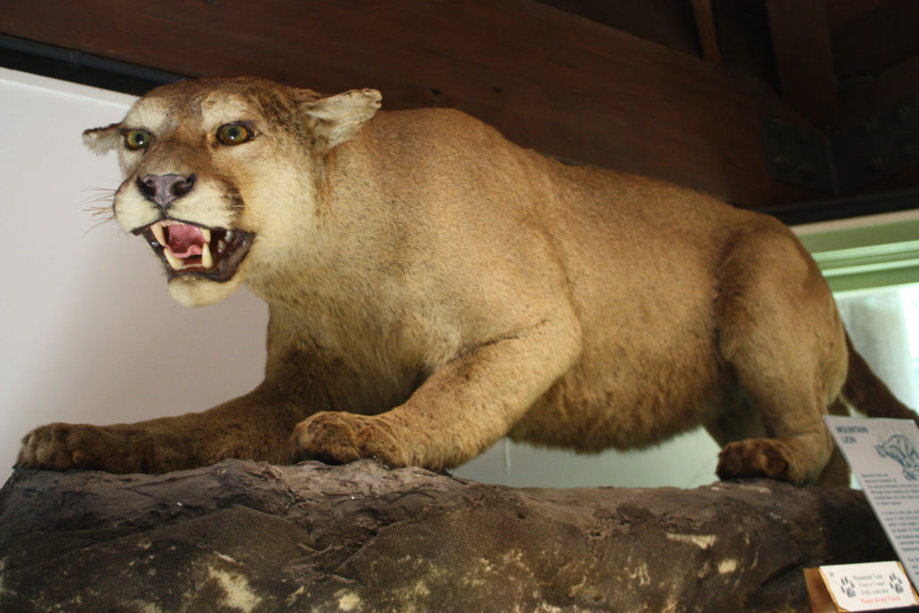
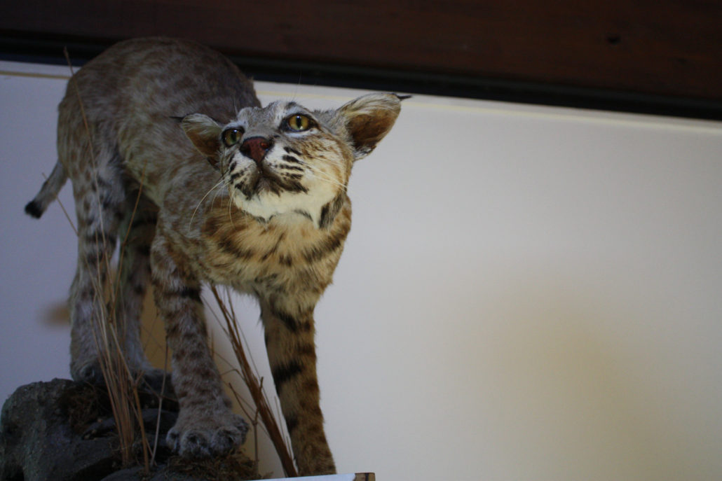
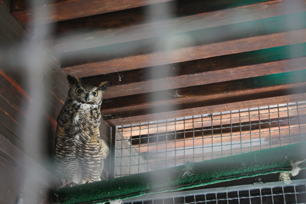
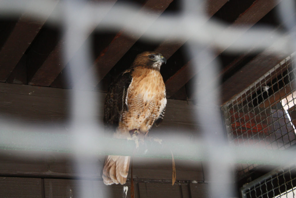
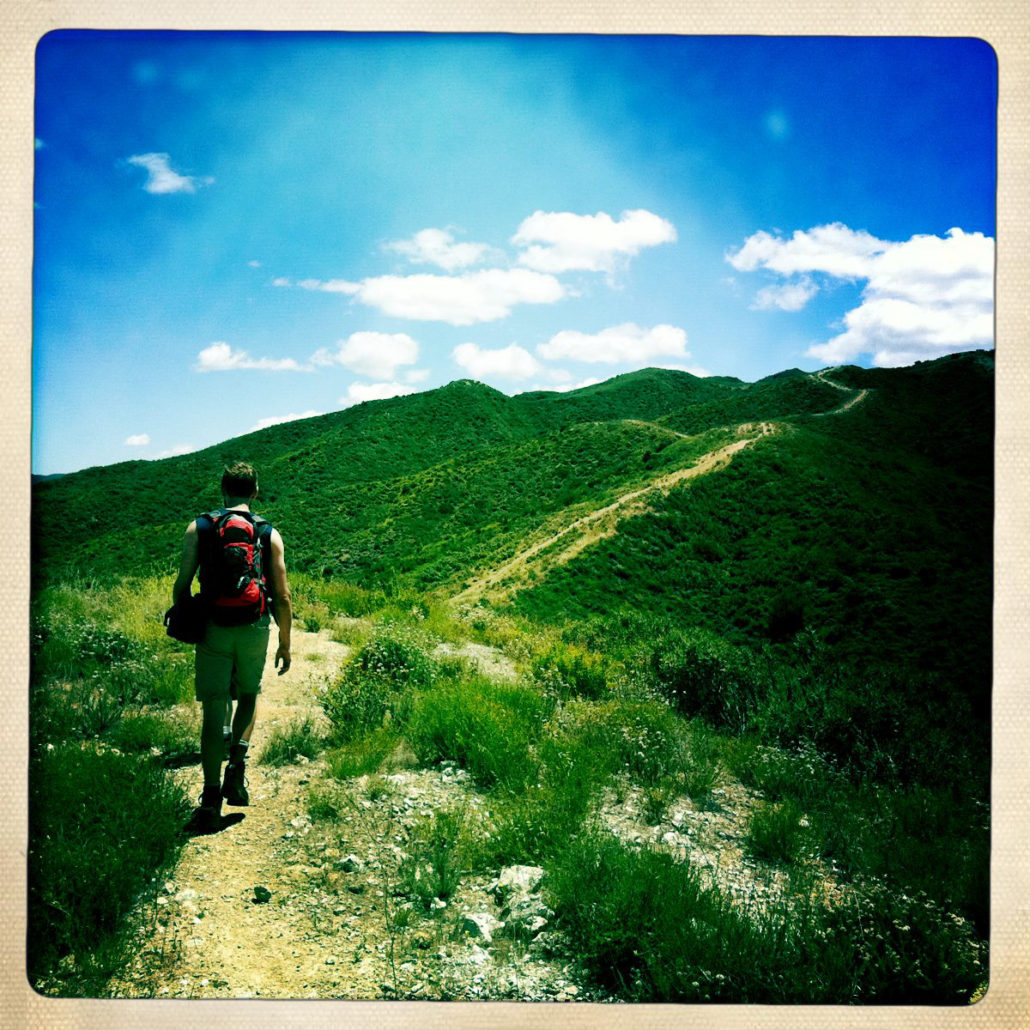
This 7 mile loop in Placerita Canyon Natural Area has a little something for everyone. This route starts out at one of the best Nature Centers at any local or state park, then makes a grueling ascent up a series of shadeless firebreaks that would make any hiker break a sweat. The second half of the trail is shaded in a surprisingly verdant canyon before meandering along the babbling Placerita Creek, with an optional side-trip to a waterfall. A really great loop – highly recommended. You can also make a side trip to visit the Oak of the Golden Dream — the site of the first gold rush in California. The Placerita Canyon Nature Center really is one of the most well-maintained and comprehensive visitors’ centers in any Southern California park. Stocked with great exhibits and knowledgable staff, the center also has several animals on display and leads a variety of hikes and family-friendly programs. So on our recent hike in the area, we started off just wandering around checking out the live and stuffed animals in the center first. But we didn’t come here to get scared by the captive rattlesnakes – we came to hike – and there are plenty of excellent trails in the park. Right across the parking area from the nature center (and a short hop across Placerita Creek), you’ll get to the Main Trailhead – a junction of several trails that cross the canyon in various directions. In fact, there are so many trails and arrows on that first sign that it might be a bit confusing. So just keep straight and look for the Karen M. Pearson Hillside Trail. Take the short but steep incline and you’re on your way. In about 0.1 mile, you’ll ascend 100 feet to a water tank with some benches nearby. At this point, you can either scramble up another short but steep use-trail on the incline behind the tank to get to the Manzanita Mountain Trail, or just stay on the Hillside Trail as it heads east for a dozen yards or so to the actual junction. We chose the scramble for fun, but it doesn’t really save you that much distance. From here, the Manz
Trail Stats
11.3 km
501 m
971 m
463 m
—
Photos
Trail photo
No caption provided.
Trail photo
No caption provided.
Trail photo
No caption provided.
Trail photo
No caption provided.
Trail photo
No caption provided.
Trail photo
No caption provided.
Trail photo
No caption provided.
Trail photo
No caption provided.
Trail photo
No caption provided.
Trail photo
No caption provided.
Trail photo
No caption provided.
Trail photo
No caption provided.
Trail photo
No caption provided.
Trail photo
No caption provided.
Trail photo
No caption provided.
Trail photo
No caption provided.
Trail photo
No caption provided.
Trail photo
No caption provided.
Trail photo
No caption provided.
Trail photo
No caption provided.
Trail photo
No caption provided.
Trail photo
No caption provided.
Trail photo
No caption provided.
Trail photo
No caption provided.
Trail photo
No caption provided.
Trail photo
No caption provided.