3 min
Overview
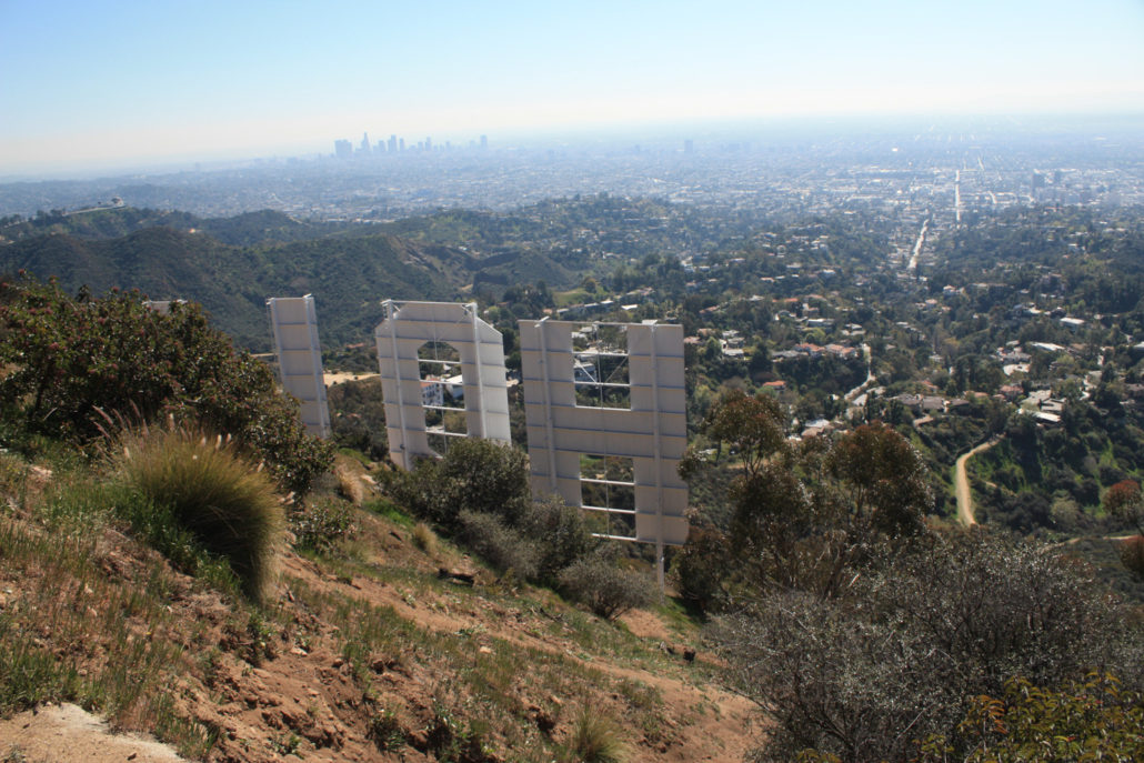
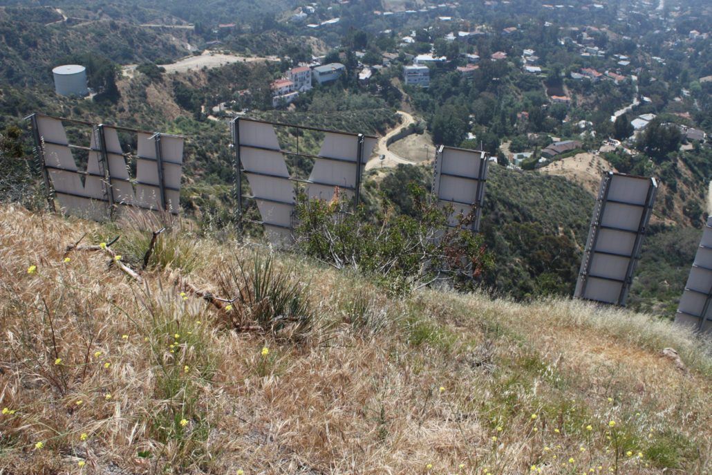
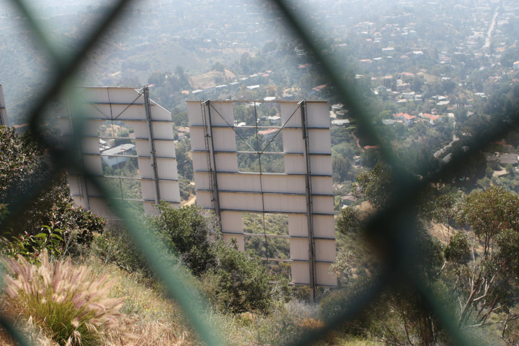
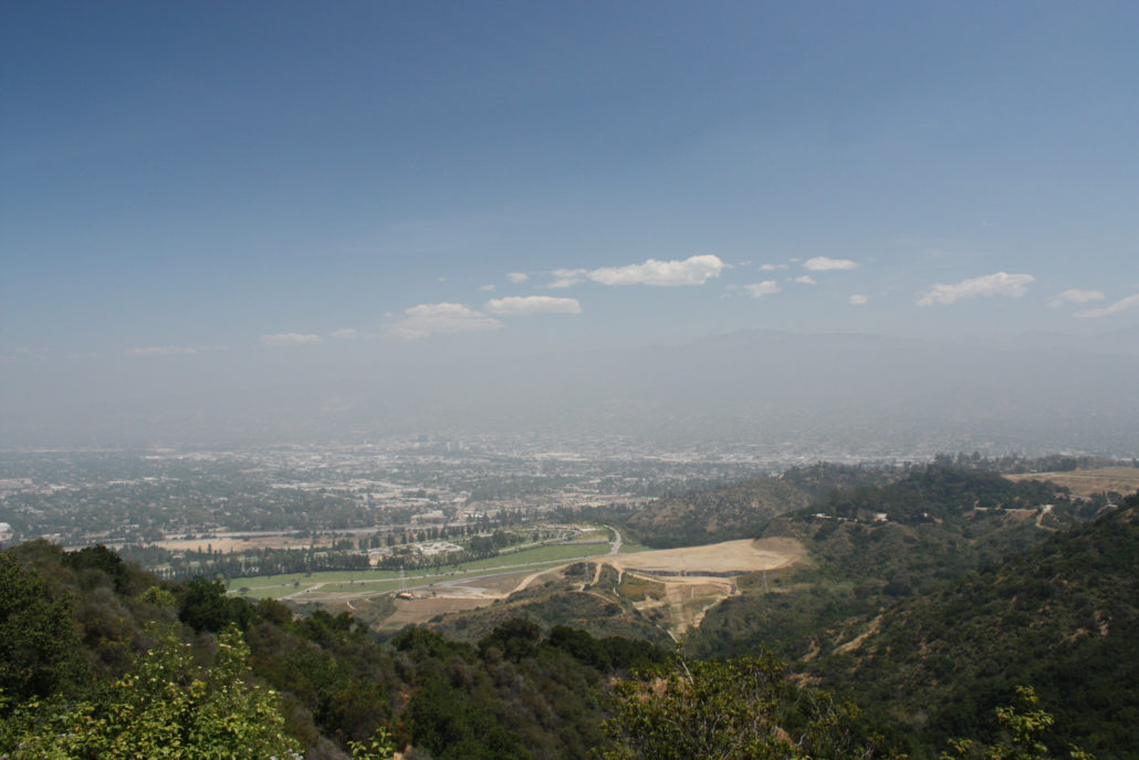
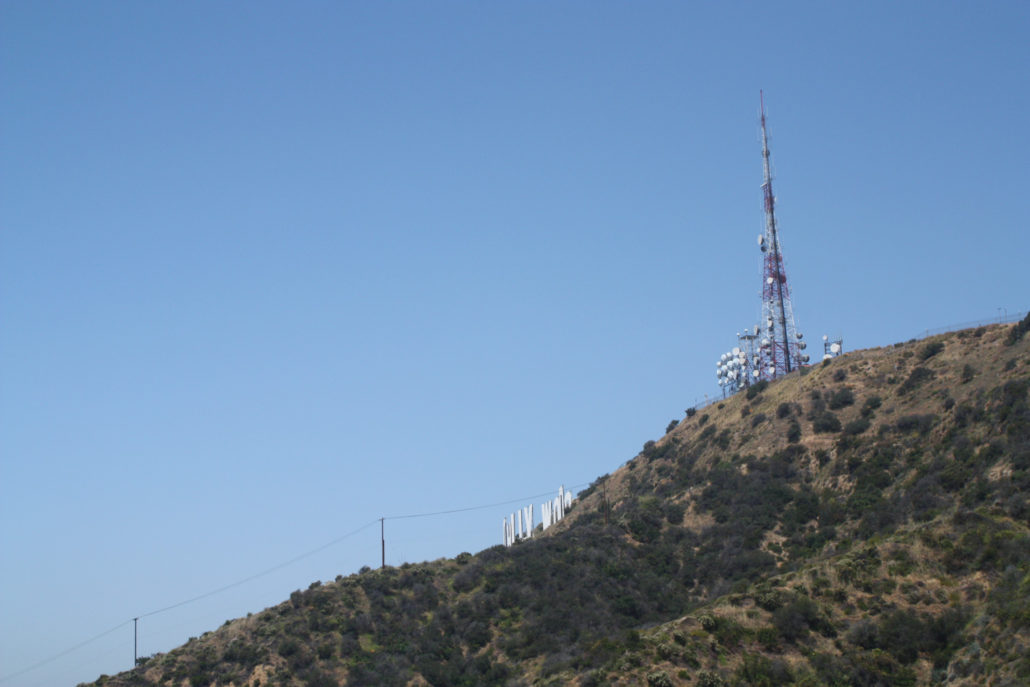
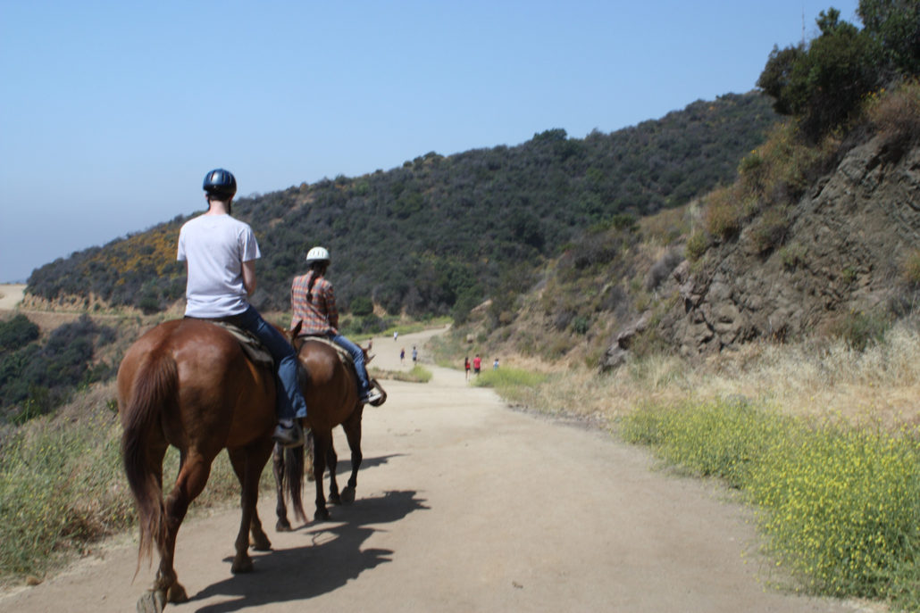
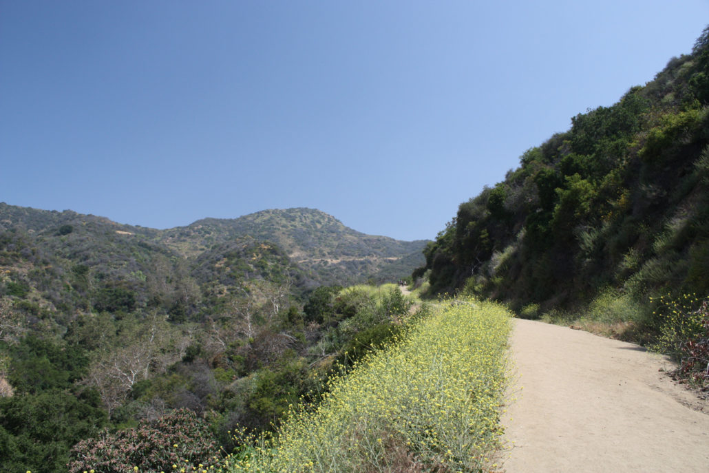
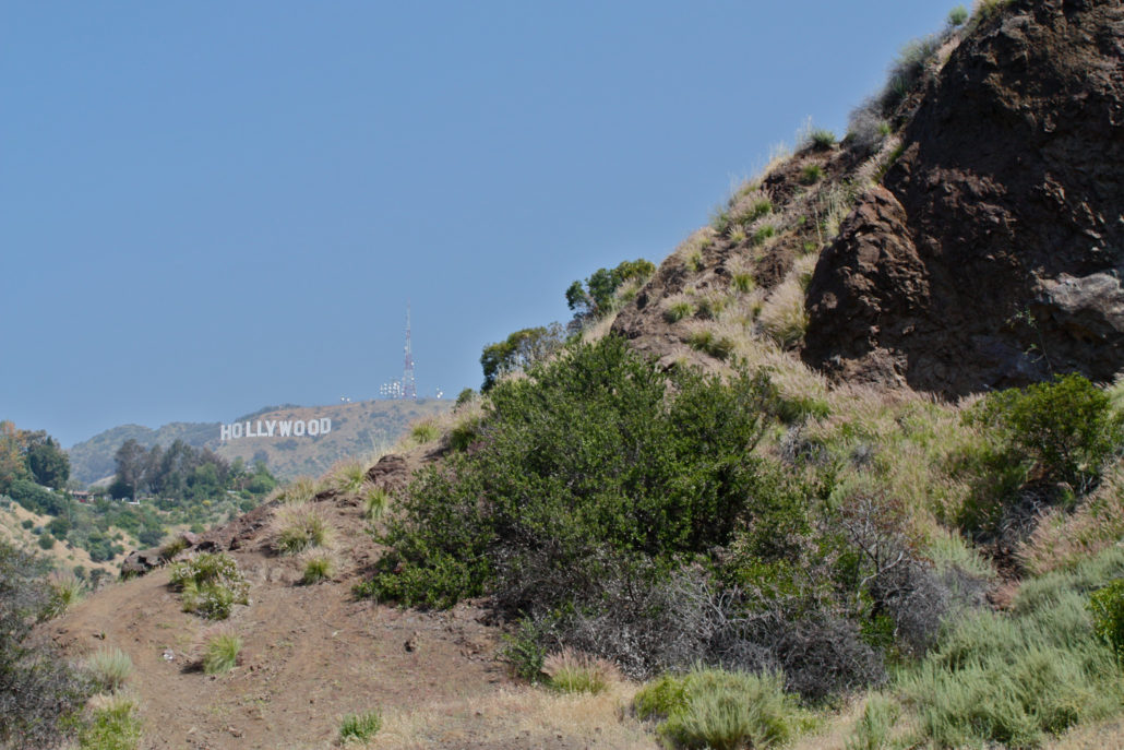
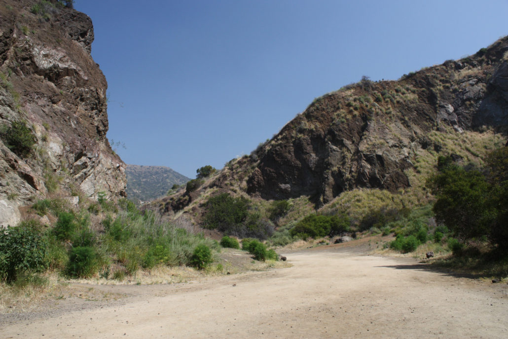
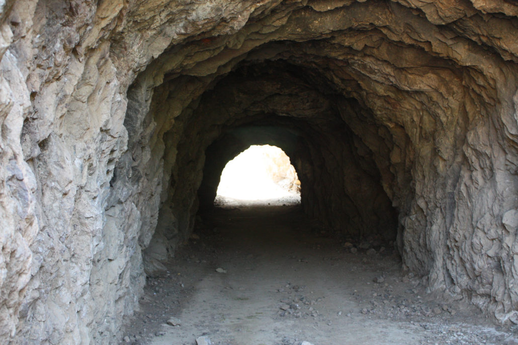
One of our 16 Ways to See the Hollywood Sign Get up close and personal with two of L.A.’s landmarks on this moderate 6.5 mile out-and-back in Griffith Park — the iconic Hollywood Sign AND the Batcave from the 60’s TV series “Batman.” This dog-friendly route is popular with local hikers, fitness buffs, and equestrians, and is a good way to tack a local workout into your hiking routine. This mostly shadeless route is rarely steep, but it does have a very steady incline for almost the entire route. Be sure to bring water – especially if it’s a sunny day – and watch out for rattlesnakes! Let’s face it – eventually you or someone you know is going to want to hike to the Hollywood Sign. It’s sort of a right of passage for Angelenos and tourists alike. Although many people are confused and disappointed to learn that it’s not actually possible to hike to the Sign itself (a chain link fence and lots of security cameras prevent hikers from reaching the giant letters), this route takes you to the peak directly behind the sign for some beautiful views of the city and a day well-spent outside. While this route is a bit lengthier than other approaches, it does avoid the contentious and – as of late – downright nasty access battle currently raging in the Beachwood Canyon neighborhood of Los Angeles. Residents there are upset that hikers were parking on narrow, winding neighborhood streets to access a public park on established trails, and have taken to hiring private security guards to block that access, post intimidating (and unofficial but official-looking) signs to discourage visitors, petitioned Google to remove directions from Google Maps, and have filed a lawsuit against the city to close those trails. As of now, the gate to the Hollyridge Trail at the top of Beachwood Drive has been closed to pedestrian access by court order, effectively closing that entrance to Griffith Park. For now you can (and should) skip all that hullabaloo and head to Canyon Drive north of Franklin. At the end of this road inside Griffith Park,
Trail Stats
10.6 km
334 m
522 m
179 m
—
Photos
Trail photo
No caption provided.
Trail photo
No caption provided.
Trail photo
No caption provided.
Trail photo
No caption provided.
Trail photo
No caption provided.
Trail photo
No caption provided.
Trail photo
No caption provided.
Trail photo
No caption provided.
Trail photo
No caption provided.
Trail photo
No caption provided.
Trail photo
No caption provided.