2 min
Overview
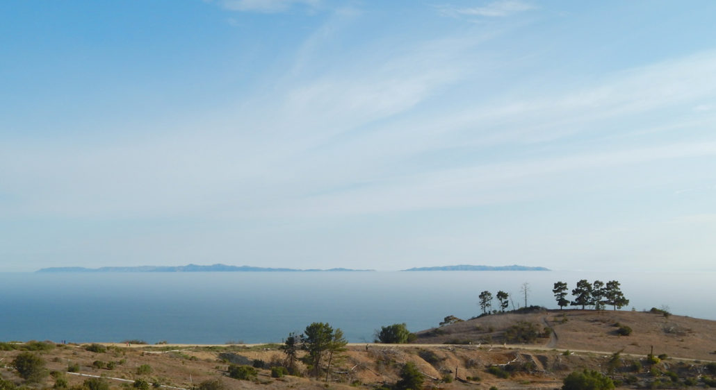
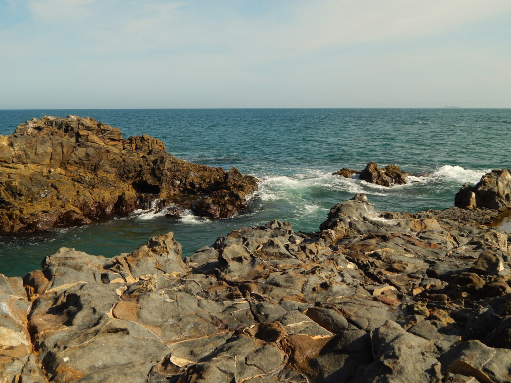
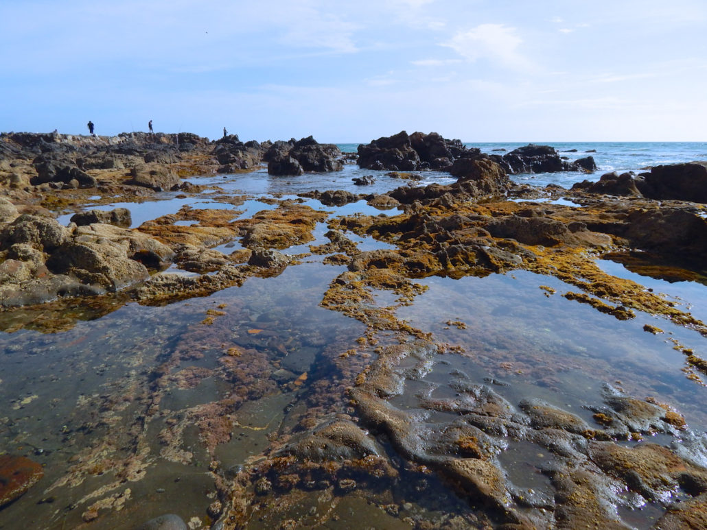
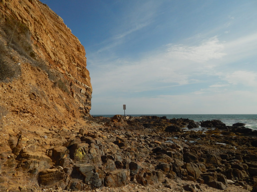
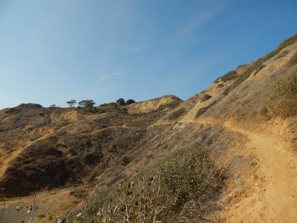
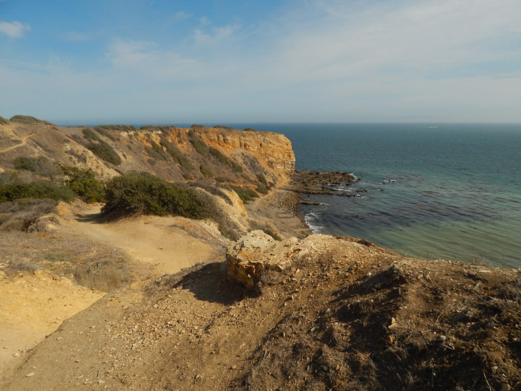
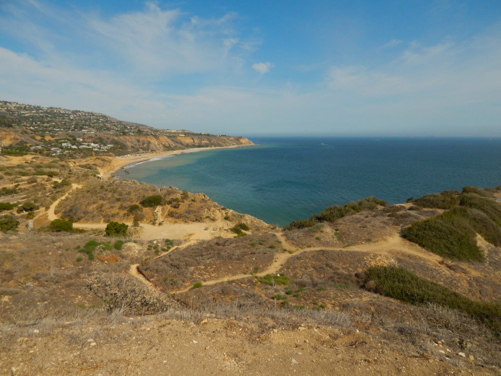
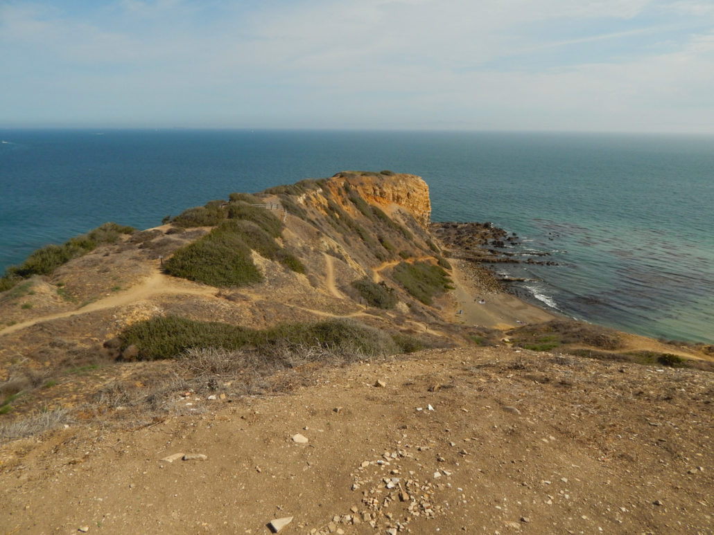
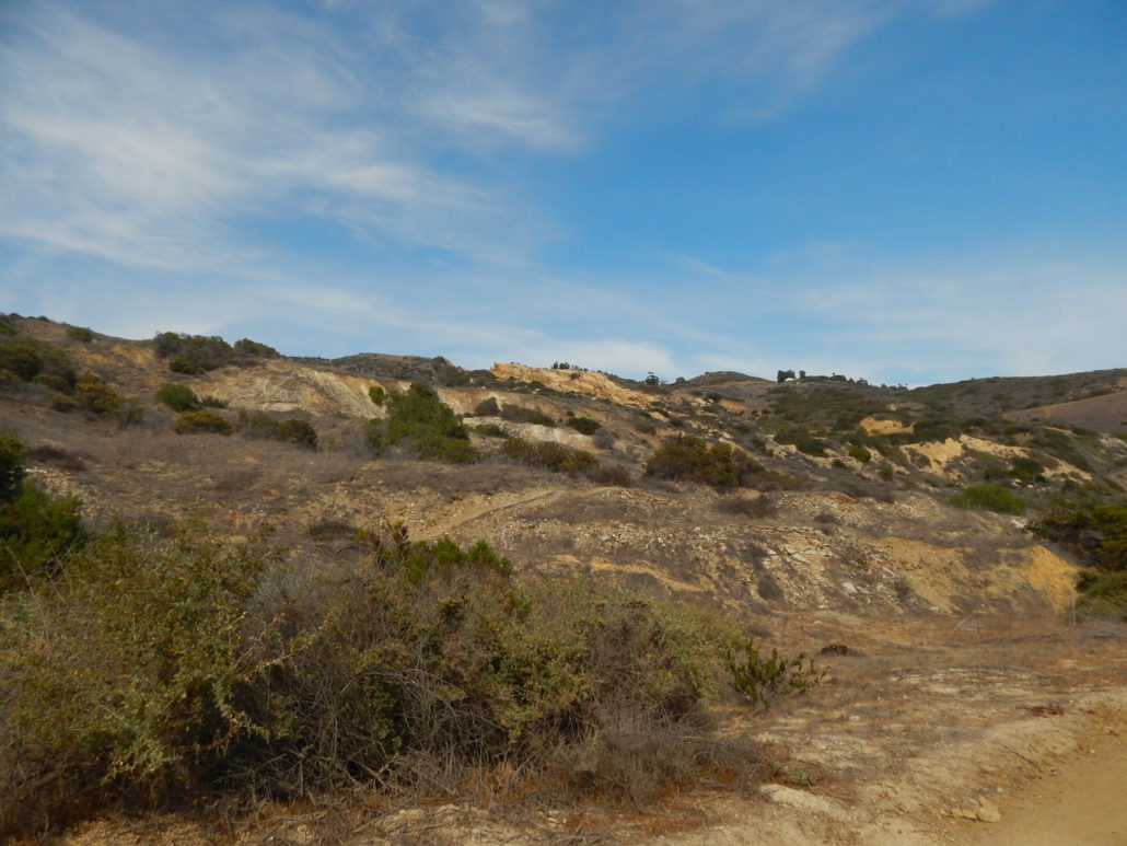
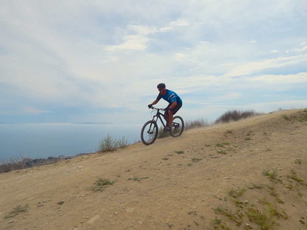
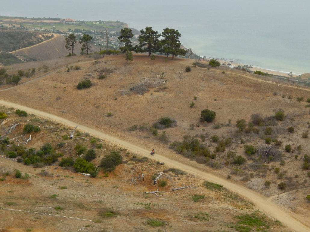
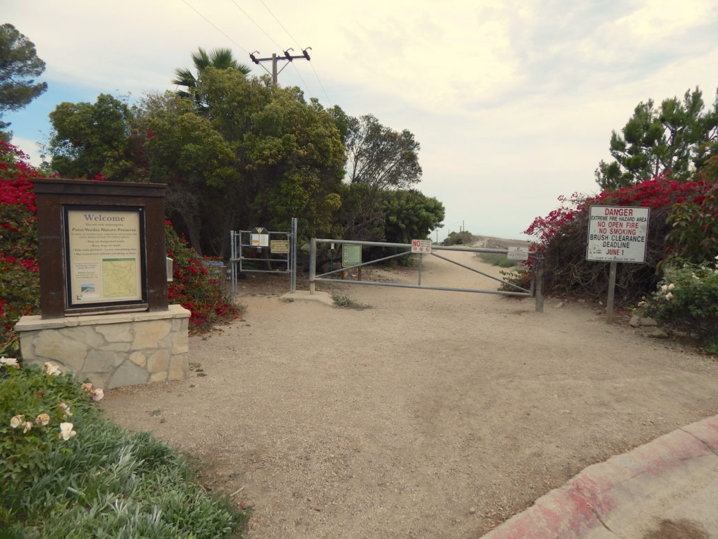
If you dream of traveling to Big Sur, but don’t want to load the mileage on your car, here’s your consolation prize: a local getaway to sweeping ocean vistas, towering craggy cliffs, and churning teal seas via a six-mile round trip from the top of Palos Verdes’ Portuguese Bend Reserve to sea level at Sacred Cove. Visible from high points across the Los Angeles basin and nearby mountains, the Palos Verdes peninsula juts out in an unmistakable hump from the otherwise flat shoreline. Perhaps best known for its multitude of affluent communities and Lloyd’ Wright’s serene Wayfarers Chapel, it might not be the first place that comes to mind when you think of hitting the trail, but if you love ocean views and wild waves, make your way to the very end of Crenshaw Boulevard, park at Del Cerro Park or in the neighborhood, and lace up your boots – you’re about to step away from manicured lawns and into something a bit more rugged and wild. Start your adventure by skirting a gate at the end of Crenshaw, heading southwest on a wide dirt track (Burma Road) that was once a planned extension of the boulevard. As you’ll quickly notice, you’re perched on an undulating slope crossed with a latticework of trails housing not just hikers, but also bikers and people on horseback. In the wetter months, the hillside is grassy and vibrant, studded with wildflowers – but even if you come in the drier, more beige months, it’s still fascinating to people-watch as you move through the coastal scrub. When you’re done looking down at the network of trails, shift your gaze up and out to the Pacific Ocean, where you’ll see Catalina Island’s twin masses floating on the blue horizon. Since the first part of the trail meanders through some not-always-stimulating scenery, let this be your beacon of inspiration as you make your way down in elevation. At just over half a mile, you’ll hang a right onto the Peacock Flats Trail, a shortcut that rejoins Burma Road a few minutes downhill. Once you hit this section, you’ll lose your ocean views for a bit,
Trail Stats
13.1 km
365 m
363 m
0 m
—
Photos
Trail photo
No caption provided.
Trail photo
No caption provided.
Trail photo
No caption provided.
Trail photo
No caption provided.
Trail photo
No caption provided.
Trail photo
No caption provided.
Trail photo
No caption provided.
Trail photo
No caption provided.
Trail photo
No caption provided.
Trail photo
No caption provided.
Trail photo
No caption provided.
Trail photo
No caption provided.
Trail photo
No caption provided.
Trail photo
No caption provided.
Trail photo
No caption provided.
Trail photo
No caption provided.
Trail photo
No caption provided.