3 min
Overview
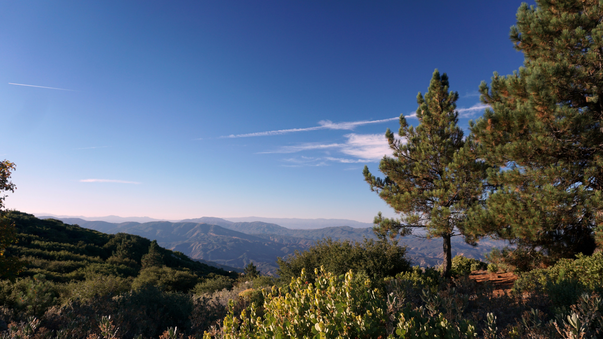
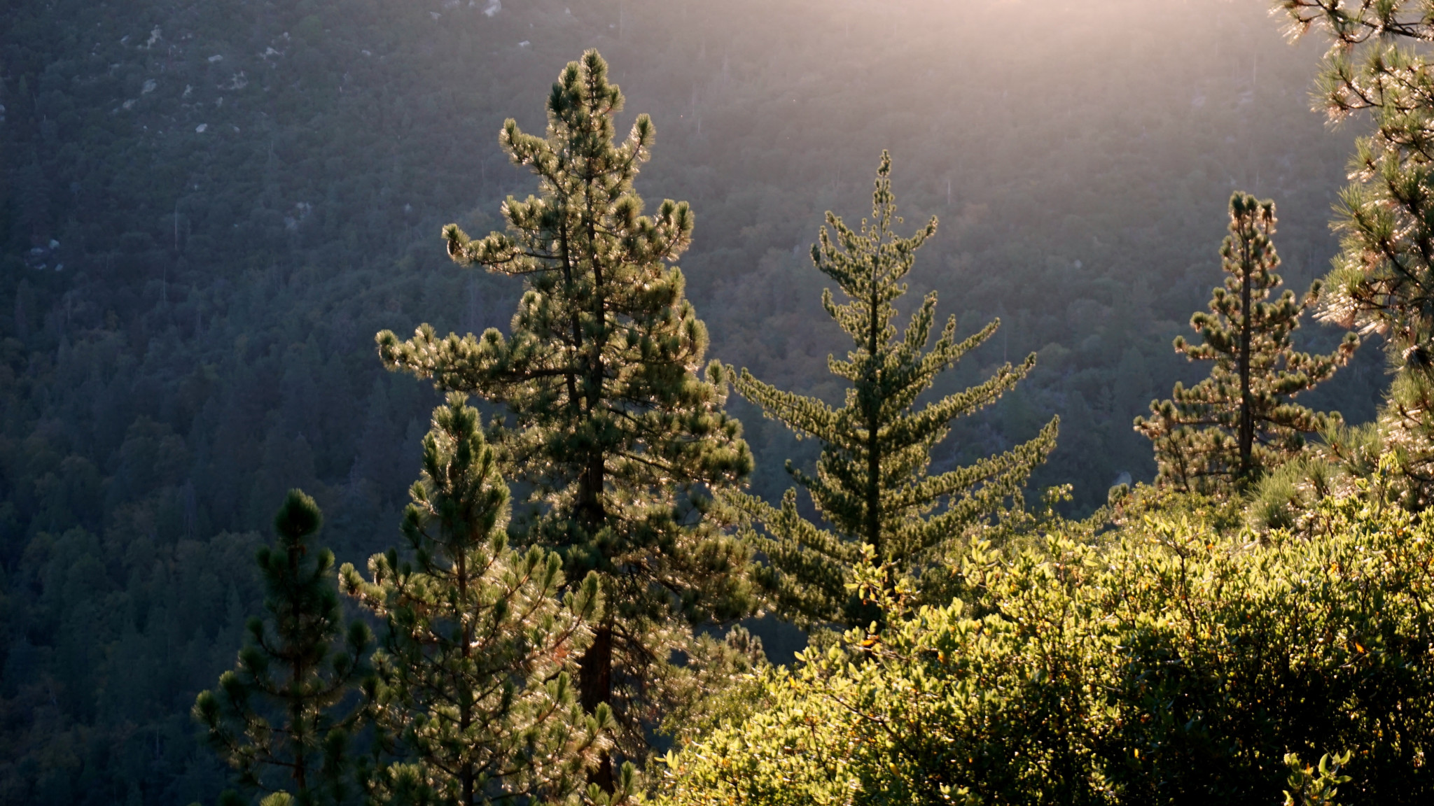
Rising up from a spur ridge unfurling from the base of Black Mountain, the Indian Mountain massif stands aloof from the highlands of the San Jacinto Mountains. The mountain sits at a lower elevation (5,790′) from the rest of the range, which both makes Indian Mountain feel like a somewhat separate area while offering great views of the San Jacintos themselves. Lightly traveled, this hike is a great opportunity for winter hiking in an area that sees many of its best hikes buried in snow. This route follows the Indian Mountain Truck Trail, an occasionally traveled OHV route that also functions as a multi-use hiking and mountain biking path. While you’re not likely to see a lot of hikers on the route, you my encounter off-road vehicles from time to time thus causing you to step off the road. Road traffic aside, you should be able to enjoy this hike and its splendid views in relative isolation. This isolation is quite a treat in an area as popular as the San Jacinto Mountains. Hikers should also note that summertime temperatures can become rather uncomfortable at this middle elevation. While you may not enjoy this hike much during the summer, the milder temperatures of winter, spring, and fall make this is an attractive option. Additionally, springtime wildflowers can be quite attractive along the route. From the Indian Vista parking area, locate an informal path leading away from the western end of the parking area. This informal path darts into the shade of live oaks to connect with the Indian Mountain Truck Trail. Once at the wide dirt road, turn left and begin following the road as it passes over a saddle on a ridge jutting away from Indian Vista. After passing a junction with a dirt road at 0.2 mile, the road begins a 1.3 mile descent to a wooded saddle. Along this descent, the trail loses 500′ of elevation, which, sadly, you will have to gain on the return journey. From the saddle shaded by stately Coulter pines, the road begins a stiff climb along the eastern slope of Indian Mountain. The road leaves t
Trail Stats
9.4 km
411 m
1762 m
1509 m
—
Photos
Trail photo
No caption provided.

Trail photo
No caption provided.

Trail photo
No caption provided.

Trail photo
No caption provided.

Trail photo
No caption provided.

Trail photo
No caption provided.
Trail photo
No caption provided.