4 min
Overview
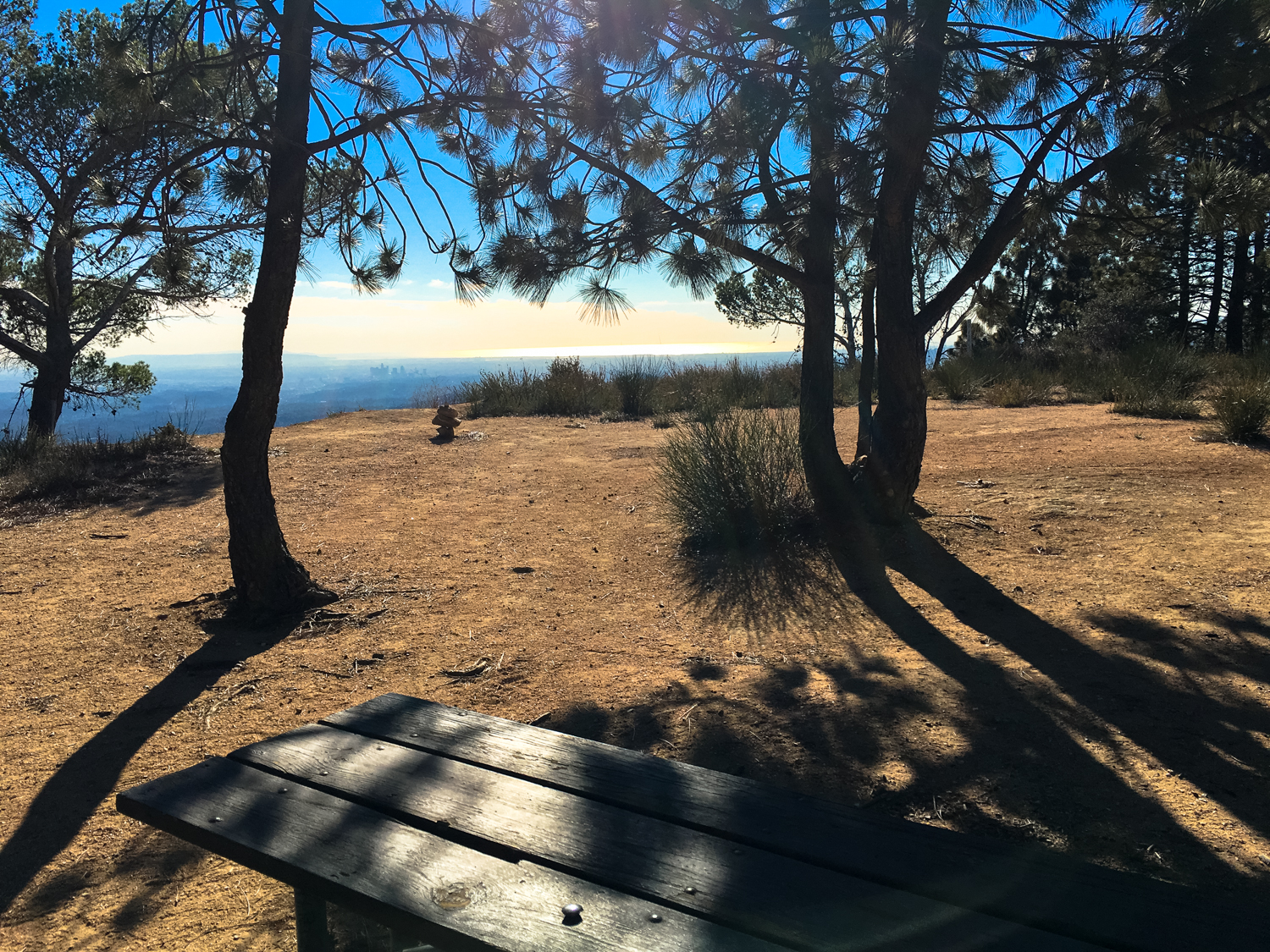
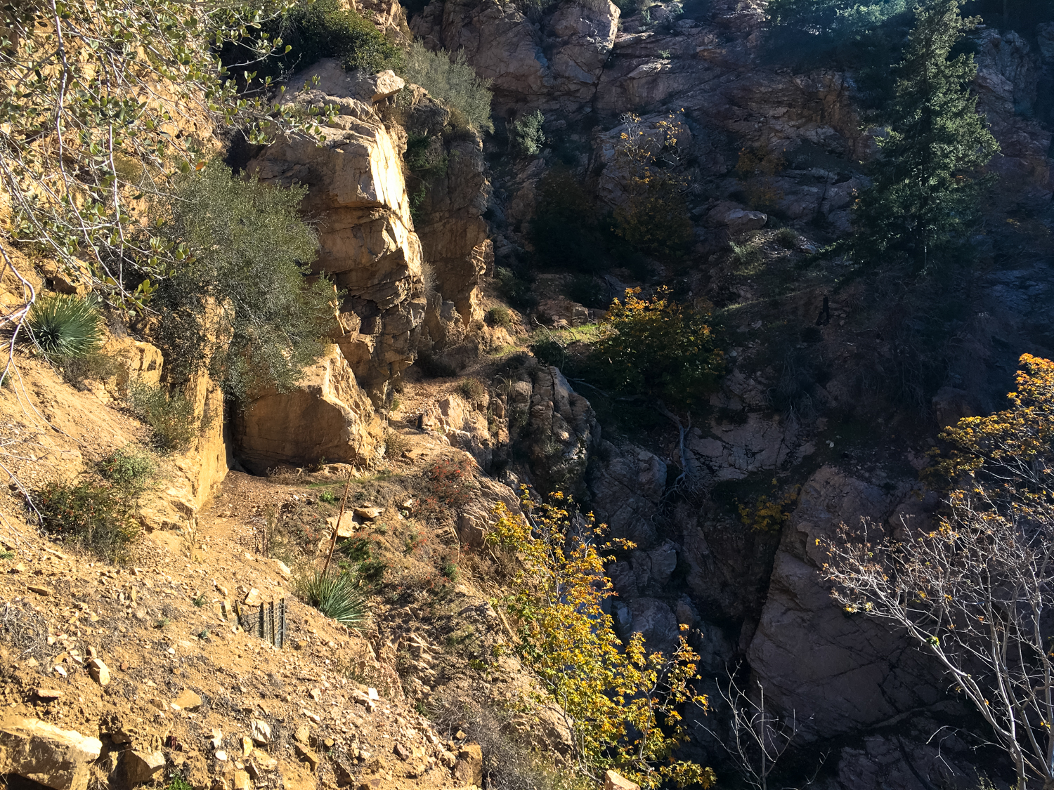
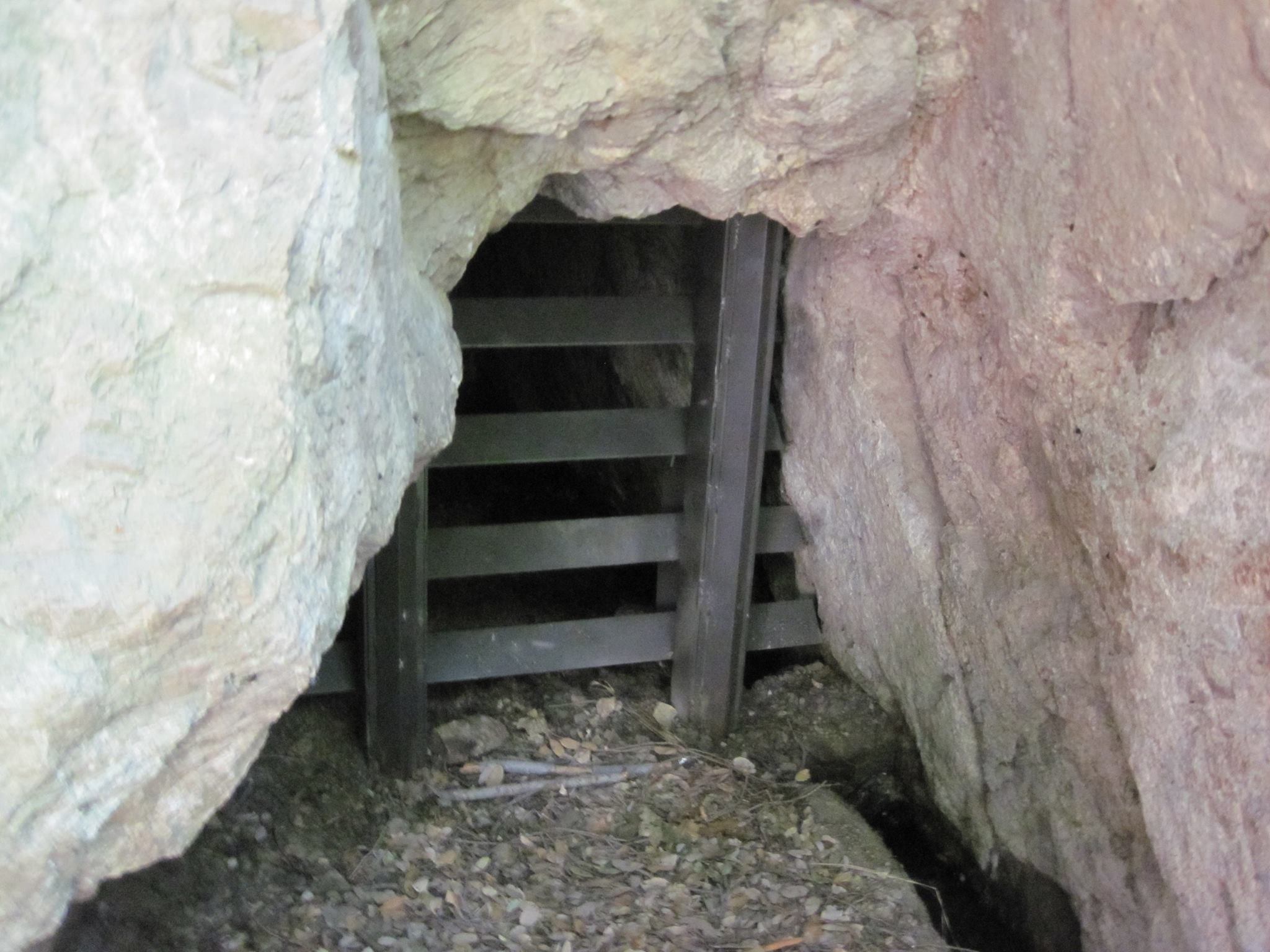
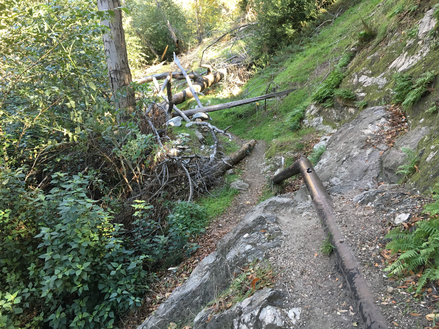
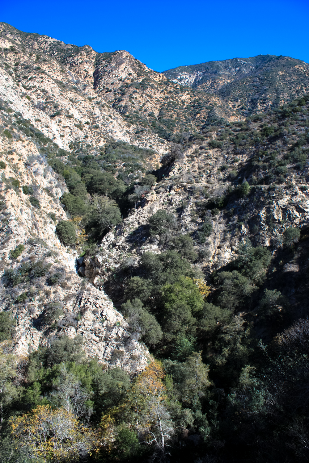
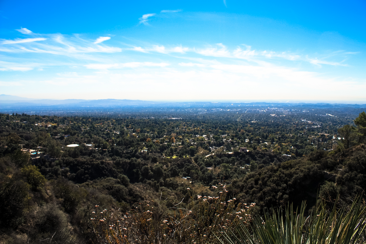
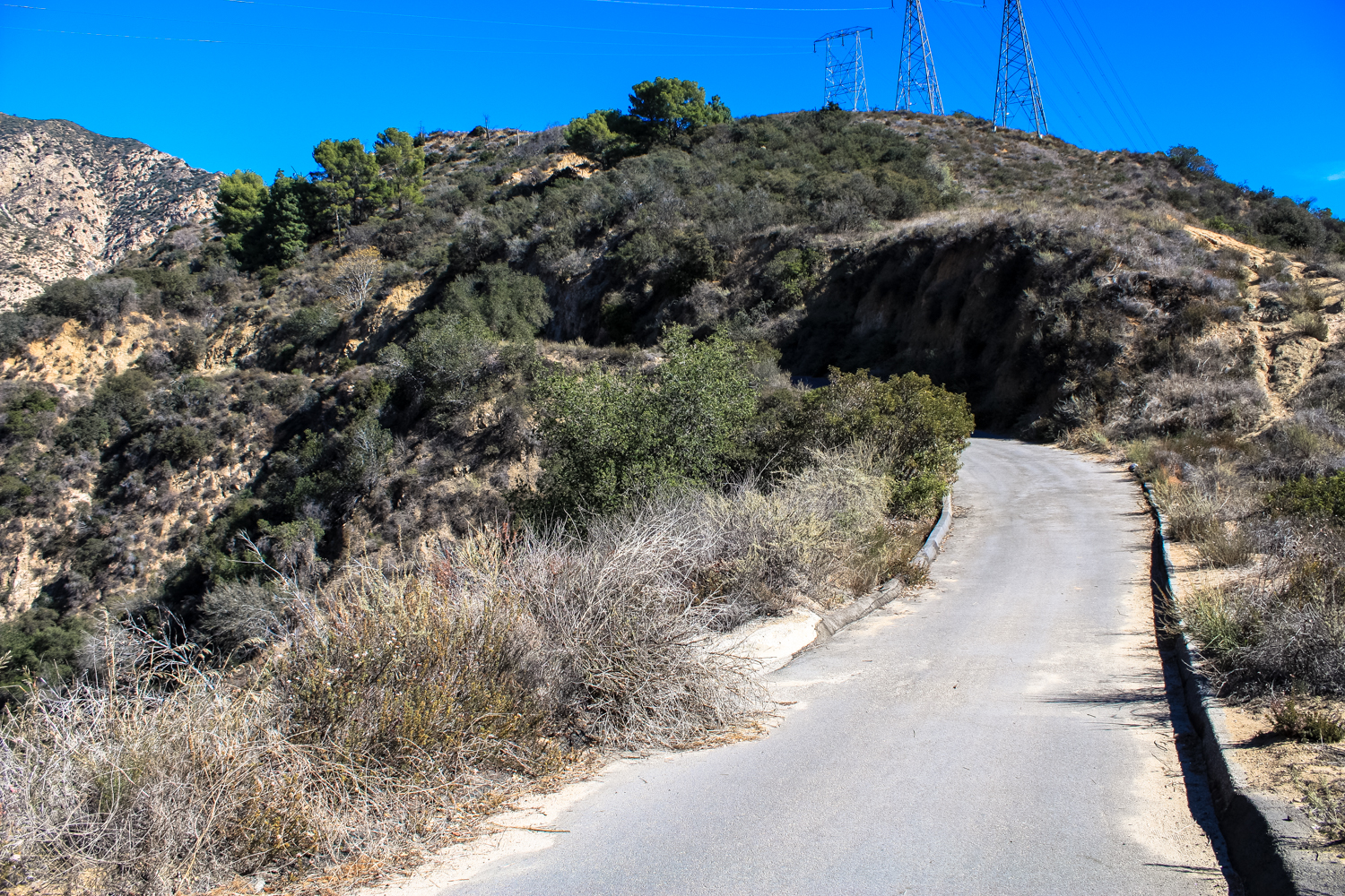
For those who think the Los Angeles region is devoid of history, the trails in the front range of the San Gabriel Mountains offer a resounding riposte. You can trek along ancient trade and communication routes near the Arroyo Seco traveled by the Gabrieleno and Tongva tribes thousands of years before European settlers arrived, visit active pack mule stations and the oldest U.S. Forest Service structure in its original location, trek to the ruins of a series of sprawling mountaintop hotels connected by impossible railways, and stand where Cold Warriors manned a ring of early-response stations to (ostensibly) protect L.A. from a nuclear strike from those dang Commies across the Pacific. Of course, mining is an important part the history of the West, and the San Gabriel Mountains are no exception. Here in upper Millard Canyon, above the cities of Pasadena and Altadena, hikers can trek through a rugged and rustic riparian canyon to the ruins of the Dawn Mine — an operation that, unlike most in this region, was actually mildly successful for a short time. Along the way, you’ll have lovely shade, tackle a tough climb, and (if the air is clear) soak in some tremendous views of the foothill cities from a lofty perch along one the historic Mount Lowe Railway. Not bad for a 6-ish mile day hike, right? This hike starts at a pretty small trailhead near the intersection of the Chaney Trail and Mount Lowe Road. Parking here can be scarce, but if the trailhead is full don’t worry — for a bit of extra elevation gain, you can park near the much larger trailhead for Millard Canyon and trek up on the start of the Sunset Ridge Trail. (Note: a use-route may exist above Millard Canyon Falls that will reach the canyon portion of this route, but at the time of writing this canyon was still being worked on by Forest Service and volunteer trailbuilding crews, repairing damage done by the 2009 Station Fire and subsequent mudslides.) Look for this gate and be sure you’re not parked in the striped area — this road is still active and you’r
Trail Stats
9.7 km
455 m
1097 m
637 m
—
Photos
Trail photo
No caption provided.

Trail photo
No caption provided.
Trail photo
No caption provided.

Trail photo
No caption provided.

Trail photo
No caption provided.
Trail photo
No caption provided.

Trail photo
No caption provided.

Trail photo
No caption provided.

Trail photo
No caption provided.

Trail photo
No caption provided.
Trail photo
No caption provided.
Trail photo
No caption provided.

Trail photo
No caption provided.

Trail photo
No caption provided.

Trail photo
No caption provided.

Trail photo
No caption provided.

Trail photo
No caption provided.
Trail photo
No caption provided.

Trail photo
No caption provided.

Trail photo
No caption provided.
Trail photo
No caption provided.
Trail photo
No caption provided.

Trail photo
No caption provided.