3 min
Overview
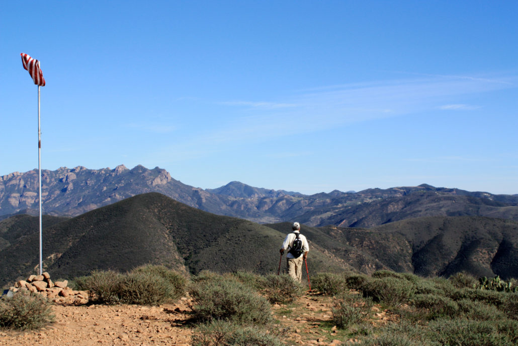
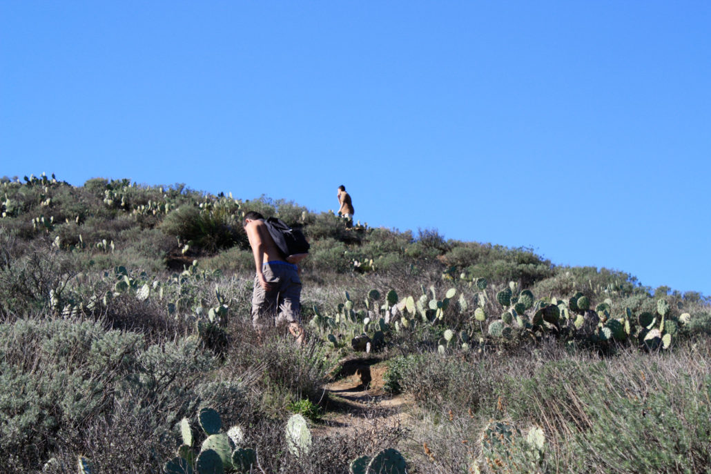
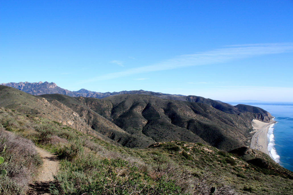
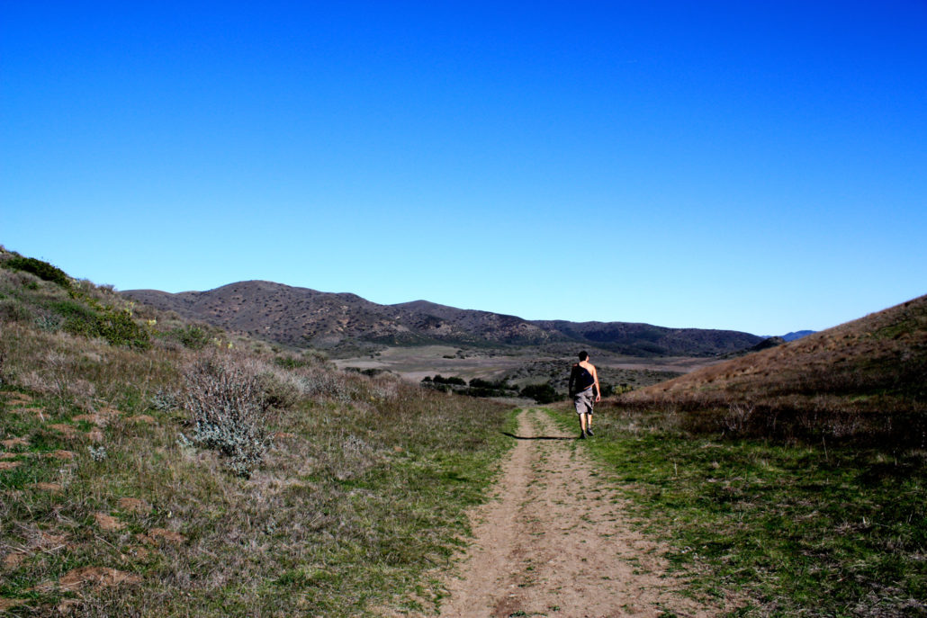
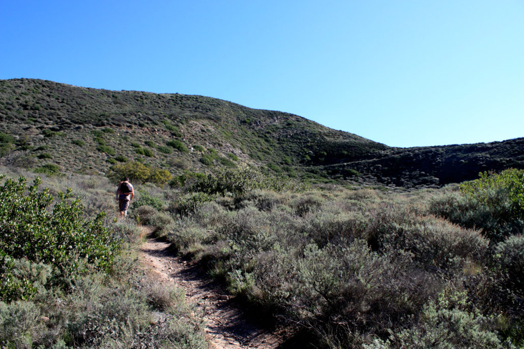
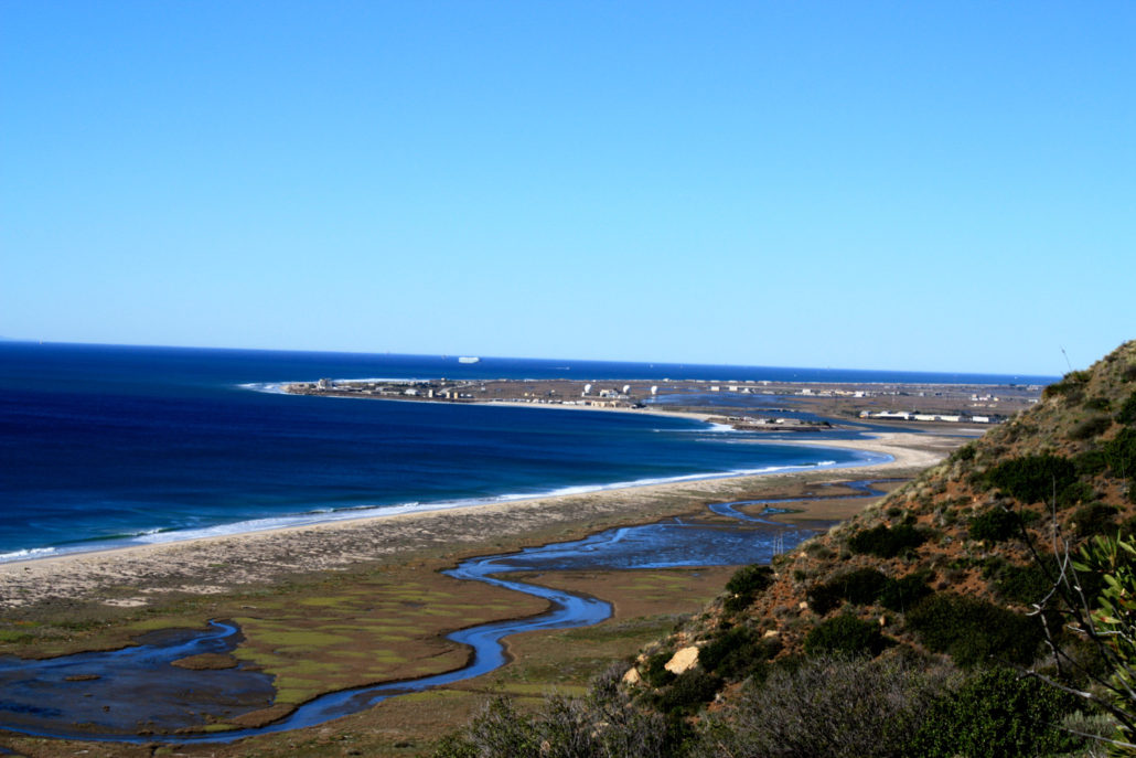
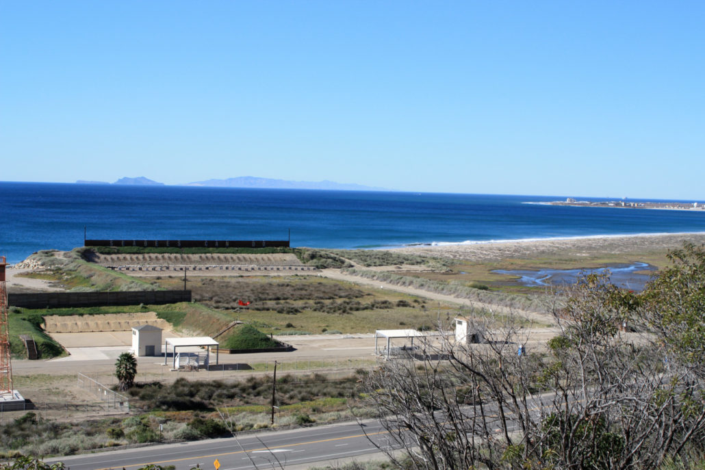
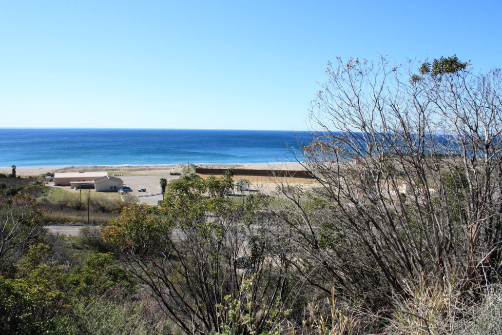
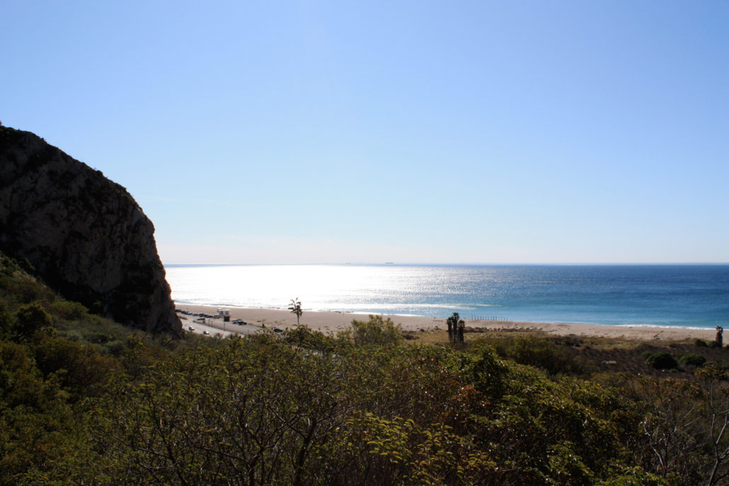
A very pleasant 5+ mile hike in the southern part of Point Mugu State Park. Low rolling mountains, sweeping meadows of native grass, spectacular coastal views, and a few sections of steep ascent make this a great way to spend a morning. Highly recommended in the spring. 5/28/13 – This area was badly burned in the Springs Fire in May of 2013. Official trails are open to hikers but may be closed depending on safety and erosion. Please check with rangers before you head here to make sure the route you’d like to do is open. Point Mugu State Park stretches from Newbury Park in Ventura County through some of the most majestic parts of the Santa Monica Mountains, all the way to the Pacific Ocean. It’s one of my favorite places to hike in Southern California, for its uniquely Californian landscape, stretches of rare native grassland, and extensive trail system. This loop around Mugu Peak starts on the southern end of the park, just outside the Point Mugu Naval Academy Base. In fact, the trailhead is just across the Pacific Coast Highway from the rifle range — which you’ll occasionally hear from your hike. The dirt parking lot can be easy to miss as you’re coasting down the PCH, so be sure to slow down when you’re getting close to the Navy grounds. There’s only one trail from the parking lot, and it’s marked with a large distance sign, as well as the requisite warning about ticks (even in mid January, I spotted a handful of the bloodsuckers waiting on grass along the trail!). Tighten your laces, pull up your socks, and start climbing up the Chumash Trail. The Chumash Trail makes a pretty no nonsense ascent up the first incline, rising 870 feet in the first .65 miles. If it’s hot out, you’re going to feel this section — but it’s the steepest part of the entire loop, so don’t get discouraged. The landscape is classic coastal scrub — lots of yucca, sage, and grasses. The ground is a bit loose on this section, and the fact that it’s so steep here doesn’t won’t help you keep your footing. Just take it slow, and be sure to lo
Trail Stats
8.5 km
382 m
384 m
1 m
—
Photos
Trail photo
No caption provided.
Trail photo
No caption provided.
Trail photo
No caption provided.
Trail photo
No caption provided.
Trail photo
No caption provided.
Trail photo
No caption provided.
Trail photo
No caption provided.
Trail photo
No caption provided.
Trail photo
No caption provided.
Trail photo
No caption provided.
Trail photo
No caption provided.
Trail photo
No caption provided.
Trail photo
No caption provided.
Trail photo
No caption provided.