3 min
Overview
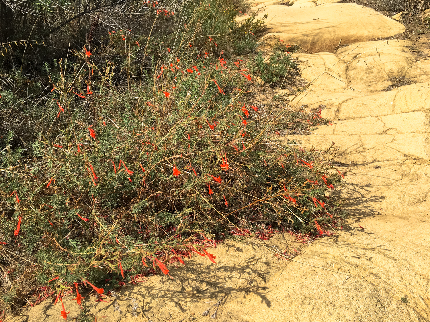
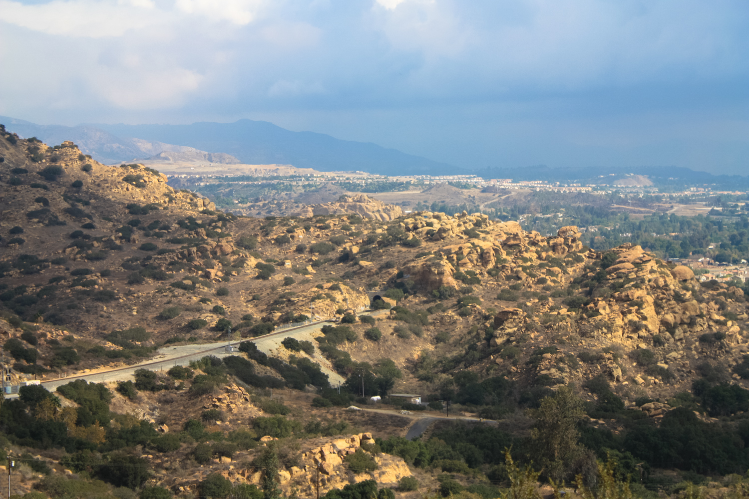
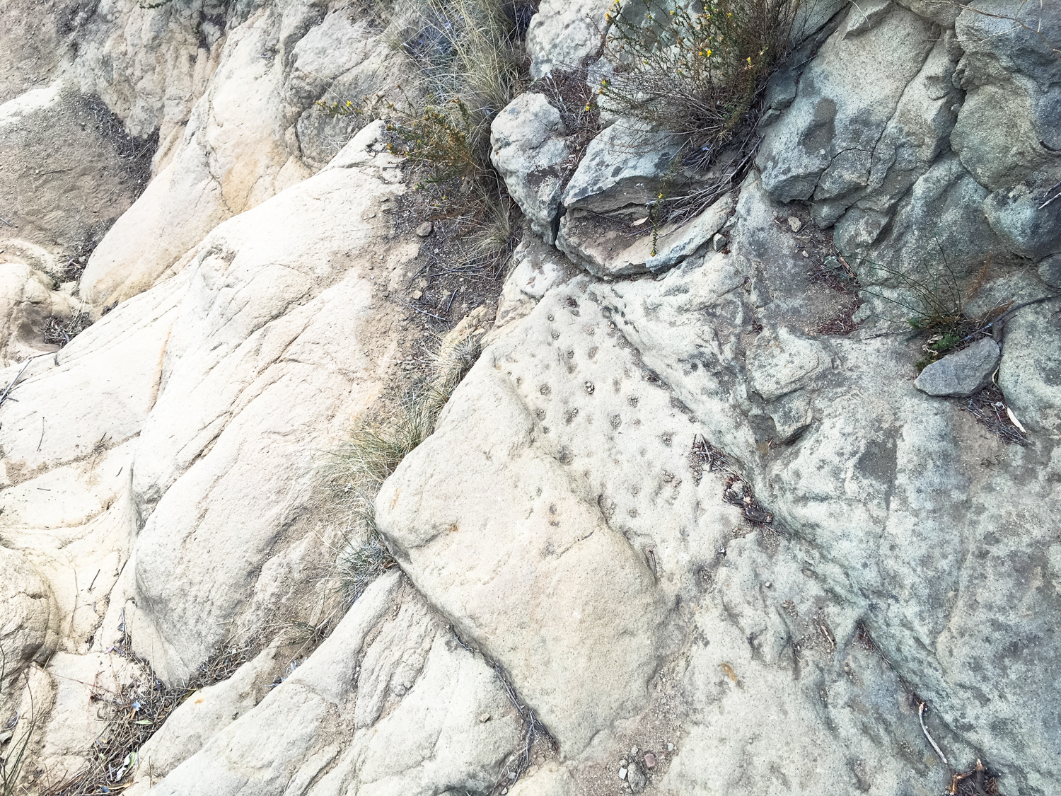
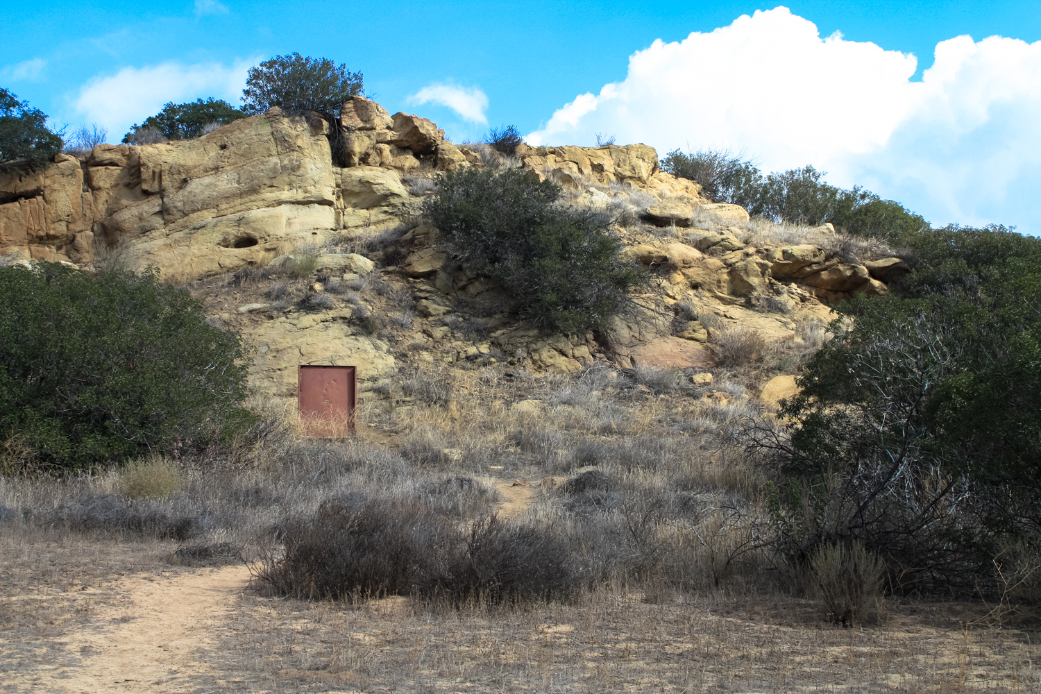
History of Santa Susana Pass Santa Susana Pass State State Historic Park sits in the northwestern corner of the City of Los Angeles, its status as a borderland drenched in history. Here, a narrow, rocky pass between the Simi Hills and Santa Susana Mountains has been an important corridor of trade and travel for generations. This was a major trade route between the Tongva of modern day Los Angeles County and Tataviam tribes to the north and Chumash to the west. Spanish colonial governors cut a rough-and-tumble wagon road into the rock here to connect the network of missions. Americans improved the road later (and here, the word “improved” is to be taken with a grain of salt) and for a time this was the primary land route between San Francisco and Los Angeles. The route was traveled by the Butterfield Overland Mail Route — the first transcontinental mail system. Later on, one of the country’s most notorious cults launched a spree of murders in at attempt to incite apocalyptic race wars here, too. Today, the park is a surprisingly rugged and stunningly beautiful region at the edge of Los Angeles, with easy and challenging hiking, biking, and horseback riding routes that can be enjoyed during the cooler months. There is almost no shade in this park, and the combination of full sun and steep climbs doesn’t necessarily lend itself to fun hiking in hot weather. Begin your hike in Santa Susana Pass Park along Andora Avenue and look for the entrance in the southern portion of the park. Note the signs designating this an archeological resource area — stick to the established trails. Although this should go without saying, leave everything exactly where you found it. The region’s rich history means there are lots of artifacts here that may still have yet to be discovered by archaeologists! The first 0.3 mile of the route follows a seasonal arroyo turned into a drainage ditch. Some old growth oaks and sycamores peek out from the non-native trees planted by ranchers, but after the 0.3 mile mark you’ll start to see some of t
Trail Stats
8.6 km
383 m
497 m
292 m
—
Photos

Trail photo
No caption provided.

Trail photo
No caption provided.

Trail photo
No caption provided.

Trail photo
No caption provided.
Trail photo
No caption provided.

Trail photo
No caption provided.
Trail photo
No caption provided.
Trail photo
No caption provided.

Trail photo
No caption provided.

Trail photo
No caption provided.

Trail photo
No caption provided.
Trail photo
No caption provided.

Trail photo
No caption provided.
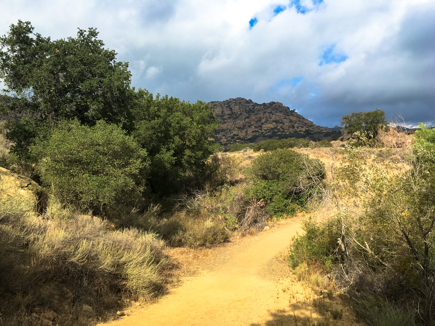
Trail photo
No caption provided.

Trail photo
No caption provided.