2 min
Overview
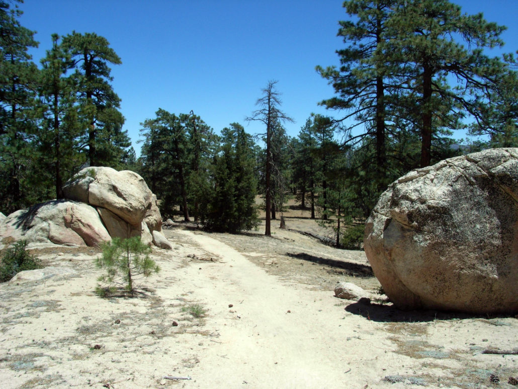
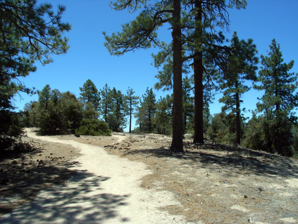
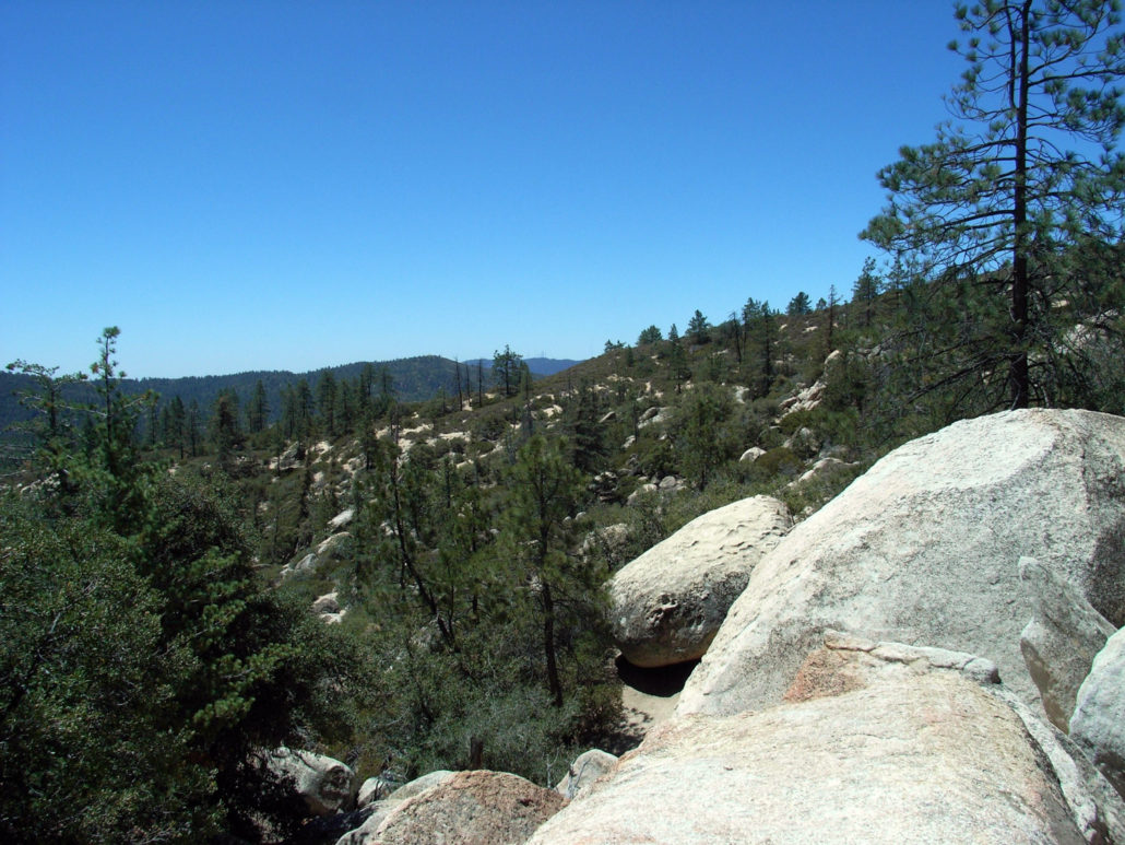
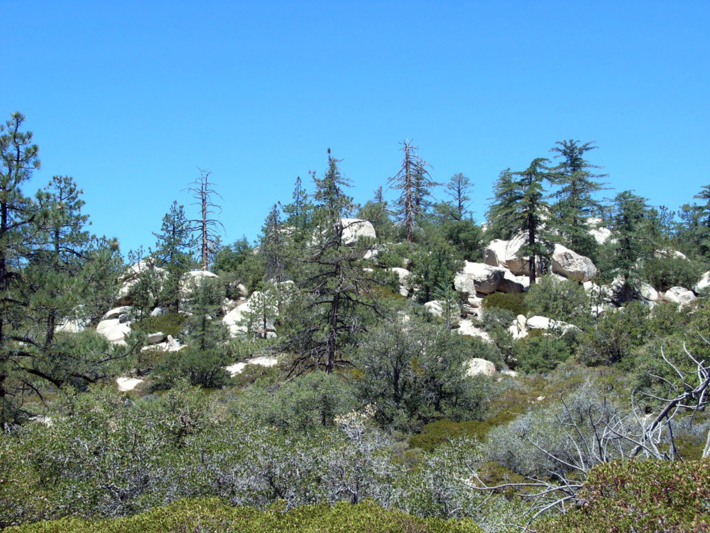
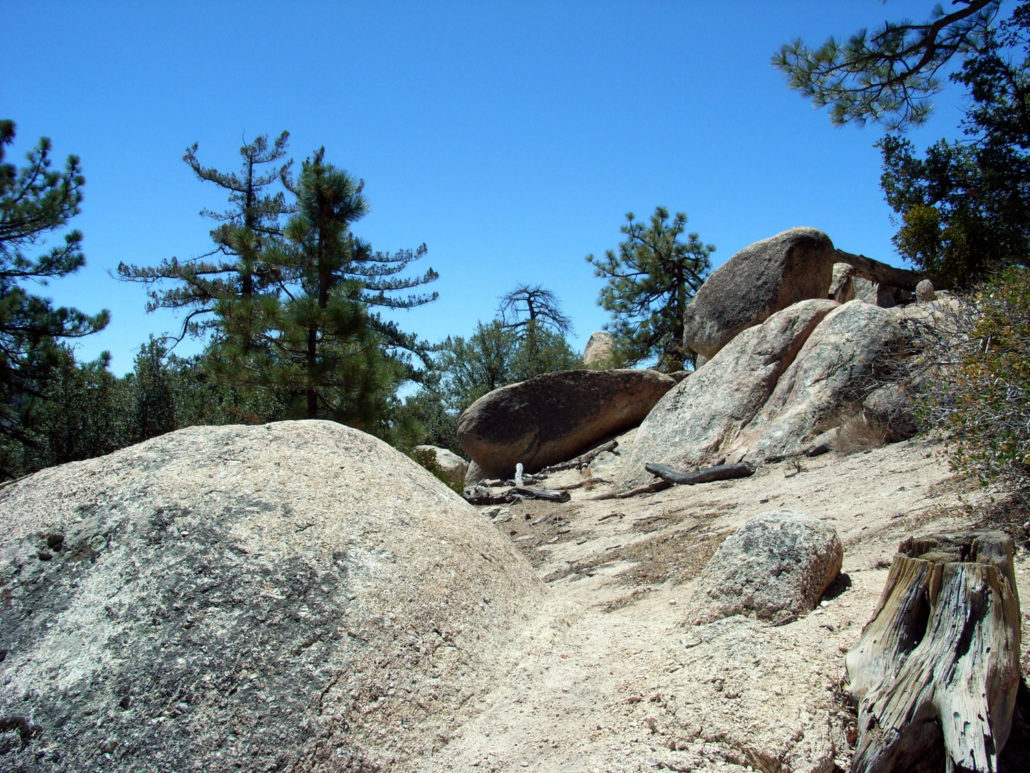
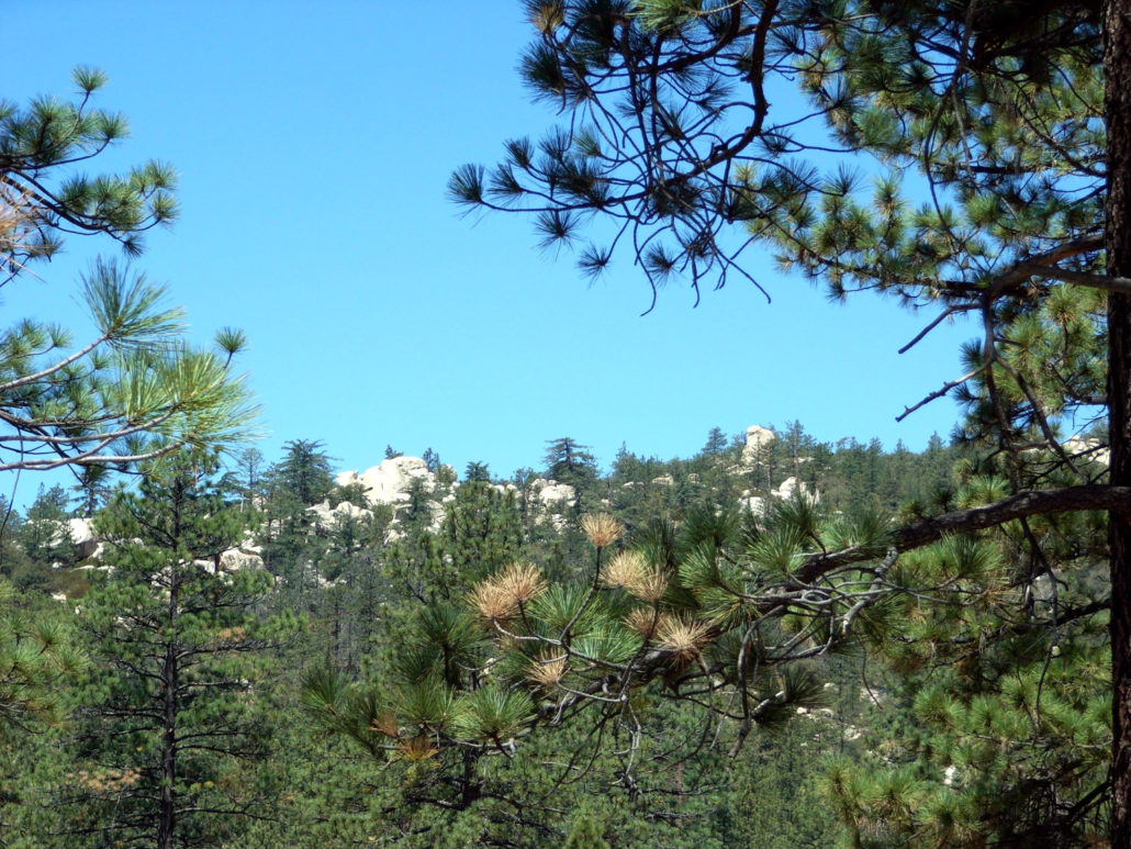
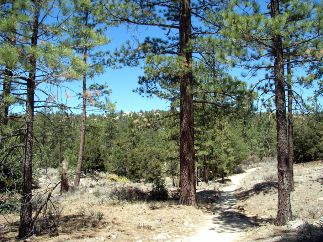
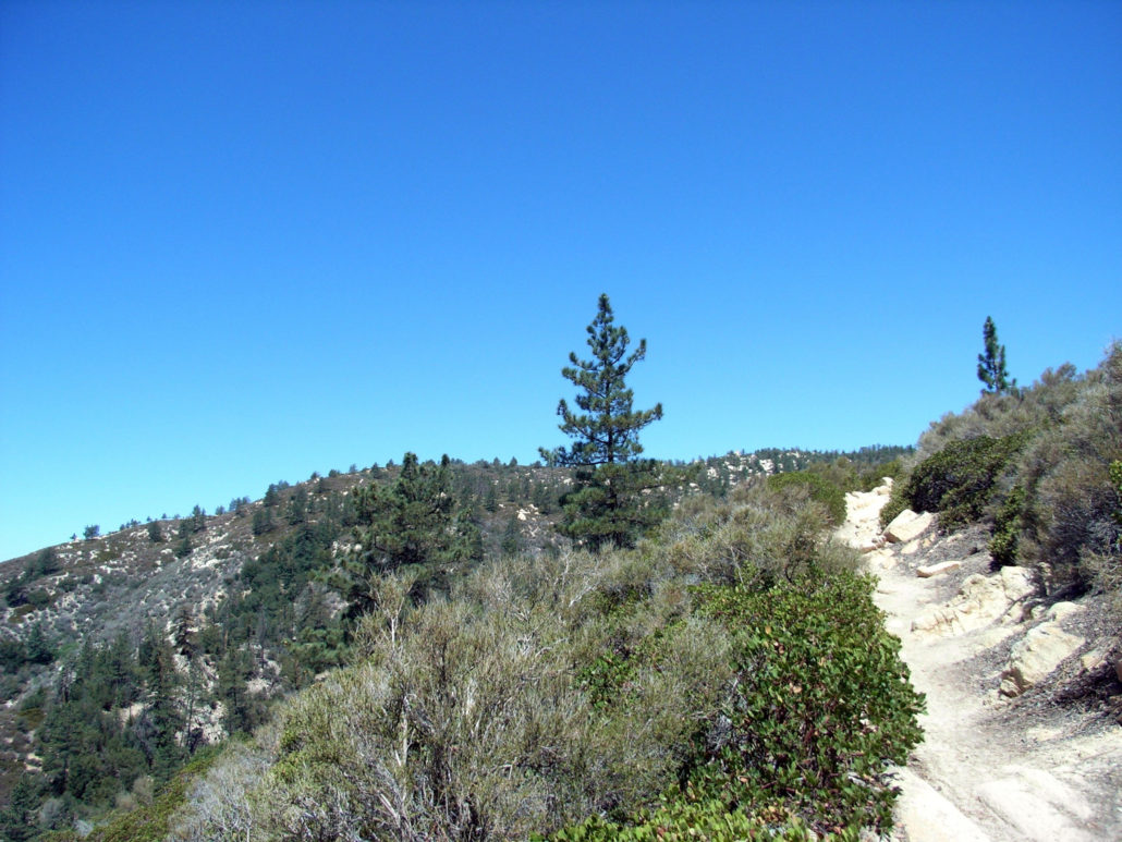
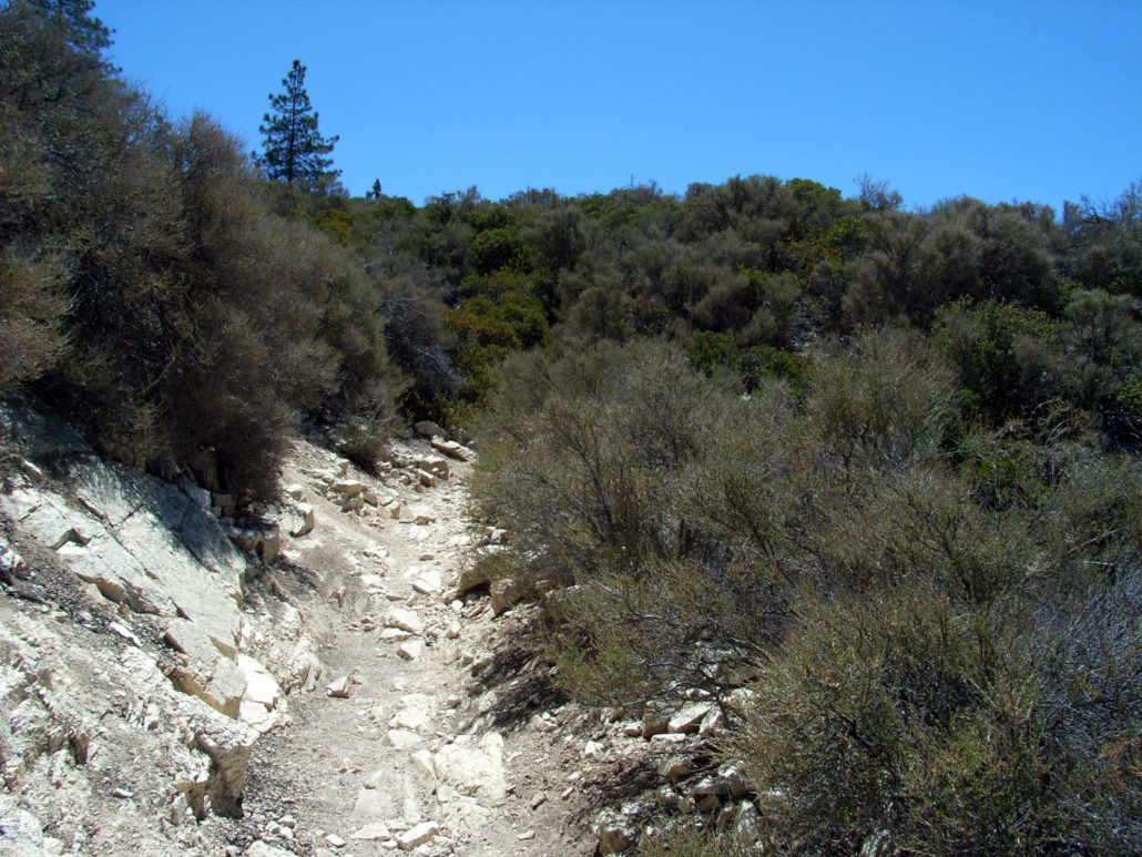
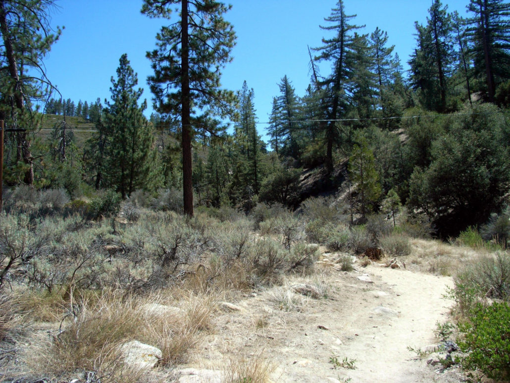
The hike to Mount Hillyer is a short, meandering trip on the Silver Moccasin Trail into an historic horsethief / freedom fighter hideout featuring plenty of incredible boulder formations, pine forests, and nice views of the interior San Gabriels. This trail starts off right next to an access road, and picks up on a short, flat, sandy stretch of the Silver Moccasin Trail, a National Recreation Trail that runs 53 miles from Chantry Flats to Wrightwood. It meanders through a short section of forest that – unfortunately – has a few telephone wires strung across it. After crossing beneath the wires, the trail starts some gentle switchbacks through low brush. The sand gives way to some uneven, rocky ground – which is much nicer to hike across. After a short stint through the shadeless chaparral, the Silver Moccasin Trail splits off into the Hillyer Trail, which makes its way through thicker stretches of pine on its way toward the summit. I wouldn’t call this trail ‘shaded’ by any means, but there are lots of chances to hide out beneath the shadow of a tree if you ever start overheating. It’s a nice place to gaze at the boulder-strewn Mount Hillyer in the distance. After treading on the outskirts of the Horse Flats Campground, the trail makes a steady ascent into Mount Hillyer itself. This place used to be an old horse thief hideout, and as you make your way through the boulder maze, it’s easy to see why. The region was most infamously used by Tiburcio Vasquez — whose name now marks Vasquez Rocks to the north of the San Gabriels. Tiburcio Vasquez In a city with a tendency to helplessly swoon over a charismatic criminal once in a while, Tiburcio Vasquez set the template. Born near Sonoma, Vasquez hated the gringos who seized California from Mexico. He fled the scene of a crime in 1854 and began his life as an outlaw, terrorizing Anglo settlers from Monterey to Los Angeles and eventually becoming the most-wanted man in California. As if playing the part in a movie, Vasquez was said to be charming, literate, musically i
Trail Stats
9.4 km
289 m
1904 m
1586 m
—
Photos
Trail photo
No caption provided.
Trail photo
No caption provided.
Trail photo
No caption provided.
Trail photo
No caption provided.
Trail photo
No caption provided.
Trail photo
No caption provided.
Trail photo
No caption provided.
Trail photo
No caption provided.
Trail photo
No caption provided.
Trail photo
No caption provided.