3 min
Overview
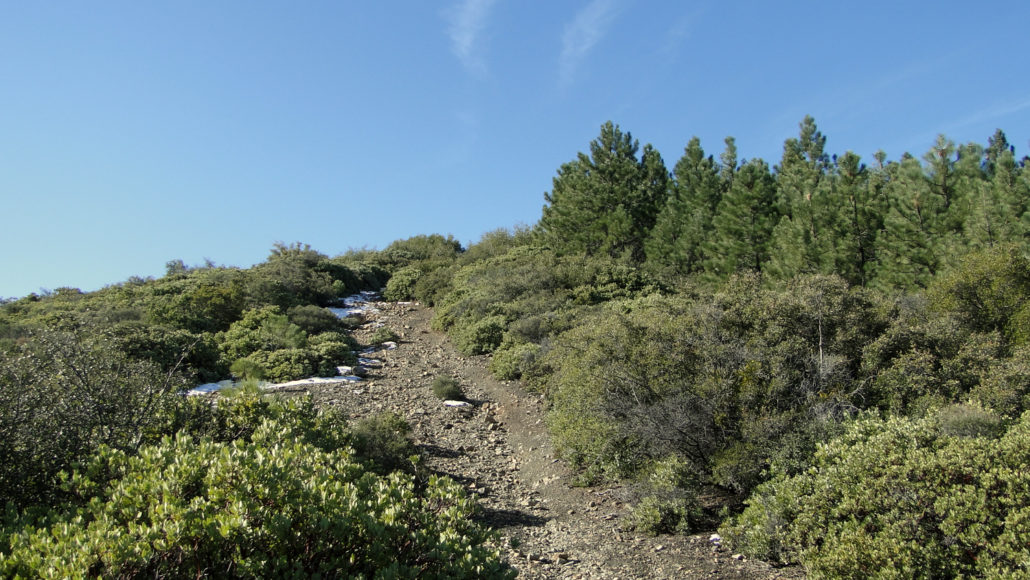
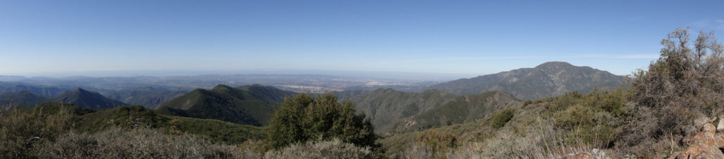
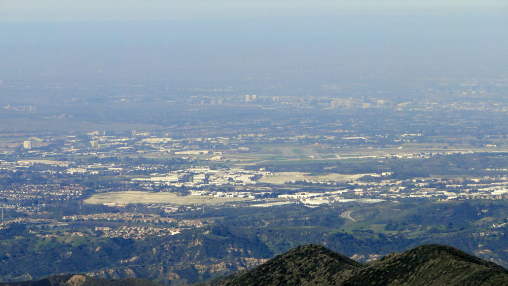
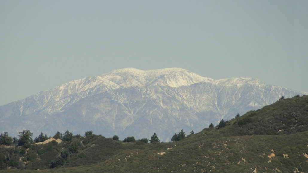
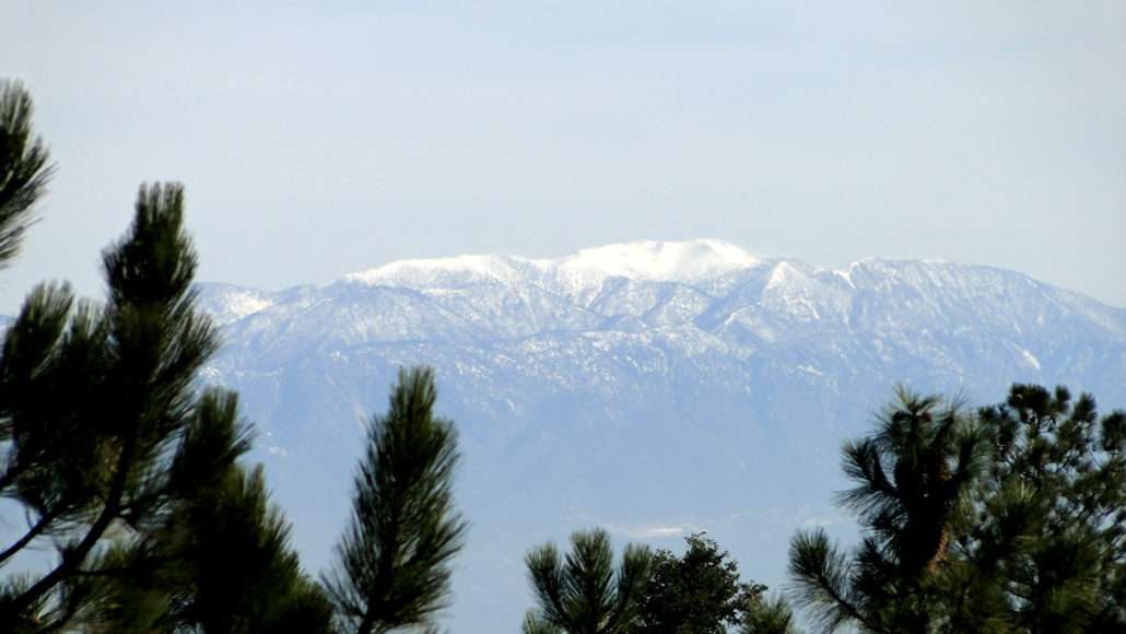
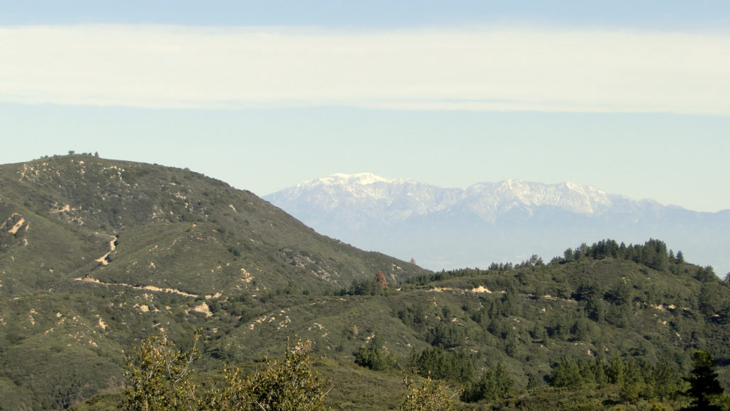
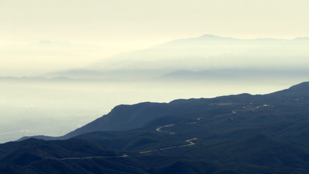
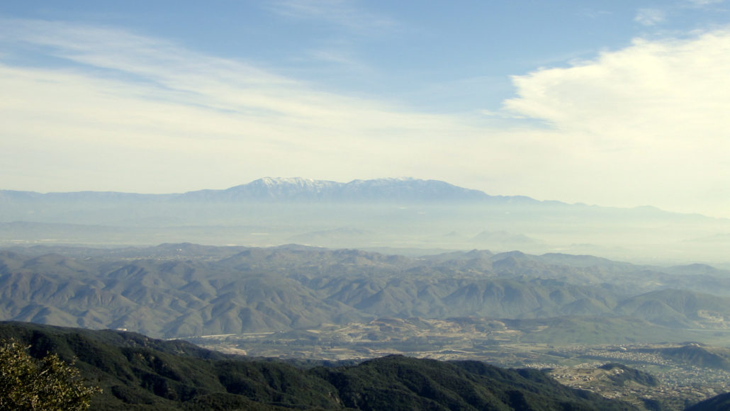
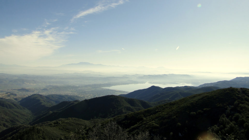
UPDATE 8/15/2018: The trails on this route have been heavily impacted by the 2018 Holy Fire. It will be quite some time before the vegetation recovers, and it is currently unknown when the trails will re-open. Los Pinos Peak is a prominent bump on a ridge branching off of the main divide of the Santa Ana Mountains. This sparsely forested peak occupies prime real estate on the northern rim of San Juan Canyon, which allows for incredible views over a plethora of Southern California landmarks. This 5.2 mile out-and-back – 4.5 if you stop at the peak – climb is a great introduction to Orange County’s highlands. Panorama looking south over the San Mate Wilderness Los Pinos Peak sits on Cleveland National Forest property in the Trabuco District of the forest. The trailhead lies along Main Divide Road adjacent to Blue Jay Campground and the trailhead for both the Old and New San Juan Trails. This region of the Forest is a hub for activity in the Ortega Highway Corridor, which also includes access to the nearby San Mateo Wilderness, Sitton Peak, and other destinations further along Main Divide Road, such as Santiago Peak, Trabuco Canyon, Modjeska Peak, and a handful of seasonal waterfalls. Santiago Peak with Trabuco Canyon in the foreground To reach the peak, begin from the small parking area at the junction of Long Canyon Road, Forest Route 3S04, and Main Divide Road. Head due west on Main Divide Road, and begin a moderate switchbacking climb up the spine of the Santa Ana Mountains. As you gain elevation, views will begin to open east, west, and south. A snow-capped Mt. San Gorgonio Looking east, you will see Mt. San Jacinto, the Desert Divide, Mt. San Gorgonio, and bits of the Inland Empire. Looking west, you will see the Orange County coastline, which will either be fogged in, hazy, or sparklingly clear. If clear, expect to see Santa Catalina Island rising up from the infinite blue of the Pacific. Looking south, you will see Sitton Peak and a sliver of the deep gorge of San Mateo County which eventually recedes in
Trail Stats
8.6 km
304 m
1375 m
1043 m
—
Photos
Trail photo
No caption provided.
Trail photo
No caption provided.
Trail photo
No caption provided.
Trail photo
No caption provided.
Trail photo
No caption provided.
Trail photo
No caption provided.
Trail photo
No caption provided.
Trail photo
No caption provided.
Trail photo
No caption provided.