2 min
Overview
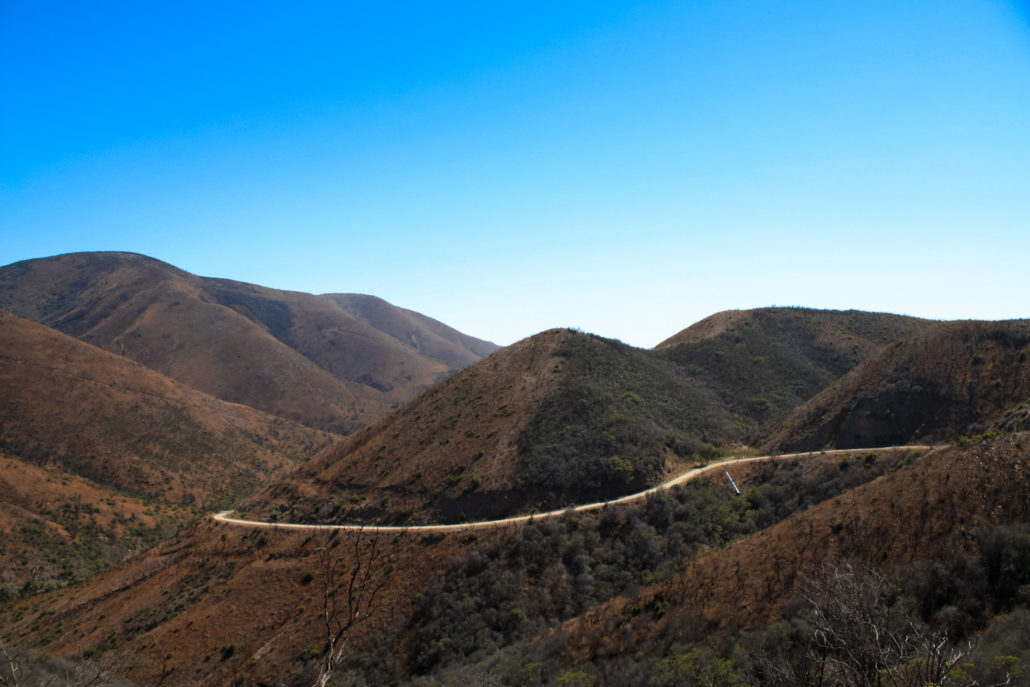
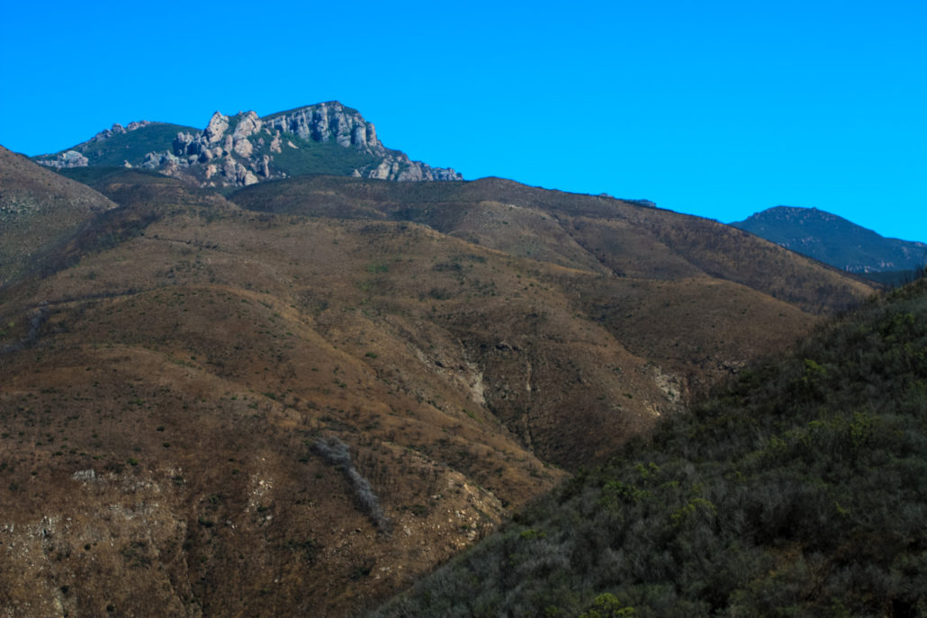
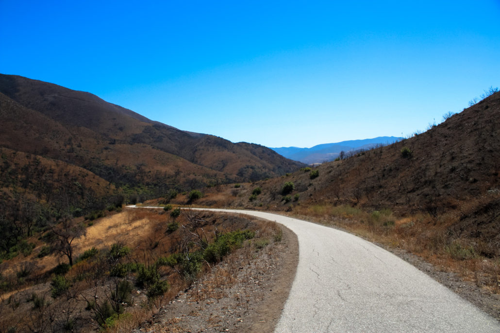
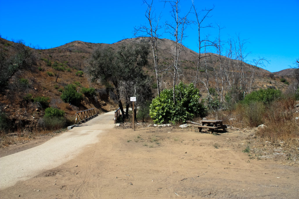
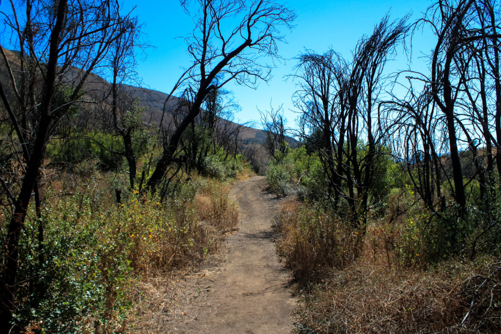
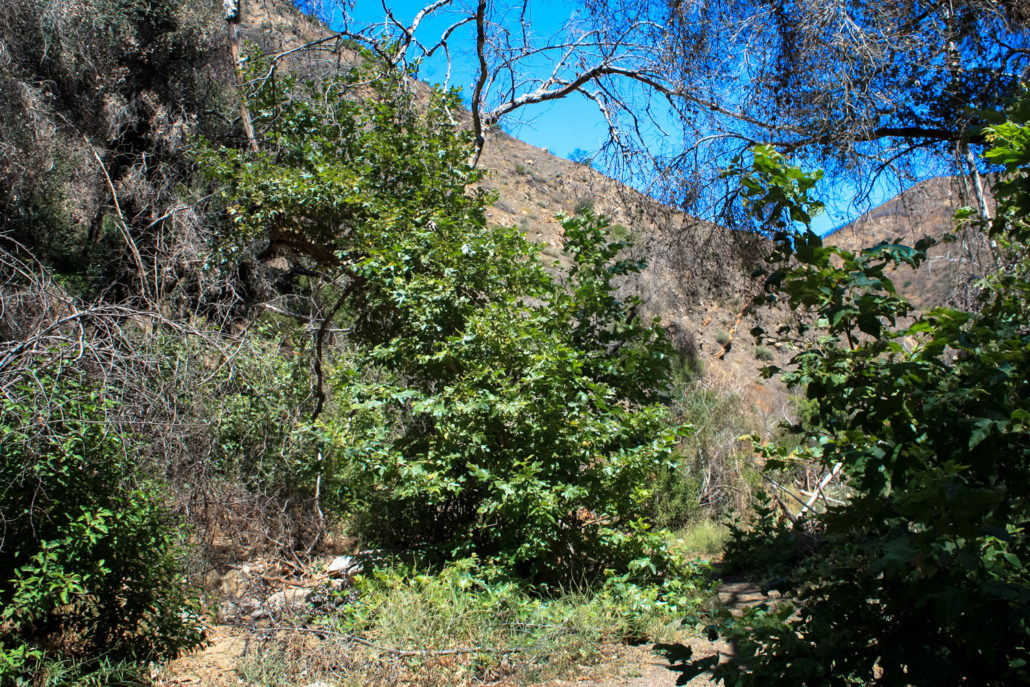
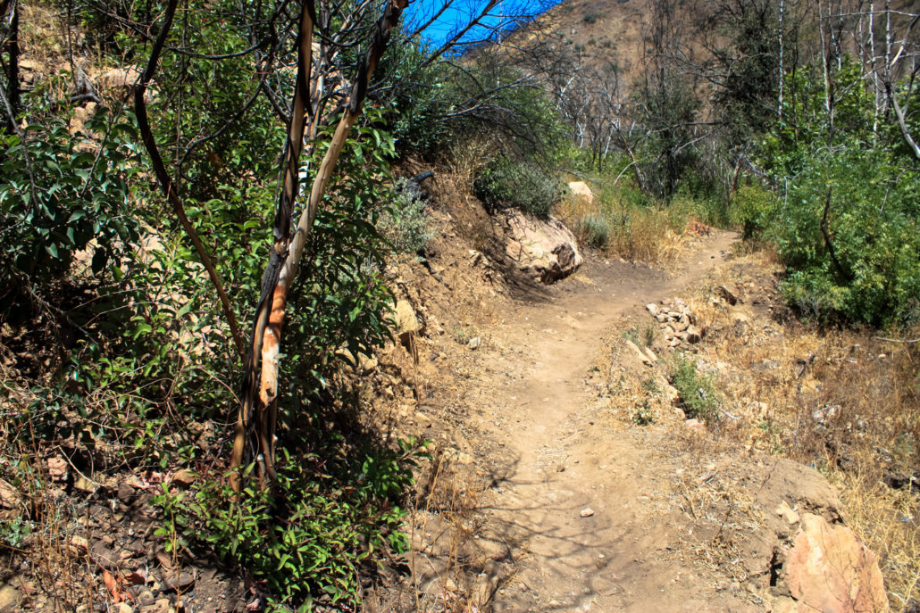
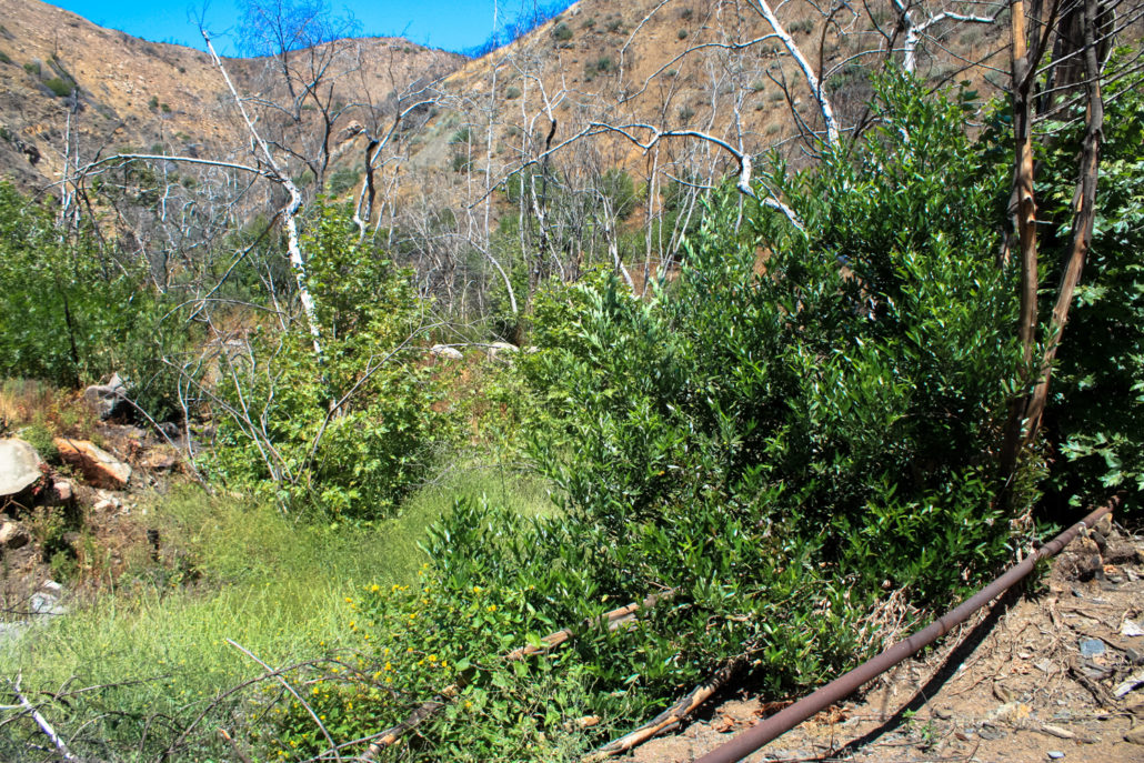
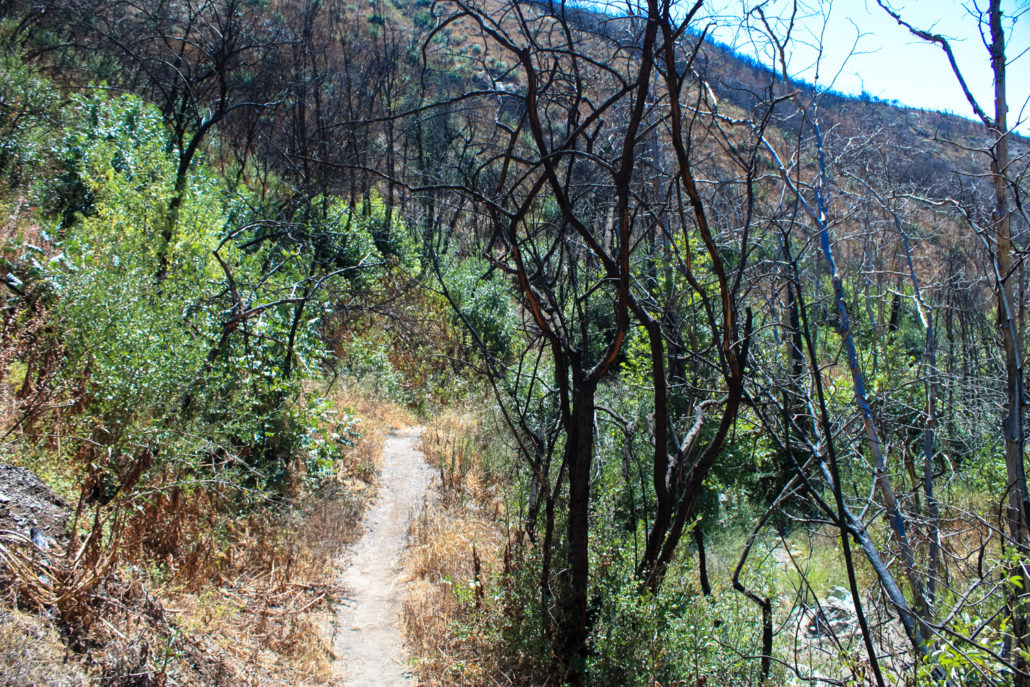
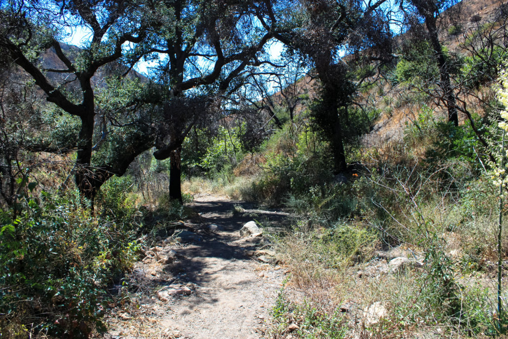
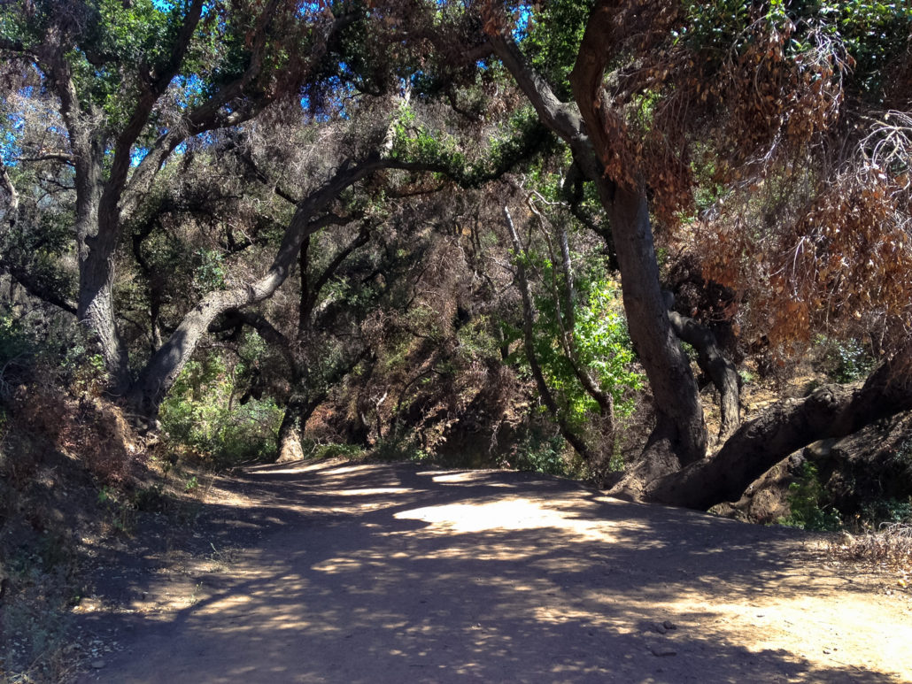
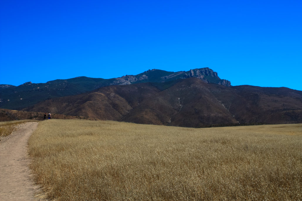
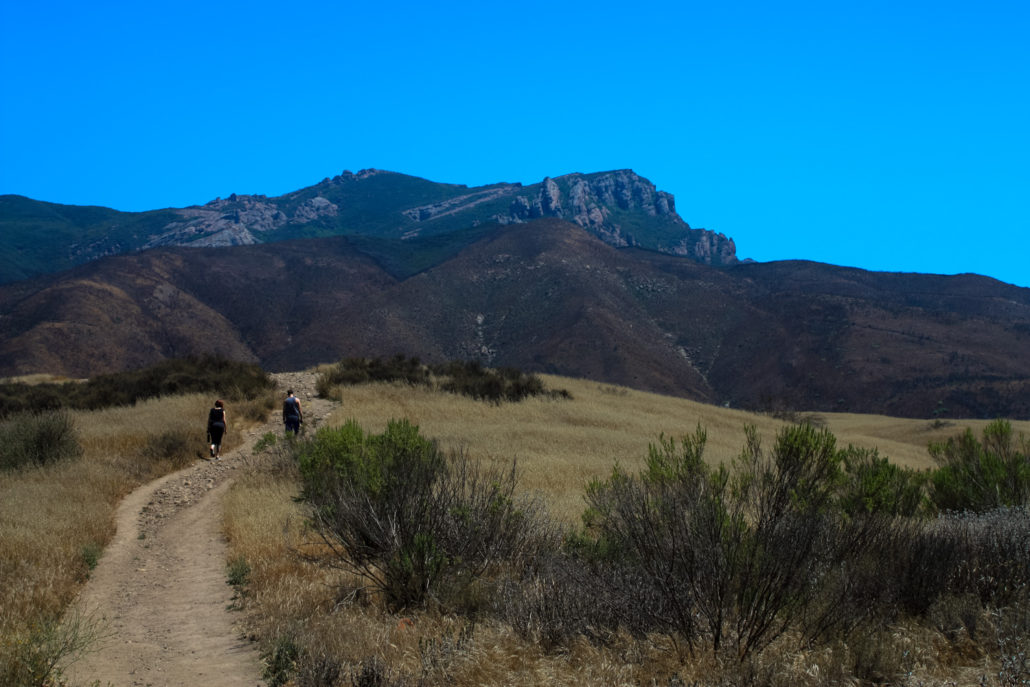
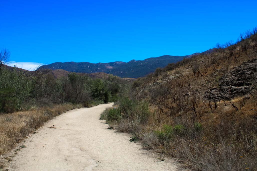
On May 2, 2013, the Springs Fire erupted near the 101 and made its way through the hills near Thousand Oaks and into Point Mugu State Park and Rancho Sierra Vista / Satwiwa. By the time the fire was extinguished, it had burned 24,238 acres of land and 12% of the total land of the Santa Monica Mountains National Recreation Area, making it the 5th largest fire in the area’s history. Luckily for outdoors lovers, the region’s park authorities were able to open the park back up to visitors again just a few weeks afterward, providing not only an invaluable opportunity to teach lessons about fire ecology to the public, but also to encourage continued use of the trail system so that trails didn’t become so overgrown or washed out that they’d have to be totally rebuilt (for contrast, the Angeles National Forest still has sections of the San Gabriels closed from the 2009 Station Fire in 2015 – and areas that were reopened years after the fire are often impassable for hikers). [pdf-embedder url=”https://modernhiker.com/wp-content/uploads/2015/07/springs-fire-area.pdf”] I visited the region right after the parks re-opened and wrote about the experience of hiking through Big Sycamore Canyon, which at that time looked like the bottom of a fire pit. Park Rangers set up a unique and groundbreaking citizen science project to document the region’s recovery and built an online map of ten different locations in the park where visitors are encouraged to take photos. On the map, you can scroll through a timeline to see how each of the views has changed since the fire. On a return visit in 2015, I found that the region still has a ways to go, but there is a vast difference between Upper Sycamore Canyon in 2013 and the same canyon in 2015. This trail begins from the lower parking lot just off the official park entrance from Potrero Road. Use the restrooms or fill up on water, then begin along the wide dirt path that passes some of the old ranch buildings on its way into the park. Even here, the effects of the fire are apparent – one s
Trail Stats
6.8 km
195 m
326 m
129 m
—
Photos
Trail photo
No caption provided.
Trail photo
No caption provided.
Trail photo
No caption provided.
Trail photo
No caption provided.
Trail photo
No caption provided.
Trail photo
No caption provided.
Trail photo
No caption provided.
Trail photo
No caption provided.
Trail photo
No caption provided.
Trail photo
No caption provided.
Trail photo
No caption provided.
Trail photo
No caption provided.
Trail photo
No caption provided.
Trail photo
No caption provided.
Trail photo
No caption provided.
Trail photo
No caption provided.
Trail photo
No caption provided.
Trail photo
No caption provided.
Trail photo
No caption provided.