2 min
Overview
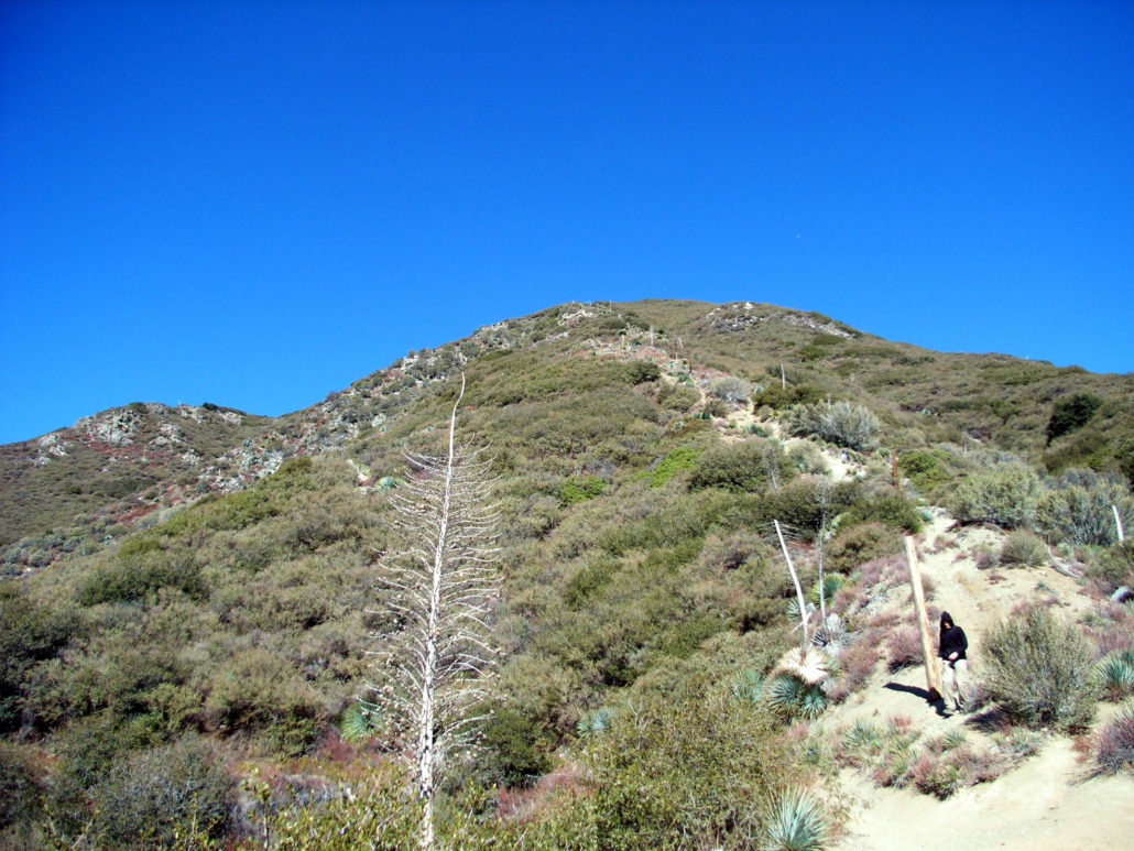
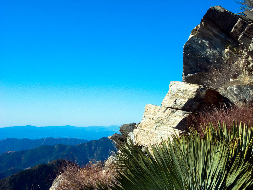
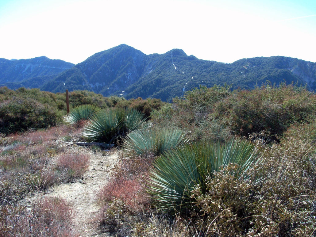
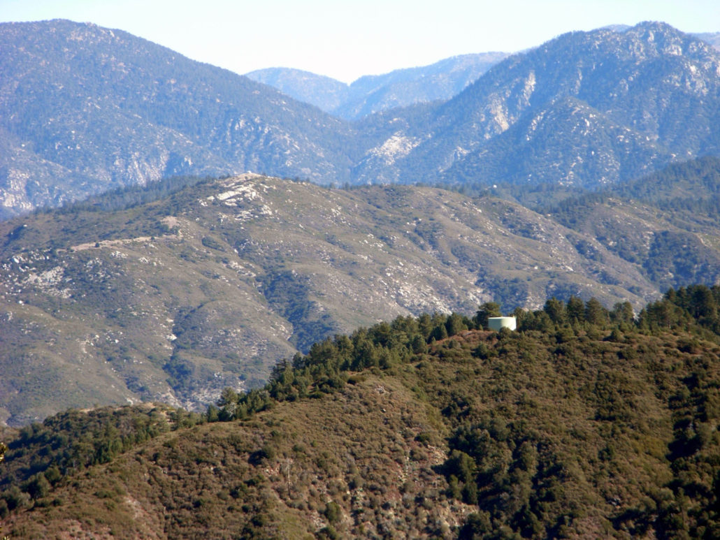
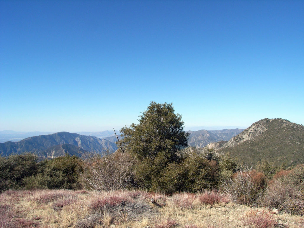
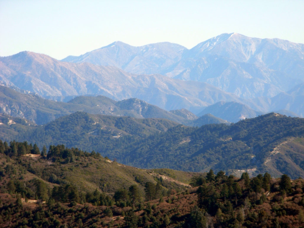
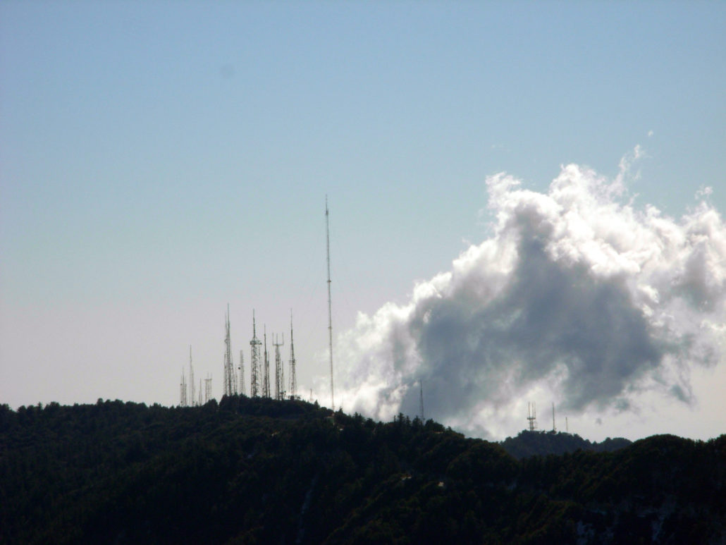
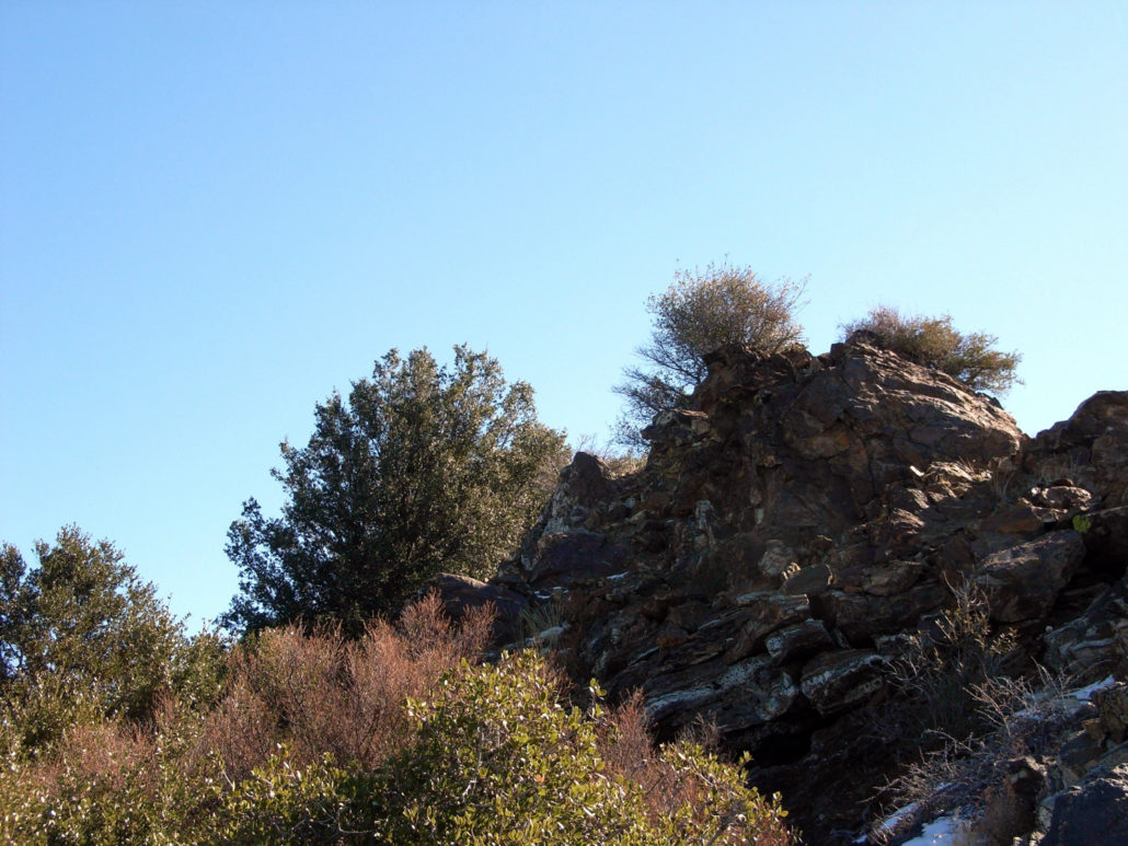
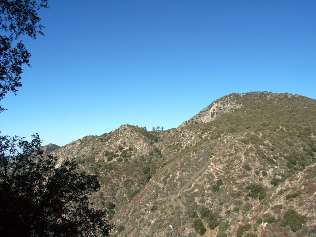
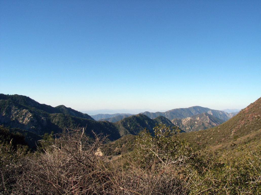
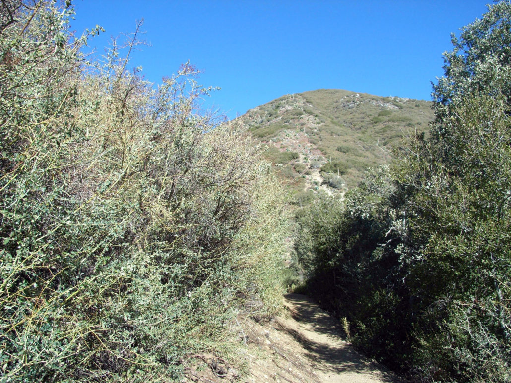
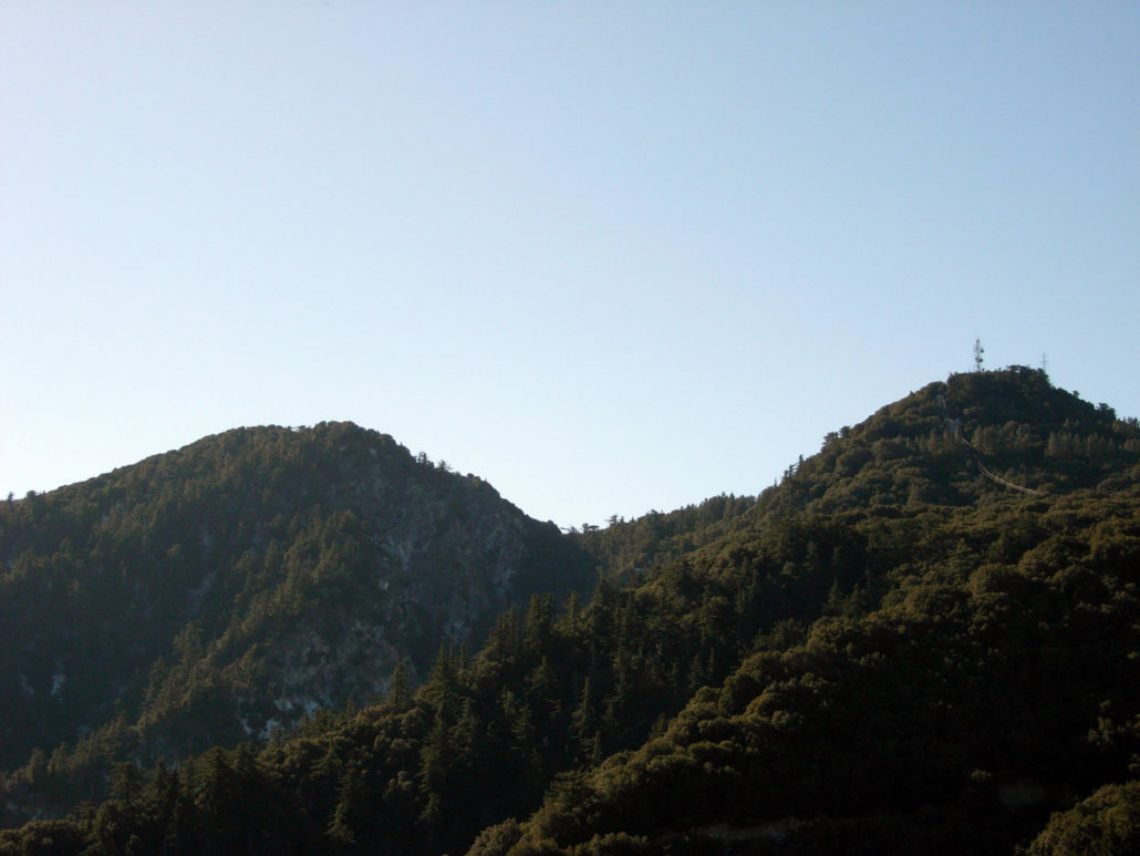
A short but rugged trip up to the top of Mount Lawlor, one of the lesser-known summits in the San Gabriels. Easily accessible, but still moderately challenging, with some light rock-scrambling and a use-trail descent if you’re feeling adventurous. NOTE: THIS TRAIL WAS DAMAGED IN THE STATION FIRE. The area has been re-opened to hikers but there may be considerable damage to the trail and it may significantly differ from this description. Please contact a ranger station for the most up to date trail conditions. I kind of get the impression Mount Lawlor gets the short end of the ‘Featured Peaks’ stick. It’s not included in either of the printed guide books I use for the San Gabriels, not featured on many other web sites … nothin. To its south, the big draw is the car-accessible and ‘big name’ of Mount Wilson (that’s where the news has their dopplers!). To the east, the allure of the old Nike missile site at Barley Flats. And just to the west, the imposing and challenging rock climbing face of Strawberry Peak. But Lawlor is definitely worth doing – on its own or as part of a larger trip. We parked at Red Box, suited up and crossed the street to the trailhead. This trail began paralleling the Angeles Crest Highway, and with the car noise and frequent power / telephone line crossings it’s a bit tough to feel like you’re away from the rest of civilization. But the trail moved quickly, and soon we were emerging from some ‘brush tunnels’ to our first views of Mount Lawlor – a slightly-unremarkable mound peeking out from the greenery: There’s a saddle right at the base of the southern face of the mountain at the 1 mile mark, and you can make out a straightforward – and relentlessly vertical – use-trail following the route of an old telegraph wire. It also looked well-populated with Spanish Bayonets so I suggested we continue on the proper trail to the west side of the mountain. The trail had plenty of tire tracks on it – moreso than footprints, it seemed. And sure enough, the only people we saw on the way were two mounta
Trail Stats
7.1 km
366 m
1797 m
1426 m
—
Photos
Trail photo
No caption provided.
Trail photo
No caption provided.
Trail photo
No caption provided.
Trail photo
No caption provided.
Trail photo
No caption provided.
Trail photo
No caption provided.
Trail photo
No caption provided.
Trail photo
No caption provided.
Trail photo
No caption provided.
Trail photo
No caption provided.
Trail photo
No caption provided.
Trail photo
No caption provided.
Trail photo
No caption provided.
Trail photo
No caption provided.
Trail photo
No caption provided.