2 min
Overview
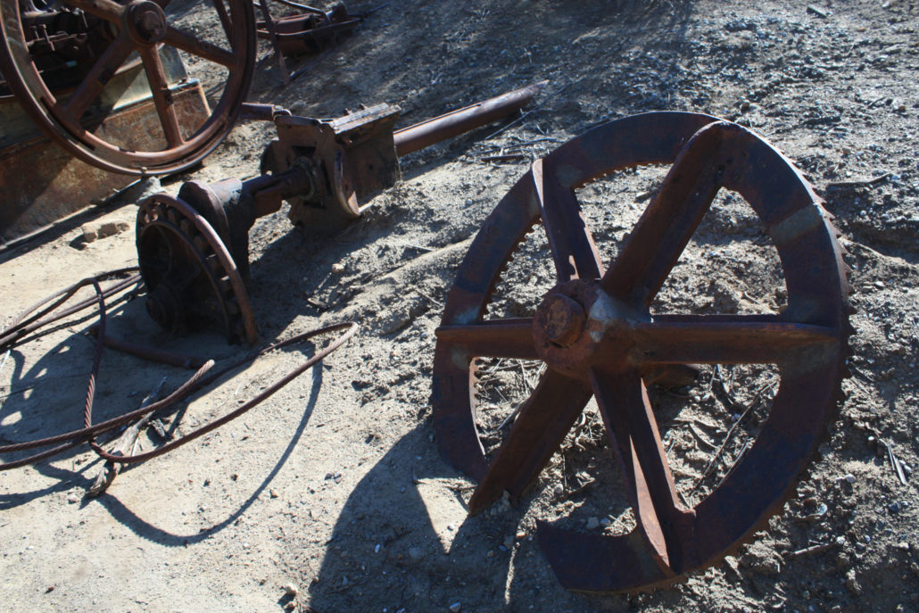
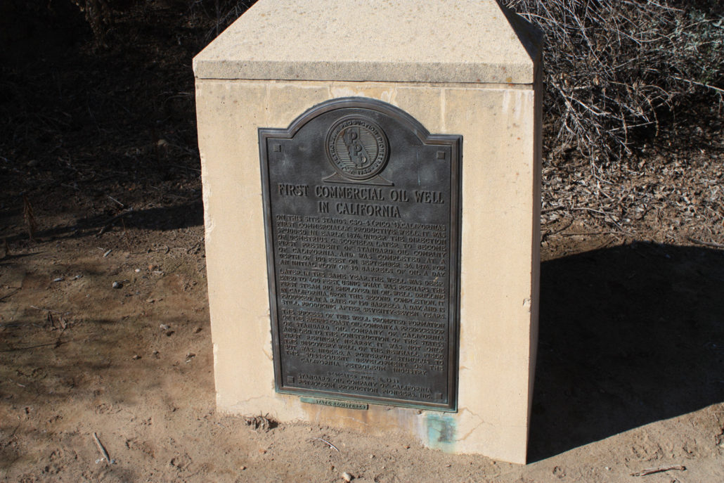
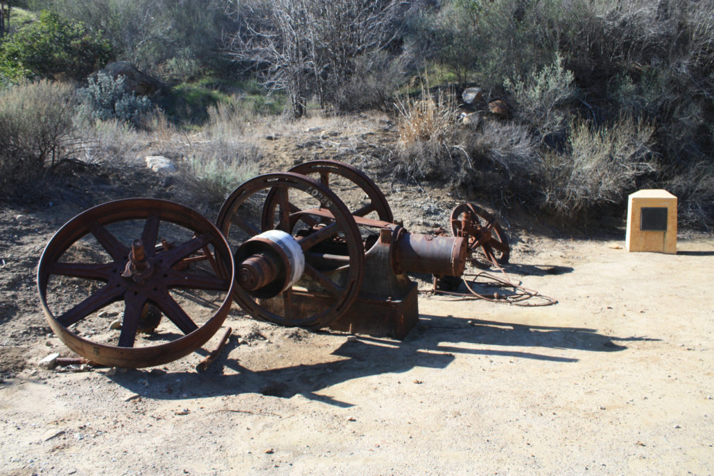
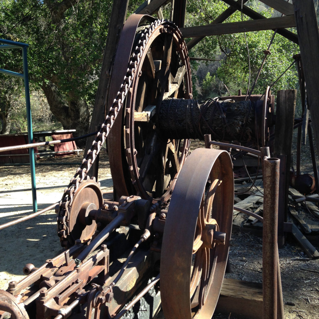
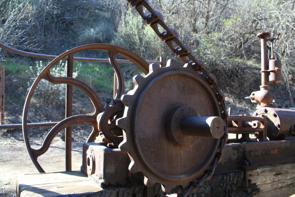
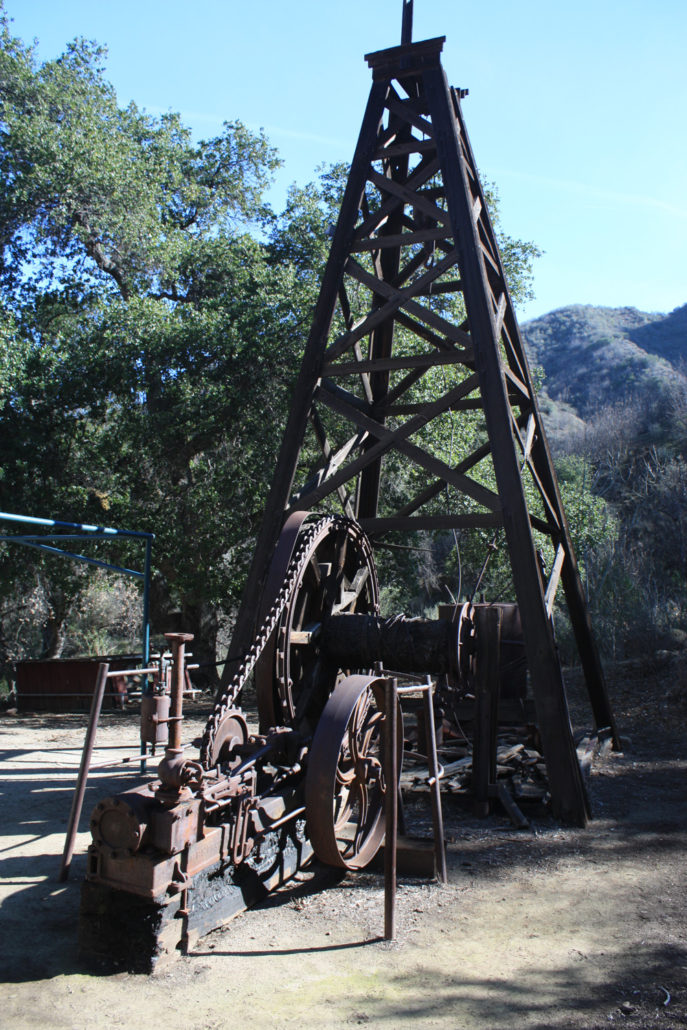
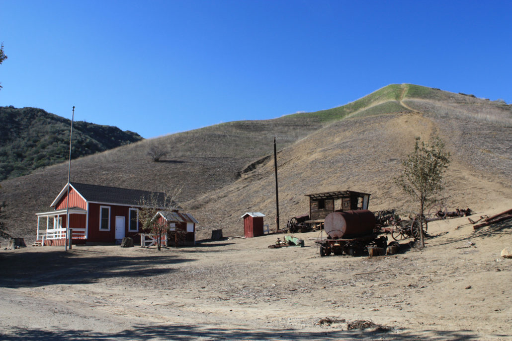
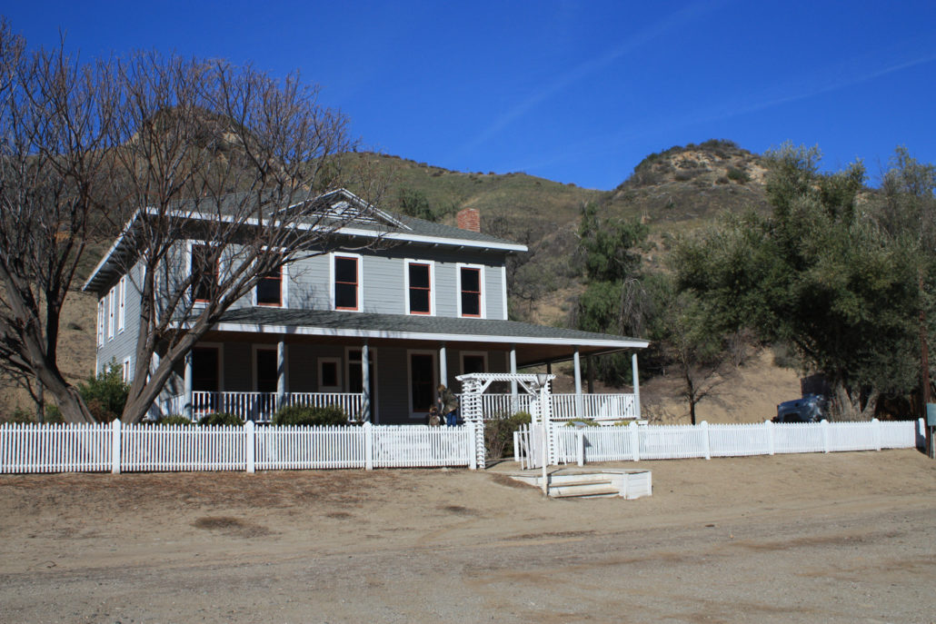
There are many reasons why California is what it is today – but you can argue that more than anything, two natural resources were instrumental in building the region and even making the land United States territory: gold and oil. Those who bemoan Southern California’s lack of preserved history need look no further than present-day Santa Clarita. To its east in Placerita Canyon, California’s first gold was discovered in 1842 – a full six years before the better known strike at Sutter’s Mill. And here in Pico Canyon – less than 10 miles from Placerita as the crow flies – sits the site of California’s first commercially viable oil well. Alex Mentry – Photo donated by Chevron to the Santa Monica Mountains Conservancy The region had been explored for oil before (nearby Towsley Canyon has its own oil producing history), but it took a 30-year old French immigrant named Charles Alexander Mentrier (better known as Alex Mentry) to drill the 617-foot deep well known as Pico Number 4. When it was turned on for Pennsylvania oil man Demetrius G. Scofield’s California Star Oil Company on September 26, 1876, it struck a gusher and would continue producing oil until the year 1990, making it the longest operating oil well in the world. After the strike, up to a hundred families moved into the canyon in a settlement that became known as Mentryville. A schoolhouse went up in 1885, Mentry and his family lived in a 13-room mansion, and this boomtown was the first in the Santa Clarita Valley to have gas lighting. The town also had a bakery, social hall, blacksmith shop, machine shop, and boarding houses – as well as a gas-lit tennis court and main road paved with local asphalt. Apparently there were no saloons, though – Mentry supposedly prohibited both drinking alcohol and the use of foul language in his boomtown. At its height, Mentryville had 74 oil wells and produced 100,000 barrels of oil a year, but declining output and Mentry’s death in 1900 saw most of the workers and their families move on to other projects. In the 1930s, mo
Trail Stats
7.5 km
281 m
765 m
482 m
—
Photos
Trail photo
No caption provided.
Trail photo
No caption provided.
Trail photo
No caption provided.
Trail photo
No caption provided.
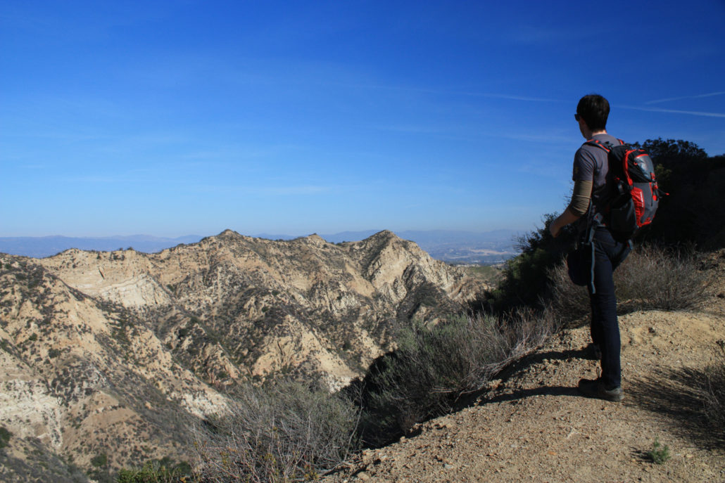
Trail photo
No caption provided.
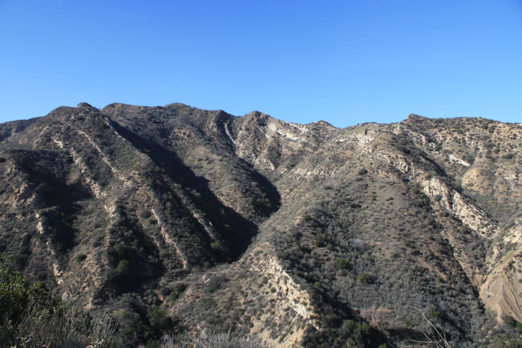
Trail photo
No caption provided.
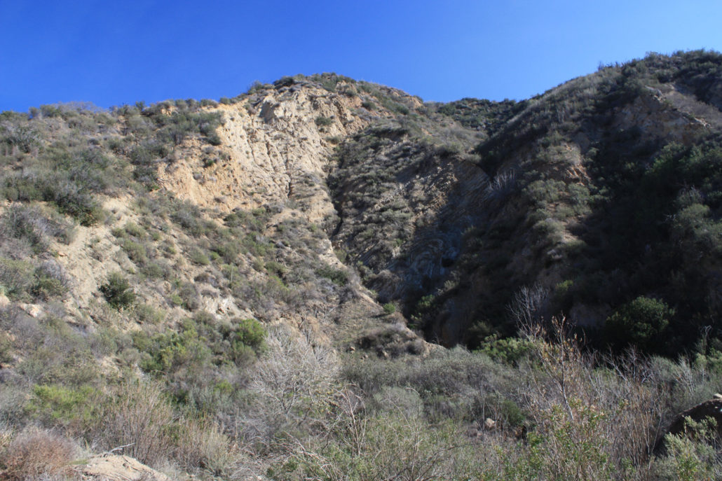
Trail photo
No caption provided.
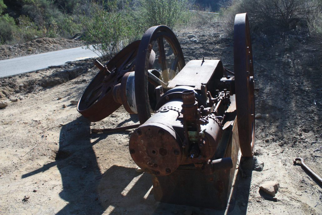
Trail photo
No caption provided.
Trail photo
No caption provided.
Trail photo
No caption provided.
Trail photo
No caption provided.
Trail photo
No caption provided.
Trail photo
No caption provided.
Trail photo
No caption provided.
Trail photo
No caption provided.
Trail photo
No caption provided.
Trail photo
No caption provided.
Trail photo
No caption provided.
Trail photo
No caption provided.
Trail photo
No caption provided.