2 min
Overview
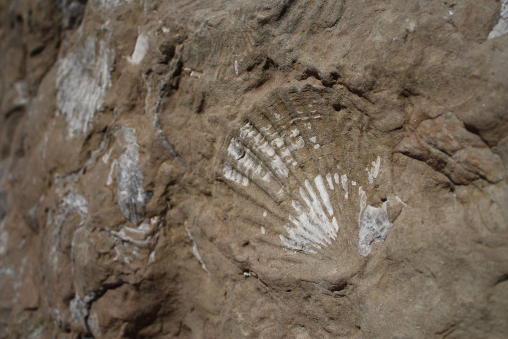
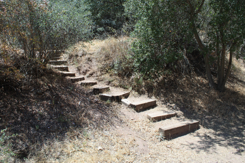
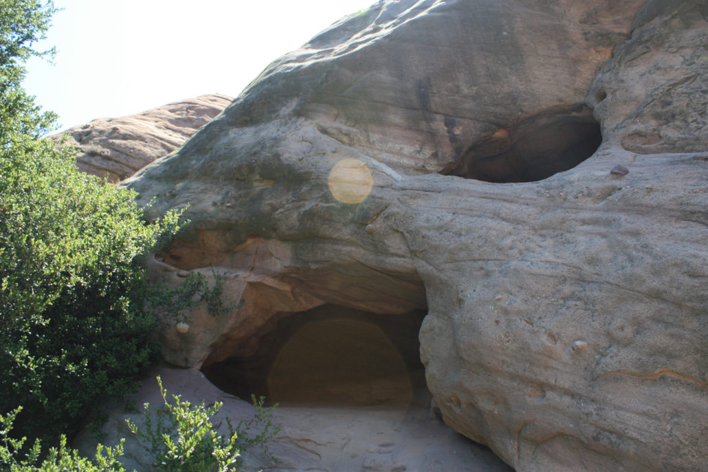
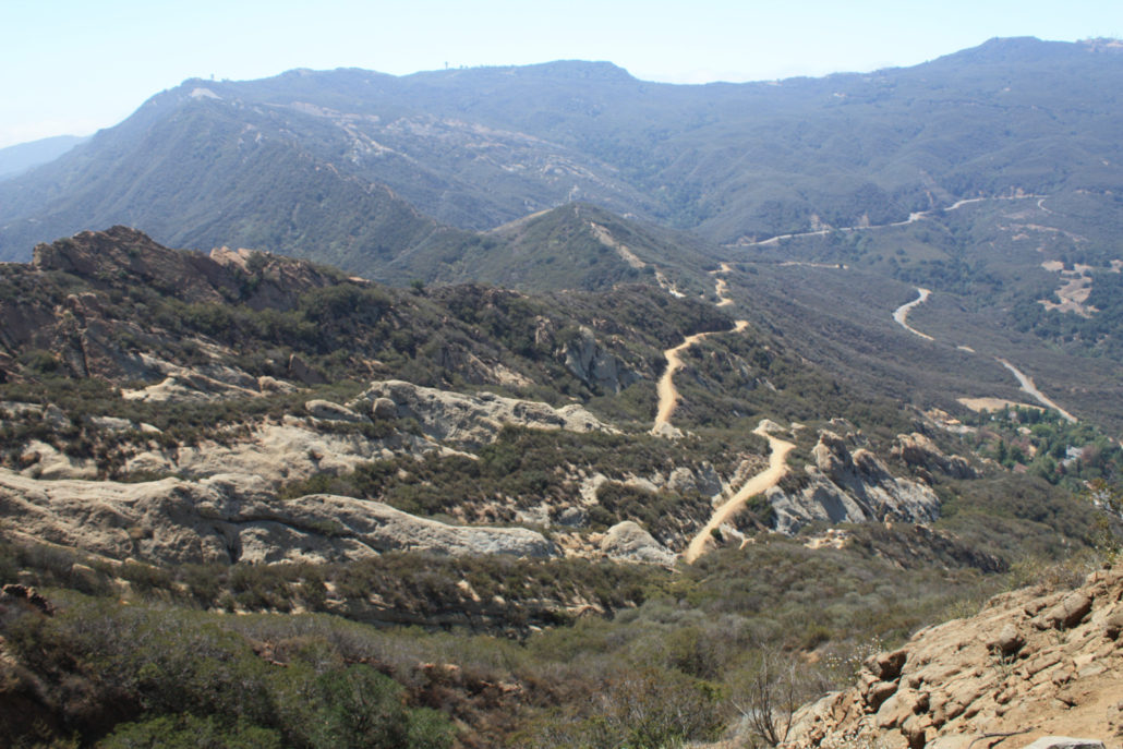
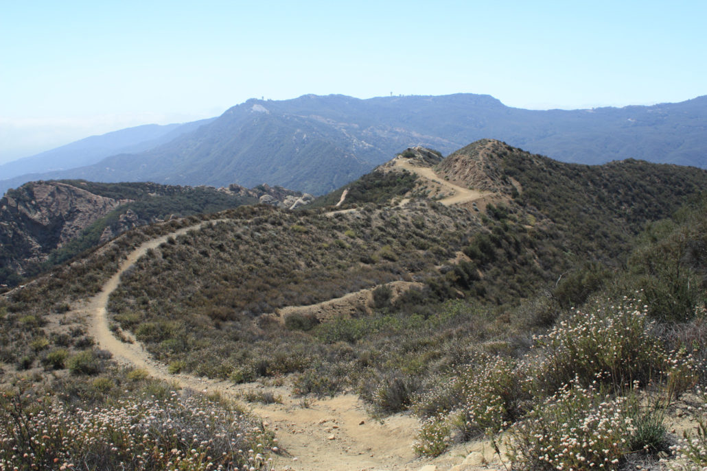
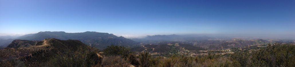
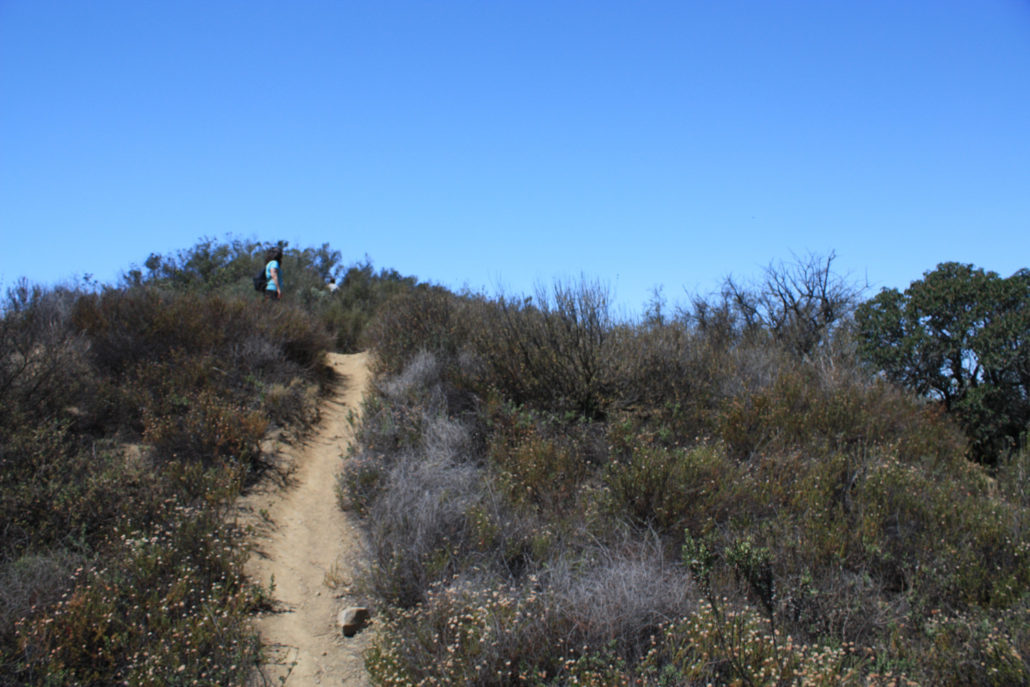
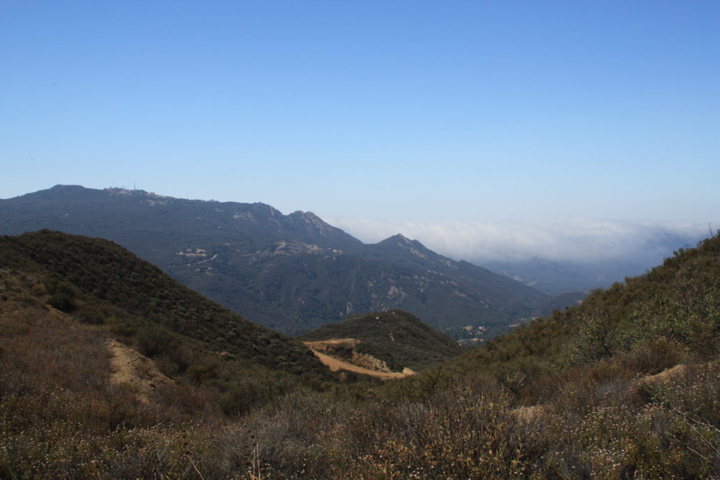
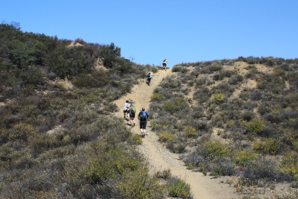
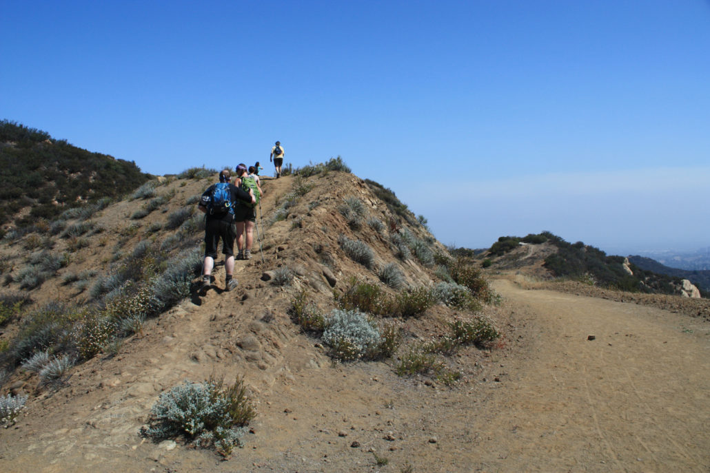
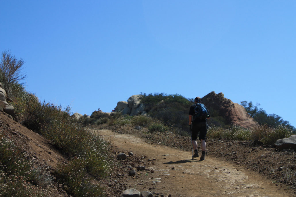
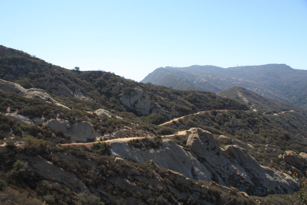
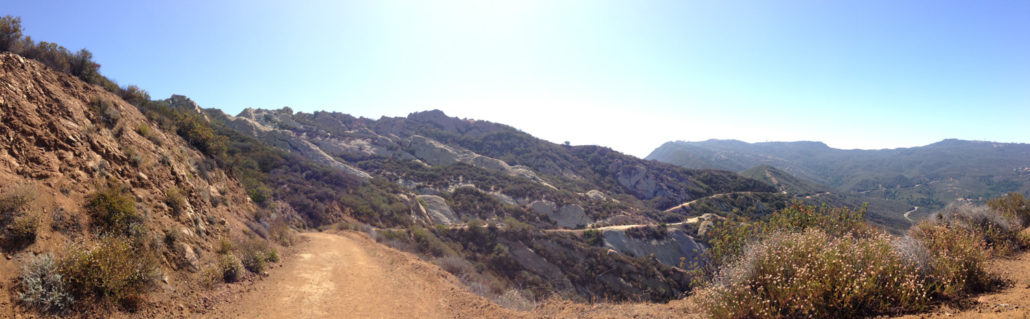
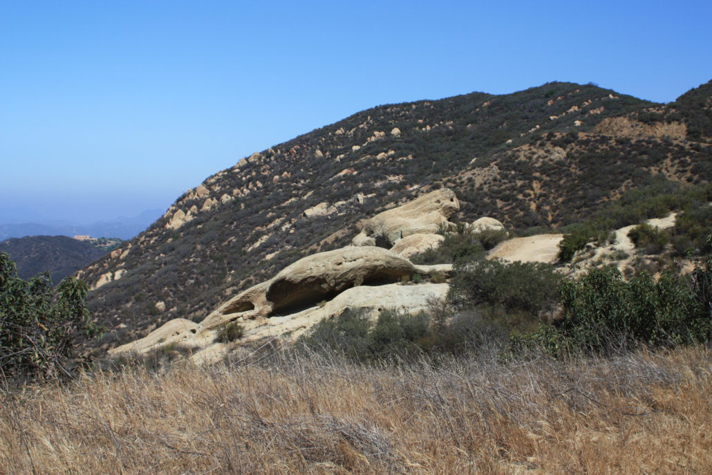
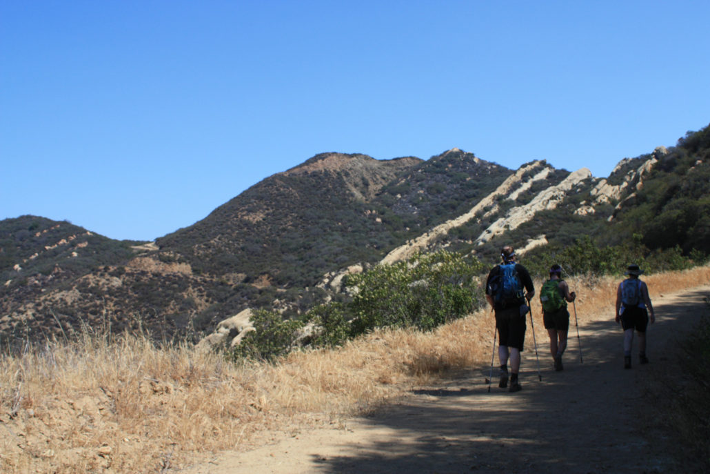
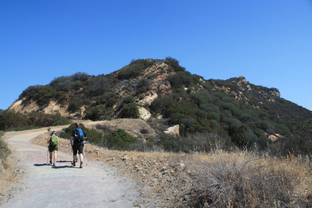
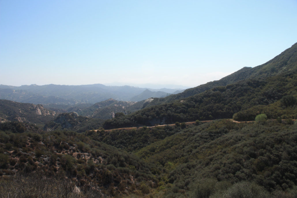
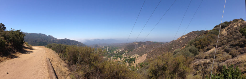
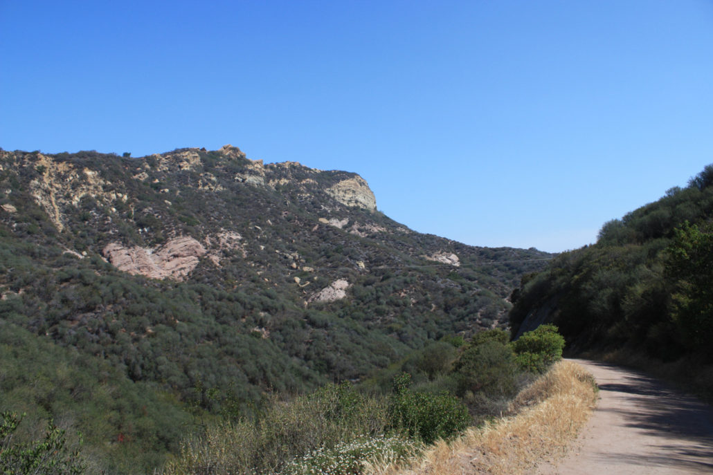
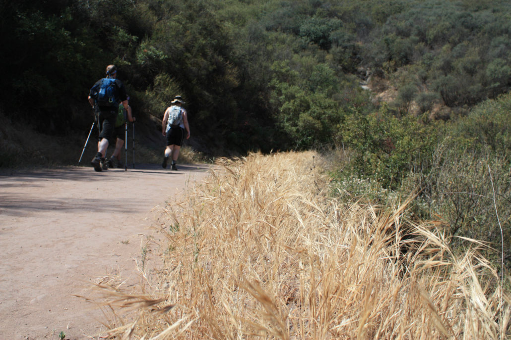
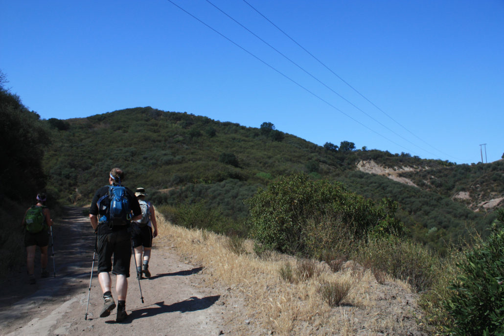
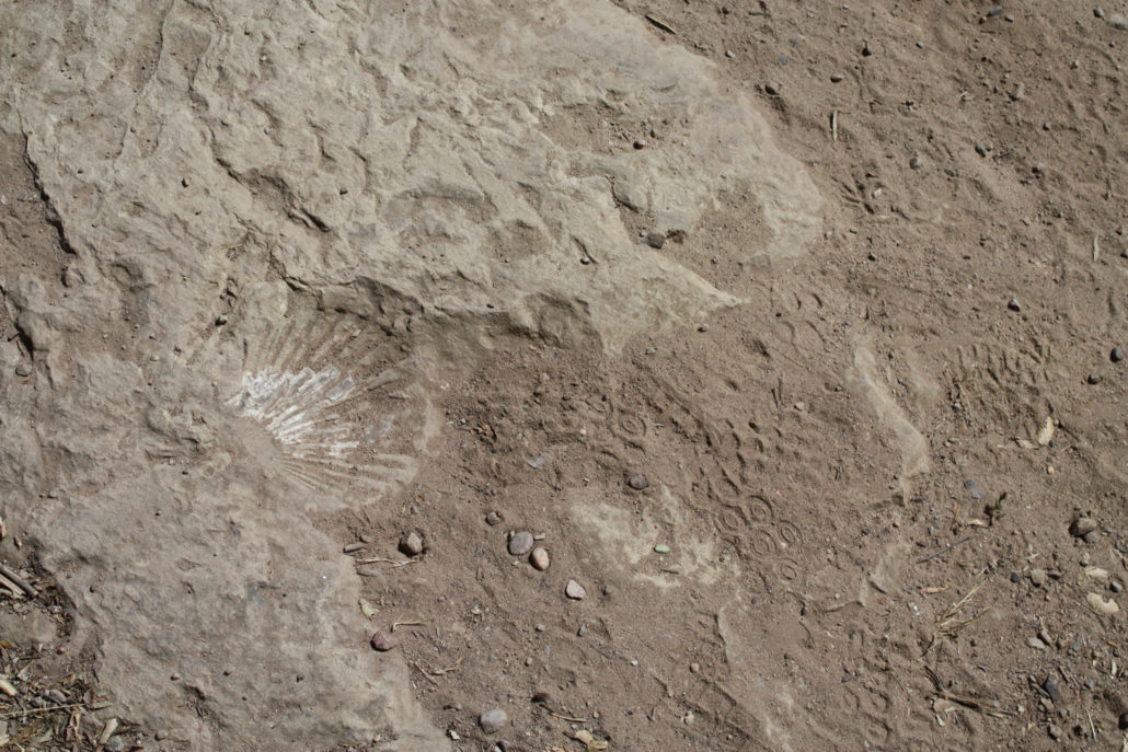
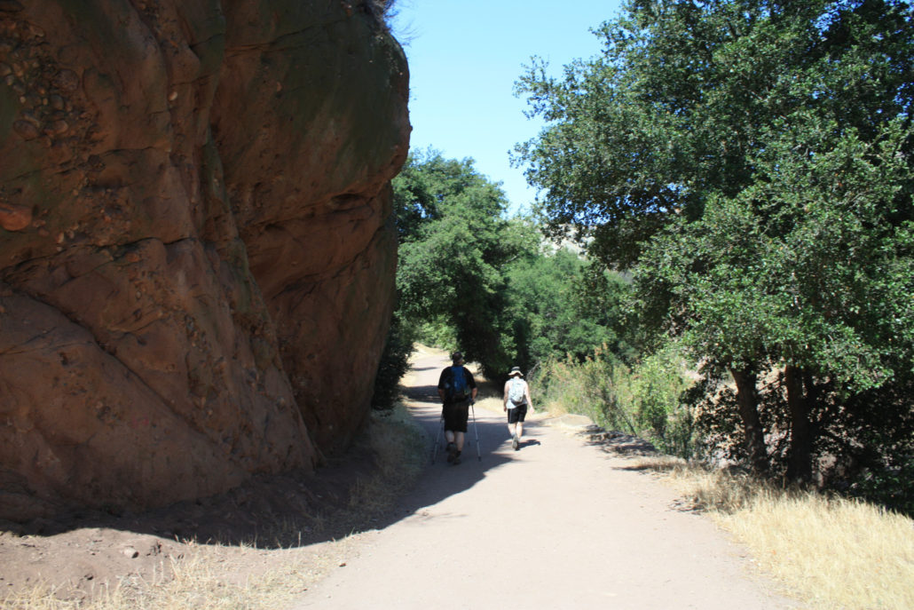
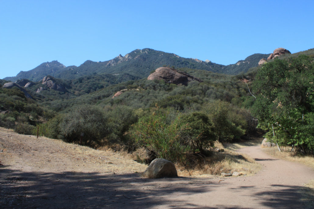
This moderately graded fire road ascent just outside Topanga Village provides some amazing views of the interior of the Santa Monica Mountains – especially if you get to see the marine layer flowing over the peaks closest to the coast. This dog-friendly hike has enough of an incline to get your legs working but isn’t tough enough to scare off new hikers. There’s a lot of geology on display here – and opportunities to extend the hike if you feel like spending more time outside. If you’re looking for hiking near Topanga, odds are you’re going to end up in Topanga State Park. And while there are some incredible hikes there, they can often get on the crowded side. With that in mind, some friends and I headed to Red Rock Canyon Park off Old Topanga Canyon Road (NOT to be confused with Red Rock Canyon STATE Park, which may come up in Google searches but is much further away. Heading down Red Rock Road is a pretty amazing L.A. experience – some of the houses along the road are clearly old hippie communies from the 60s, while others are more recent treehouse-mansions built by the super-rich. As you drive down the winding, narrow road (and especially after it turns into a dirt road), you can be forgiven for thinking you’re somewhere that is definitely NOT Los Angeles. There’s a gate at the end of the road with a small parking area, some outhouses, and an iron ranger. If the lot is full, you’ll have to wait for someone to come back to their car or backtrack a bit to a small spillover lot back down Red Rock Road. When we arrived on a Saturday morning, there weren’t that many people around – but on our way out a few people had decided to spend their birthdays picnicking there and parking was in much shorter supply. When you’re ready to hit the trail, walk past the gate and start up the fire road under the shade of some large and beautiful oak trees. The first half-mile of the trail is relatively flat and shaded, so you’ll have plenty of time to soak in the scenery. About 0.2 miles into the hike, you’ll see a very short spu
Trail Stats
7.4 km
324 m
658 m
328 m
—
Photos
Trail photo
No caption provided.
Trail photo
No caption provided.
Trail photo
No caption provided.
Trail photo
No caption provided.
Trail photo
No caption provided.
Trail photo
No caption provided.
Trail photo
No caption provided.
Trail photo
No caption provided.
Trail photo
No caption provided.
Trail photo
No caption provided.
Trail photo
No caption provided.
Trail photo
No caption provided.
Trail photo
No caption provided.
Trail photo
No caption provided.
Trail photo
No caption provided.
Trail photo
No caption provided.
Trail photo
No caption provided.
Trail photo
No caption provided.
Trail photo
No caption provided.
Trail photo
No caption provided.
Trail photo
No caption provided.
Trail photo
No caption provided.
Trail photo
No caption provided.
Trail photo
No caption provided.
Trail photo
No caption provided.
Trail photo
No caption provided.
Trail photo
No caption provided.