2 min
Overview
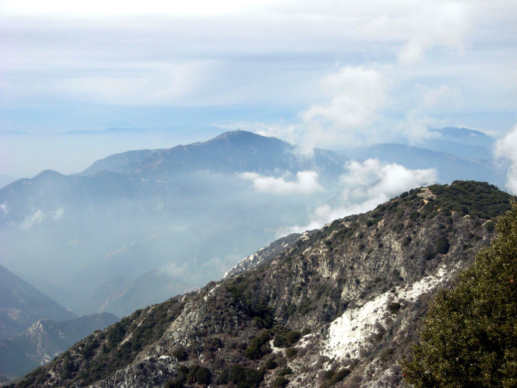
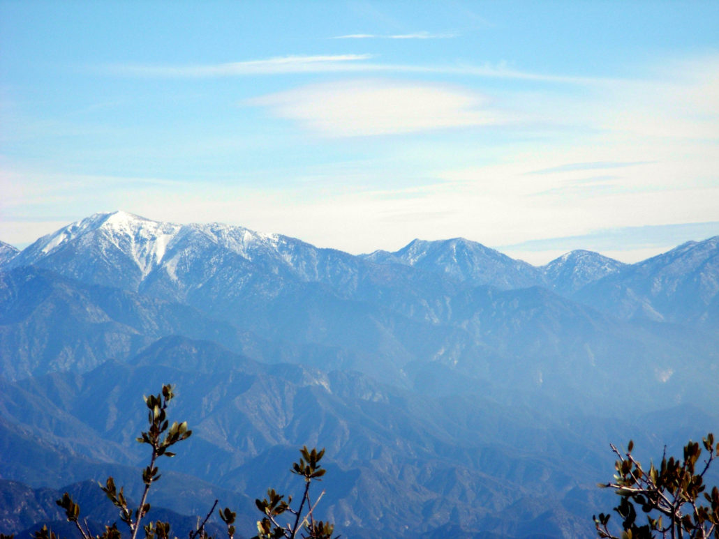
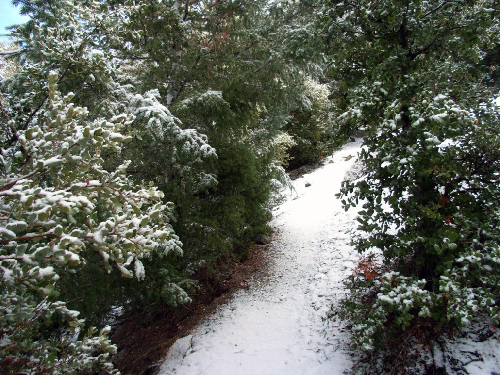
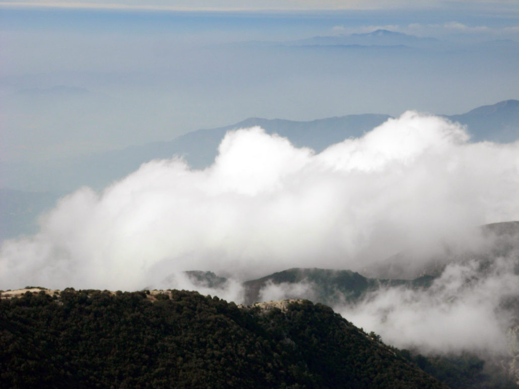
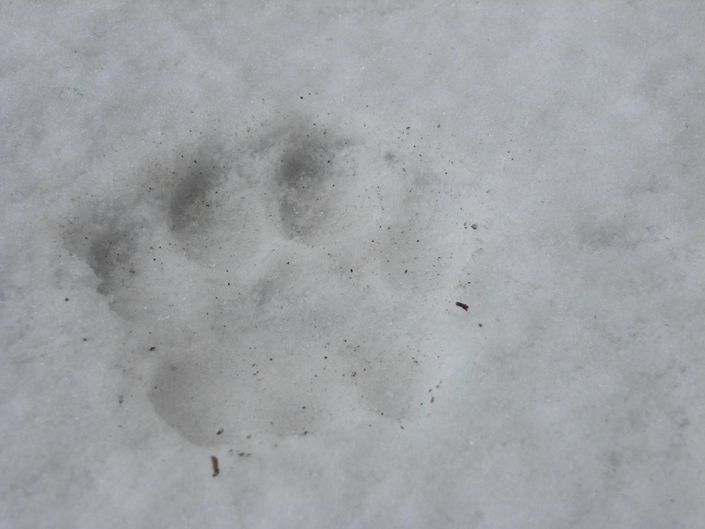
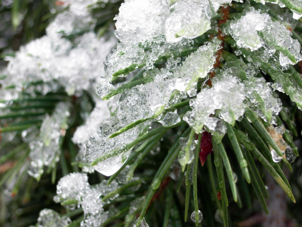
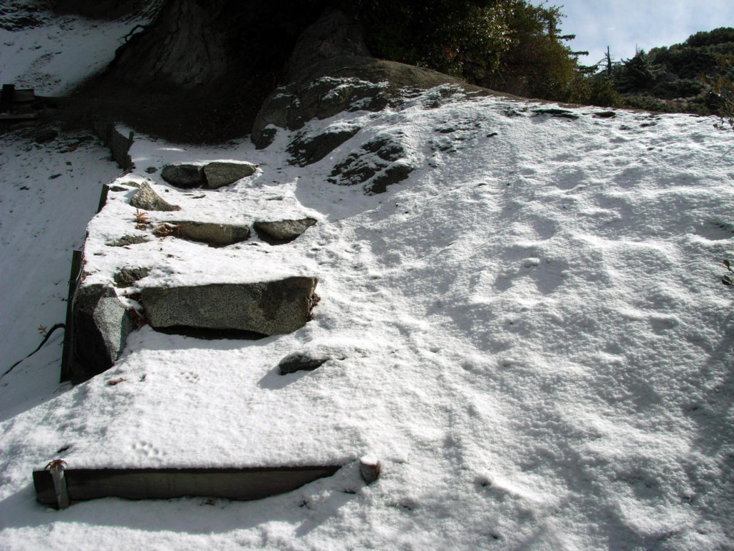
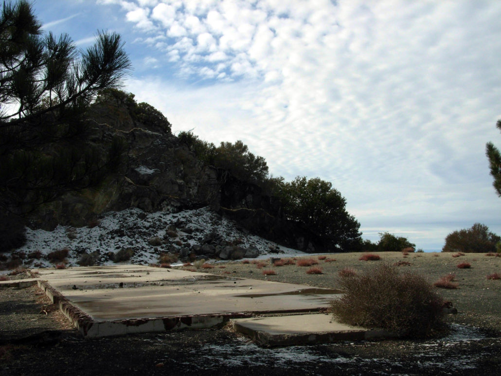
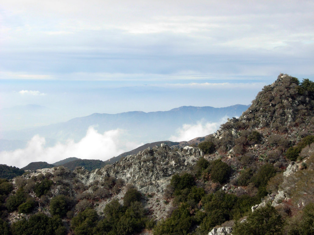
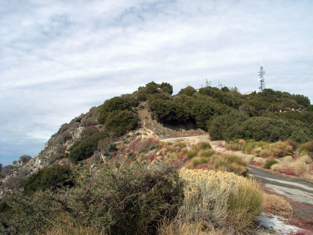
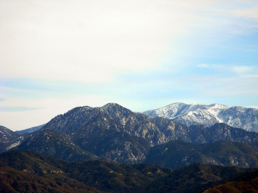
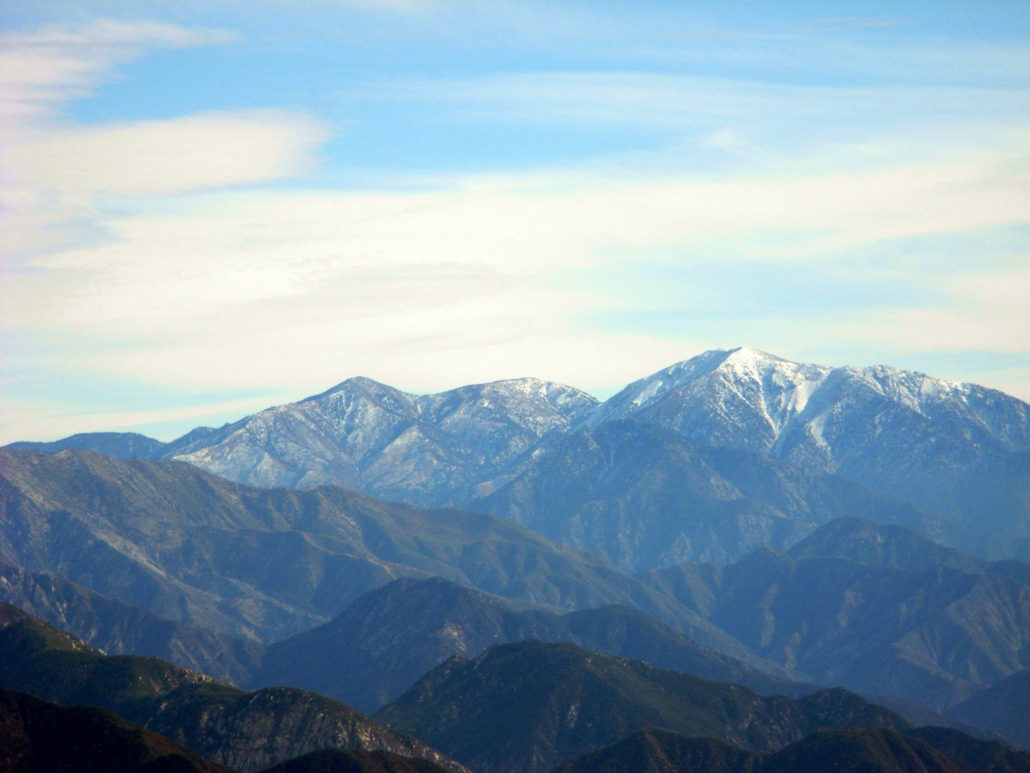
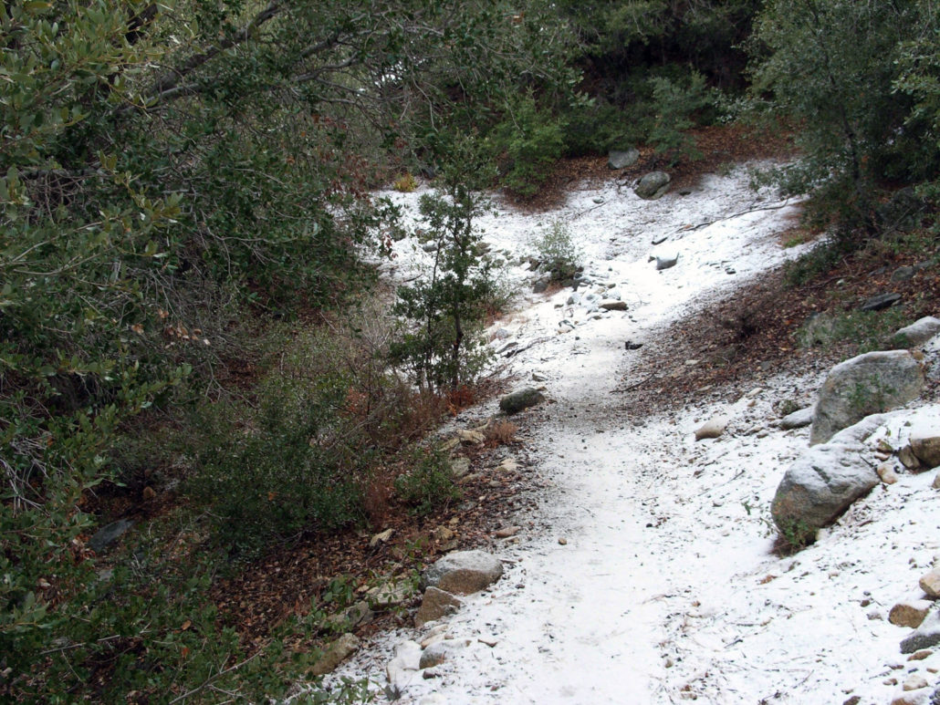
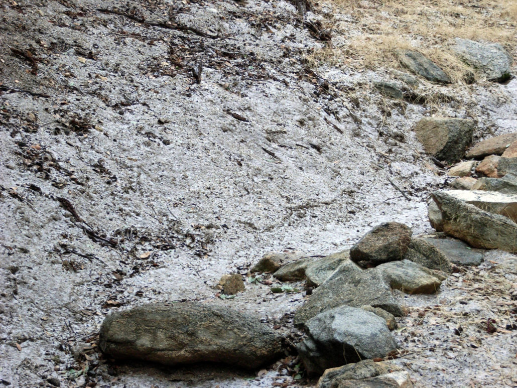
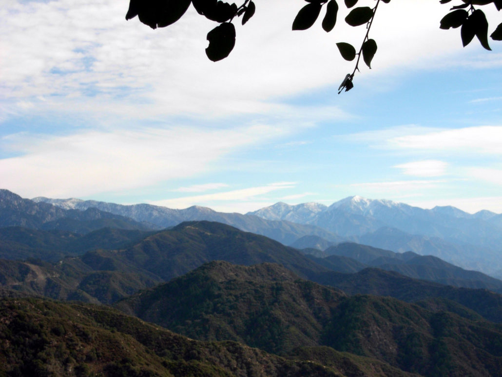
A short, steep, switchback-sprinkled trail up the north face of Mount Disappointment to San Gabriel Peak. You’ll pass an old Nike Missile Station and end your hike on a small peak with some nice 360-degree views. This is a fairly easy, shaded, and short hike, with great views (on clear days) and several opportunities to knock some other peaks off your list. A friend and I decided to tackle San Gabriel Peak after a winter storm left a light dusting of snow. We drove through the Angeles Crest Highway, turned at the Mount Wilson Road, and parked in a small lot on a short side road. The trailhead looks like a mess, but I promise it’s really easy to find the Bill Reilly Trail. You should be able to make out some of the stonework that holds the trail up just south of the small parking area. The trail meanders along several switchbacks and gains elevation quickly – about 200 feet in the first third of a mile. But soon the trail loops around to the west and enters some nice cover from tree and brush. We hiked at a steady pace through the forested sections of the trail, but every time we popped out on the western ridge and faced the snow-capped mountains in the distance, we had to stop and gaze for a few moments. The San Gabriels are beautiful when they’ve got a little bit of snow on them, and it seemed that most of the peaks above 6000 feet got a pretty good dusting overnight. It does, however, mean that a lot of those higher mountains are probably off-limit to me for a little while … or until I buy some crampons. The hike was uneventful on the way up, until we started coming on some trail stones with a light coating of frost. Further up the trail, we had a little taste of full-on snow. Still not enough to get in our way, but enough to make two misplaced New Englanders feel like maybe – for just a minute – that it actually might be winter. After carefully maneuvering along some of the slicker sections of the trail, we got our first good view of the sharp peak of San Gabriel: Shortly after, the trail joined up with the
Trail Stats
6.2 km
361 m
1845 m
1472 m
—
Photos
Trail photo
No caption provided.
Trail photo
No caption provided.
Trail photo
No caption provided.
Trail photo
No caption provided.
Trail photo
No caption provided.
Trail photo
No caption provided.
Trail photo
No caption provided.
Trail photo
No caption provided.
Trail photo
No caption provided.
Trail photo
No caption provided.
Trail photo
No caption provided.
Trail photo
No caption provided.
Trail photo
No caption provided.
Trail photo
No caption provided.
Trail photo
No caption provided.