2 min
Overview
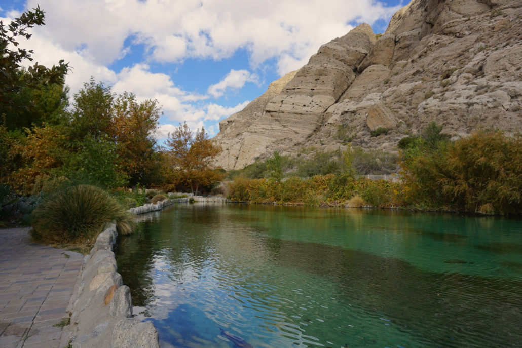
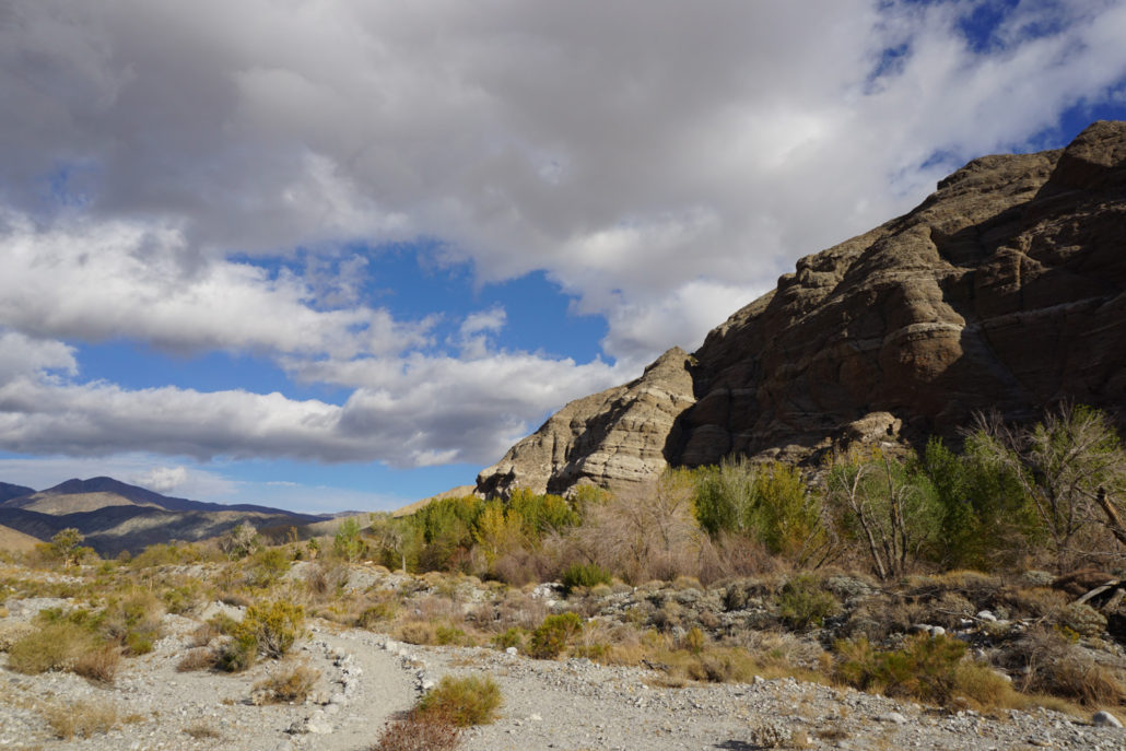
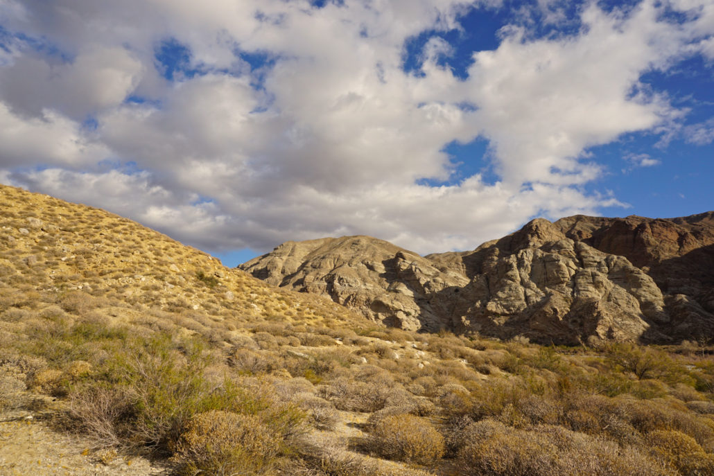
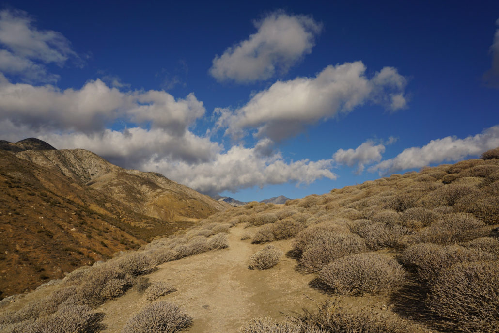
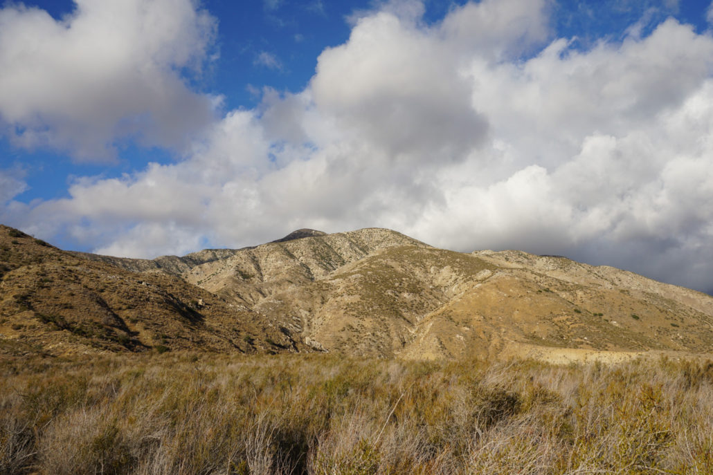
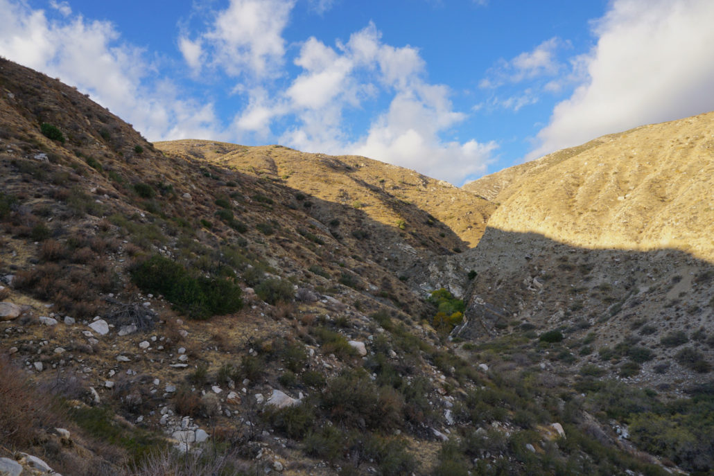
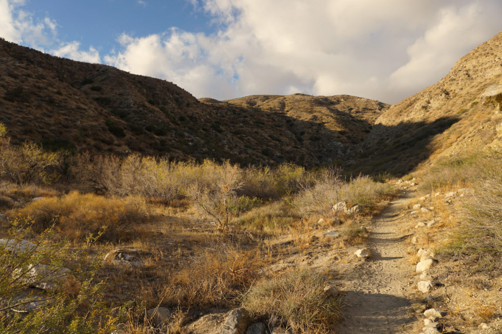
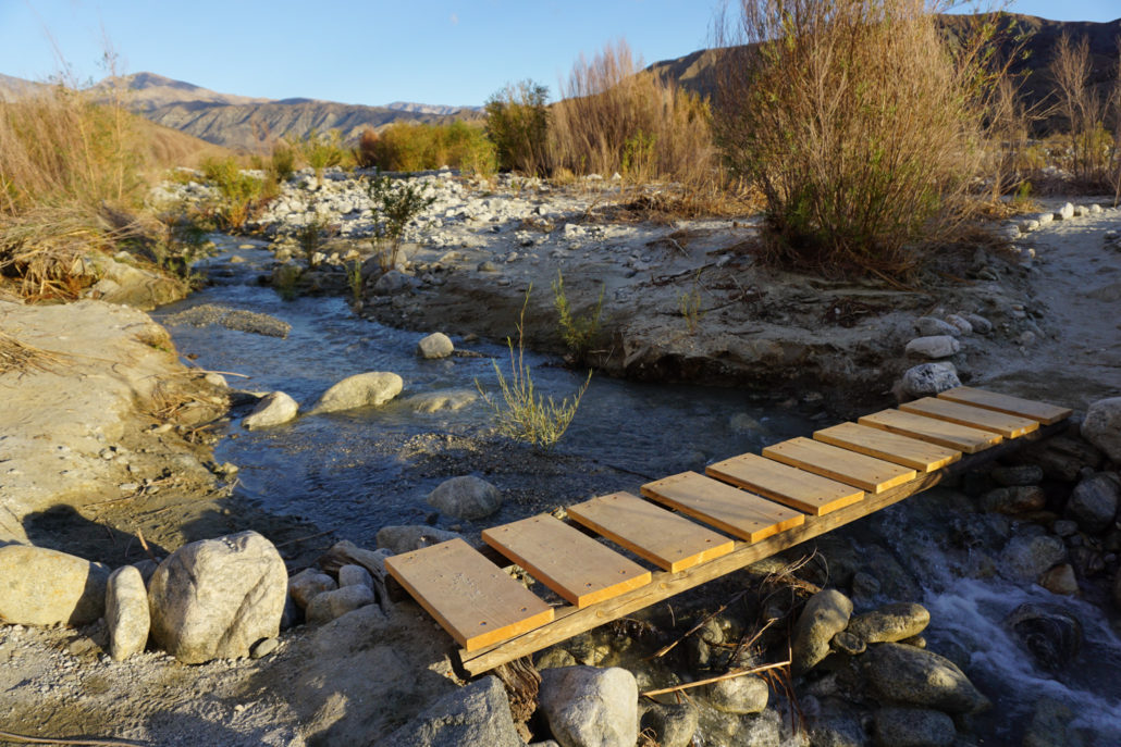
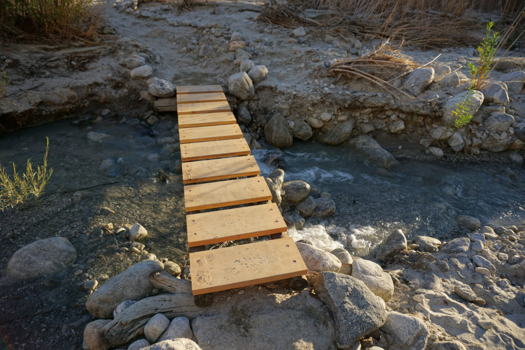
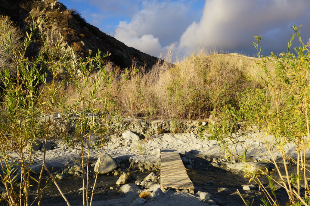
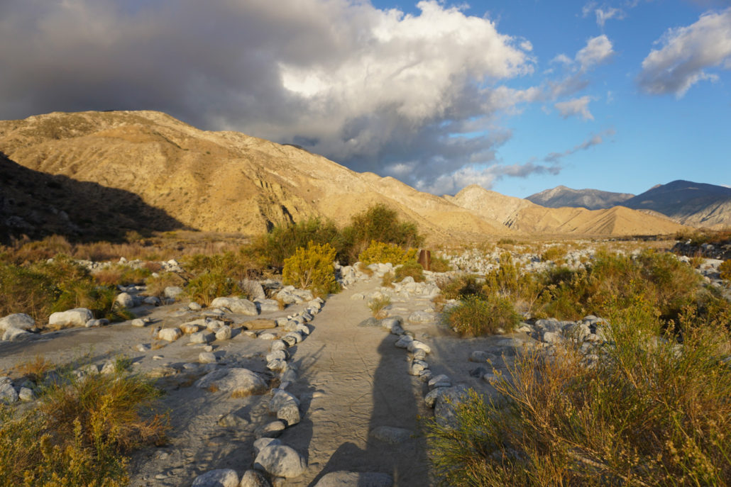
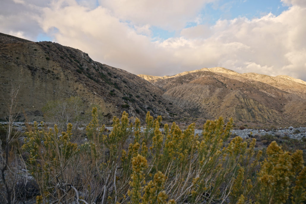
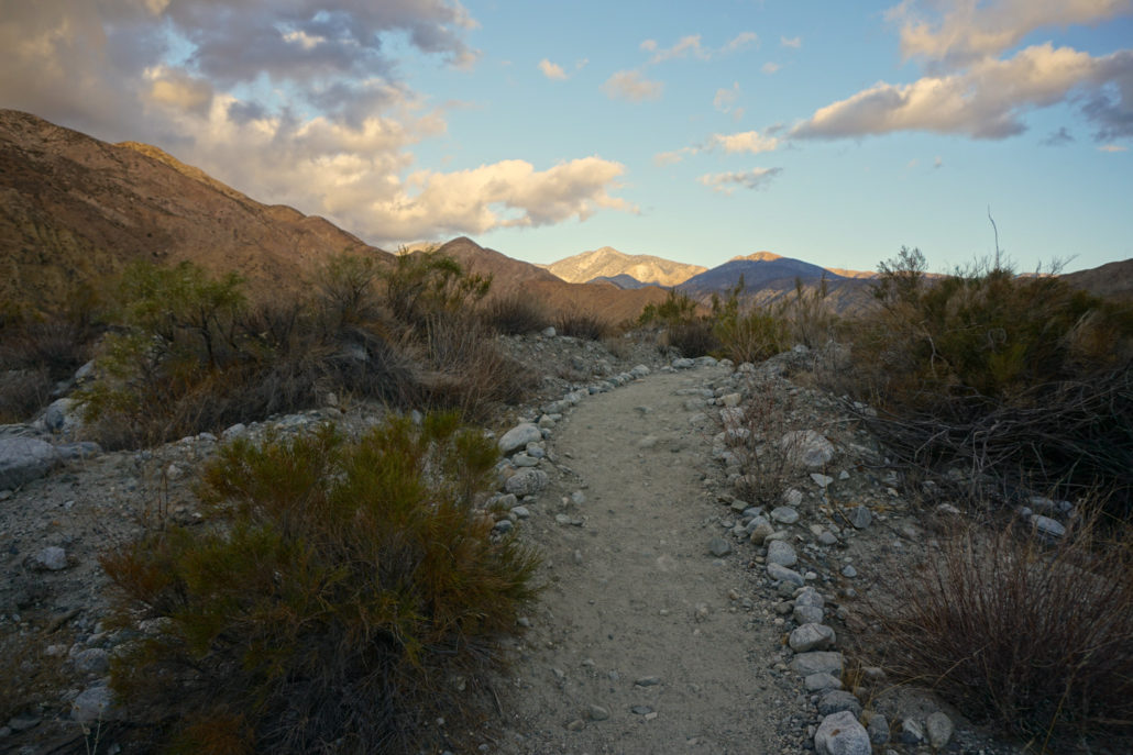
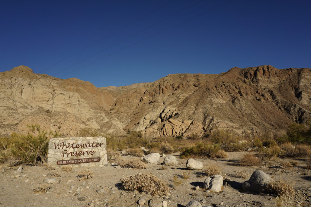
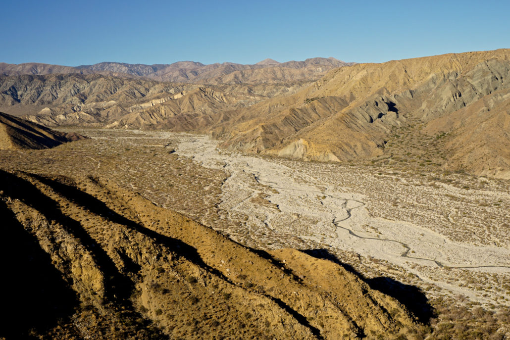
The bright, wide slash of Whitewater Canyon is a place of many treasures – well, the more natural kind, at least. From towering fanglomerate cliffs to the (sometimes) rushing Whitewater River, from the sandy desert floor to lush riparian greenery, this is a place unlike any other in Southern California. In 1939, the canyon became home to the Whitewater Trout Company, a family-owned 291-acre hatchery that supplied lakes from San Diego to Riverside to Lake Arrowhead. When it went out of business in 2006, local conservationists helmed by the Coachella Valley Mountains Conservancy and Friends of the Desert Mountains raised money to buy the property, realizing its value as a gateway to the San Gorgonio Wilderness and the river itself. The Wildlands Conservancy, the largest non-profit wilderness preserve system on the west coast, was able to then buy the land at a discount from the conservation groups and proceeded to simultaneously deconstruct the hatchery and build what is now the 2,851-acre Whitewater Preserve, part of the Conservancy’s extensive “Sand To Snow” system. After two years of hard work, the preserve opened to the public in 2008, offering free access to hiking, camping, backpacking, picnicking, and outdoor education. The Canyon View Loop serves as the perfect introduction to this spectacular area. Before embarking on your trip, however, check in with the ranger station to ensure that the whole loop is actually open – the BLM enacts an annual seasonal fire closure during the driest (read: summer and fall) months of the year, which blocks off access to the southern portion of the trail. Venturing into the restricted area against orders is bad mojo: it can result in some very stiff fines and increases the risk of human-caused fire in an extremely dry area. If you visit during the closure, you can still enjoy this as an out-and-back trip and save the full route for a time of year when it is legally and safely accessible. The loop begins just north of the ranger station and main parking area; look for the in
Trail Stats
6.0 km
293 m
847 m
637 m
—
Photos
Trail photo
No caption provided.
Trail photo
No caption provided.
Trail photo
No caption provided.
Trail photo
No caption provided.
Trail photo
No caption provided.
Trail photo
No caption provided.
Trail photo
No caption provided.
Trail photo
No caption provided.
Trail photo
No caption provided.
Trail photo
No caption provided.

Whitewater Preserve in California
Whitewater Preserve in California
Trail photo
No caption provided.
Trail photo
No caption provided.
Trail photo
No caption provided.
Trail photo
No caption provided.
Trail photo
No caption provided.
Trail photo
No caption provided.
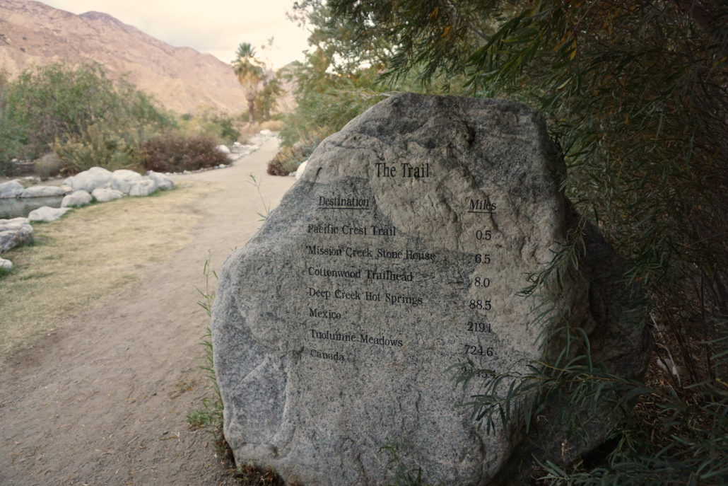
Trail photo
No caption provided.
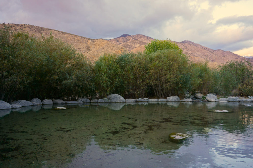
Trail photo
No caption provided.
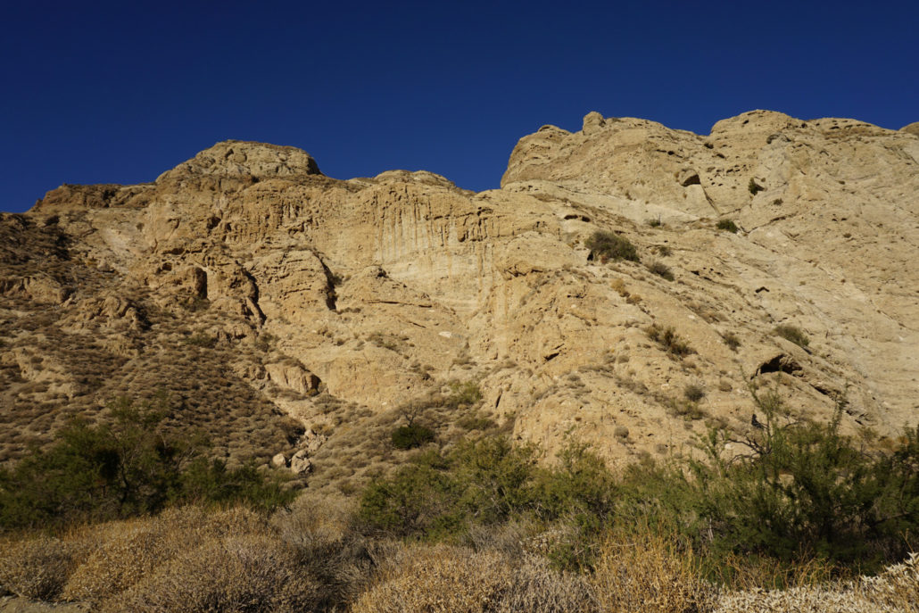
Trail photo
No caption provided.
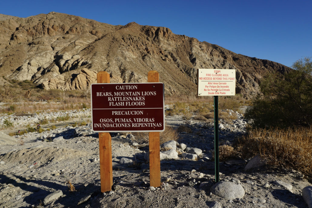
Trail photo
No caption provided.
Trail photo
No caption provided.
Trail photo
No caption provided.