2 min
Overview
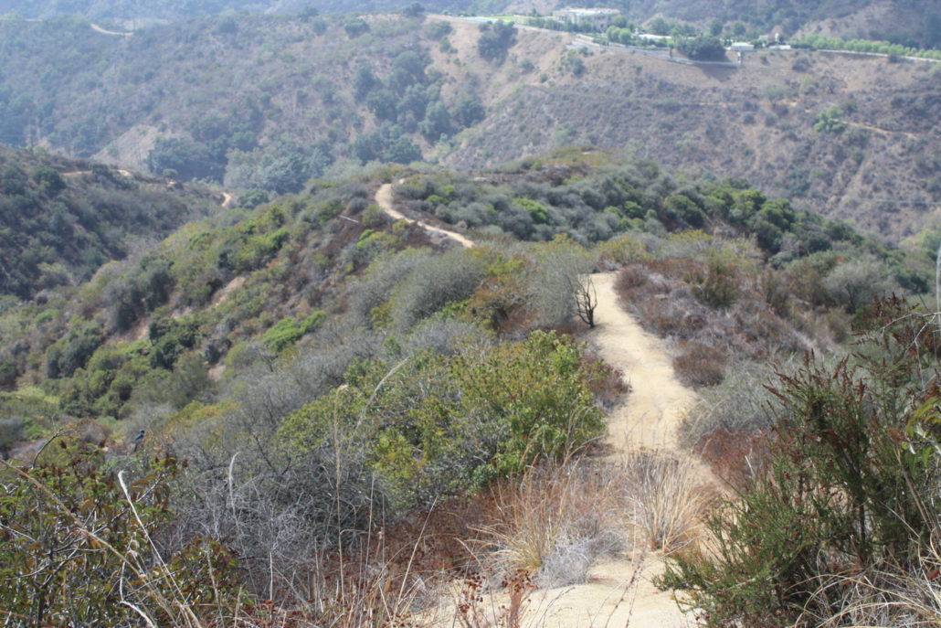
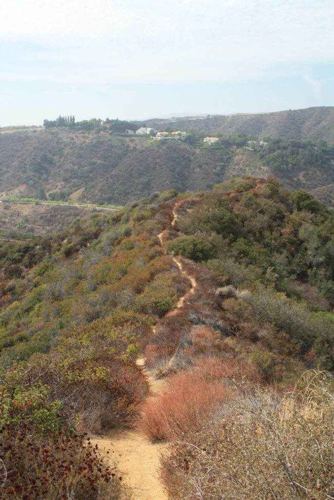
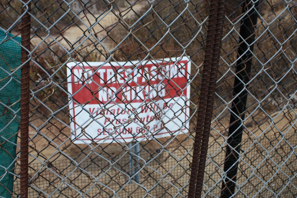
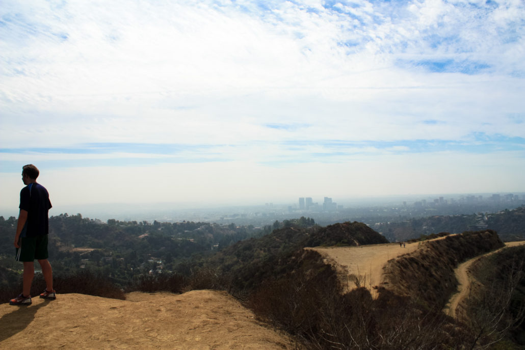
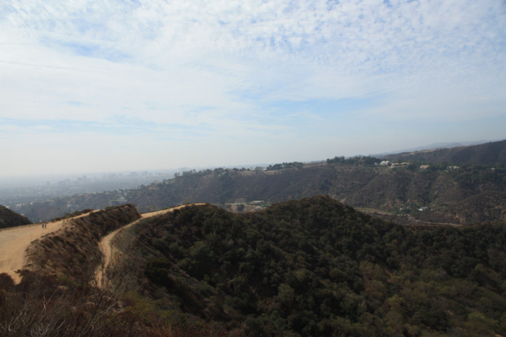
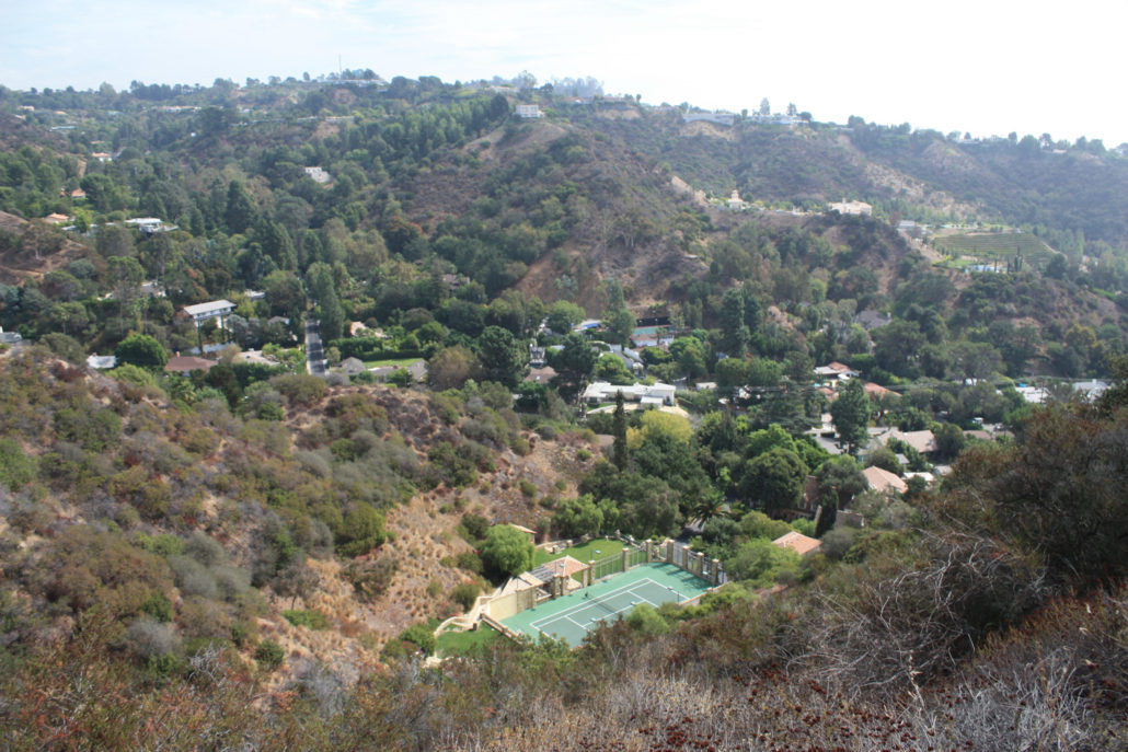
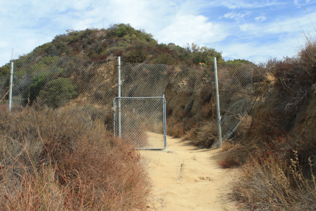
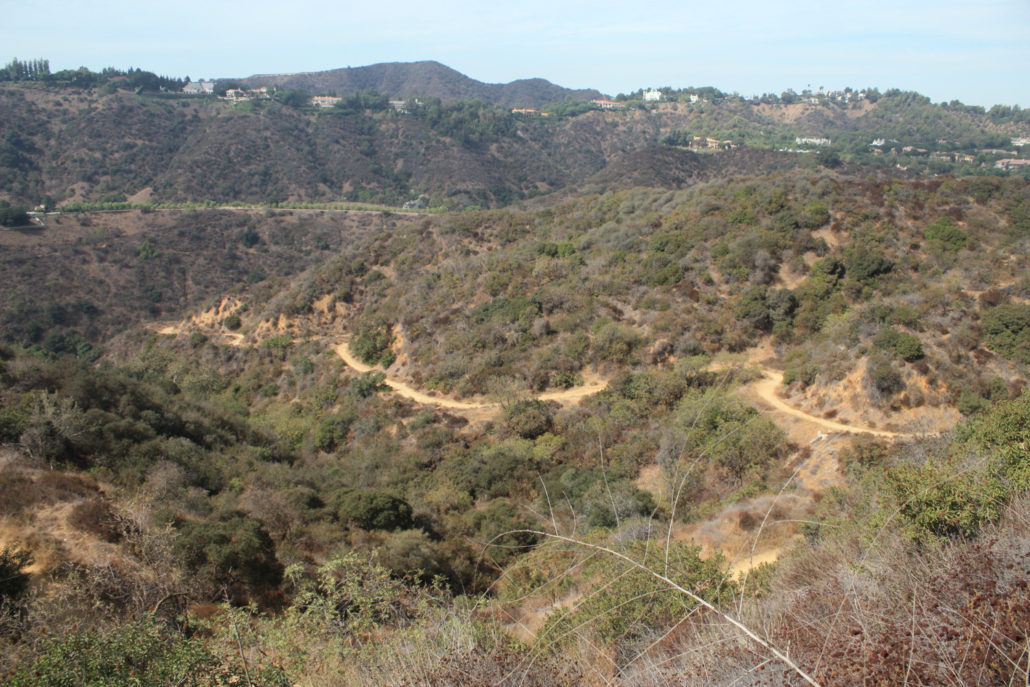
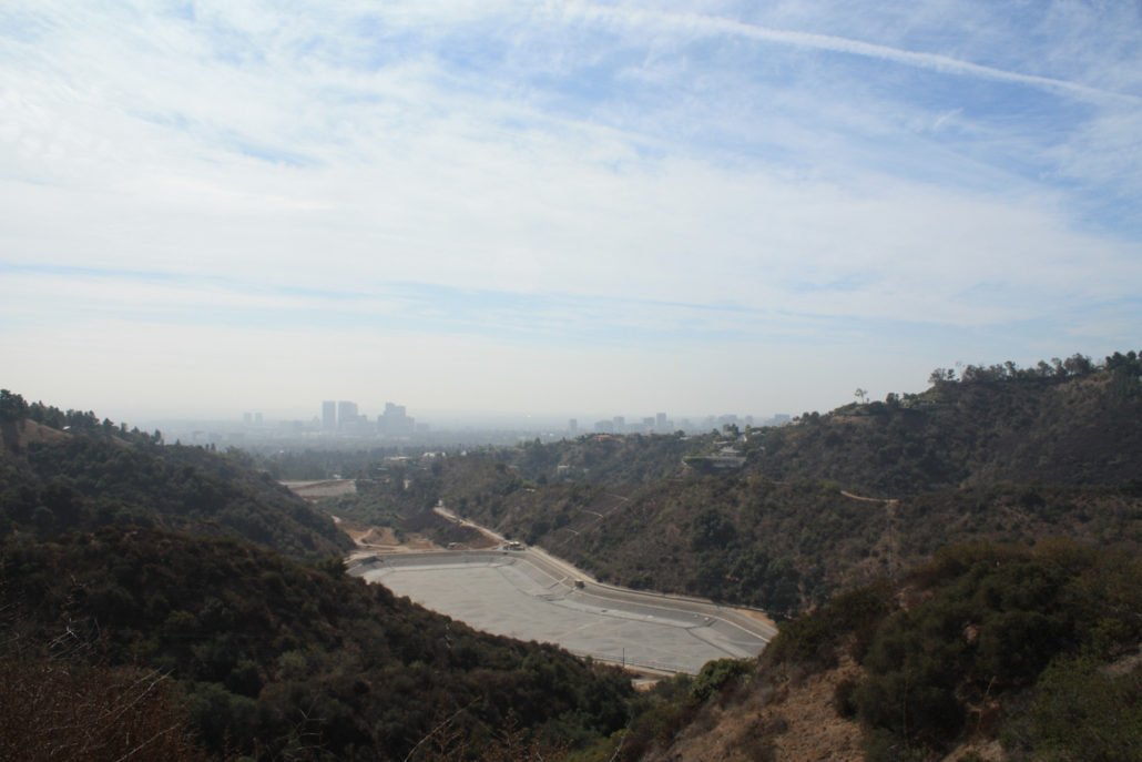
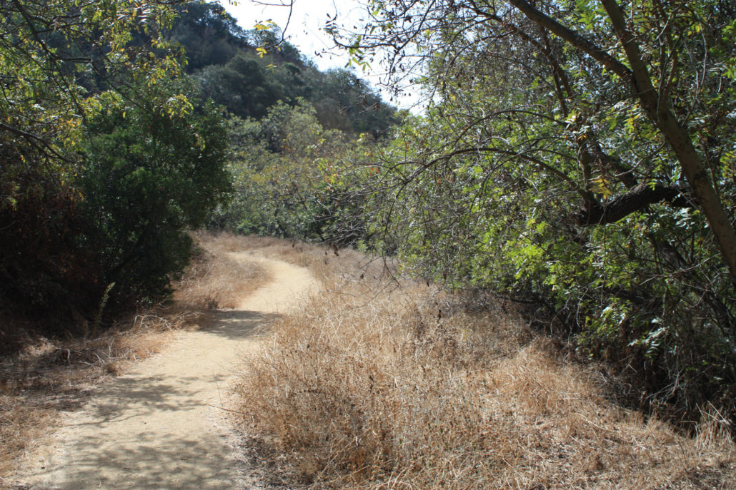
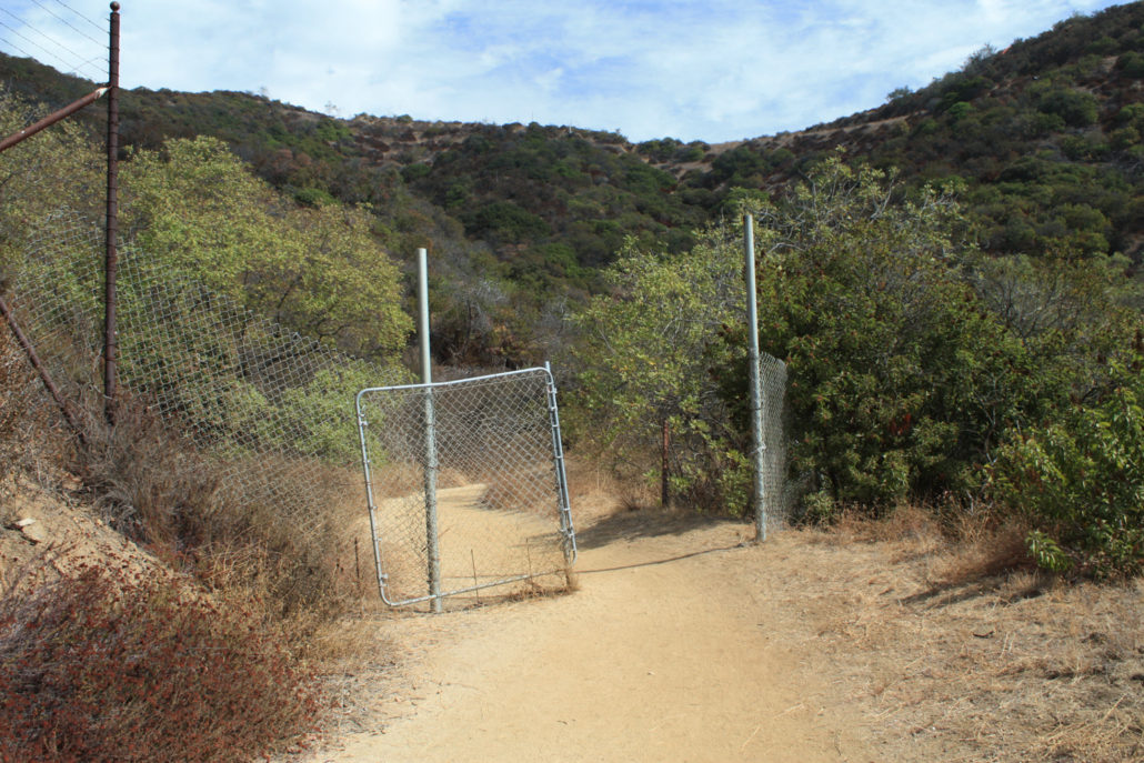
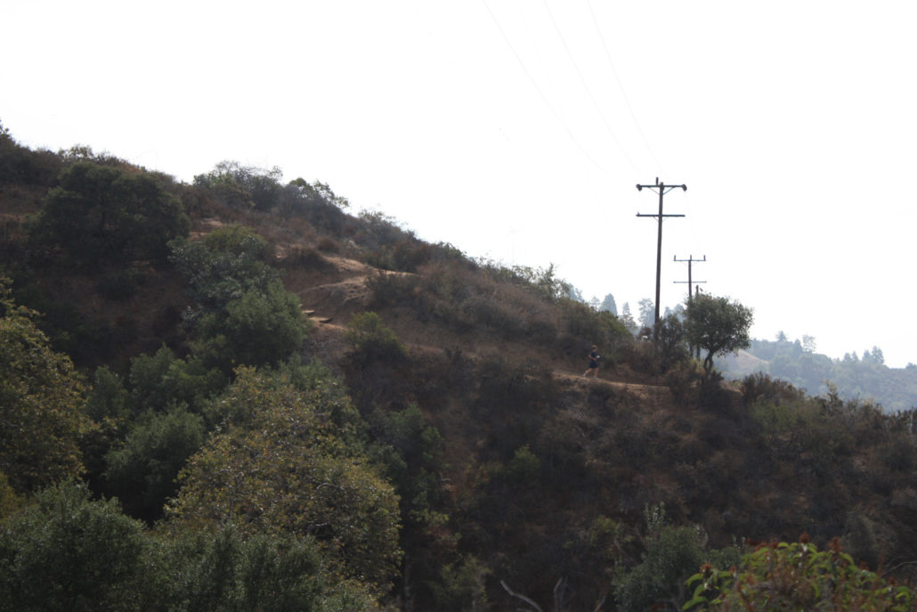
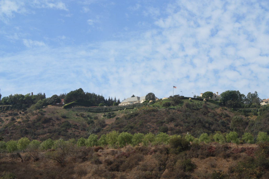
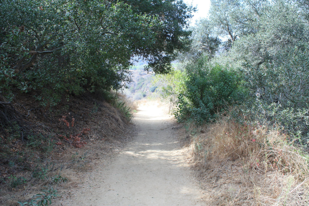
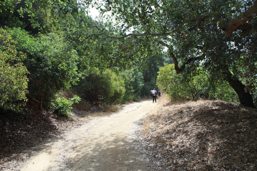
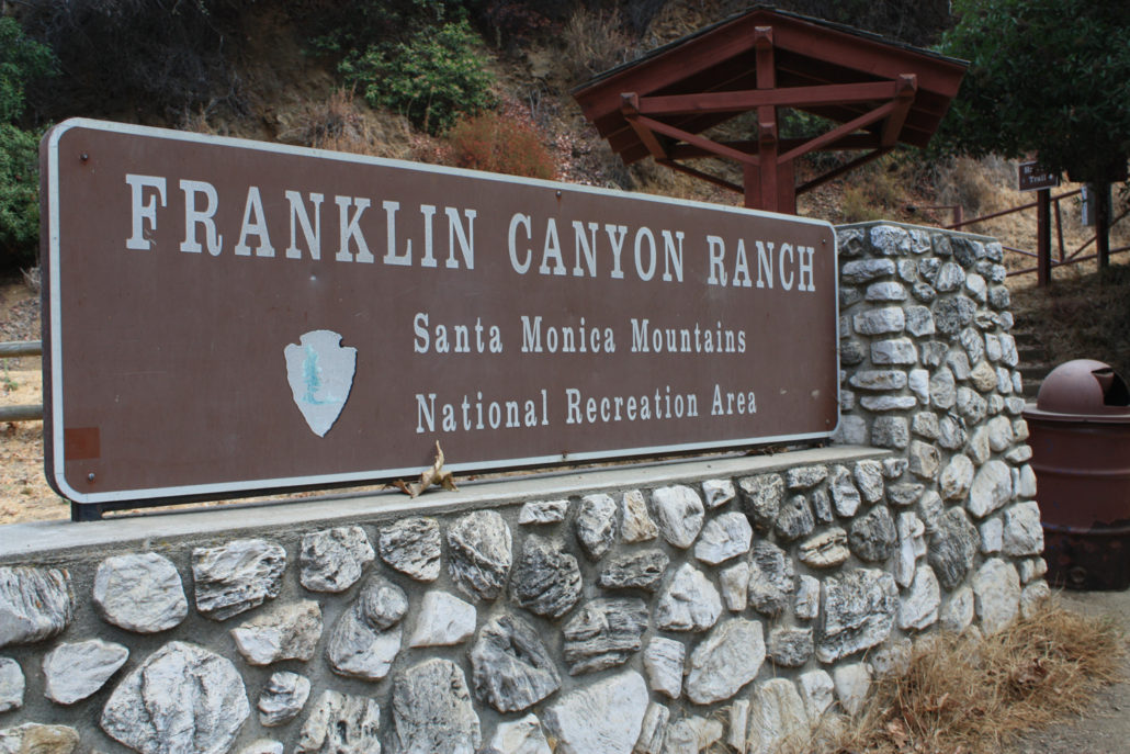
A short loop in the southern half of Franklin Canyon Park – a rugged, hidden little canyon just outside of Beverly Hills. This is a decent workout with some really lovely canyon scenery and views of Beverly Hills and Century City – and not too crowded, either! Note: Franklin Canyon Park is currently involved in an ongoing dispute with a private land developer on the eastern edge of the park, who has closed off access to hikers in the past. A series of decisions has alternately favored both sides, so check with the park or be prepared to potentially be unable to complete the route as described here. Franklin Canyon began its modern life as a reservoir area from water brought in from the Owens Valley and as a private getaway for oil barons. In 1981, the land was deeded to the National Park Service and is now part of the Santa Monica Mountains National Recreation Area. Initially, I wanted to do a full loop hike of the entire park, but unfortunately I found the map situation to be a little lacking. The map shown on the park’s official web site (PDF) is not terrifically detailed and also differs quite a bit from the map posted on an information sign near the Upper Reservoir and Google Maps of the area – not to mention the actual posted trail names on signs inside the park. So – I’m not entirely sure I did what can be considered the ‘classic’ Hastain Loop – but it was still a fun little trail. The trailhead is very easy to spot – it’s near a large Franklin Canyon Ranch sign, a staircase, information board, and trash can. There’s a small parking area near the trailhead but also plenty of room to park on the opposite side of the street if it’s full. Lace up your boots, grab your water bottle, and start up the fire road Hastain Trail (which may, depending on what map you’re looking at, ACTUALLY be the Discovery Trail). This is great coastal mountain landscape typical for the Santa Monica range – it’s nice and quiet and there are patches of shade, though it’s mostly unshaded. An added benefit (or drawback, depending on y
Trail Stats
4.4 km
188 m
396 m
204 m
—
Photos
Trail photo
No caption provided.
Trail photo
No caption provided.
Trail photo
No caption provided.
Trail photo
No caption provided.
Trail photo
No caption provided.
Trail photo
No caption provided.
Trail photo
No caption provided.
Trail photo
No caption provided.
Trail photo
No caption provided.
Trail photo
No caption provided.
Trail photo
No caption provided.
Trail photo
No caption provided.
Trail photo
No caption provided.
Trail photo
No caption provided.
Trail photo
No caption provided.
Trail photo
No caption provided.
Trail photo
No caption provided.
Trail photo
No caption provided.
Trail photo
No caption provided.
Trail photo
No caption provided.