2 min
Overview
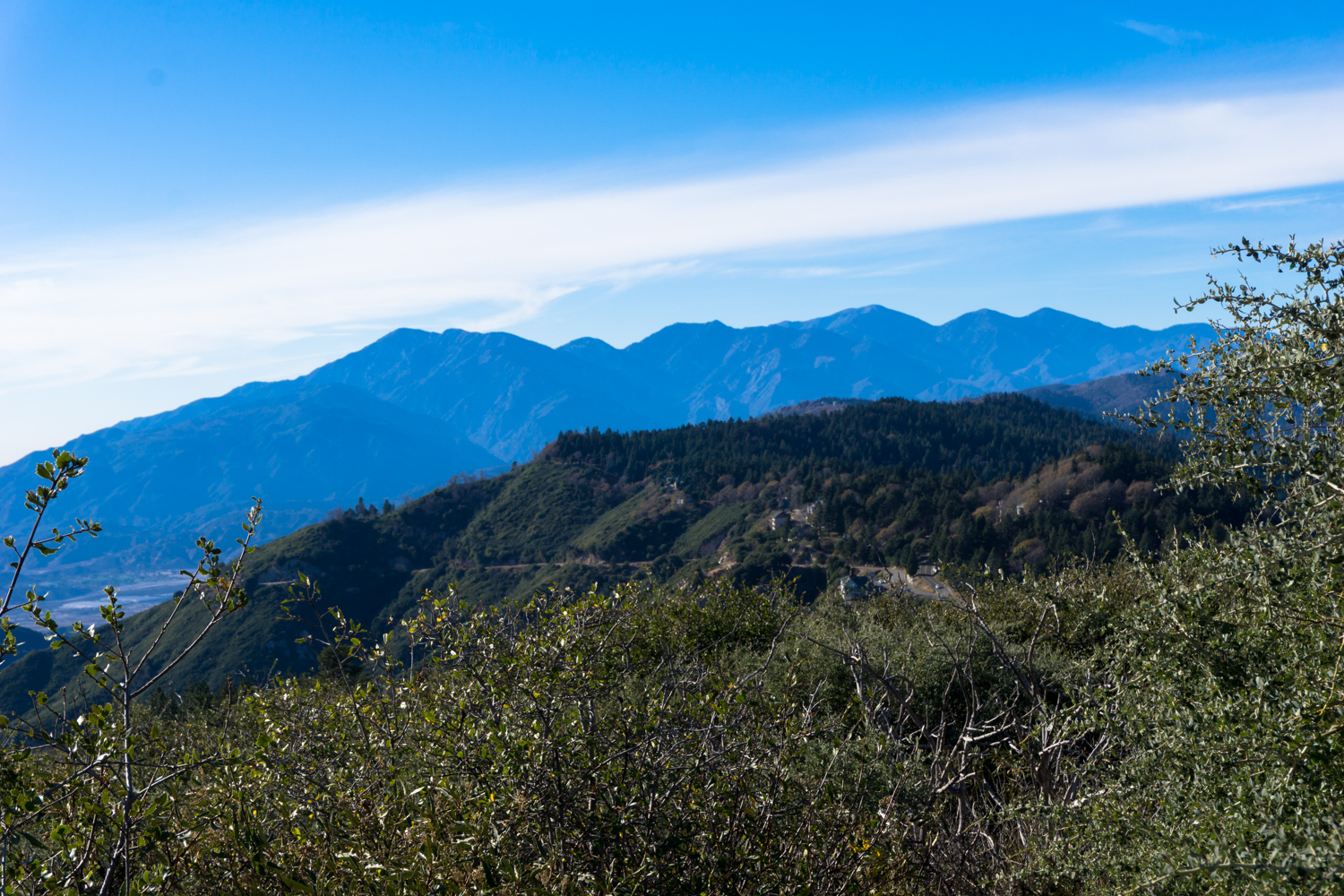
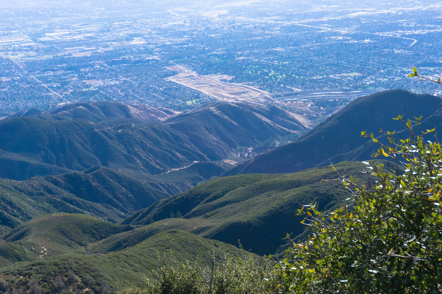
Not to be confused with the Strawberry Peak in the San Gabriel Mountains, the San Bernardinos version lacks the hands-on scrambling and seclusion of its rugged western cousin, but instead offers up some spectacular views and the ability to pop inside an historic fire lookout still manned by volunteers. And yes, there’s still a good climb if you’re looking for a workout. This route begins near a large stone gate marked with a sign for the San Bernardino Mountains Land Trust. This area is popular with schoolchildren in the region, and there are interpretive displays set up along the lower network of trails. Large carved stones feature words used by the Serrano Tribe that previously lived here. Keep to the right to begin your gradual ascent. The trail here is wide and heavily forested. You’ll have lots of shade and enjoy the rich scent of pine in the air as you continue onward. At 0.4 mile, the trail leaves the forest cover for some low chaparral and manzanita. Look for a spur trail heading to the southeast. This will take you to a clearing at Red Rock Wall Point, which offers up some beautiful views in nearly every direction. to the west, Mount Baldy and its companion peaks … and unfortunately, a fire Backtrack to the trail, then keep to the right. The trail hugs the north side of the Rim of the World Highway, and at mile 1 passes beneath one of the most majestic Jeffrey pines I have ever seen in my life: From here, the established (and easy) trail heads north back to the trailhead. Instead, you will continue hiking to the northeast, aiming for a small parking area that functions as an alternate trailhead for those coming to the region from the Rim of the World Highway. Behind two large water tanks, a series of very steep, very unmaintained use trails switchback their way up the side of Strawberry Peak. Stretch out your legs, steel your spine, and head on up — there are a few branches along the way, but you’ll be climbing up just over 600 feet in about 0.6 mile. It’s not technical, but the ground may be slipper
Trail Stats
3.9 km
259 m
1884 m
1653 m
—
Photos

Trail photo
No caption provided.

Trail photo
No caption provided.

Trail photo
No caption provided.

Trail photo
No caption provided.
Trail photo
No caption provided.
Trail photo
No caption provided.

Trail photo
No caption provided.

Trail photo
No caption provided.

Trail photo
No caption provided.