2 min
Overview
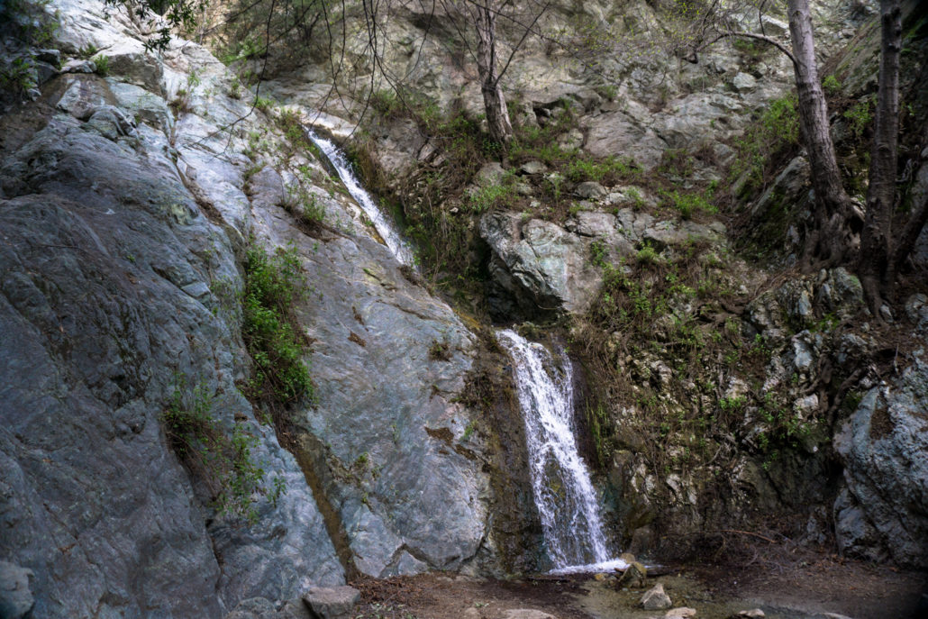
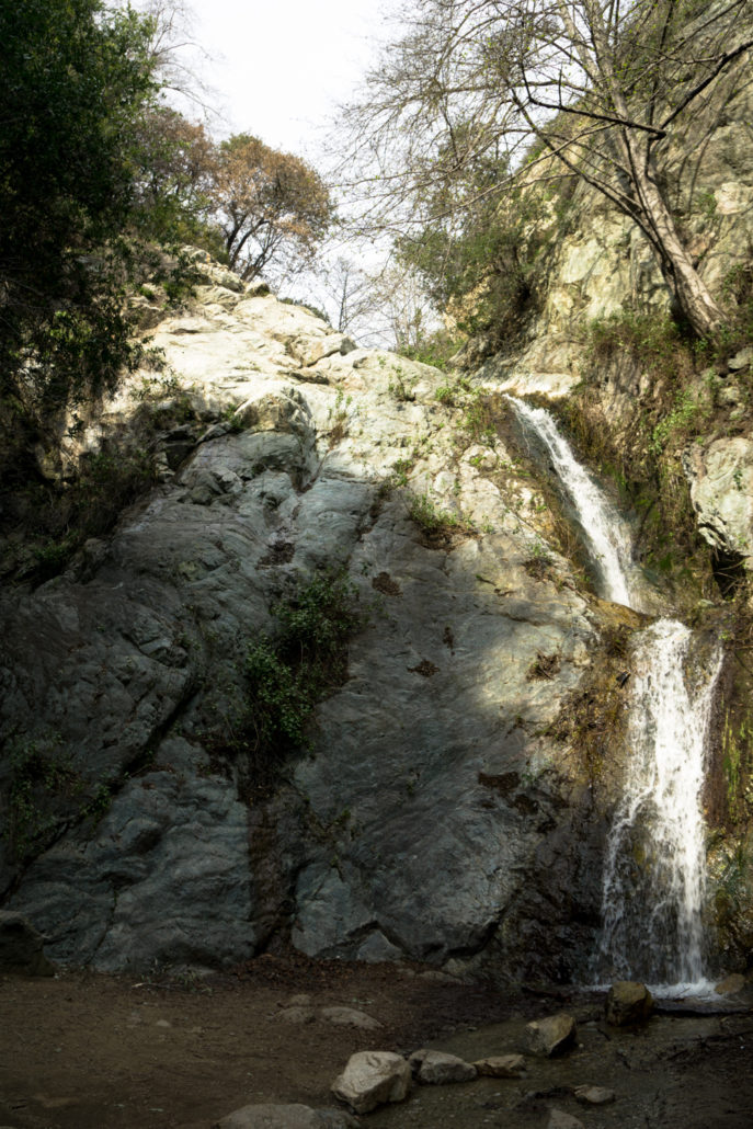
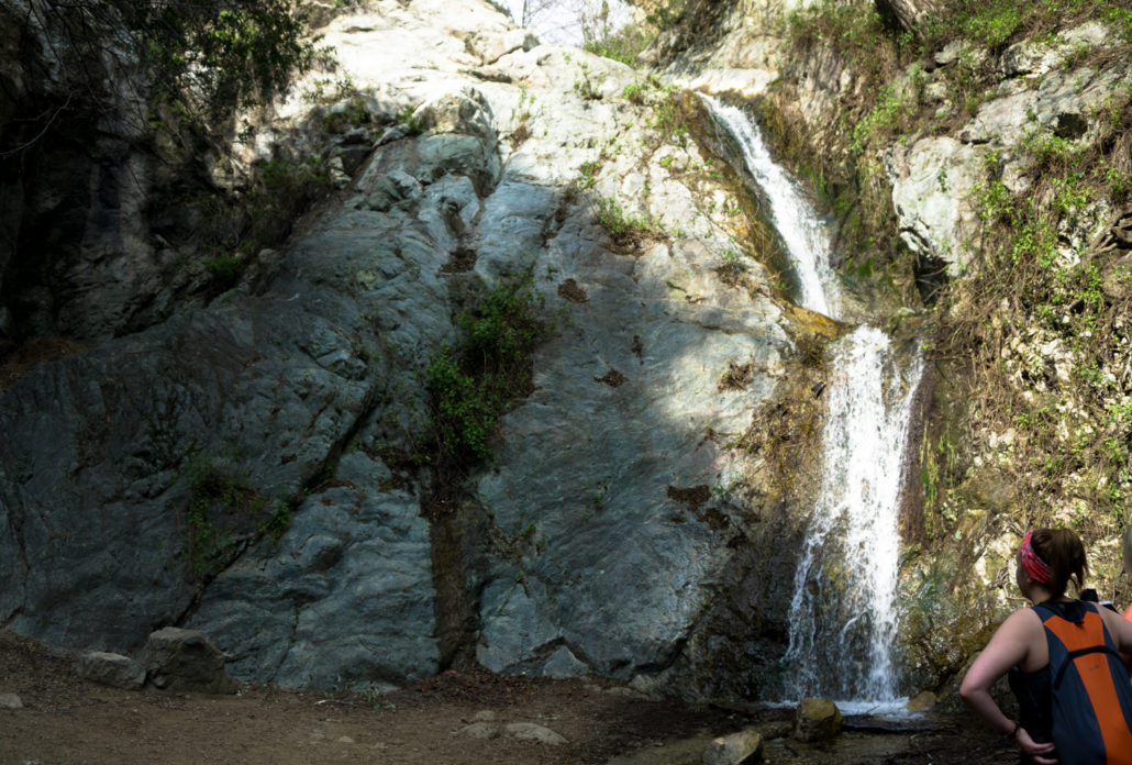
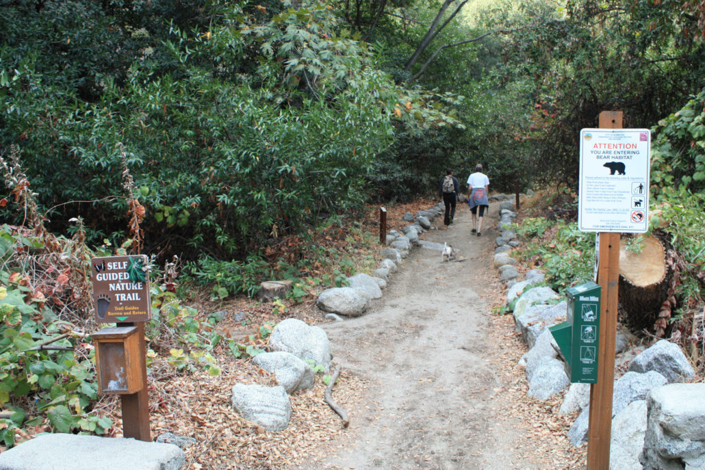
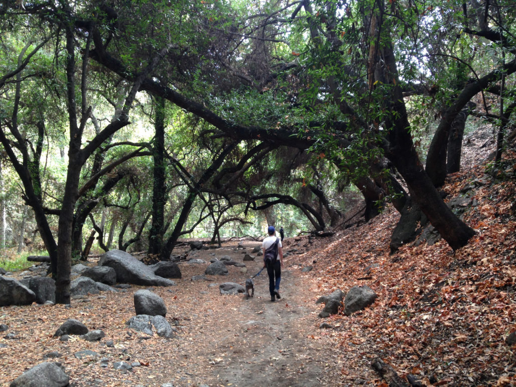
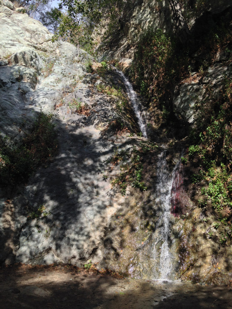
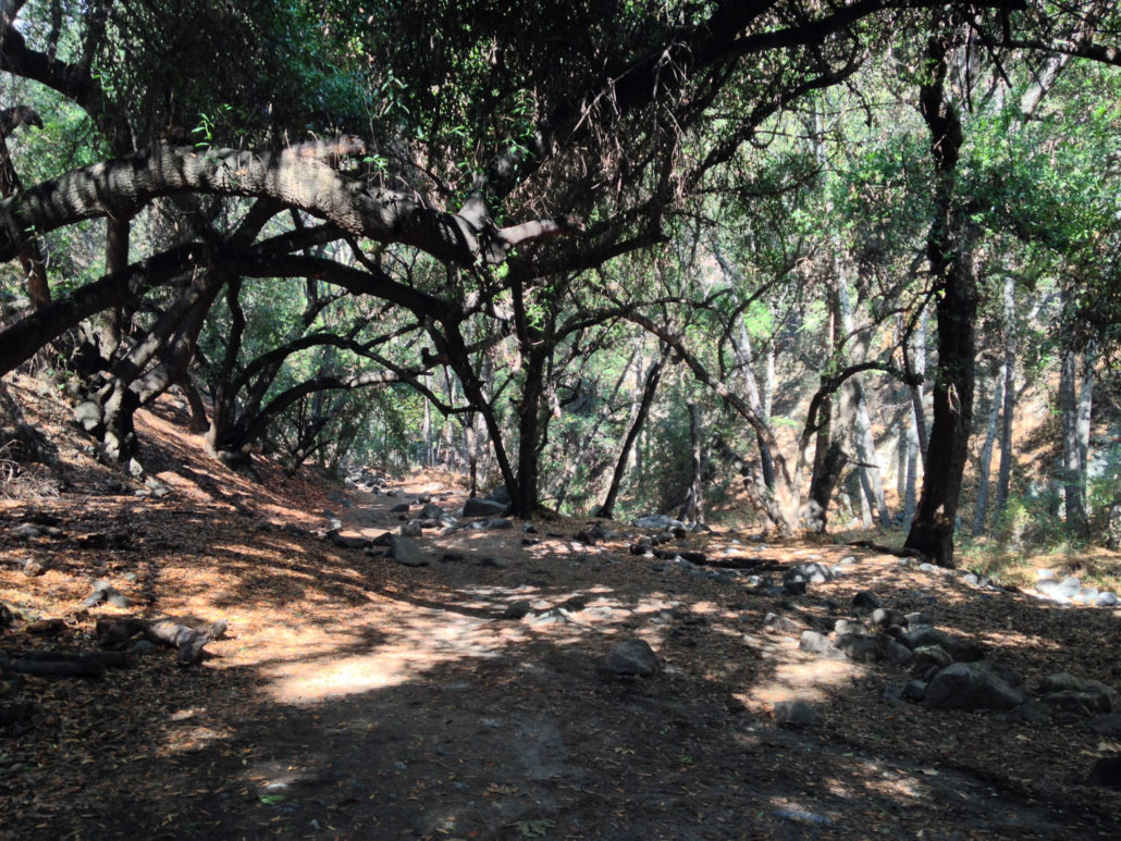
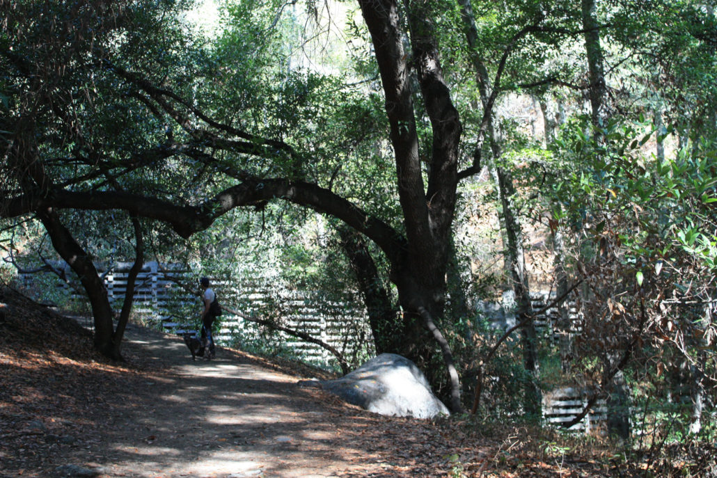
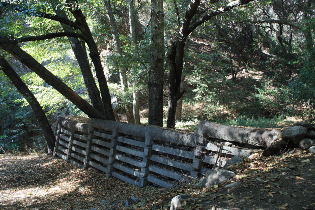
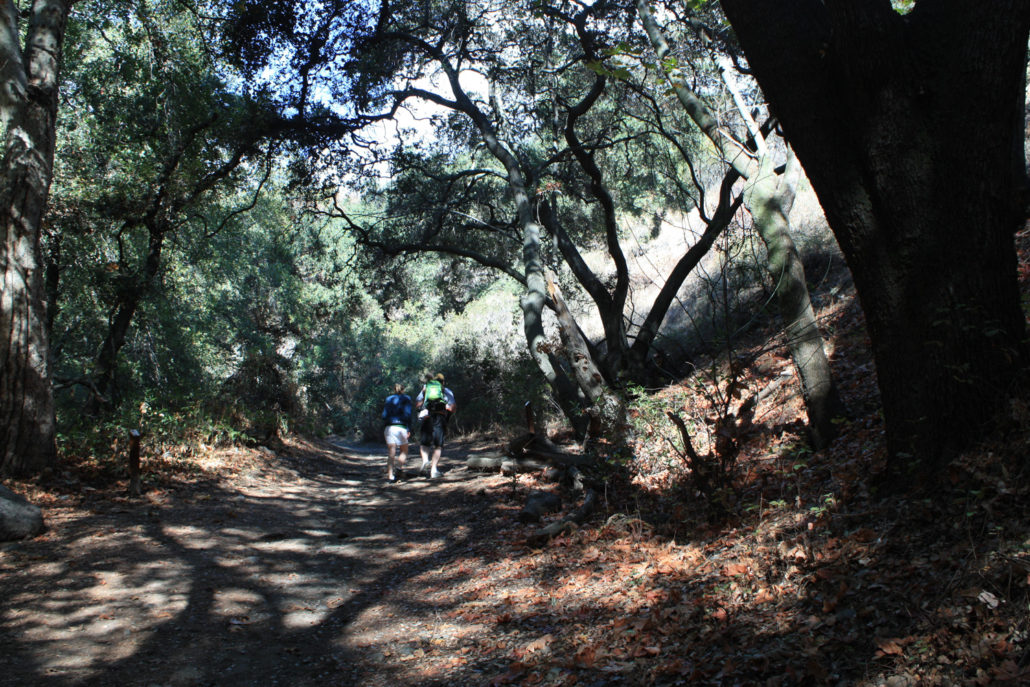
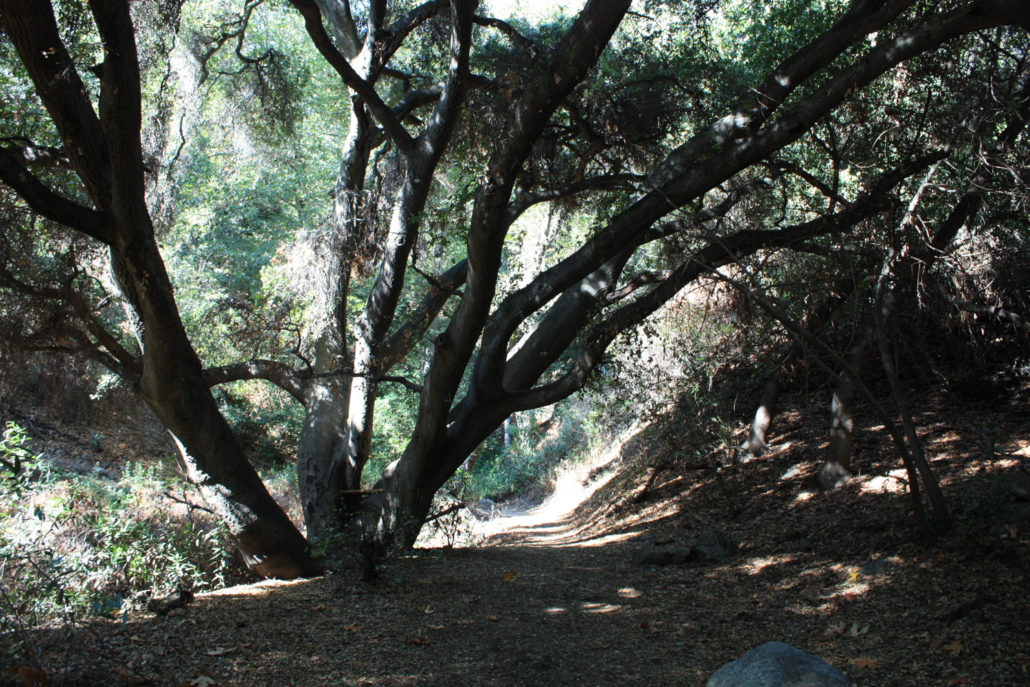
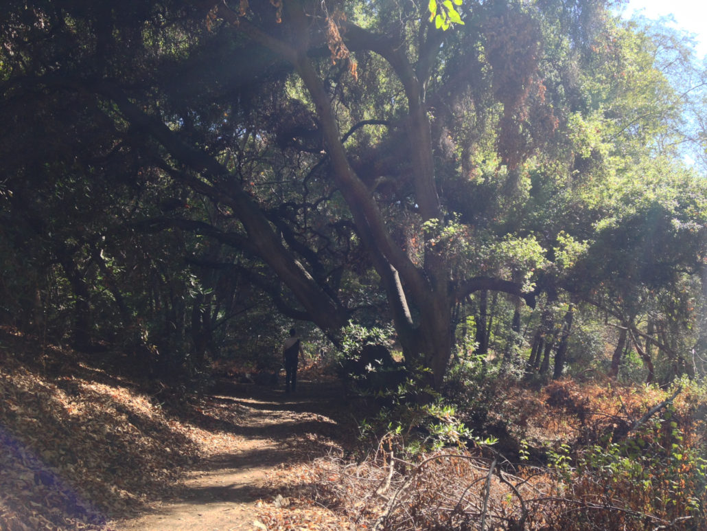
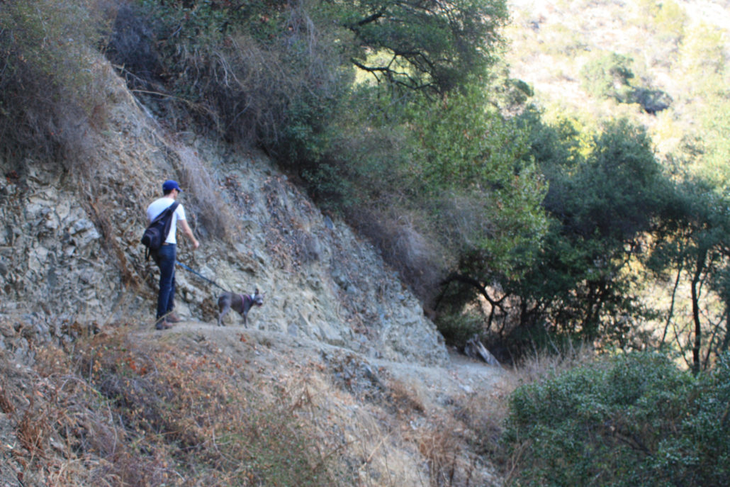
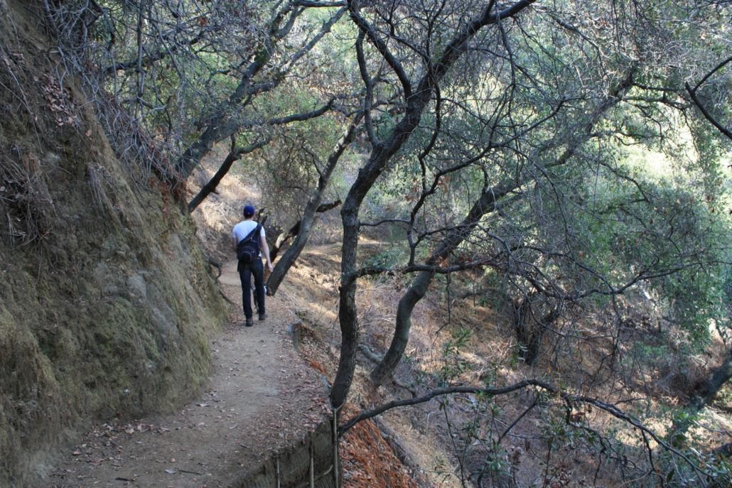
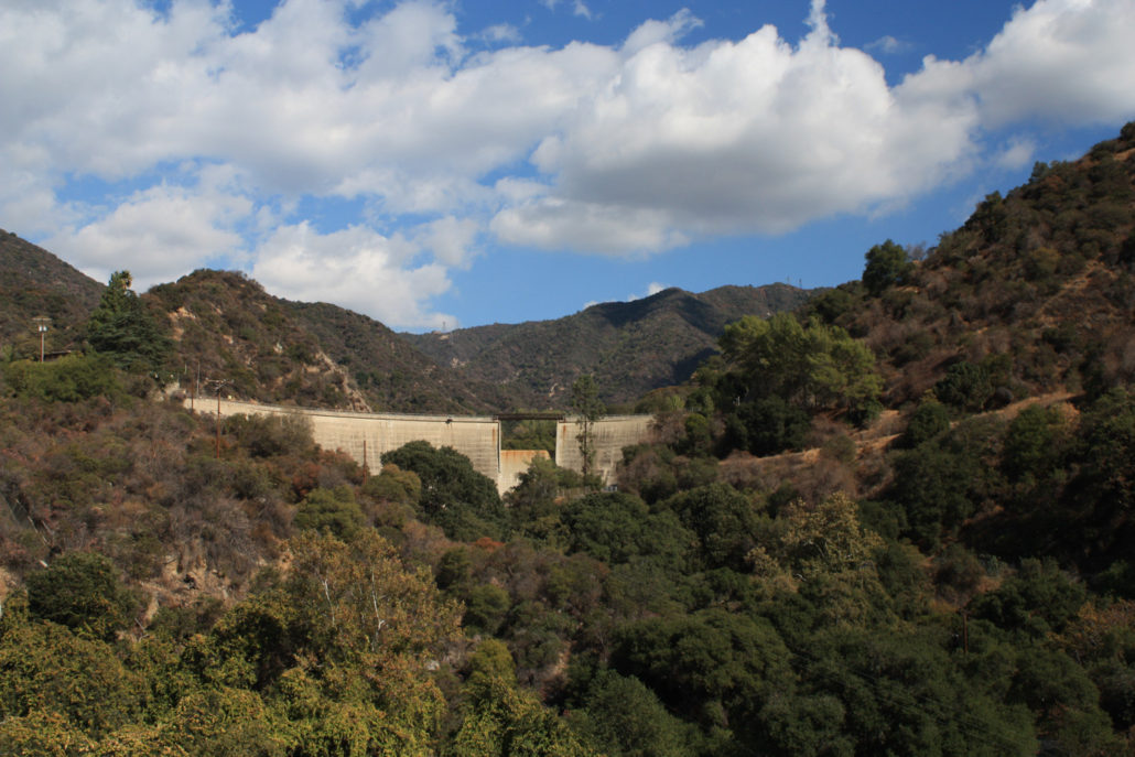
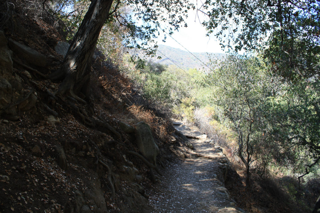
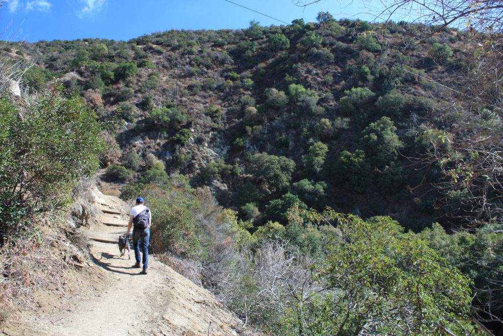
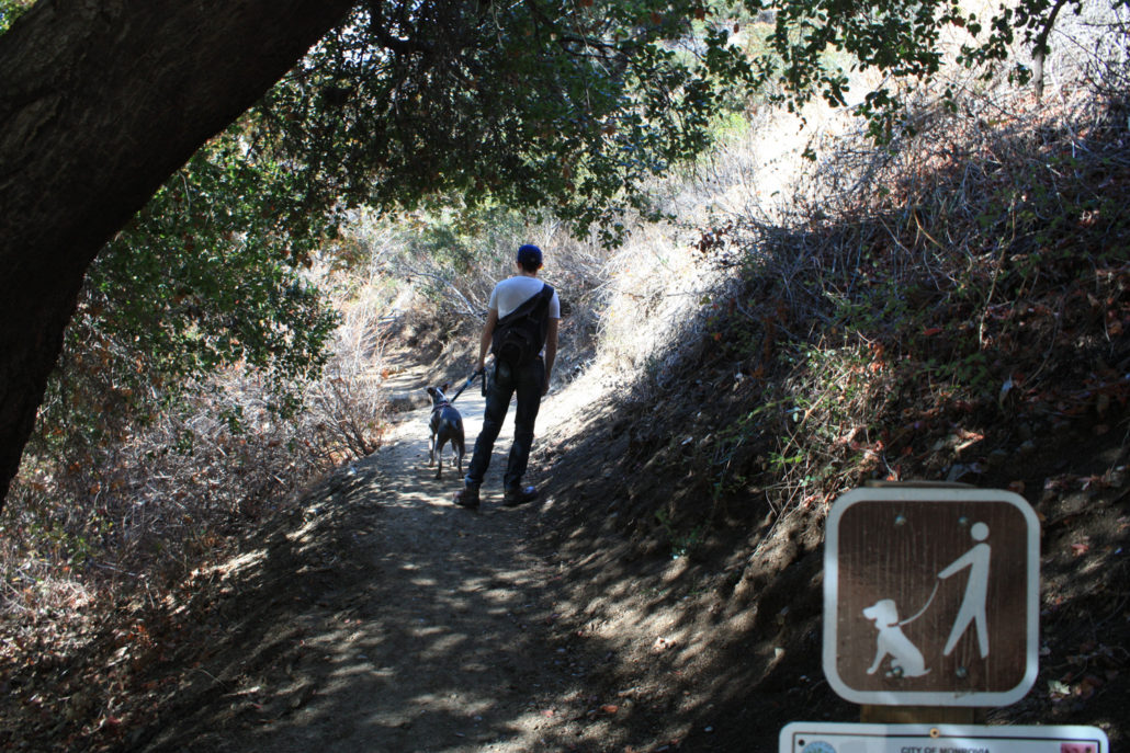
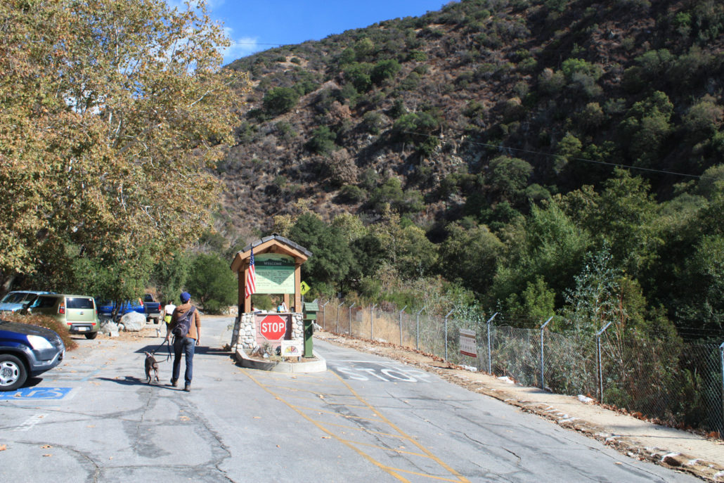
Monrovia Canyon Park is a small, 80-acre park that sits just outside the boundaries of the Angeles National Forest in the foothills of the San Gabriels – but don’t let its small size or city park status dissuade you from a visit. Monrovia Canyon not only features a year-round cascading 30-foot waterfall, but it’s also one of the loveliest riparian canyons I’ve had the pleasure of hiking in – and it’s very accessible for families and our four-legged friends. This route follows the Bill Cull Trail from the lower parking area to Monrovia Canyon Falls, then returns through Emerson Flat and along the paved road. You will have several different options when hiking here, however. If you decide to park at the Middle Parking Lot, it’s only 1 mile to the falls, and if you park at the Nature Center it’s only 3/4 of a mile one-way. From the Lower Lot, however, park and pay your automobile admission fee ($5 during the week, $6 on weekends and holidays) then hike past the entry kiosk and look for the signed entrance to the Bill Cull Trail on your left. Take a left to start your ascent – making sure to follow the signed regulations at all times: This first stretch of trail is only 0.2 miles long, but somehow manages to travel west, east, north, and then south all in that short distance. The trail itself is typical south-facing San Gabriels terrain but also features some wonderfully fragrant plants along the way as well. Keep your eyes (and noses) peeled for California bay laurel, black sage, and several very large white sage clusters along this stretch. Gently rub your hands along their leaves for some wonderful smells – just make sure you know exactly what plant you’re looking at before you start rubbing your hands all over it! To the northeast, the large curved concrete form of the Sawpit Dam will come into view. This imposing 147-foot tall structure was built in 1927 as a flood control dam but shortly after it was completed, engineers discovered the foundation beneath the dam was too weak to hold the water it was designed
Trail Stats
4.2 km
207 m
527 m
332 m
—
Photos
Trail photo
No caption provided.
Trail photo
No caption provided.
Trail photo
No caption provided.
Trail photo
No caption provided.
Trail photo
No caption provided.
Trail photo
No caption provided.
Trail photo
No caption provided.
Trail photo
No caption provided.
Trail photo
No caption provided.
Trail photo
No caption provided.
Trail photo
No caption provided.
Trail photo
No caption provided.
Trail photo
No caption provided.
Trail photo
No caption provided.
Trail photo
No caption provided.
Trail photo
No caption provided.
Trail photo
No caption provided.
Trail photo
No caption provided.
Trail photo
No caption provided.
Trail photo
No caption provided.
Trail photo
No caption provided.
Trail photo
No caption provided.