1 min
Overview
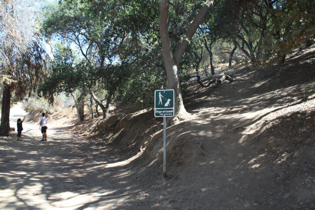
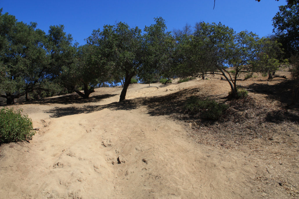
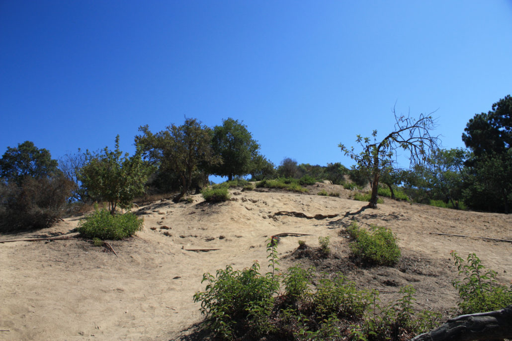
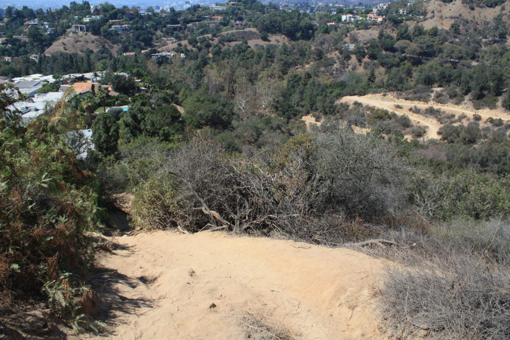
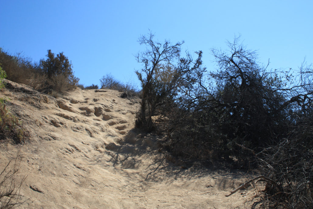
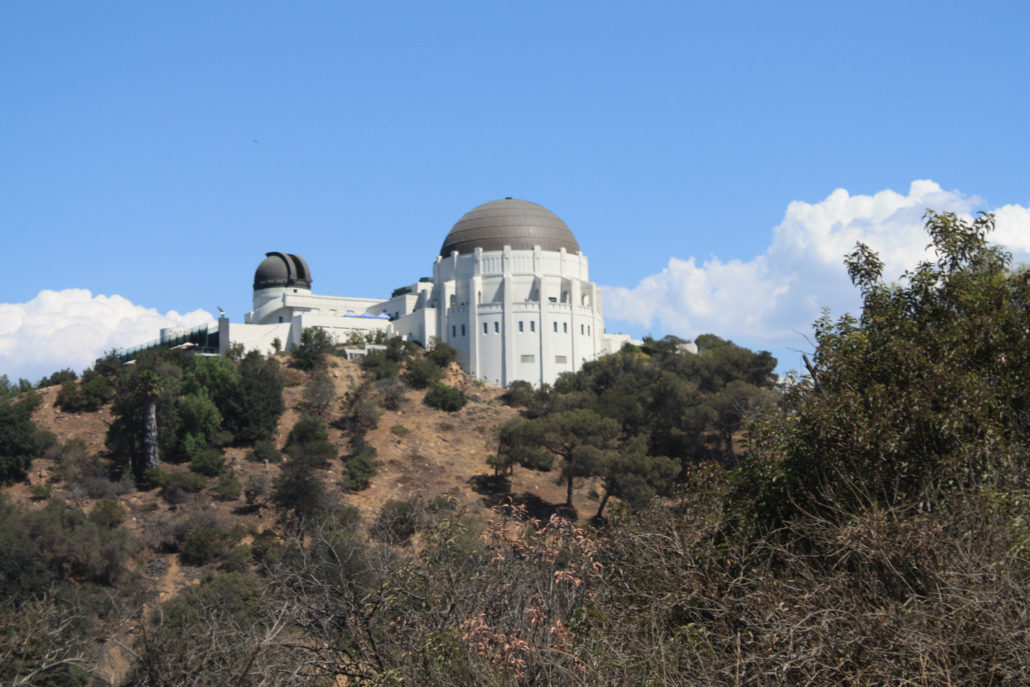
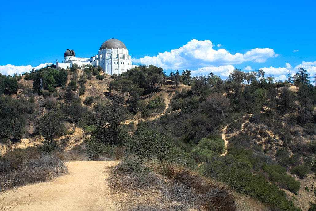
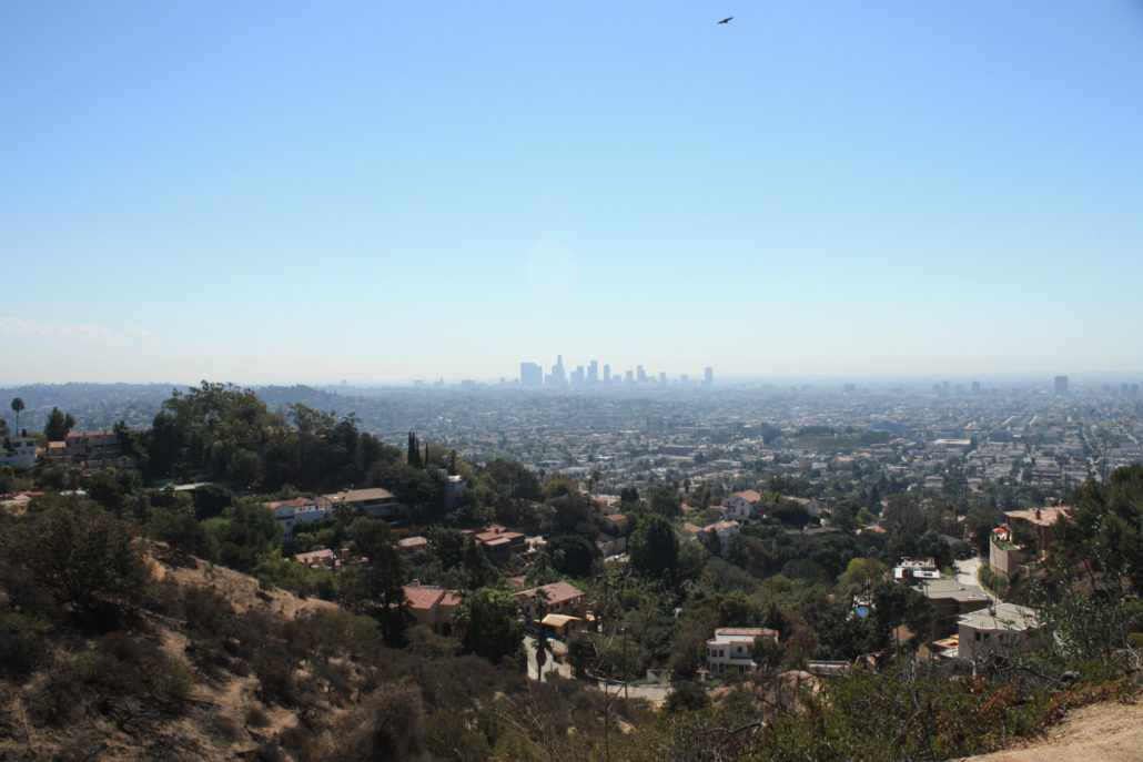
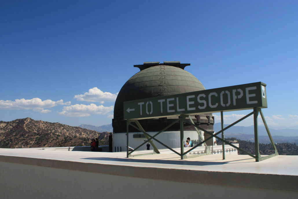
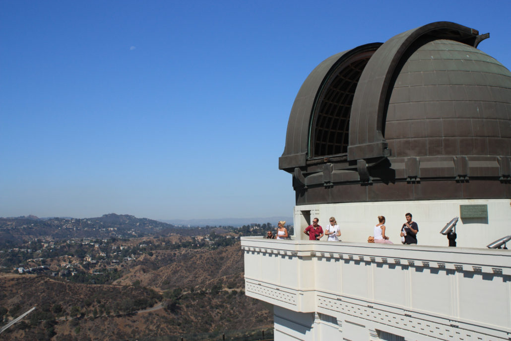
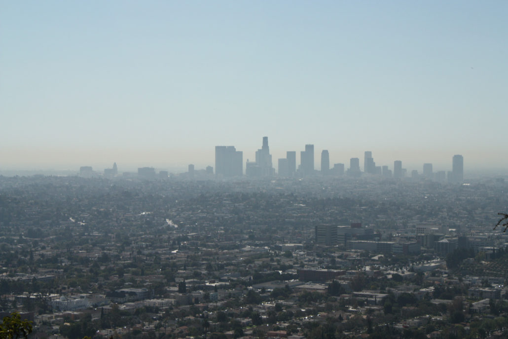
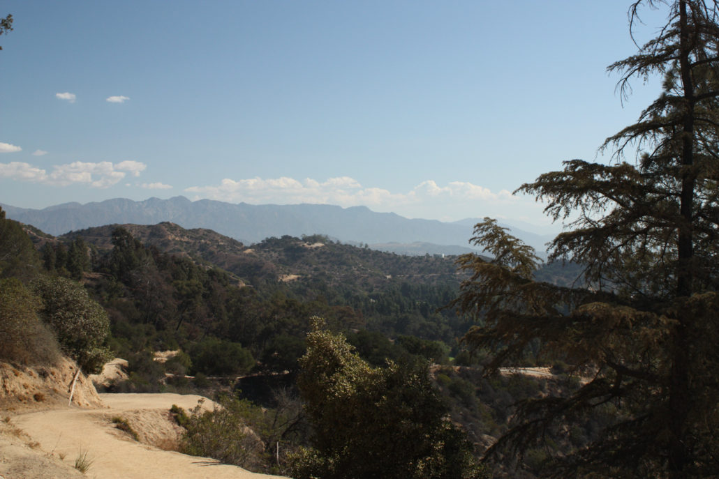
Griffith Observatory is one of the most popular attractions in Griffith Park and there is no shortage of ways to get to it. You can drive right up to it and brave the madhouse of free parking, take the Observatory Shuttle on the weekends, or travel on foot via a variety of trails or fire roads. There’s an approach for every level of difficulty and time constraints – but this firebreak route is a really fun alternative to the popular West Observatory Trail … or just a fun side trail to tack on to your climb or descent. This route begins at the same place the more standard West Observatory Trail does – just north of the Trails Cafe near the Fern Dell area of the park. Walk across the bridge and through the play area. On your left, you’ll see a fire road ascending through the trees (the West Observatory Trail). Ignore this and cross the bridge over the arroyo, then ignore the other fire road that heads toward the observatory and instead look for well-worn trail on the south/east side of the road, right next to a sign about keeping your dogs on their leashes. This, ladies and gentlemen, is the Firebreak Trail. It’s a very unofficial route so don’t expect things like an established trail – or even many other people. Instead, you’ll walk through the trees right next to the fire road for a short distance and then come upon a steep, eroded hill. The one direction here: go up. This steep section of trail sometimes has small steps cut into the hill – and at other times just presents you with that great, slippery San Gabriel dirt. Take your time on the ascent and watch your footing. You probably won’t get hurt if you slip, but we don’t want you getting embarrassed on the trail either. After that short steep climb, the trail levels out on a narrow ridge for a bit. From here, you will have some amazing views – on a clear day you’ll be able to make out downtown Los Angeles, the Hollywood Sign, and – of course – the Griffith Observatory … sometimes all at once! After that short plateau in the middle of your hike, you’ll be fa
Trail Stats
2.1 km
155 m
346 m
189 m
—
Photos
Trail photo
No caption provided.
Trail photo
No caption provided.
Trail photo
No caption provided.
Trail photo
No caption provided.
Trail photo
No caption provided.
Trail photo
No caption provided.
Trail photo
No caption provided.
Trail photo
No caption provided.
Trail photo
No caption provided.
Trail photo
No caption provided.
Trail photo
No caption provided.
Trail photo
No caption provided.
Trail photo
No caption provided.
Trail photo
No caption provided.
Trail photo
No caption provided.