1 min
Overview
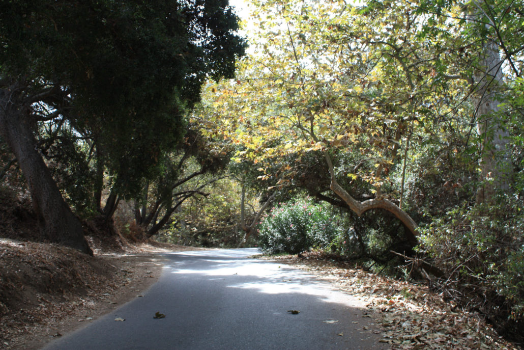
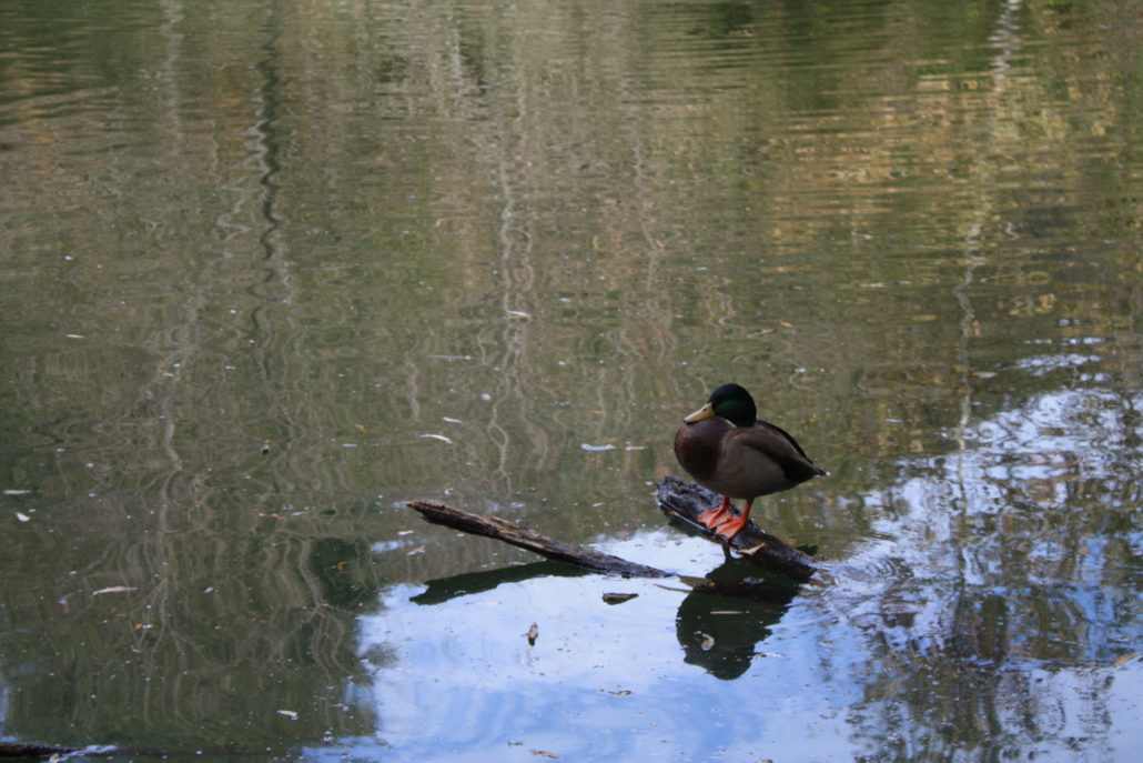
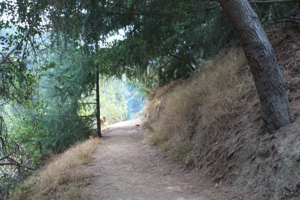
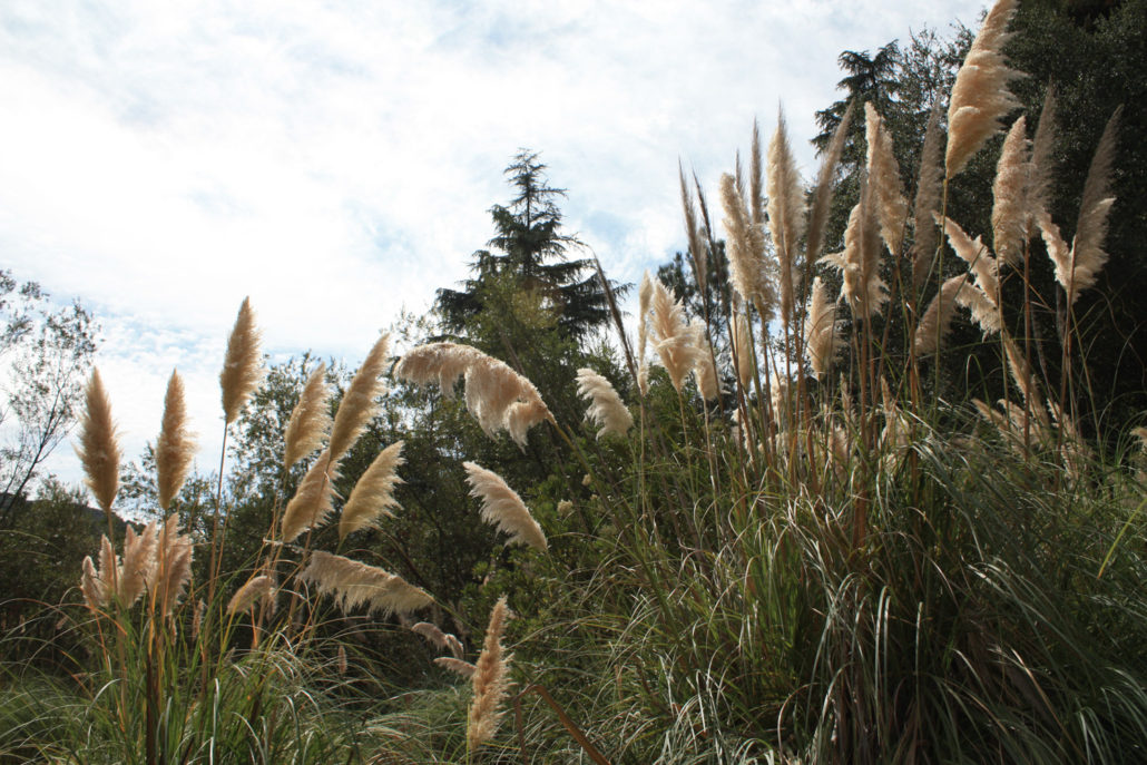
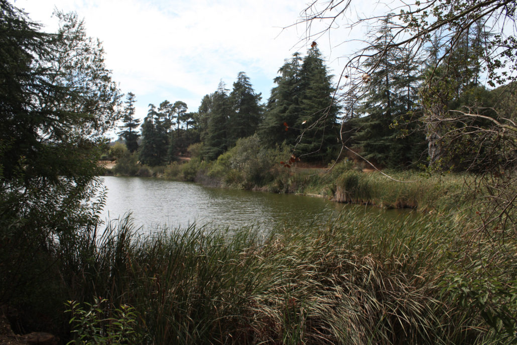
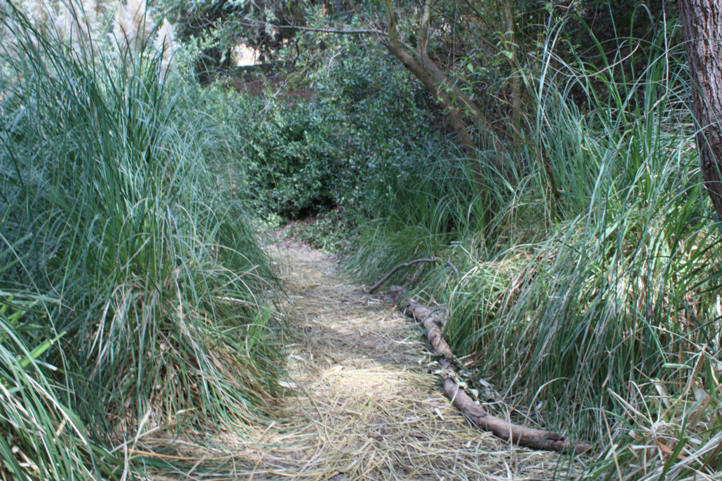
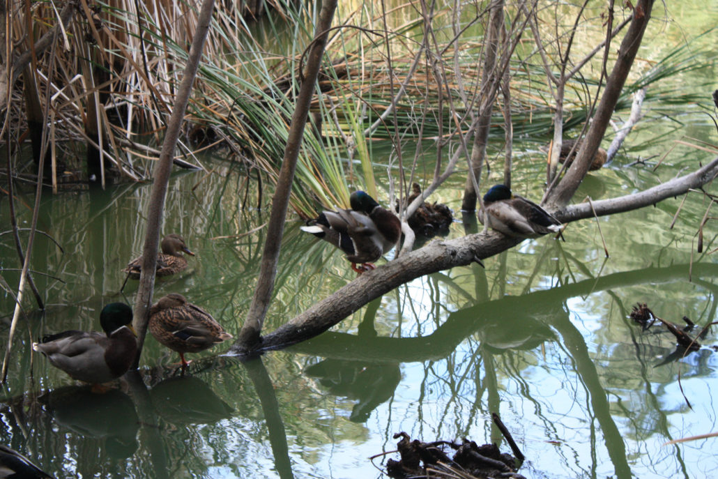
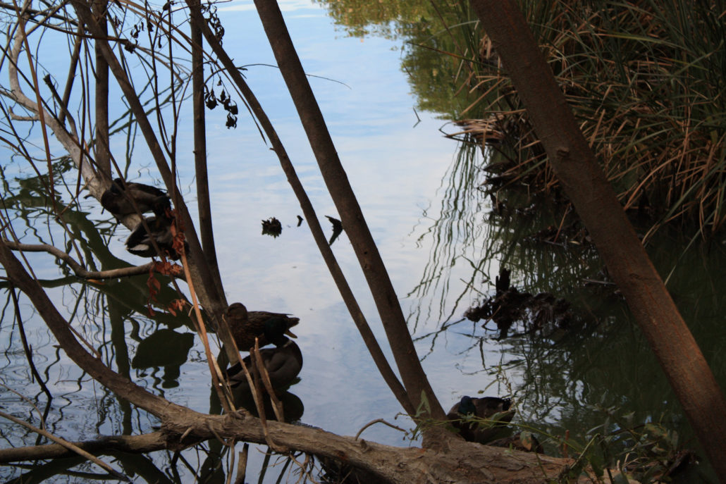
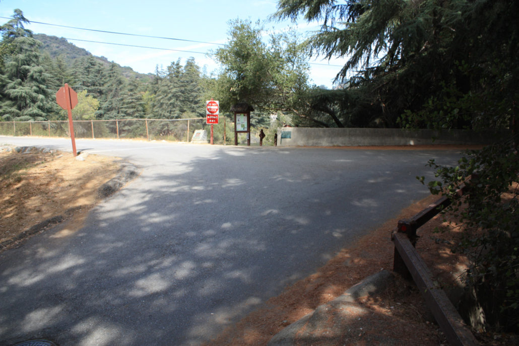
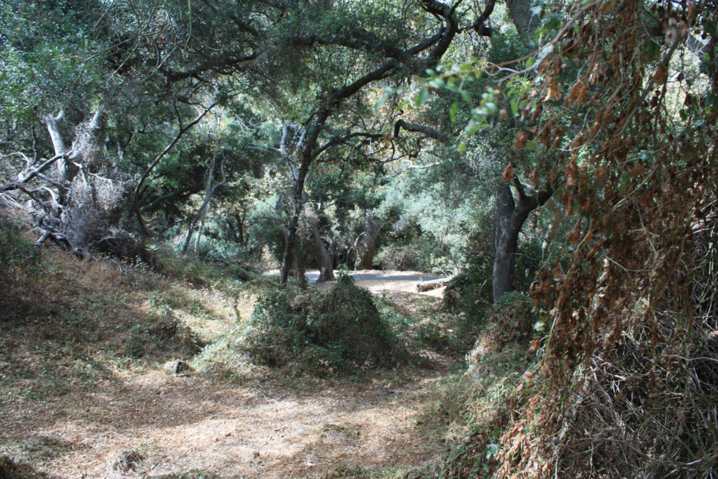
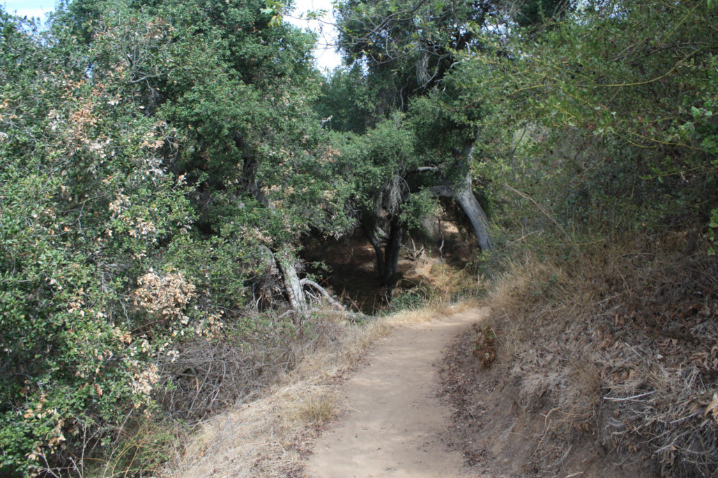
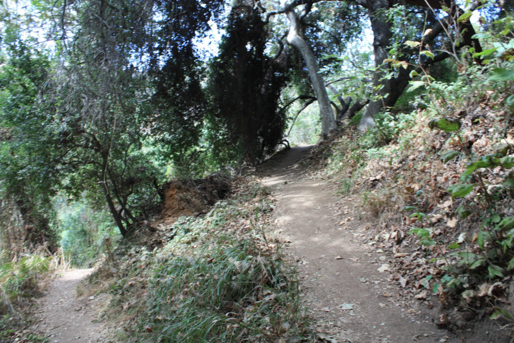
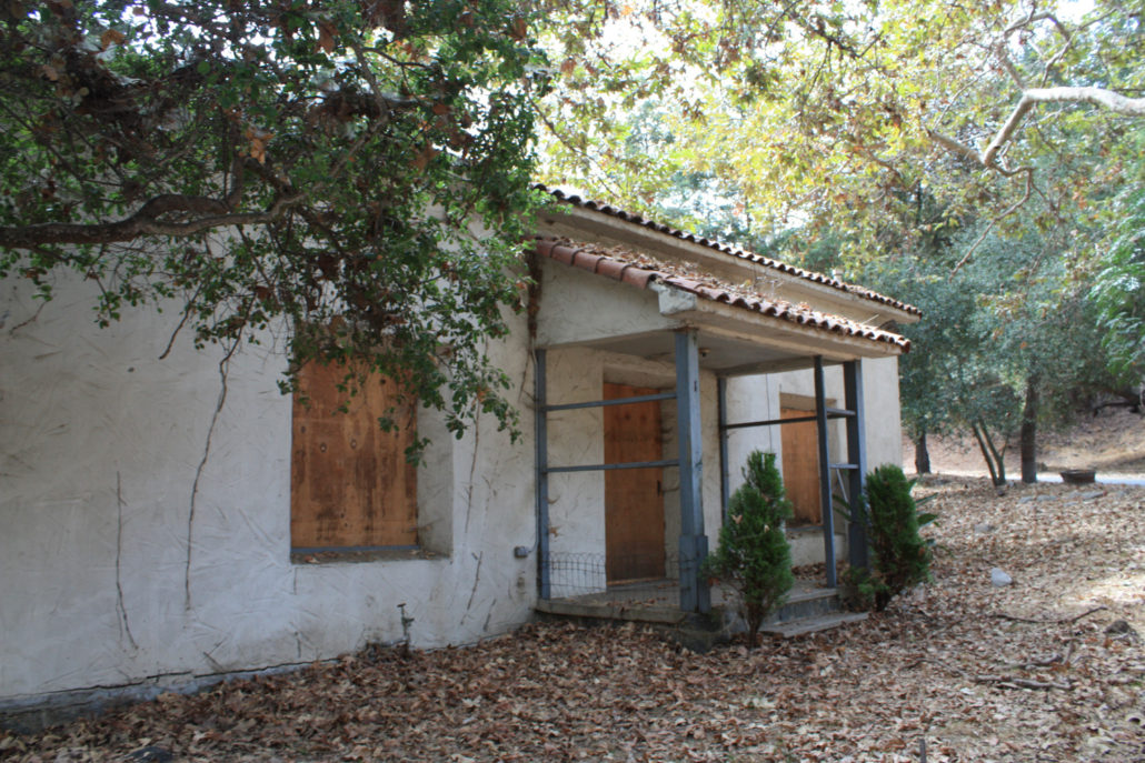
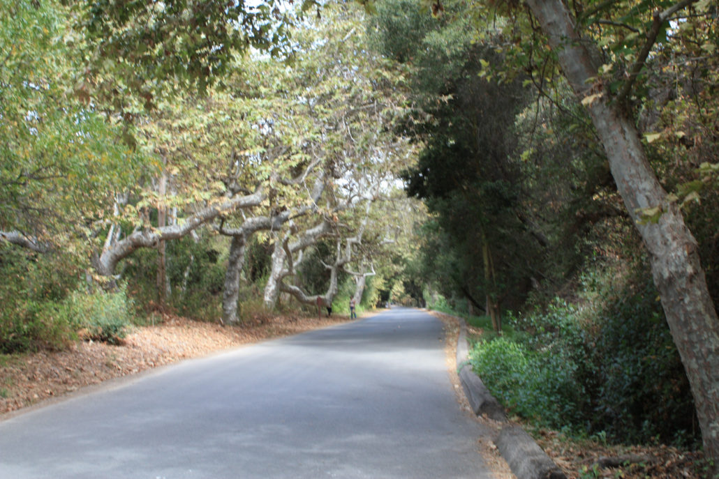
This short and easy loop in the north end of Franklin Canyon Park is a great introduction to the area – and a reminder of what kinds of hidden gems are scattered all over the city. There are lots of opportunities to leave the reservoir loop to explore the park – or just sit by the shores and birdwatch, too. This is also where the opening to “The Andy Griffith Show” was filmed – as well as one of the sites of Camp Anawana from Nickelodeon’s “Salute Your Shorts.” On my initial trip to Franklin Canyon Park, I wanted to try to do a large loop that linked the southern and northern portions of the park together – but I was thwarted by some confusing maps and unsigned trails. Instead, I split my trip into two separate loop hikes. This northern loop is shorter, flatter, and generally pretty easy all-around. For the purposes of this write up, I started on the ranch trail near the intersection of Lake Drive and Franklin Canyon Drive, but you could pretty much hop onto this loop from anywhere along the route. Parking is very limited at this intersection, but there’s plenty of room further north or south. If you start at this intersection, across the street from the old building there’s a short wooden bridge over a creekbed. Cross it and continue climbing up into the shaded forest. In a very short distance – about 225 feet – this spur trail intersects with the Ranch Trail at a sharp corner. Bear left to follow the trail north, parallel with Franklin Canyon Drive. Here, the trail levels out a bit as it meanders through the woods toward the Upper Franklin Canyon Reservoir. This is a short but really lovely stretch of trail that at times doesn’t even feel like it’s in Southern California – and it certainly doesn’t feel right outside Beverly Hills. Ignore the trail to your left at around the 0.3 mile mark and continue on the Ranch Trail until you end up at a street crossing near one of the park’s many motion-sensor traffic cameras. Cross the intersection straight ahead toward the information sign and you’ll end up right along
Trail Stats
2.2 km
30 m
267 m
236 m
—
Photos
Trail photo
No caption provided.
Trail photo
No caption provided.
Trail photo
No caption provided.
Trail photo
No caption provided.
Trail photo
No caption provided.
Trail photo
No caption provided.
Trail photo
No caption provided.
Trail photo
No caption provided.

Trail photo
No caption provided.
Trail photo
No caption provided.
Trail photo
No caption provided.
Trail photo
No caption provided.
Trail photo
No caption provided.
Trail photo
No caption provided.
Trail photo
No caption provided.
Trail photo
No caption provided.

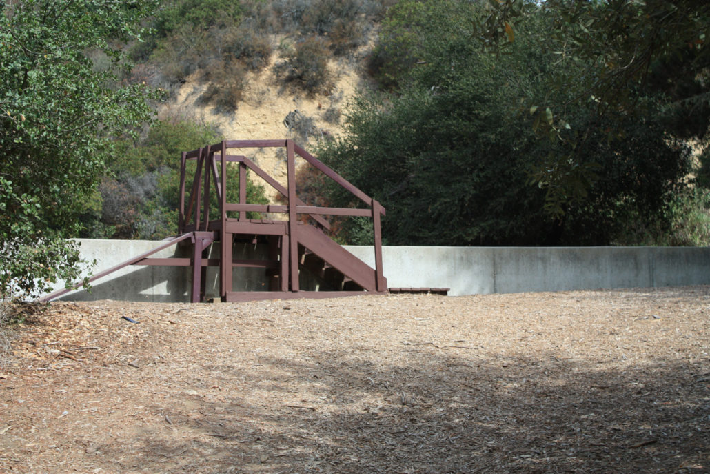
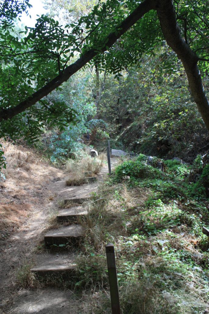
A staircase in the woods at Franklin Canyon
A staircase in the woods at Franklin Canyon
Trail photo
No caption provided.
Trail photo
No caption provided.
Trail photo
No caption provided.