0 min
Overview
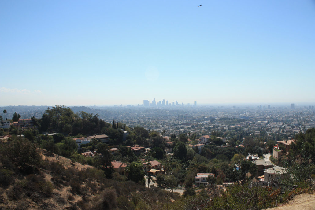
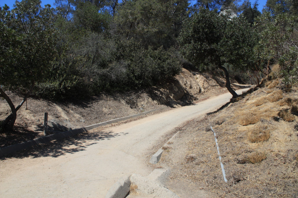
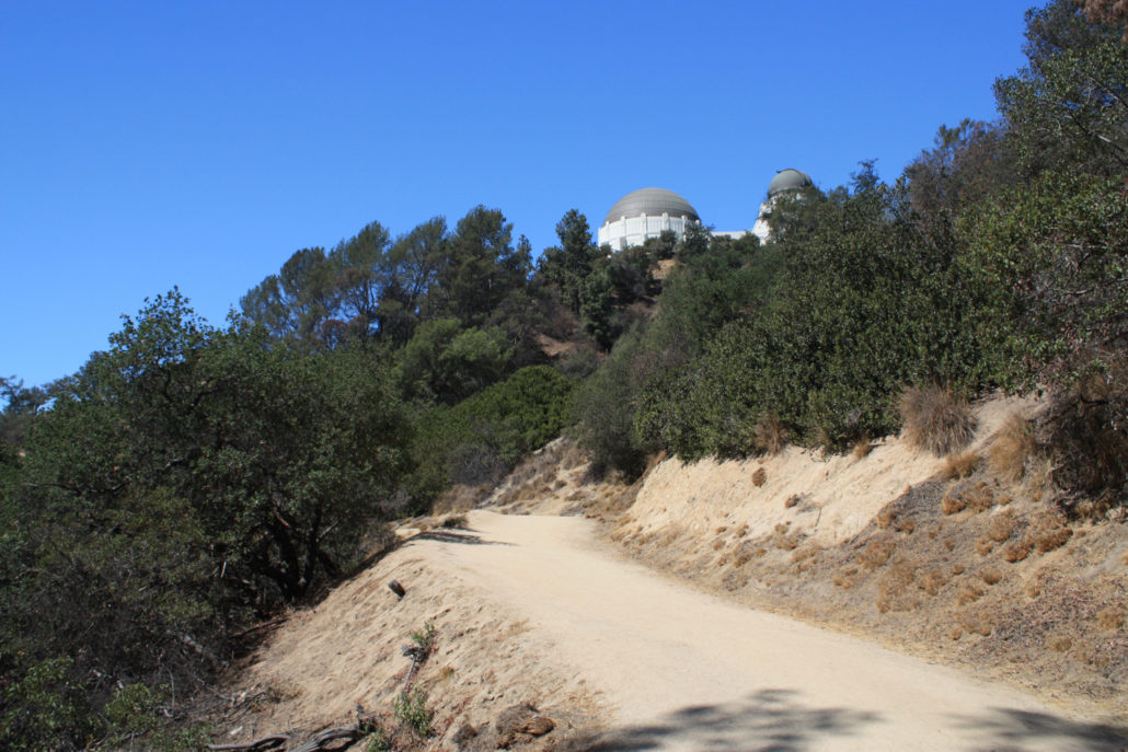
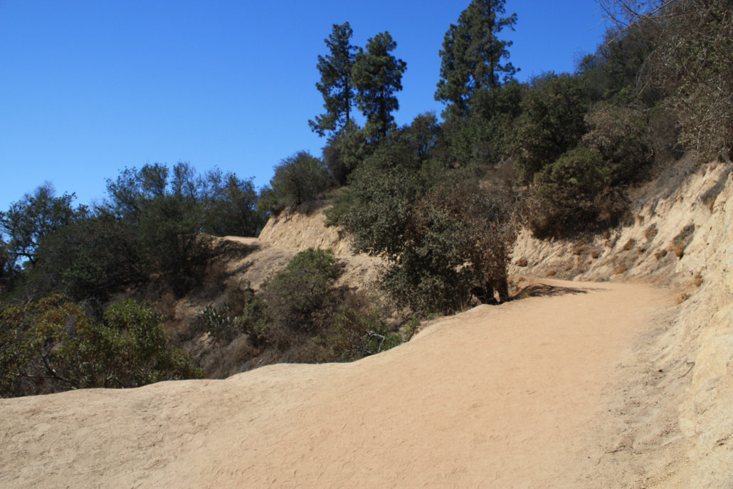
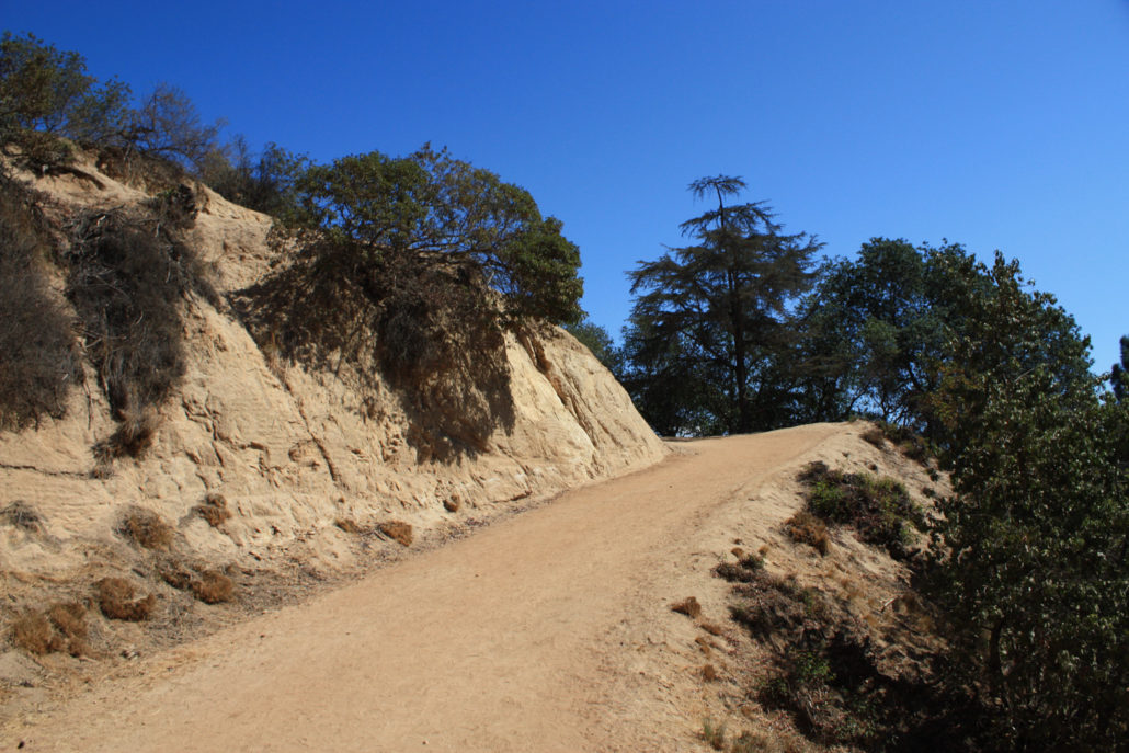
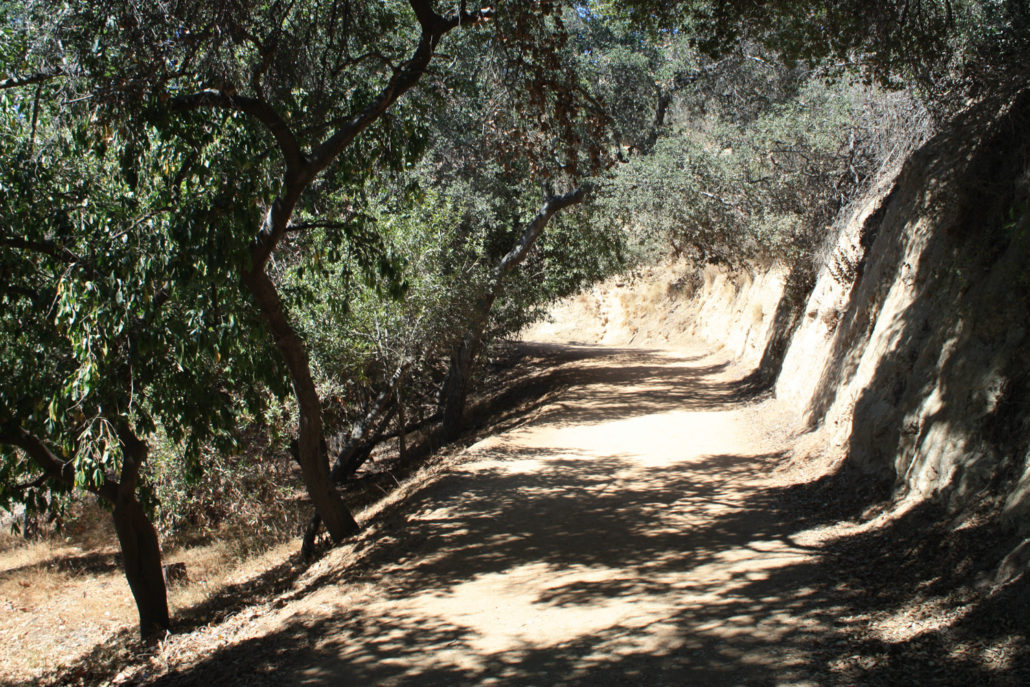
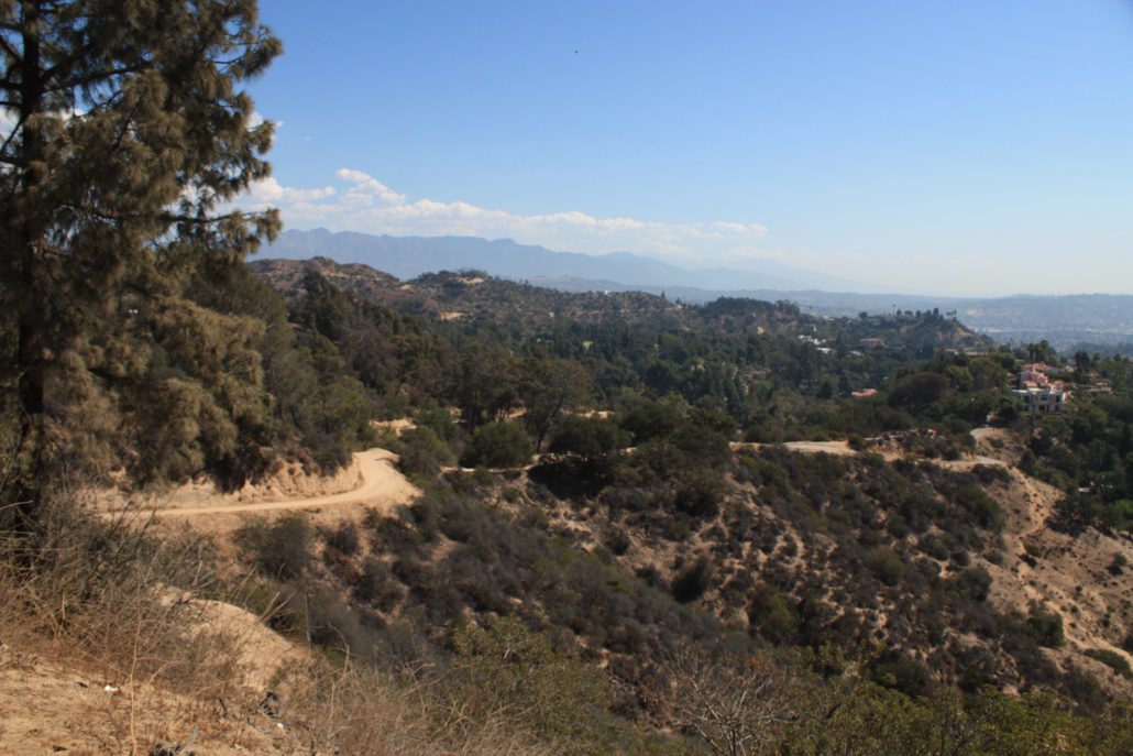
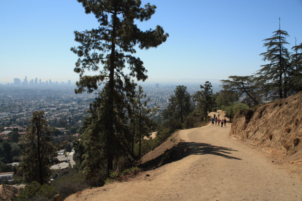
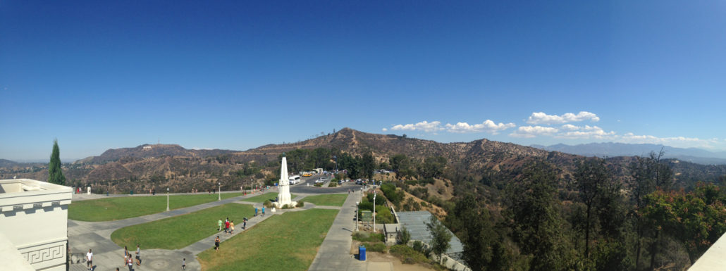
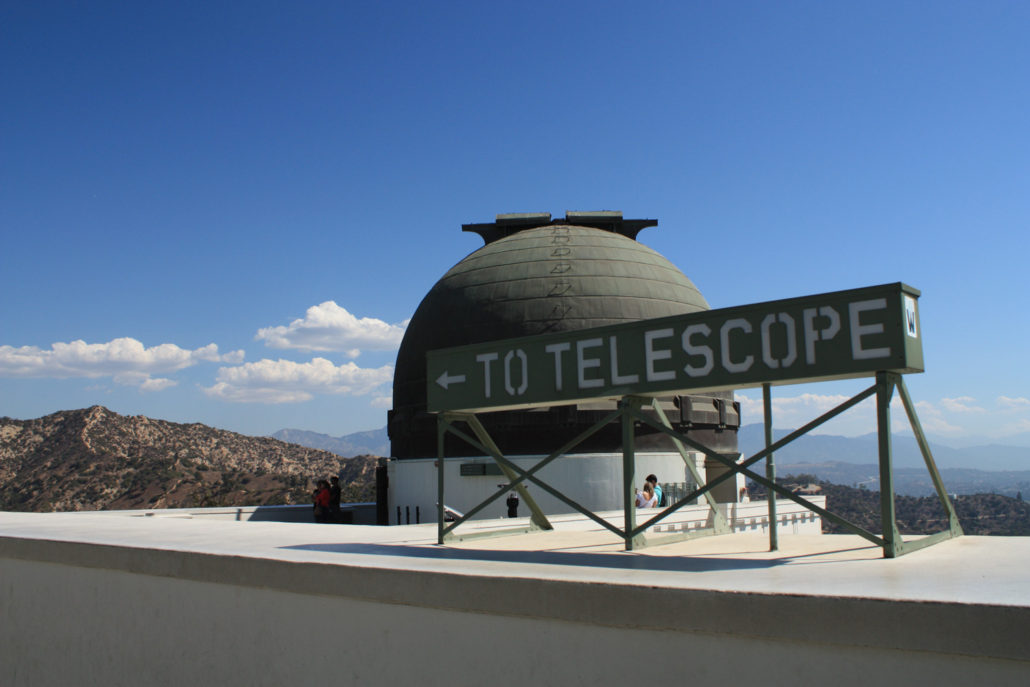
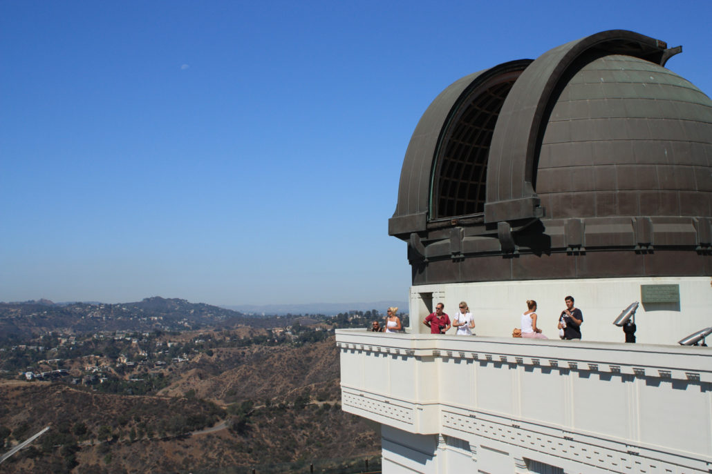
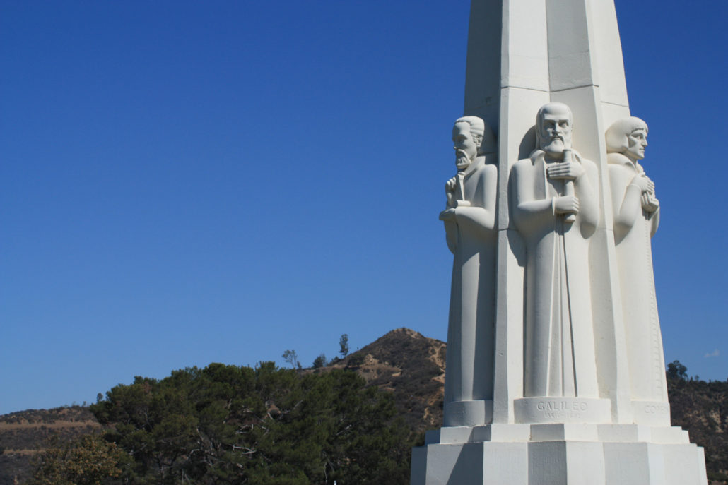
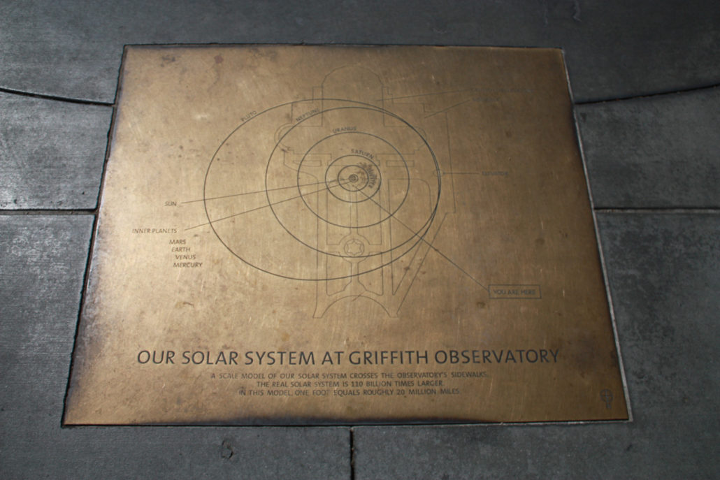
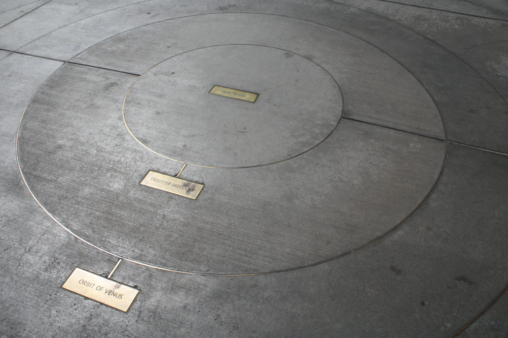
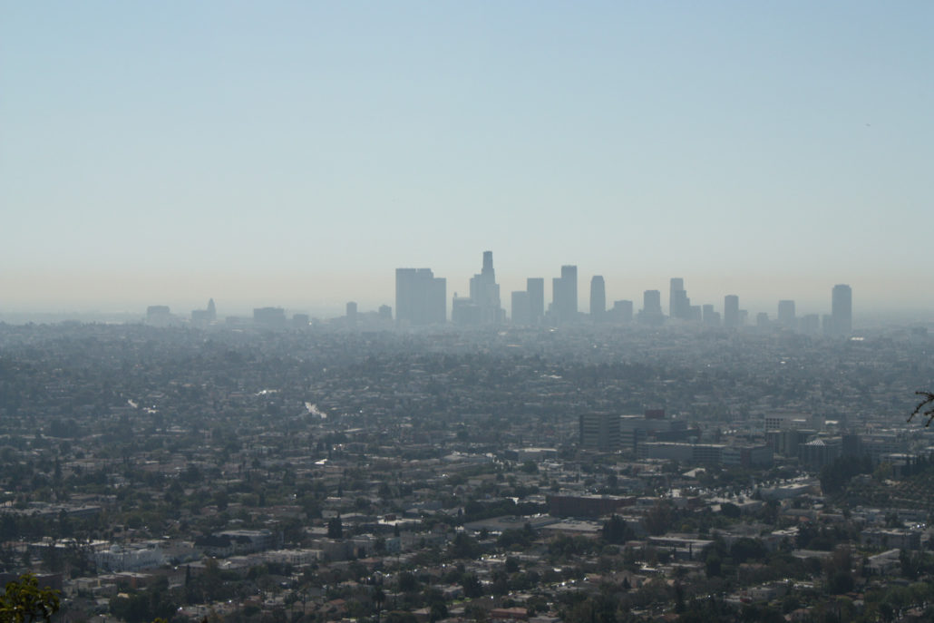
There are probably dozens of ways to get to the excellent Griffith Park Observatory – one of the most popular attractions in Griffith Park. This route details just one of the well-traveled fire road routes that will take you to its beautifully restored doors. If you’re approaching the Observatory from below, there are two main trails most people take. Very few trails are actually signed in Griffith Park, but I tracked down an old map that called this – unsurprisingly – the East Observatory Trail. Park your car (or take the Observatory Shuttle on the weekend!) to the intersection of Vermont and Vista de Valle / Commonwealth Canyon Road and walk west on Vista de Valle. At a long row of parking spaces for Greek Theater patrons, you’ll see a shaded picnic table and a broad fire road rising up near a trash bin. This is the start of your trail. This route is broad, open, easy-to-follow and not that difficult, but it does gain a little over 100 feet of elevation in the first 0.13 miles so you may find yourself feeling it a bit more than you thought you would. The fire road begins in the shade but that first section is all the protection from the sun you’re going to get here – as is the case with most trails in Griffith Park, this one’s full sun most of the way. Around the quarter mile mark, you’ll start to get some very nice views of the Los Angeles basin to your south, just as the domes of Griffith Observatory start peeking up from behind the trees. At the 0.4 mile mark, the fire road meets an old paved road. You can either cut through the brush on a use-trail or just make a short shift to the north on the pavement before rejoining the fire road. In another tenth of a mile, the trail meets up with several other paths to the Observatory. From here, keep a sharp right and continue heading up the fire road to the front of the Observatory. From the front of the Observatory, enjoy the beautiful (and recently restored) art deco architecture, the views of the Hollywood Sign, the statue memorial to James Dean, or the map of
Trail Stats
2.3 km
116 m
347 m
235 m
—
Photos
Trail photo
No caption provided.
Trail photo
No caption provided.
Trail photo
No caption provided.
Trail photo
No caption provided.
Trail photo
No caption provided.
Trail photo
No caption provided.
Trail photo
No caption provided.
Trail photo
No caption provided.
Trail photo
No caption provided.
Trail photo
No caption provided.
Trail photo
No caption provided.
Trail photo
No caption provided.
Trail photo
No caption provided.
Trail photo
No caption provided.
Trail photo
No caption provided.
Trail photo
No caption provided.