1 min
Overview
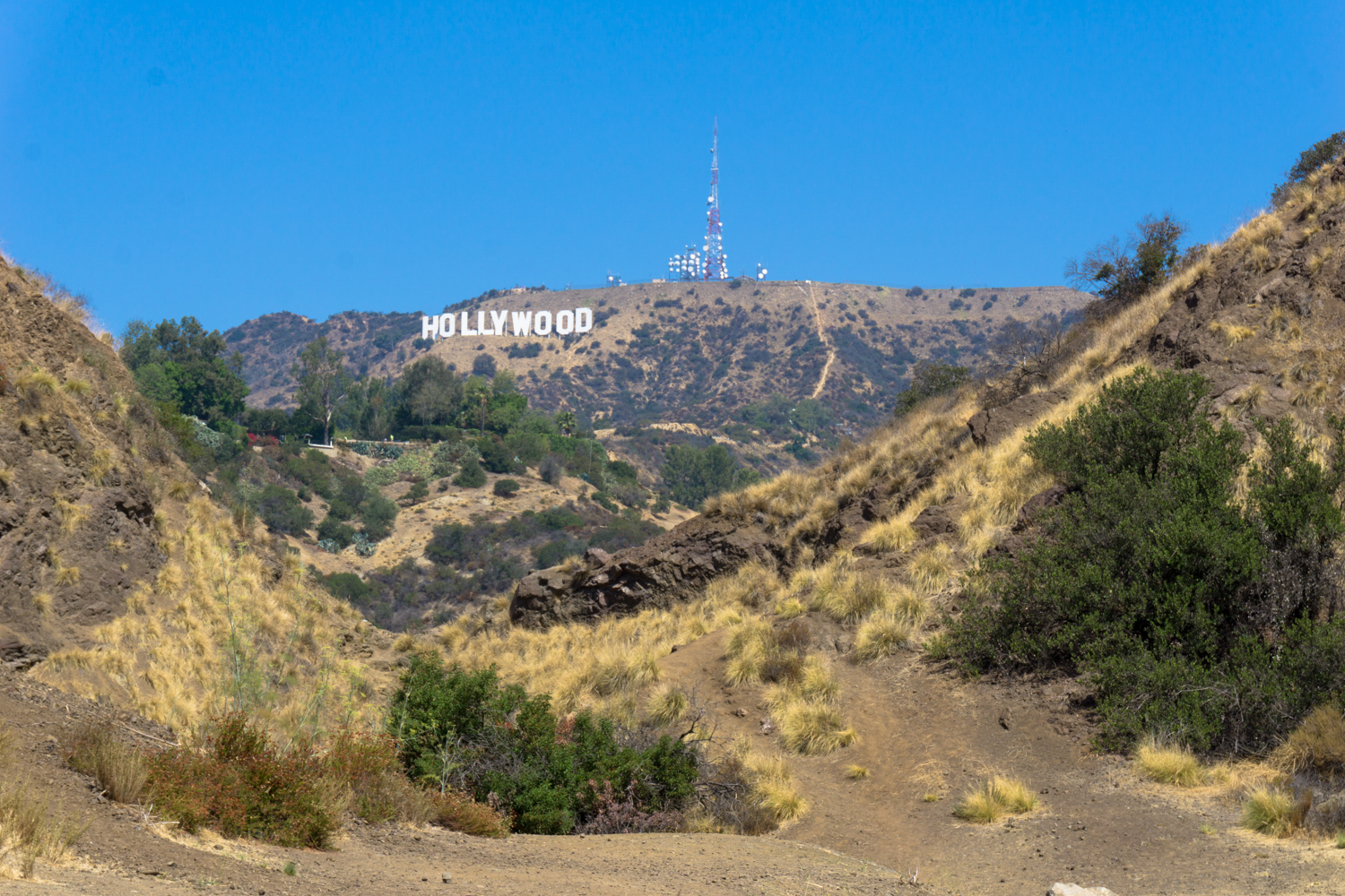
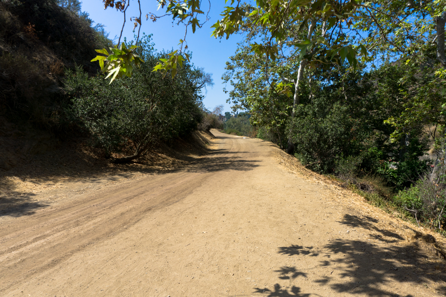
One of our 16 Ways to See the Hollywood Sign The Bronson Caves are one of the most off-beat, interesting, and unique attractions inside Griffith Park — and they also happen to be one of the easiest to access AND a pretty solid place to get a view of the Hollywood Sign, too. What’s not to like? This particular route is a simple out-and-back, but if you’re in the mood for more of a hike — or maybe some more views of the Hollywood Sign — I’d recommend hiking up to the Hollyridge Trail, Tyrolean Tank, or behind the Sign and up to the summit of Mount Lee itself. Park at the small trailhead parking lot at the end of Brush Canyon or along the street further down the canyon near the playgrounds and walk north. You’ll reach a gate where the paved road winds up into the nearby ridges to Camp Hollywoodland. The Brush Canyon Trail heads north into the park. You’re going to look for an old road grade on the east side of the road that bends back toward the south. The Bronson Caves were formed by the Union Rock Company, which operated a quarry here from 1903 through the late 1920s until the increased pressure from new residents forced the company to stop trucking rocks through Hollywood. The quarry’s scars in the landscape are still visible as these sort of strange, unnatural amphitheaters (and, of course, the caves), and are especially clear when you view the region from above or on Google Earth. The area was originally named Brush Canyon, but became known as Bronson Canyon for the street in the nearby neighborhood. You can walk through the cave if you’re not claustrophobic. It’s very short, just be sure to stomp around a bit in case any rattlesnakes are taking a nap in there. These caves are probably most recognizable from the 60’s Batman series, but they’ve also been used in a lot of movies, too, including films like Army of Darkness and The Searchers, one of my personal favorites. From the other side of the caves, you’ll get a pretty solid view of the Hollywood Sign in the distance with some nice Griffith Park topography
Trail Stats
1.0 km
20 m
215 m
194 m
—
Photos
Trail photo
No caption provided.

Trail photo
No caption provided.

Trail photo
No caption provided.
Trail photo
No caption provided.